Smithfield’s Lost City –
The Story of Hanton City And Its People
By Jim Ignasher
This research paper was originally published in 2005 based on research I conducted during the previous two years. It’s posted here in 2026 with updates added.
Photos in this presentation were taken between 2002 and 2005. Click on photos to enlarge.
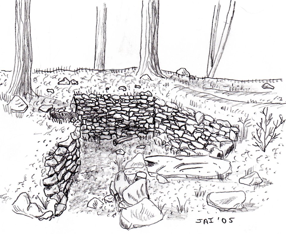
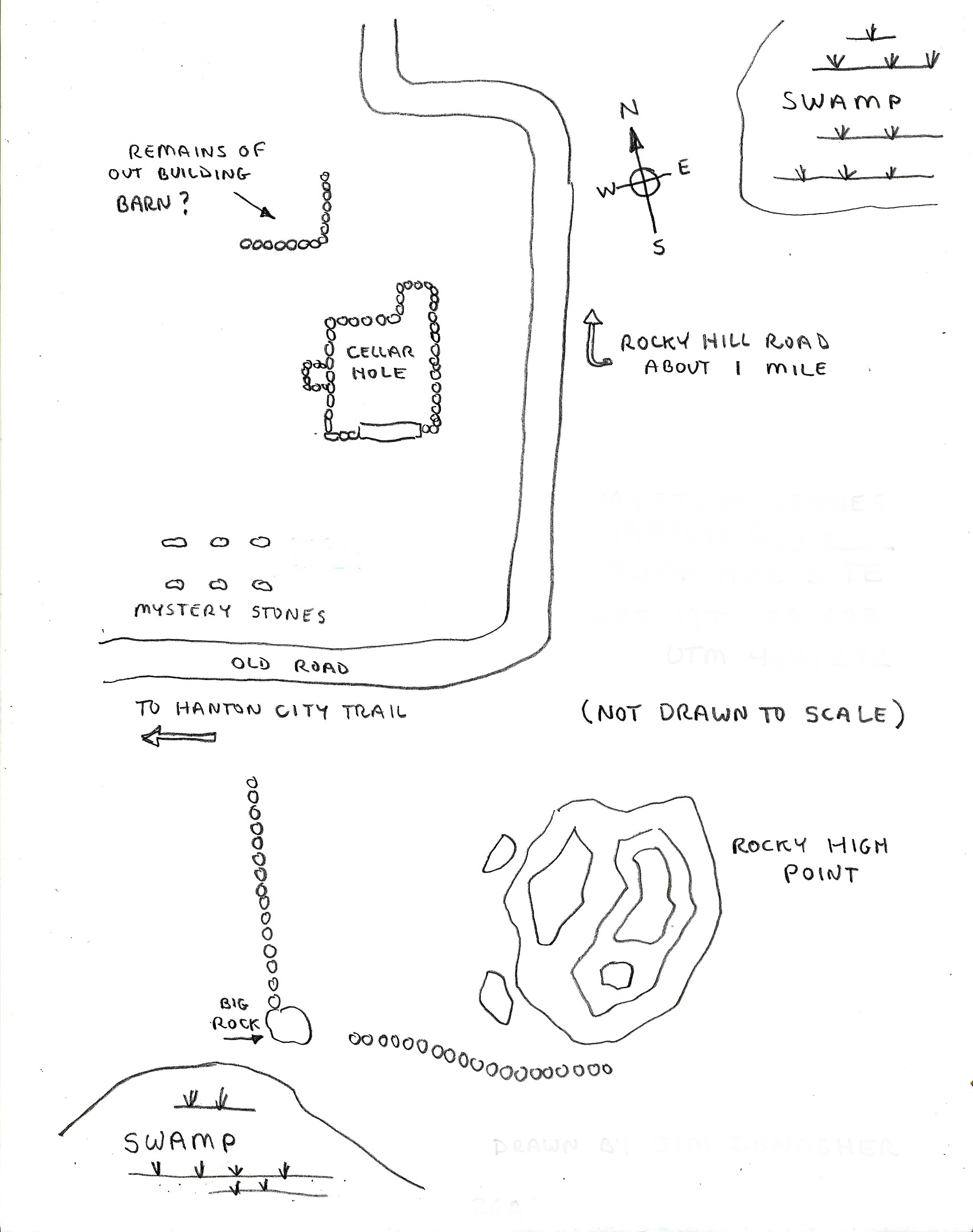
A sketch of a cellar hole in Hanton City.
Part 1 – Introduction
Part 2 – Cellar Holes, Quarries, and Other Sites
Part 3 – Hanton City Researchers
Part 4 – Fact Vs. Folklore
Part 5 – Hanton City in the 20th Century
Part 6 – Hanton City Genealogy
Bibliography
Intorduction
Hanton City, Smithfield, Rhode Island
Buried in the woods in the northwest part of Smithfield, lay the remains of a “ghost town”; a “lost” settlement known as Hanton City. The area has been steeped in folklore and legend for generations. Who were the people that lived there? When did they live there? And, most importantly, what happened to them?
The reason for the questions is the lack of information on the subject. The settlement isn’t listed on old town maps, and no official mention of a “Hanton City” is found in old town records. A book written in 1881 by Thomas Steere, titled “The History of Smithfield, R.I.” fails to mention Hanton City. The area has stone lined cellar holes indicating where homes once stood; three graveyards, and miles of stone walls, all proving that a settlement once existed, but why no official mention of the so-called “city”?
Local folklore tells of several legends as to the origins and inhabitants of Hanton City. One story goes that the settlement was made up of ex-slaves and Native Americans who were forced to live in seclusion because they weren’t welcome elsewhere in the town. Another, states that people from the town’s poor farm were sent to live there. A third story goes that British soldiers who deserted during the American Revolution settled the area. (For obvious reasons, they would have preferred to remain anonymous.) An offshoot to this story is that a single British soldier who deserted during the Revolution married into the Hanton Family. Still another story claims ex-prison inmates established the settlement. Anyone of these stories may explain why the settlement was never mentioned in books or indicated on maps.
There are several theories as to what happened to the population of Hanton City. A popular one is that they were wiped out by a plague. Another says that they had their land confiscated for refusing to serve in the American Revolution because they were loyal to the King. A contradiction to that story is that they all left to fight in the Revolution and never returned. A less romantic theory states that the land was settled by people who tried to make a living at farming the rocky soil and failed, so they moved on.
This paper will attempt to answer some of the questions and separate fact from folklore, as well as document the few remaining points of interest in the area.
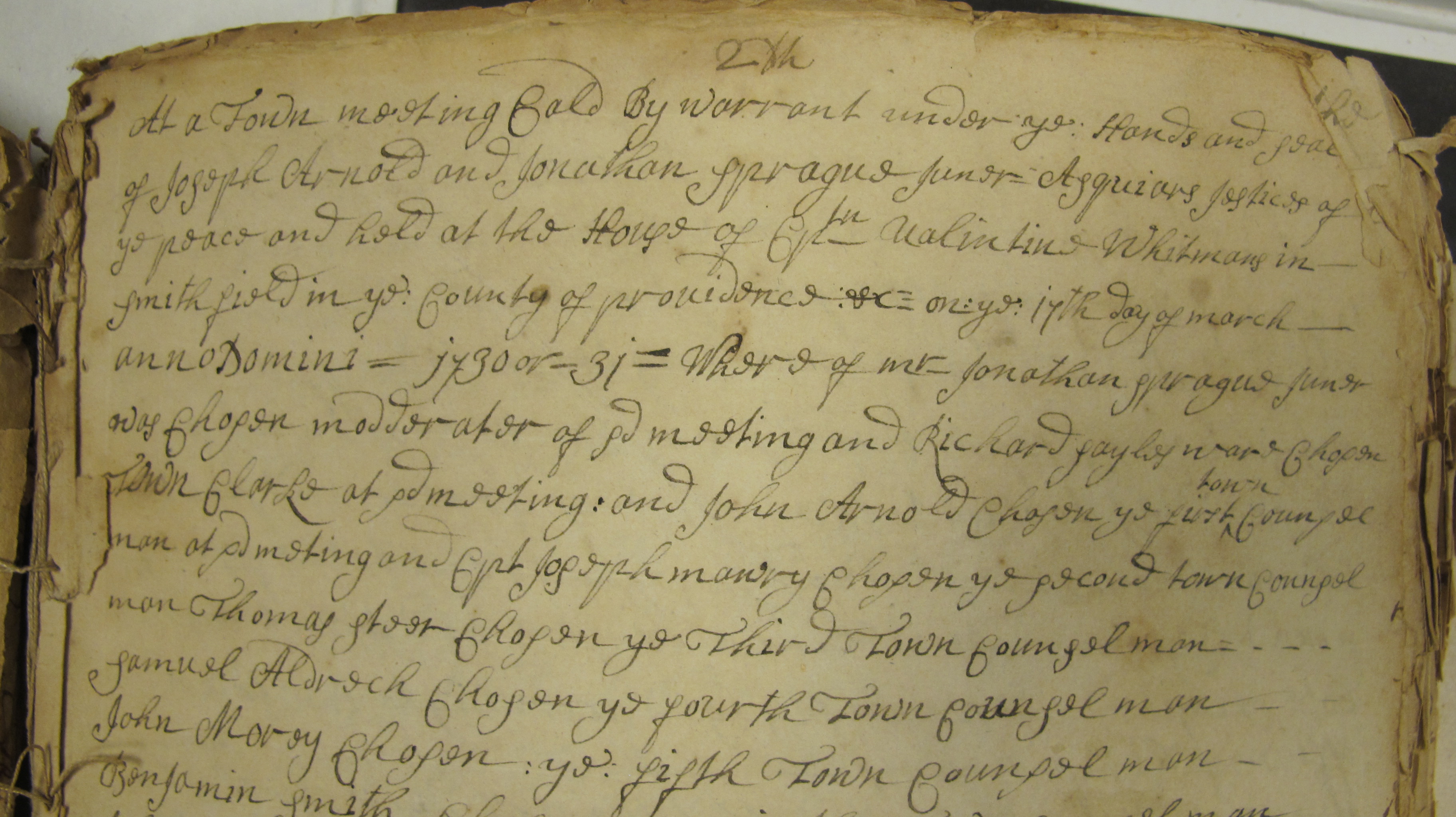
In documenting the history of Hanton City, I will talk about past researchers, what they found, and present it in the chronological order that relates to the time period in which they did their research. I will however, go out of order with one piece of information – the oldest known newspaper article about Hanton City dated October 6, 1889. My reason for this is because previous researchers apparently never saw this article. It was only brought to my attention at the end of March, 2004, by Smithfield Town Councilman Richard Porrier, when he learned of my project.
The reader will note that I’ve given unofficial names to the sites mentioned in this paper because they have no official names. This was done for clarification purposes, rather than simply refer to them as , “a farm”, or “a quarry”, and then, “another farm”, or “another quarry”. The only exceptions I’ve made was with the Brown Farm, which is known to have been owned by the Brown family, and with the Threshing Rock, which already had the name attached to it.
The following illustration is a map of Hanton City showing the general locations of the sites mentioned in this paper.
Click on map to enlarge.
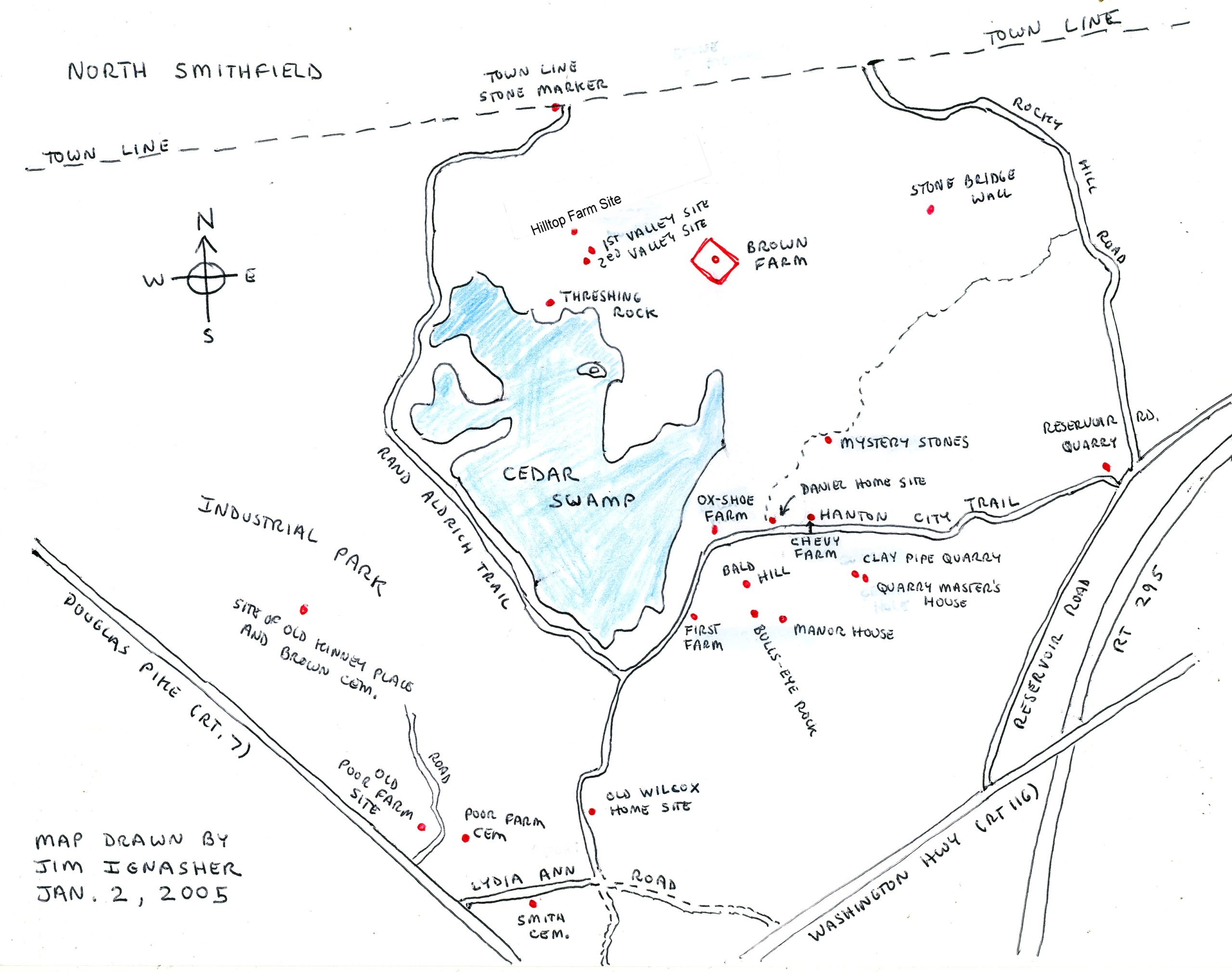
Hanton City’s Location
(2005)
Bordered by Douglas Pike, (Rt. 7), to the south, Washington Highway, (Rt. 116), to the east, and Reservoir Road and Rocky Hill Road to the north, the remains of the abandoned settlement sit well off the beaten path deep in the woods behind a present day industrial park. Former town roads, once well maintained, but now long abandoned, still cross through the area, although they are little more than rutty and rocky dirt lanes today, accessible mainly by foot or four wheel drive vehicles. The main routes, which still exist as paper streets on contemporary maps, (In 2004) were Hanton City Trail, Lydia Ann Road, and the Rand Aldrich Trail.
Aerial photos taken in 1939 clearly show these roads, as well as cart paths leading off them.
The Hanton City settlement pre-dates the roads that define its present boarders. Construction of Douglas Pike, (a.k.a. Rt. 7), was begun in 1805 for the purpose of establishing a turnpike road from Providence to Douglas Massachusetts. Washington Highway, (a.k.a Rt. 116), and Reservoir Road, were both constructed about 1895. Reservoir Road was created to gain access to the Woonsocket Reservoir which was created in 1895.
Hanton City Topography
The topography of the land is very hilly and rocky with swampland in the low areas. There are signs that the area was carved out and formed by the glacier that covered the New England during the last Ice Age. As the ice receded, the melting water carried sand and silt that created the rock formations that are seen everywhere. Some rocks show evidence of glacial scarring.
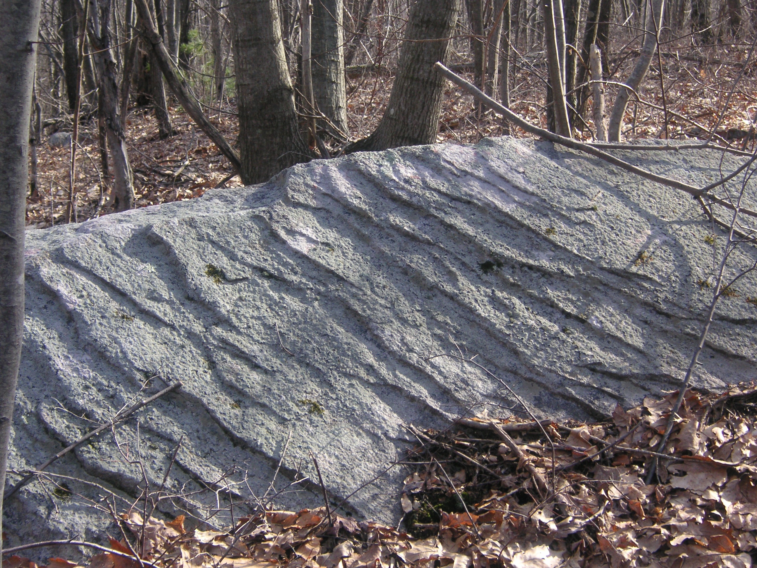
An example of glacial scaring in Hanton City.
The glacier also left behind huge rounded boulders called “Glacial Erratic’s”. These rocks were likely tumbled for many miles by the rushing waters created by the melting ice. One can also see that many of the rocks used in the numerous stone walls that criss- cross the area have rounded sides indicating that they too were likely carried by the melting glacier from someplace else.
Geologically speaking, the area hasn’t changed much in thousands of years.
How Did Hanton City Get Its Name?
So why isn’t Hanton city mentioned in early town records? Perhaps one reason is because it didn’t have a name – at least not in the early days. This begs the question, how and when did Hanton City get its name?
The most common answer is that it was named for the Hanton family who once lived there. However, it seems that Hanton wasn’t their only name. Their name appears to have been Harrendeen, or Herenden, or Herndon, or one of 14 other ways of spelling it. The name has been found spelled many different ways in old town records. In fact, all 17 variations are actually corruptions of the name Harrington. Therefore, Harrington became Harrendeen, which became Hanton. Hence, Hanton City.
Research indicates that the Hanton’s or Harrendens, along with two other families, first settled the area in the late 1600’s, at a time when Smithfield was still a part of Providence.
Exactly when the name “Hanton City” was first coined is unknown, but the earliest reference to the name is found in a newspaper article from 1889.
Why was it called a city? That’s open to interpretation. The Hanton’s were a large family, and other large families also lived in the same area, but the present day remains of the settlement are nowhere near big enough to even be called a town, let alone a city.
However, there are indications to suggest that Hanton City may have been larger and spread out farther to the north into today what is the Town of North Smithfield. Looking at contemporary maps of North Smithfield, one will see there’s a Hanton Road on the north side of Rt. 146 near the Woonsocket line.
A book titled “The History Of North Smithfield”, by Walter A. Nebiker, published in 1976 by New England History Press, has a map on page 16, drawn by Irene G. Nebiker. The map is titled, Preliminary Map of Lands About North Smithfield, c. 1675. It indicates land owned by Benjamin Herendeen in what is today North Smithfield.
Yet it’s not the size of an area that makes it a city, it’s the form of government, but there are no indications that Hanton City was self-governing. Not counting Garden City in Cranston, which is a modern name given by those who built the development, there are at least two other small villages in Rhode Island that have been called a city when in fact they weren’t. There’s Biscut City in Charlestown, and Rice City in Coventry. Neither was self-governing, and neither was a city.
The towns in Rhode Island are made up of villages. In Smithfield, for example, there’s Greenville, Esmond, and Georgiaville as the three main villages, with Spragueville, Wionkheige, and Stillwater, being lesser known. Most likely, Hanton City was simply the name for the village settlement, calling itself a city, even though it had no formal government of its own.
According to Thomas Steere’s book, “History of the Town of Smithfield” published in 1881, the entire town of Smithfield only had a population of 450 at the time of its incorporation in 1731, and at the time of incorporation, Smithfield included the present-day municipalities of North Smithfield, Lincoln, Central Falls, and that portion of Woonsocket south of the Blackstone River. The people living in Hanton City would have made up a portion of this population.
In 1871 the town was divided, and the boundaries of Smithfield as we know them today were established.
Other Names For Hanton City
Hanton City has also been called, “Island Woods”, or “Island’s In The Woods”, due to its topography of high, rocky, wooded, hills rising out of the many swamps and wetlands in the area.
In the early 1800’s it was also called “The Rumbly”, presumably because of the rough roads and rough country they passed through.
Hanton City has also been referred to as “Cedar Swamp” as there is a large cedar swamp right in the middle of it. There is another swamp in the Greenville section of Smithfield that’s also known as Cedar Swamp, but it’s not related to Hanton City.
As far back as the 1880’s, Hanton City has also been referred to as “Haunted City”. There are two explanations for this. The first would imply that only ghosts inhabit the place, or that the area is a ghost town. In fact, an internet search for Hanton City will bring up “hits” for websites about ghosts and ghost towns. During my research, I could not find anyone who knew of, or had ever heard of, any ghost stories connected with the area.
The generally accepted explanation is that “Haunted City” is just a corruption of the name Hanton City which came about when the area became deserted.
The Roads Of Hanton City
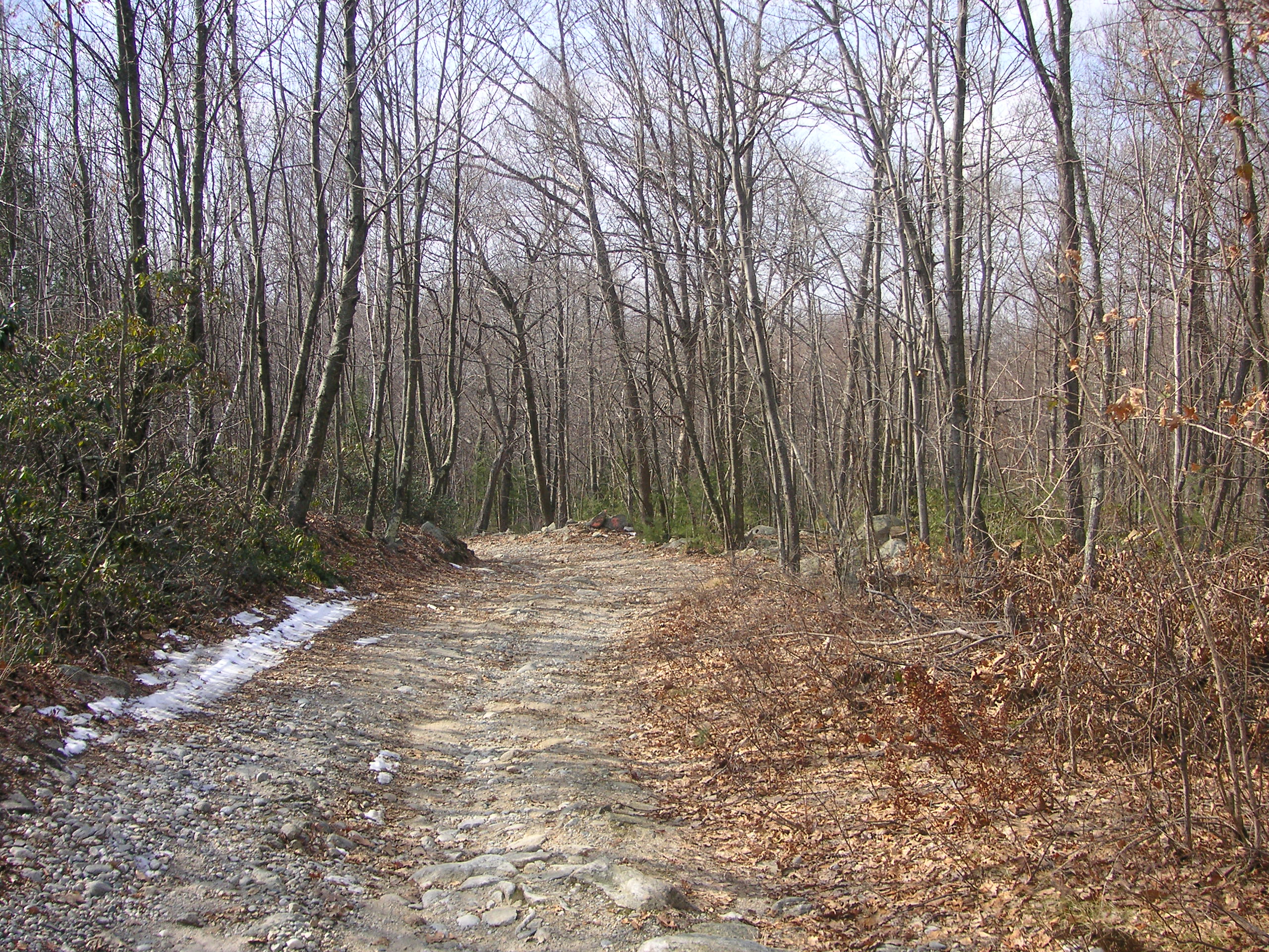 Hanton City had three main roads that were officially recognized by the Town of Smithfield; Hanton City Trail, Rand Aldrich Trail, and Lydia Ann Road. It seems possible that there may have been other roads judging by present day trails in the area that pass certain sites, but if they had names, those names have long been forgotten
In some cases, only faint remnants of a road remain, while in others, the roads are still easily passable on foot or by four-wheel drive vehicle. Some are bordered by stone walls, indicating they are very old, while others are not, making their age the subject of speculation.
Hanton City Trail
Hanton City Trail is an old road dating back to the early days of the settlement. It was presumably named for the Hanton family who lived in the area. The road begins at the western end of Stillwater Village on Stillwater Road, in a developed area of town. This portion of the road is well marked and newly paved with modern houses built on either side.
Legend has it that an old house that once stood on the corner of Stillwater Road and Hanton City Trail was said to have been used to hide runaway slaves as part of the “Underground Railroad.” Allegedly there were underground tunnels in the basement to be used as a means of escape if necessary. Unfortunately, the house was demolished sometime in the late 20th century to make way for the development that now stands in the area.
From Stillwater Road, Hanton City Trail makes its way northward and stops at a dead end turn-around called Summer Court. Smithfield Historical Cemetery # 62 is on the corner of Summer Ct. and Hanton City Trail. Members of the Smith family are buried here. The graveyard is fenced with neat stone posts with iron bars set in them. Most of the early stones are simple unmarked field stone set at the head and foot of each grave. The most prominent are two slate stones belonging to:
1) Alfred Smith, who died October 15, 1828, at age 58, which would mean he was born about 1770.
2) Eliza Smith, “consort of Mr. Alfred Smith”, died Feb. 25, 1840 at age 54, meaning she was born about 1786.
Another stone, which is badly broken, reads Emor Smith, “son of Alfred and Eliza” died Feb. 11, 1826 at age 7 years, 1 month, 28 days.
Two other damaged and partially buried white sandstone markers belong to people named Bartlet. One can be read as belonging to Monroe Bartlet, husband of Hulda E. Smith, July 18, 1833, March 14, 1877.
The other stone belongs to Hulda E. Smith, Sept. 30, 1819, January 23, 1893.
Click on imaged to enlarge.
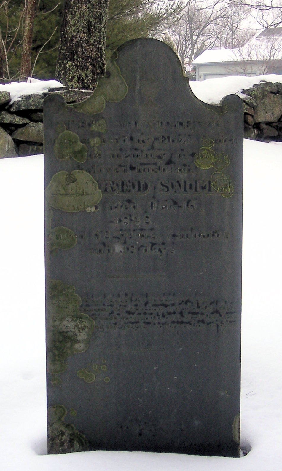
Alfred Smith Grave
Smithfield Hist. Cem. #62
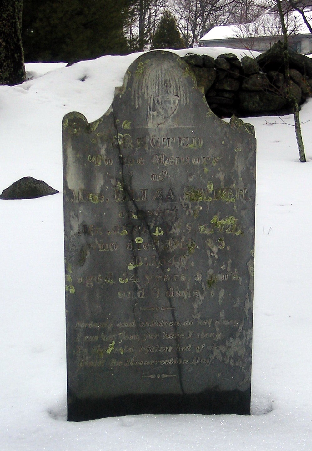
Eliza Smith Grave
Smfld. Hist. Cem. #62
————————————————————————–
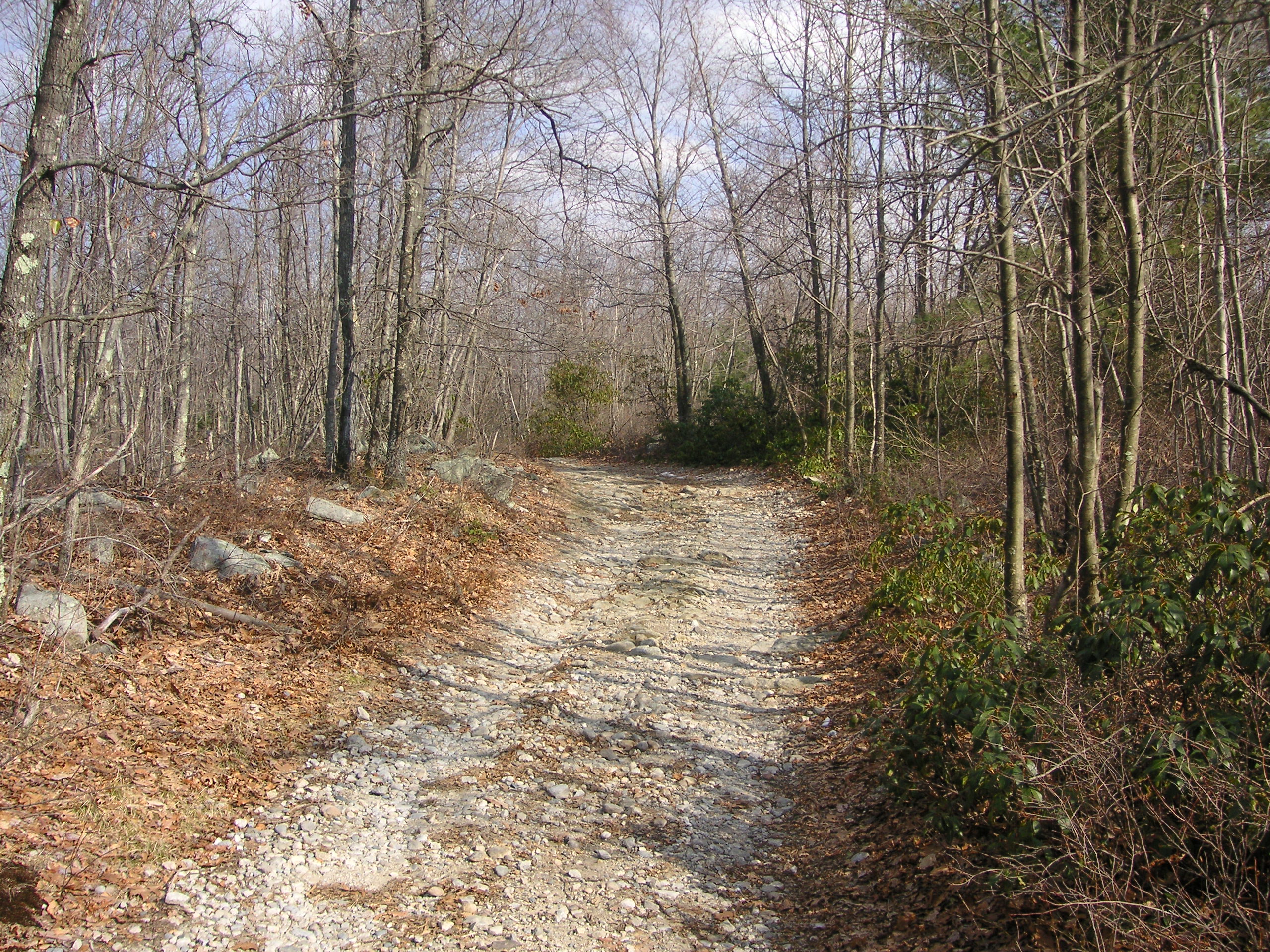
Hanton City Trail – 2003
The older portion of the Hanton City Trail continues on, northbound, behind and beyond the new houses, and continues on through the intersection of present day Route’s 7 and 116. On the northwest corner of the intersection, (Where a credit union stands today.), the trail resumed winding off through the woods, crossing Lydia Ann Road, and proceeding up towards Rocky Hill. (This section of the road disappeared in 2004 when construction of a credit union was begun on this corner.) The trail picks up again where it used to cross Lydia Ann Road and meanders over Rocky Hill, and comes out onto Reservoir Road. It used to come out onto Rocky Hill Road, just around the corner from its present location.
Rand Aldrich Trail
The Aldrich Trail, also known as the Rand Aldrich Trail, began on Rocky Hill Road in the town of North Smithfield, at what was once the Aldrich homestead. By 1937, the homestead was gone and only a cellar hole remained. Today, the entrance of Aldrich Trail from Rocky Hill Road is now a private driveway to a private house.
The Aldrich Trail headed southward from Rocky Hill Road and into the town of Smithfield. A rough, granite stone, marker, about 2 feet high, still marks the town line on the western side of the trail. It appears the marker was once taller and the top has been broken off. Since Smithfield and North Smithfield became two separate towns in 1871, it’s assumed the maker has been there since then.
The Aldrich Trail continued south and south-east snaking its way across the terrain eventually connecting with Hanton City Trail.
Today, a portion of the Aldrich Trail has been incorporated into a paved walking trail behind an industrial park.
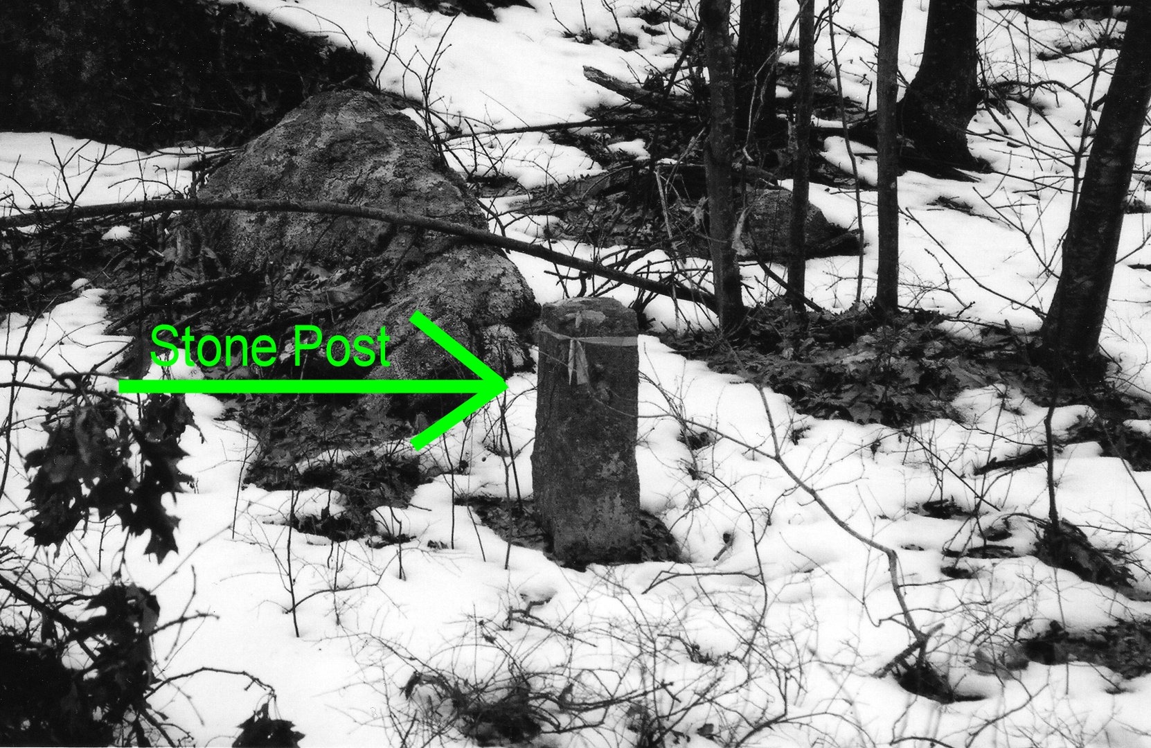
Smithfield – North Smithfield town Line marker on Rand Aldrich Trail.
Lydia Ann Road
Lydia Ann Road, was named for a woman who lived in the area during the 1800’s. According to a newspaper article written by Martha O. Tanner that appeared in The Observer newspaper on August 10, 1972, her full name was Lydia Ann Smith, and she lived with her brother in a large house that once existed in the area of where North Central State Airport is presently located.
The article stated the Lydia Ann is said to have “kept her hair dyed with stove blacking and played the mandolin. The young people would gather at her house…surreptitiously, we suspect…for dancing and good times.”
Lydia Ann Road once ran from Douglas Pike, across the south-east corner of Hanton City, where it crossed Hanton City Trail, and continued north-east across where present day George Washington Highway is located, and continued on where Interstate 295 presently sits, and ended where the North Central Airport is today. Most of Lydia Ann Road still existed in 2005, however Rt. 295 bisected the middle of it. Update 2026: The road portion from Route 7 to Rt. 116 no longer exists.
Smithfield Historical Cemetery # 8 is located on Lydia Ann Road a few rods in from Douglas Pike on the right hand side. Members of the Smith Family are buried there and could be possible relations of Lydia Ann Smith. There are several stones in this cemetery, but some are of old field stone, and lack any inscription. Of those readable, there are:
Alice C. Smith B. 9-13-1845, D. 3-21-1909.
Charles Smith B. Dec. 1812?
Diana Smith, wife of Charles, B. 11-22-1826, D. 1-2-1917,
Sarah A. Smith, D. Dec. 1867, age 6 yrs., 5 mos.
Francis Smith, B. 11-19-1832
It can be assumed by the date on Sarah Smith’s stone that the family was in the area in the 1860’s. A map of Smithfield dated 1870 shows several Smith families on the outskirts of the Hanton City area.
The final resting place of Lydia Ann Smith is not known.
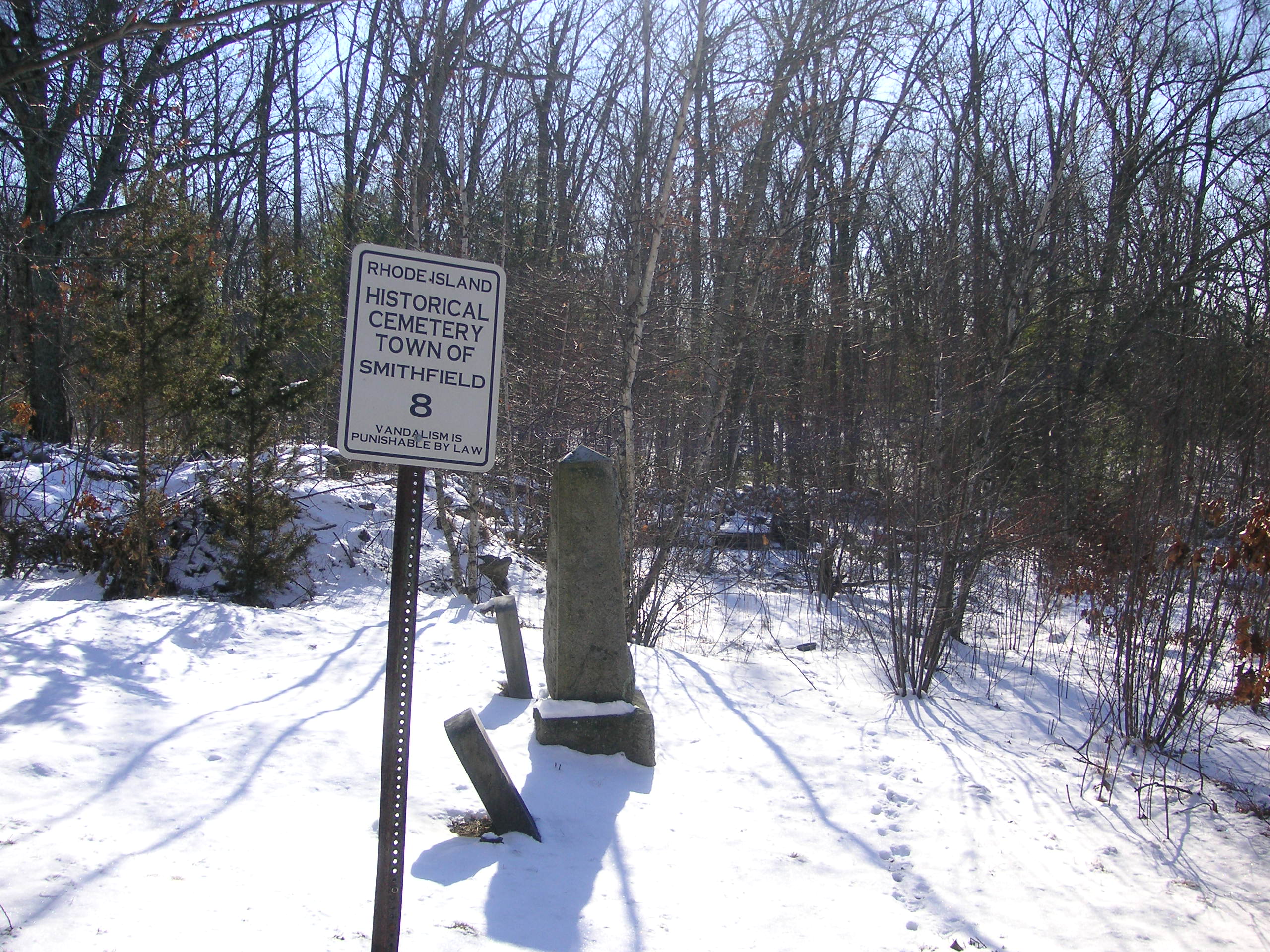
Smithfield Historical Cemetery #8
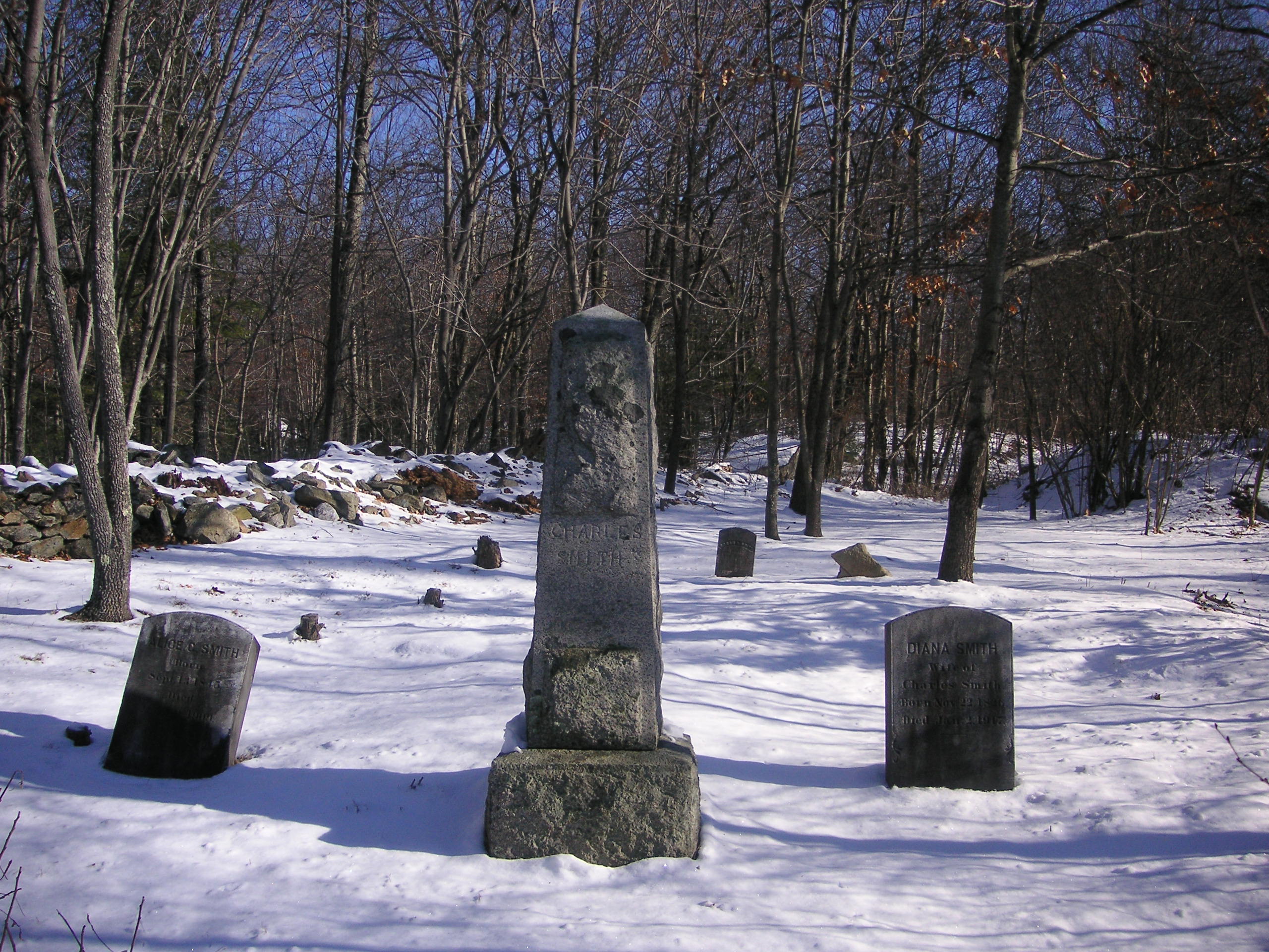
Smithfield Historical Cemetery #8
Part 2- Cellar Holes, Quarries, And Other Sites.
The First Farm
In 2005, if one made their way up Lydia Ann Road from Douglas Pike, they would have come to a four-way dirt intersection where Lydia Ann Rd. crossed Hanton City Trail. (This portion of Lydia Ann Rd. no longer exists.)
If one took a left turn at that intersection and followed Hanton City Trail northward, they’d come to a fork in the road. To the left would be Rand Aldrich Trail. If one took the right fork and stayed on Hanton City Trail, they’d come to what I’ve named “The First Farm” as it was the first sign of the Hanton settlement.
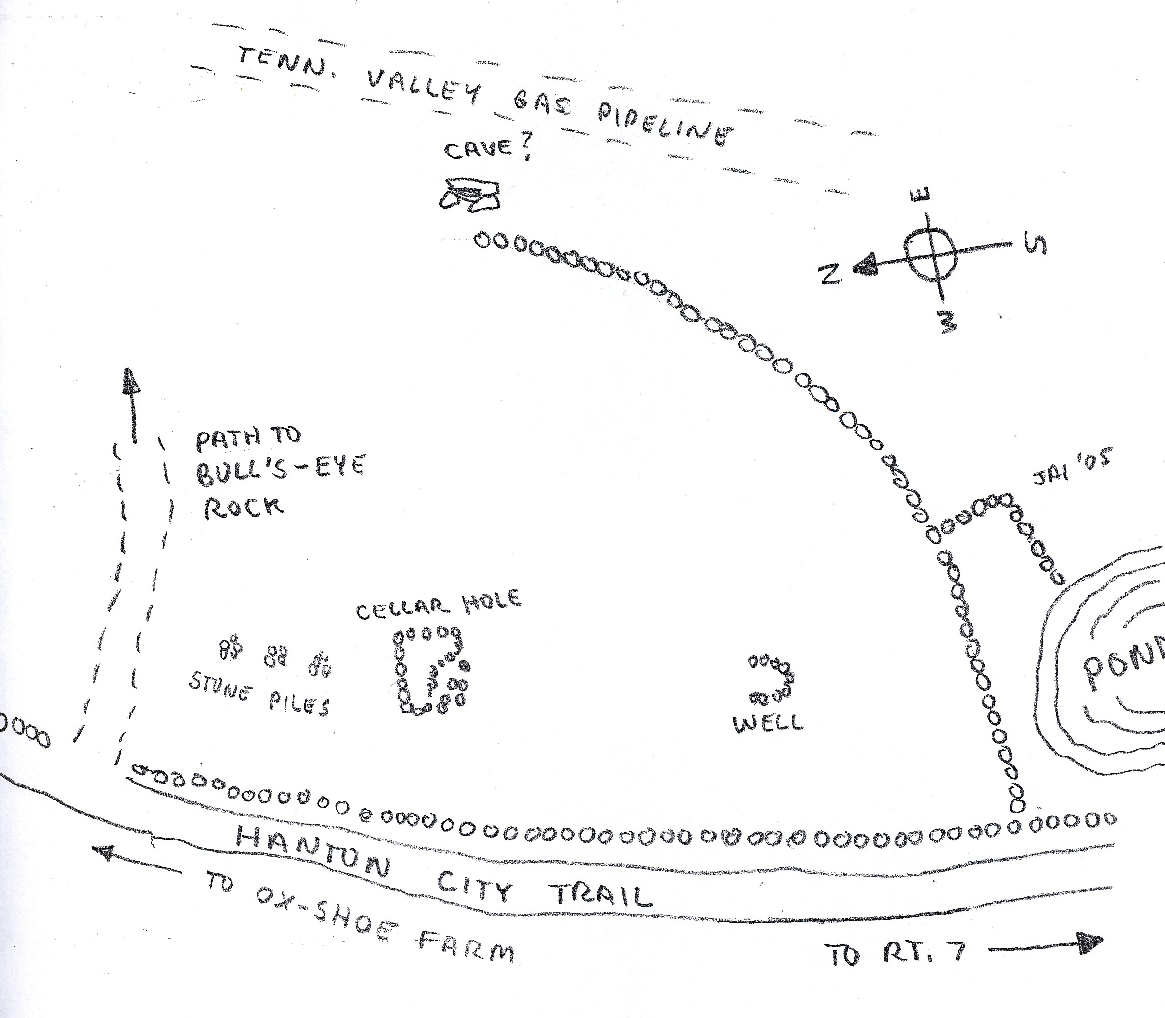
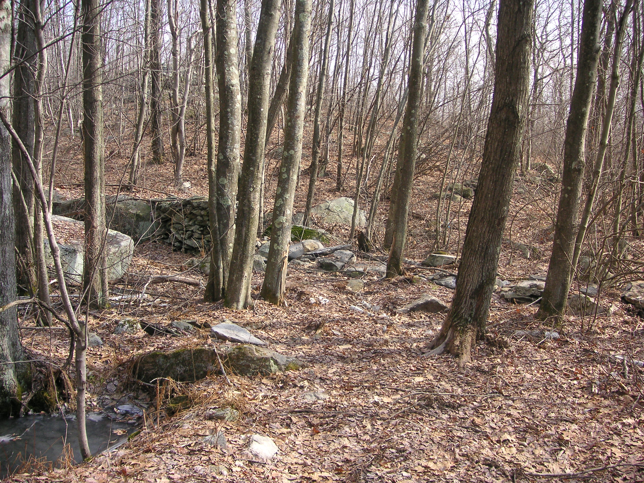
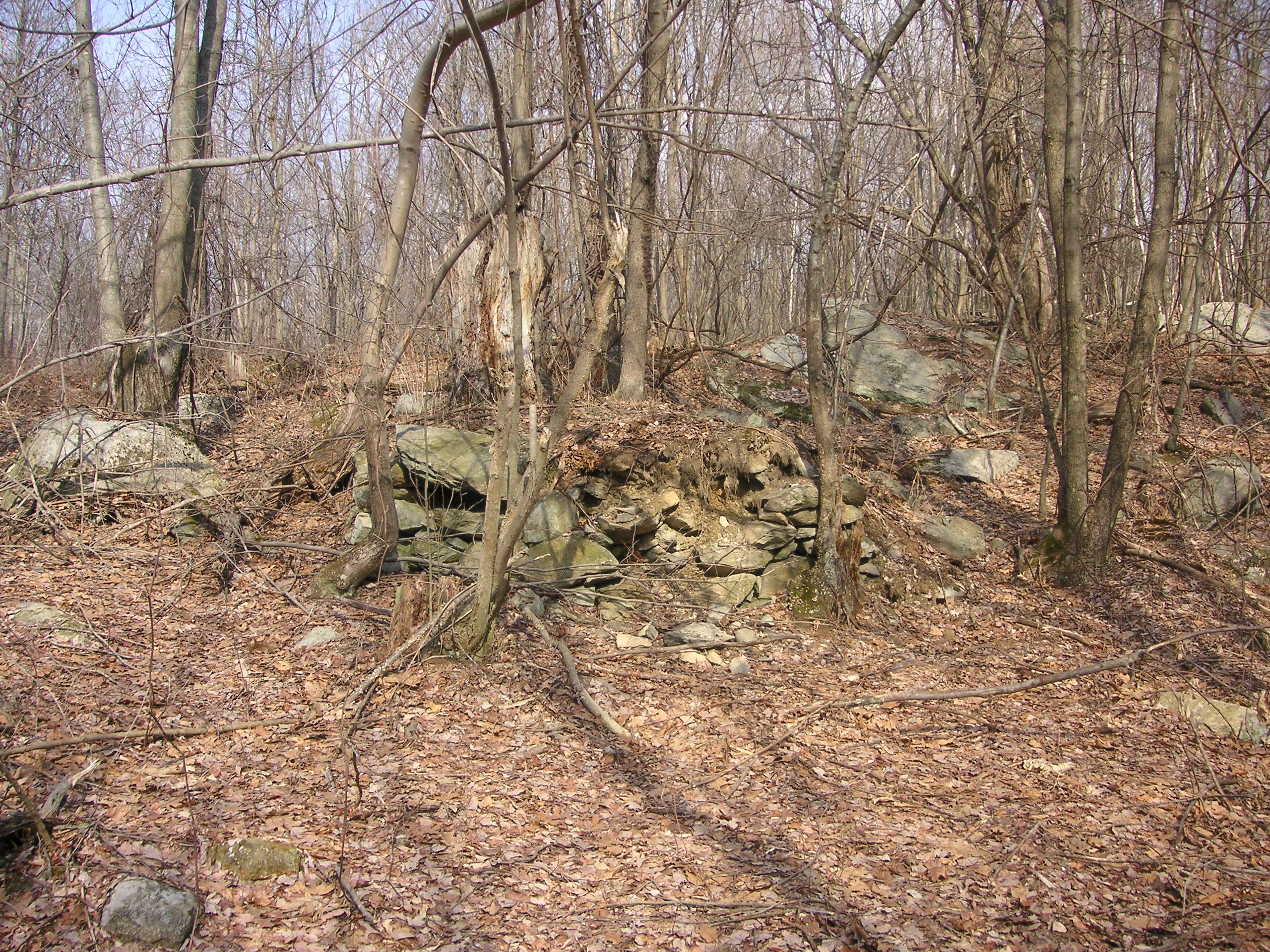
The site is located on the right side of the road and consists of a well, a partially collapsed stone-lined cellar hole, and bordered by stone walls. The well is easily seen as it’s circular formation rises up out of a small hillside. This is an old well, about 20 feet deep, with stone lined walls, all constructed by hand. Stone walls can also be seen running through the woods at this point.
The well rises up from the ground. Others in Hanton City are flush to the ground.
The well from the opposite side.
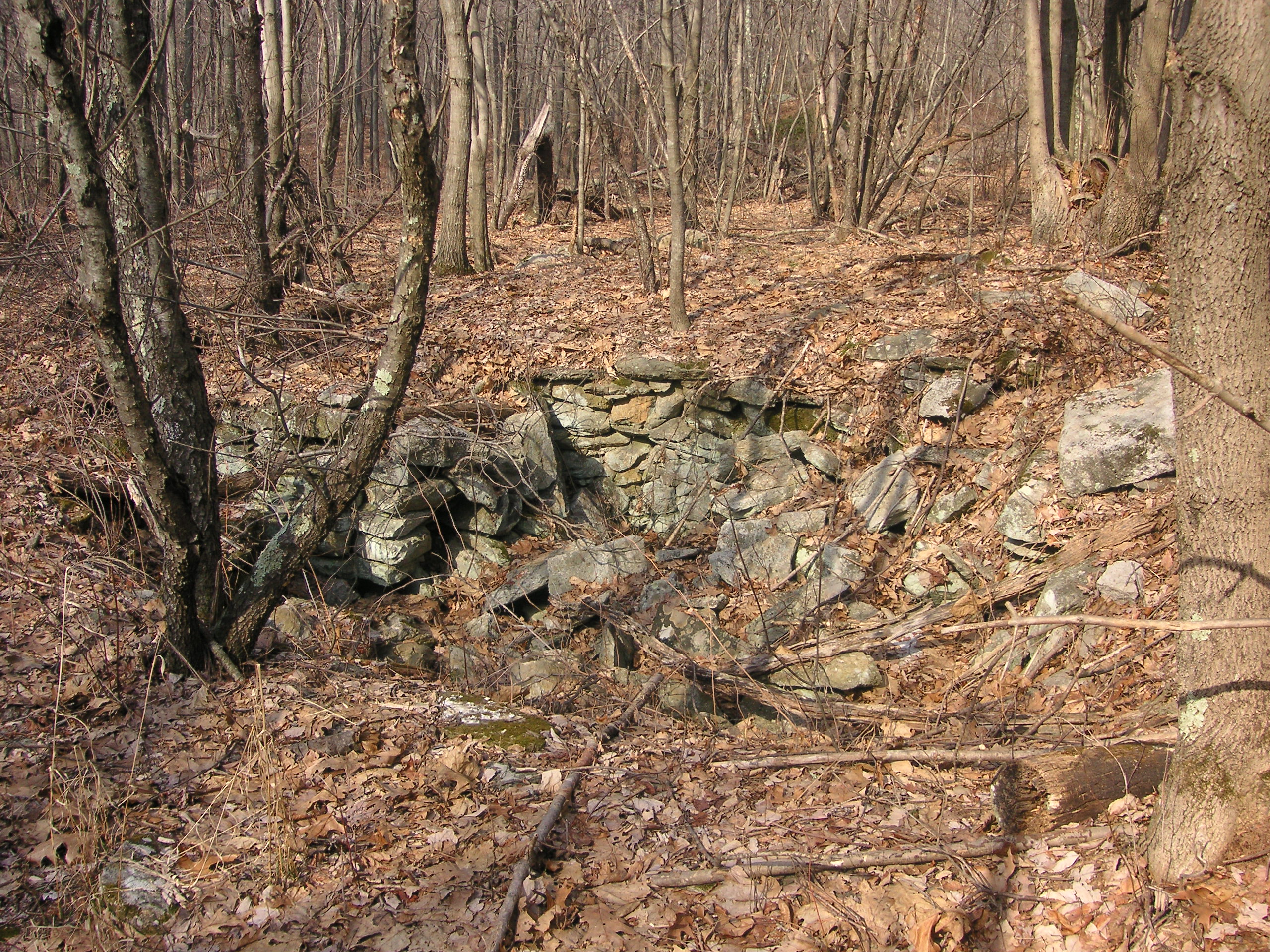
The collapsed cellar hole at the First Farm.
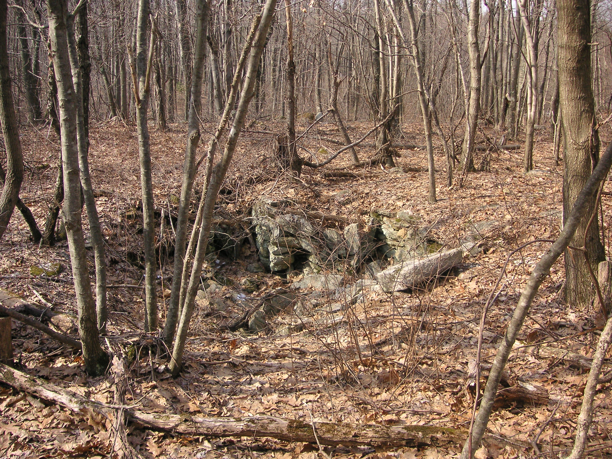
Collapsed cellar hole at the First Farm.
Looking up the hill from the cellar hole site, one will notice what appears to be a cave by the way the sun casts a shadow, but in reality it is really more of an overhang with a recessed cavity.
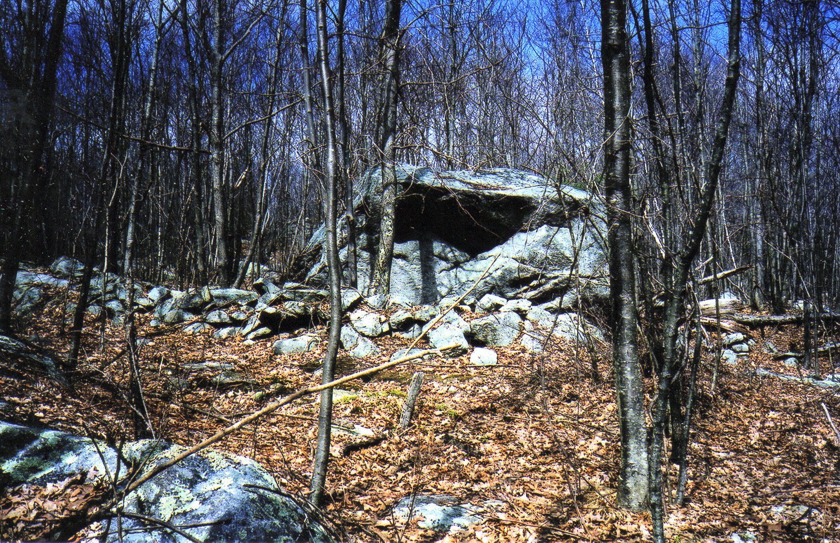
What looks like a partial cave due to shadowing is really just a rock formation.
Rock formation at the First Farm.
Bull’s-eye Rock
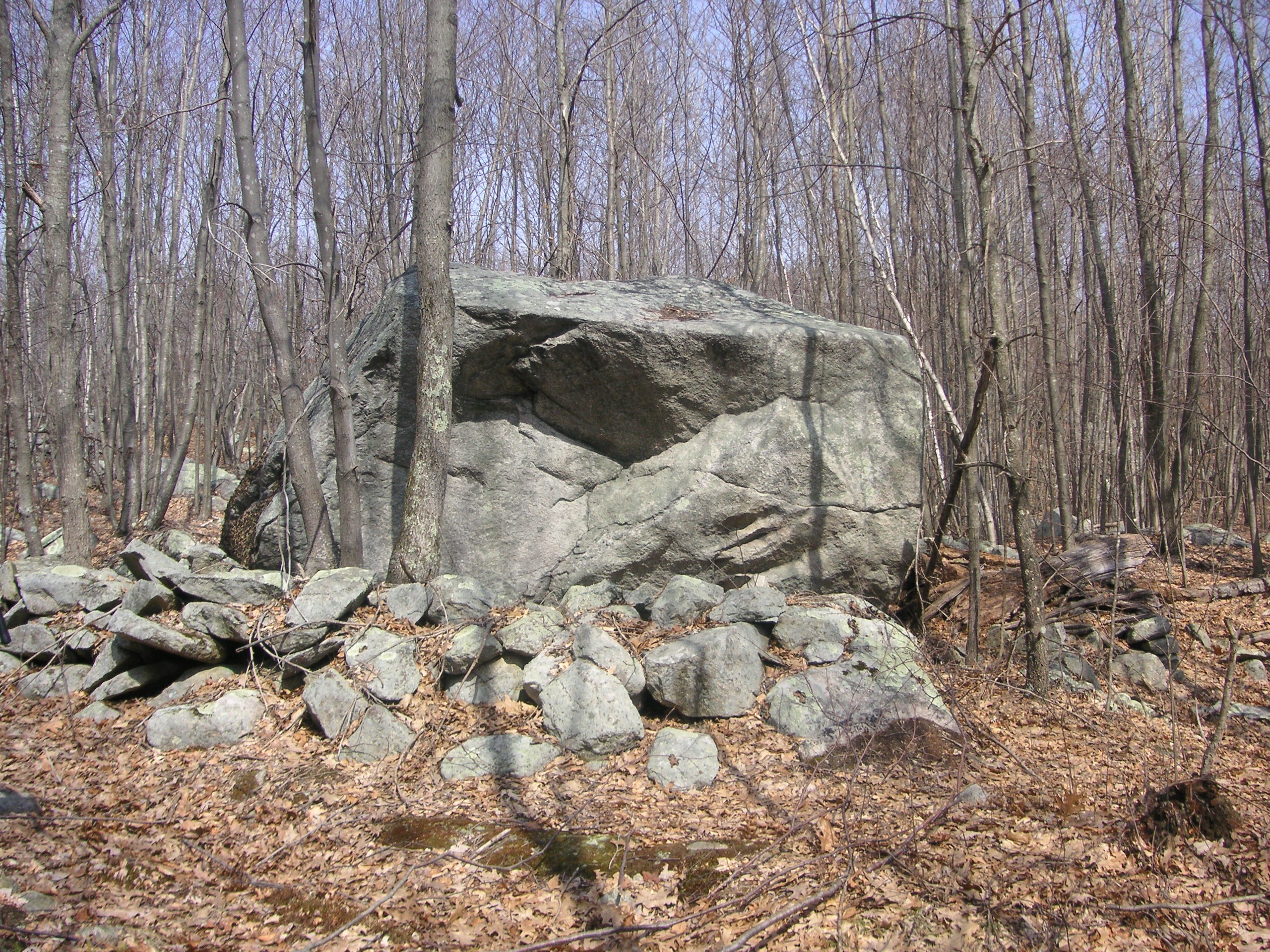
Just past this cellar hole at the First Farm, on the same side of the road, are the remains of an unnamed old roadway. If one takes this trail, it leads across the Tennessee Valley Pipeline and to another path on the opposite side to where one will find a giant boulder, and several stone walls. The boulder is a glacial erratic, and sits at what was once a crossroads. On the south side of the boulder, one will see a round “spot” which some call a bull’s-eye. The unofficial name for this boulder, according to Mr. Norm Daniel who used to live in Hanton City, is “Bull’s-eye Rock”, as youths allegedly used to shoot at it for target practice. (More about Mr. Daniel later.)
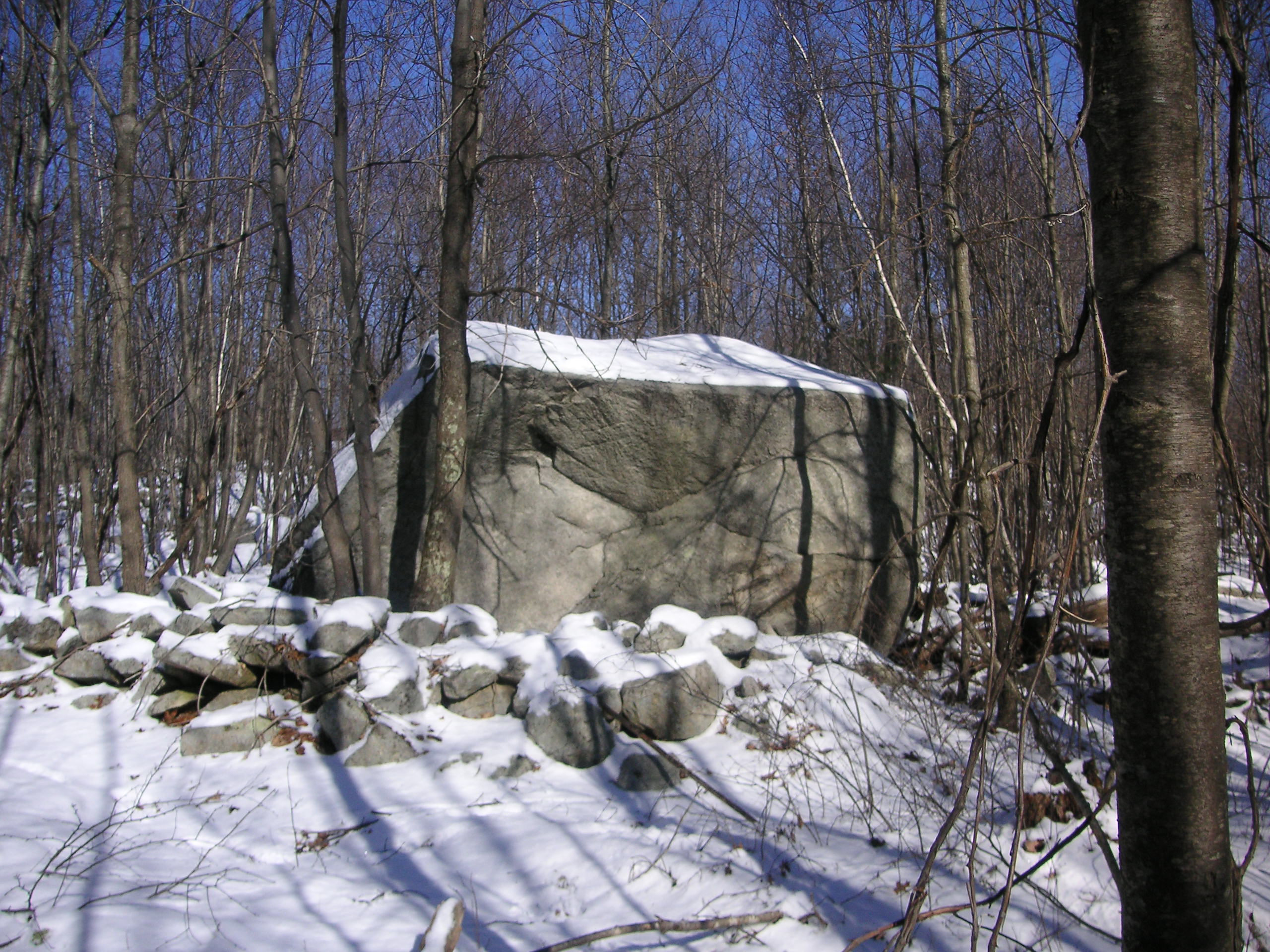
A View of bull’s Eye Rock or “Target Rock”.
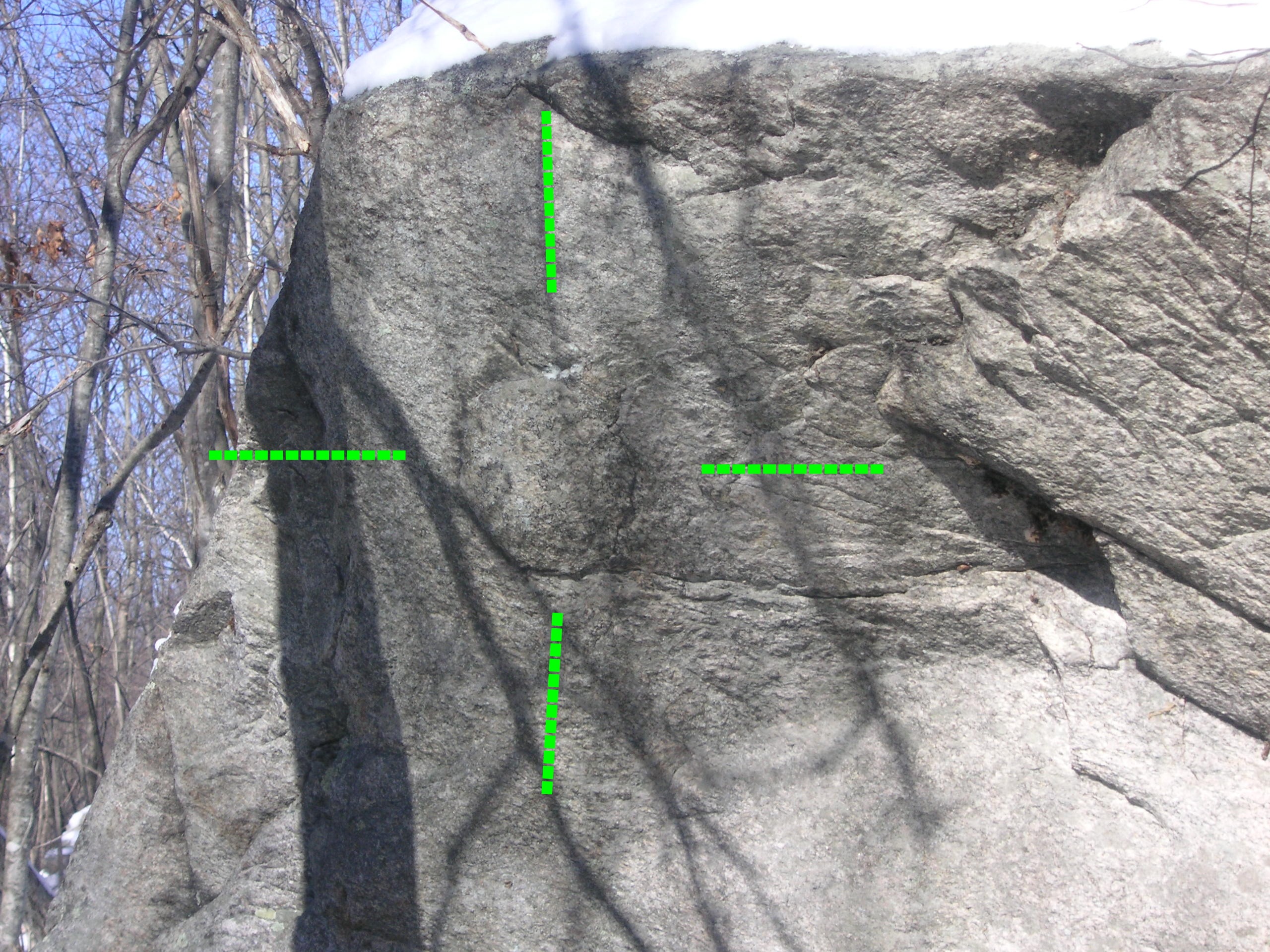
A close-up of the “Bull’s Eye”
The Manor House
In an easterly direction, a short distance away from Bull’s-eye Rock, one will find the remains of an old cellar hole and house foundation that I’ve named the Manor House because it’s the largest (known) cellar-hole in Hanton City. Judging by the size of it, a substantial house once stood there.
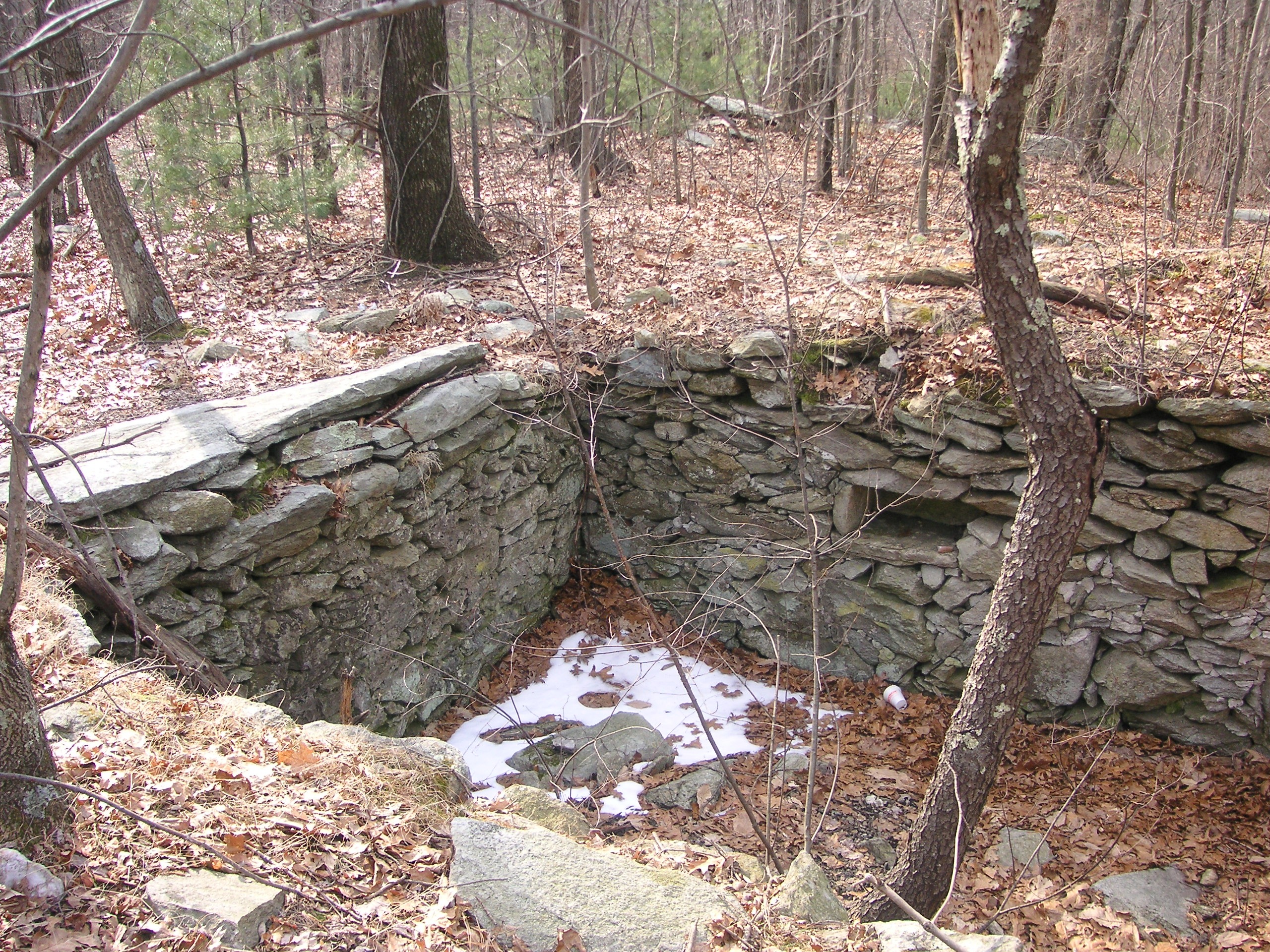
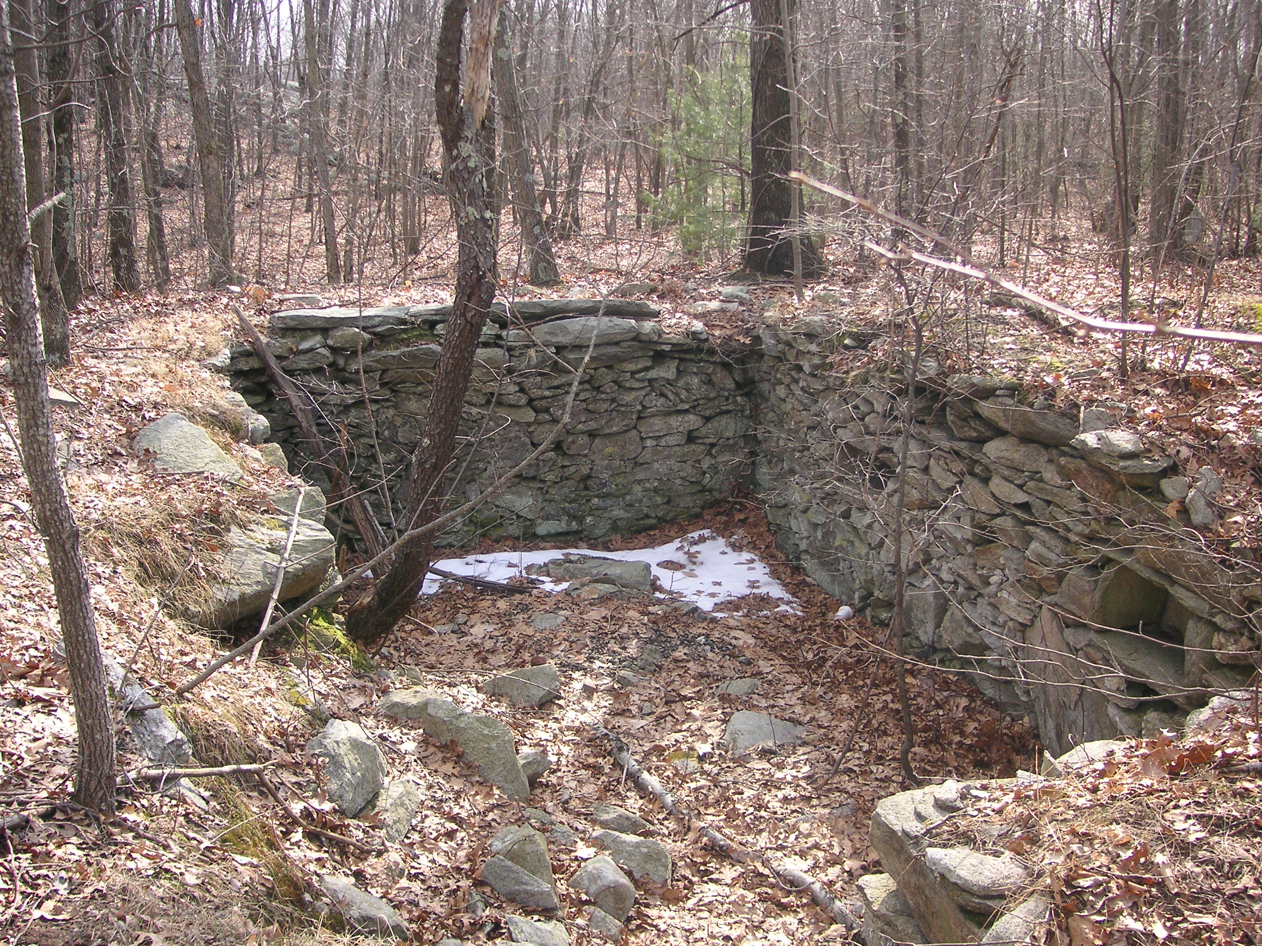
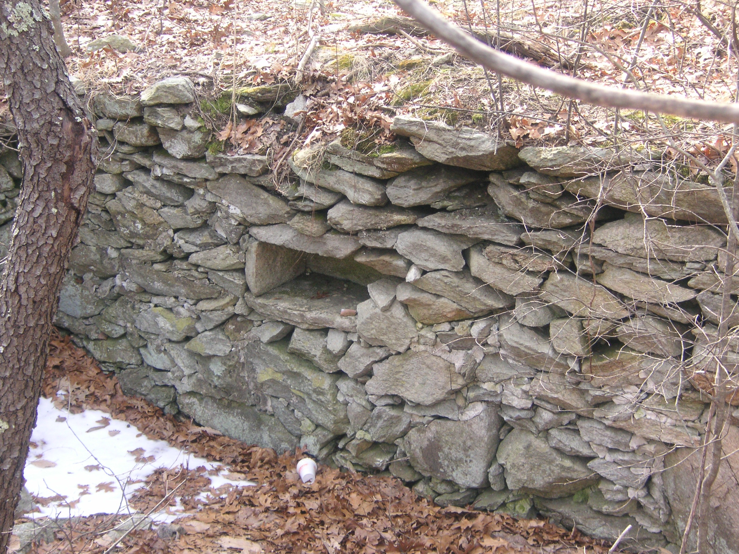
The cellar hole appears to be divided into two sections, divided in the middle by the remains of what was once a large chimney. The deeper of the two sections was presumably once under the kitchen portion of the house. Two sides of this portion have collapsed over time, but one can still see a “shelf” built into the wall. One will also see a huge flat stone which was presumably the front step leading to the main door of the house.
Click on images to enlarge.
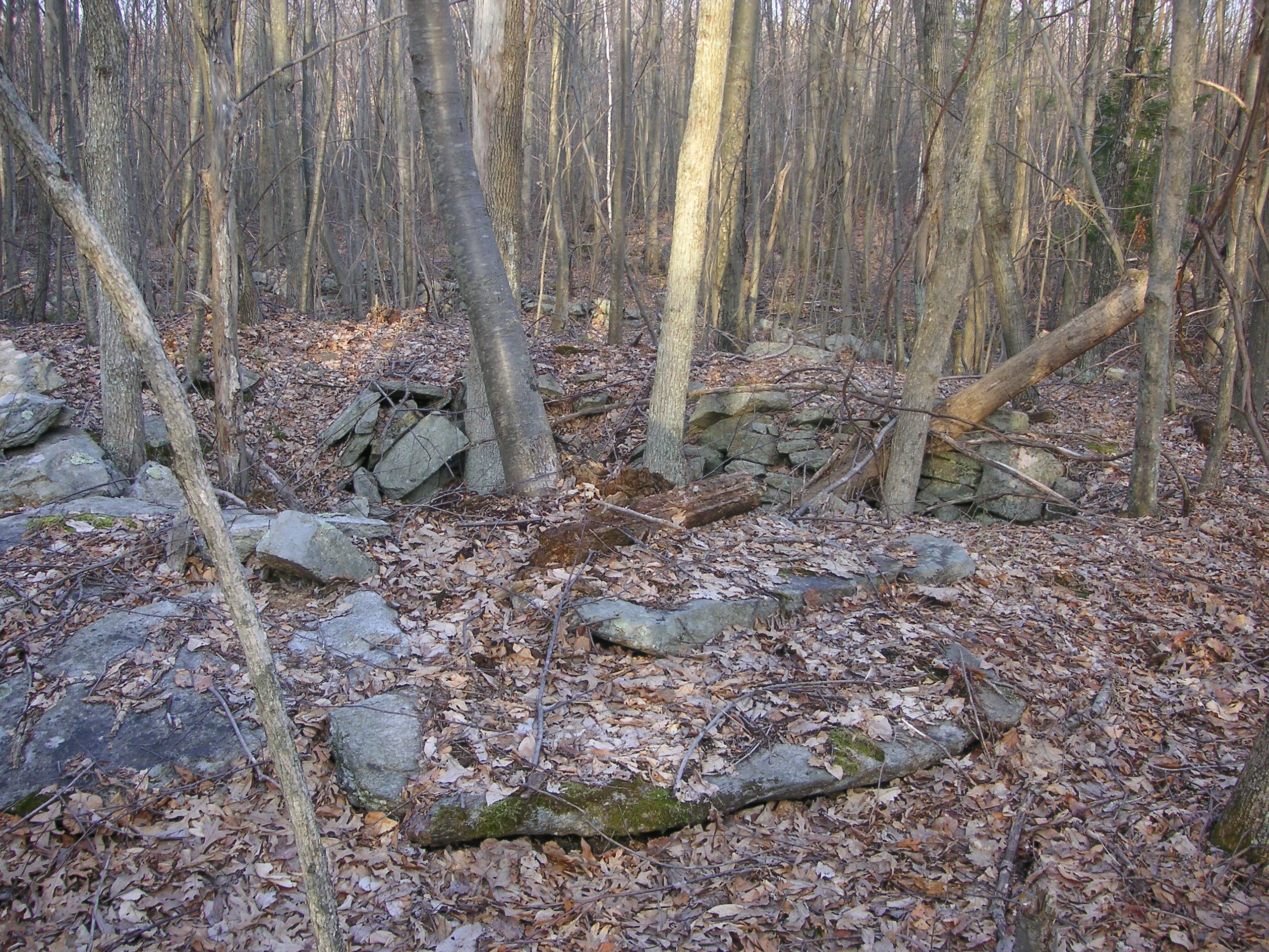
What is believed to have been the front step leading to the Manor House
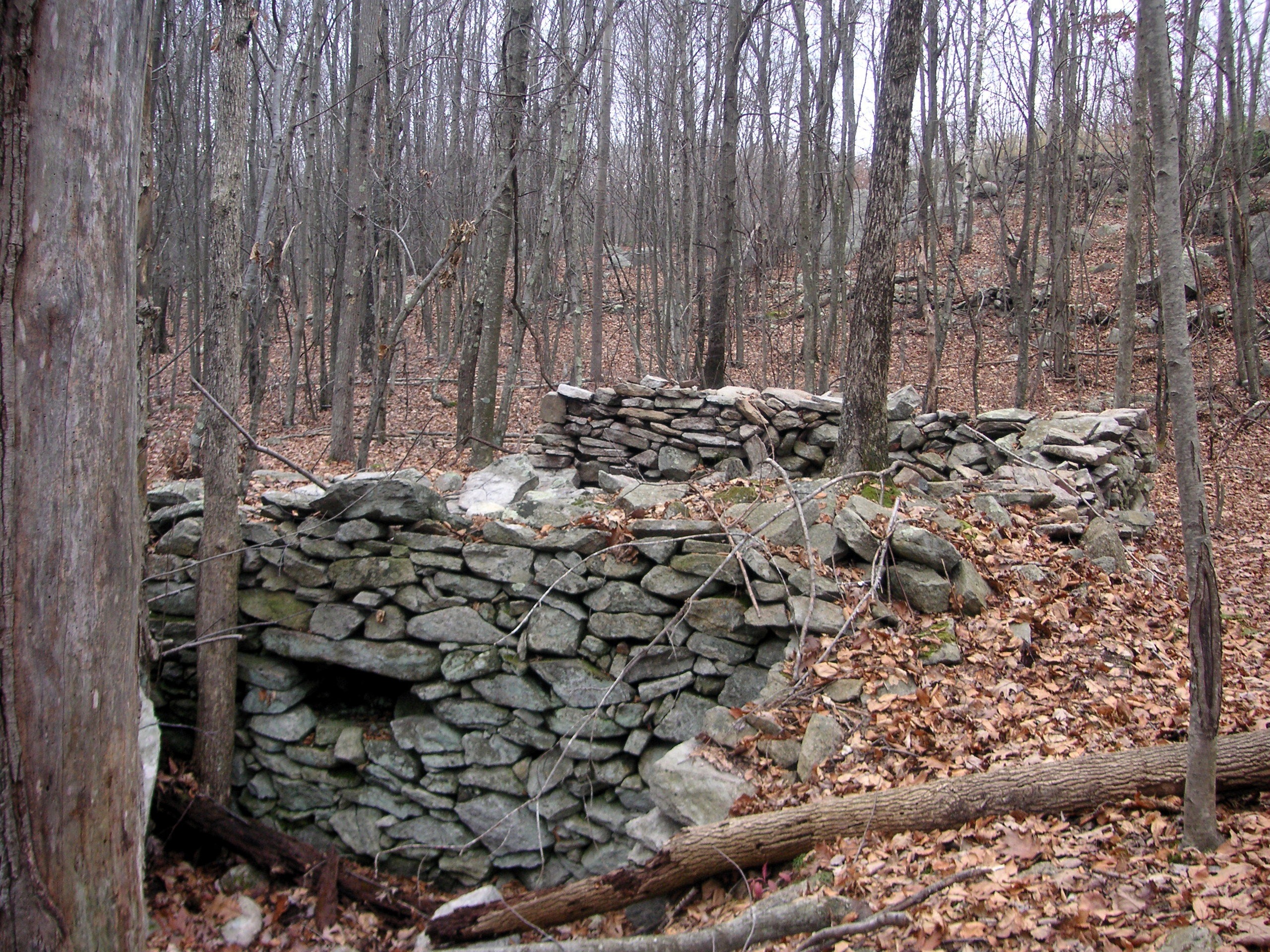
A shelf built into a stone wall which is believed to have been under the kitchen area of the house.
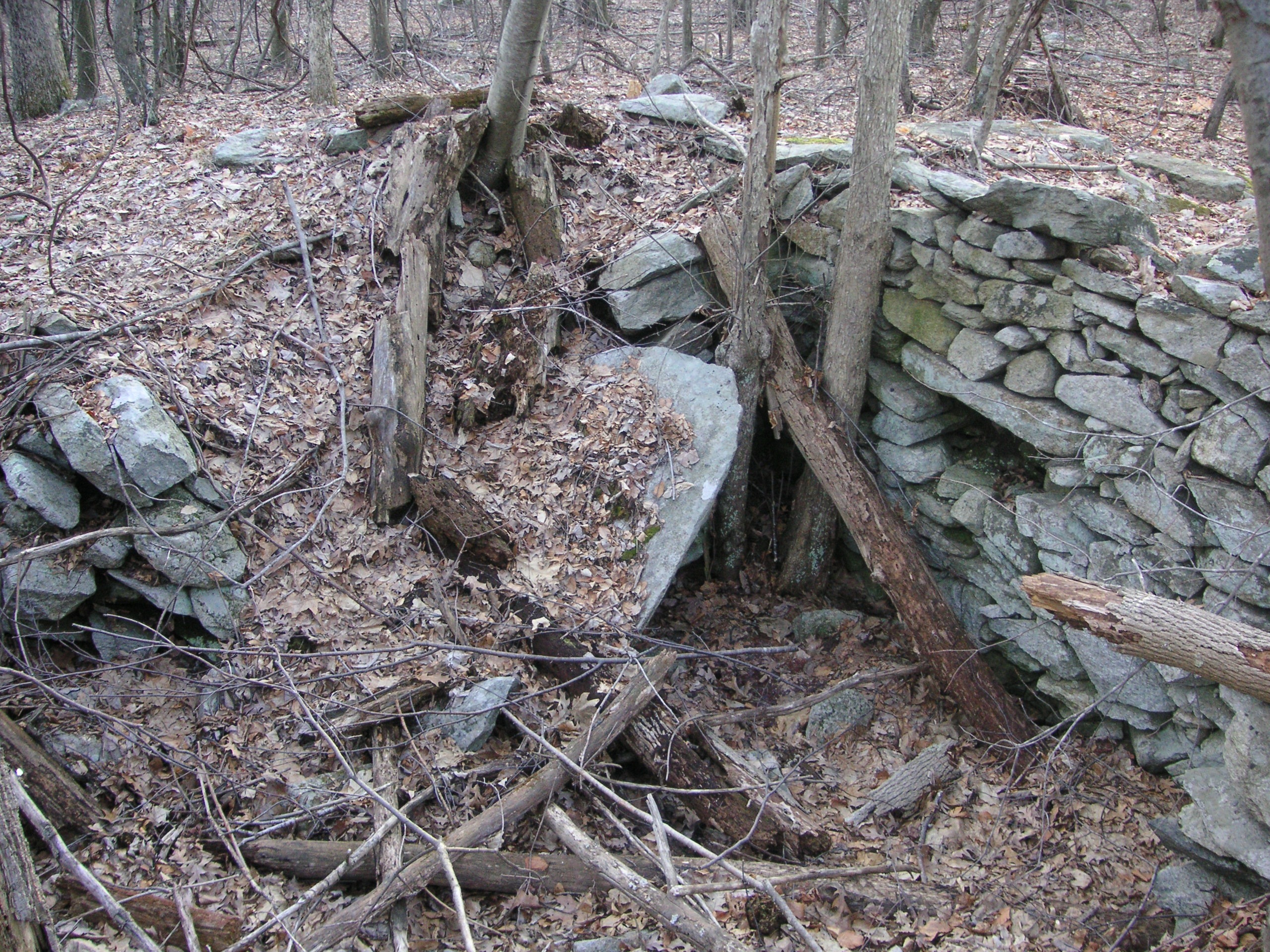
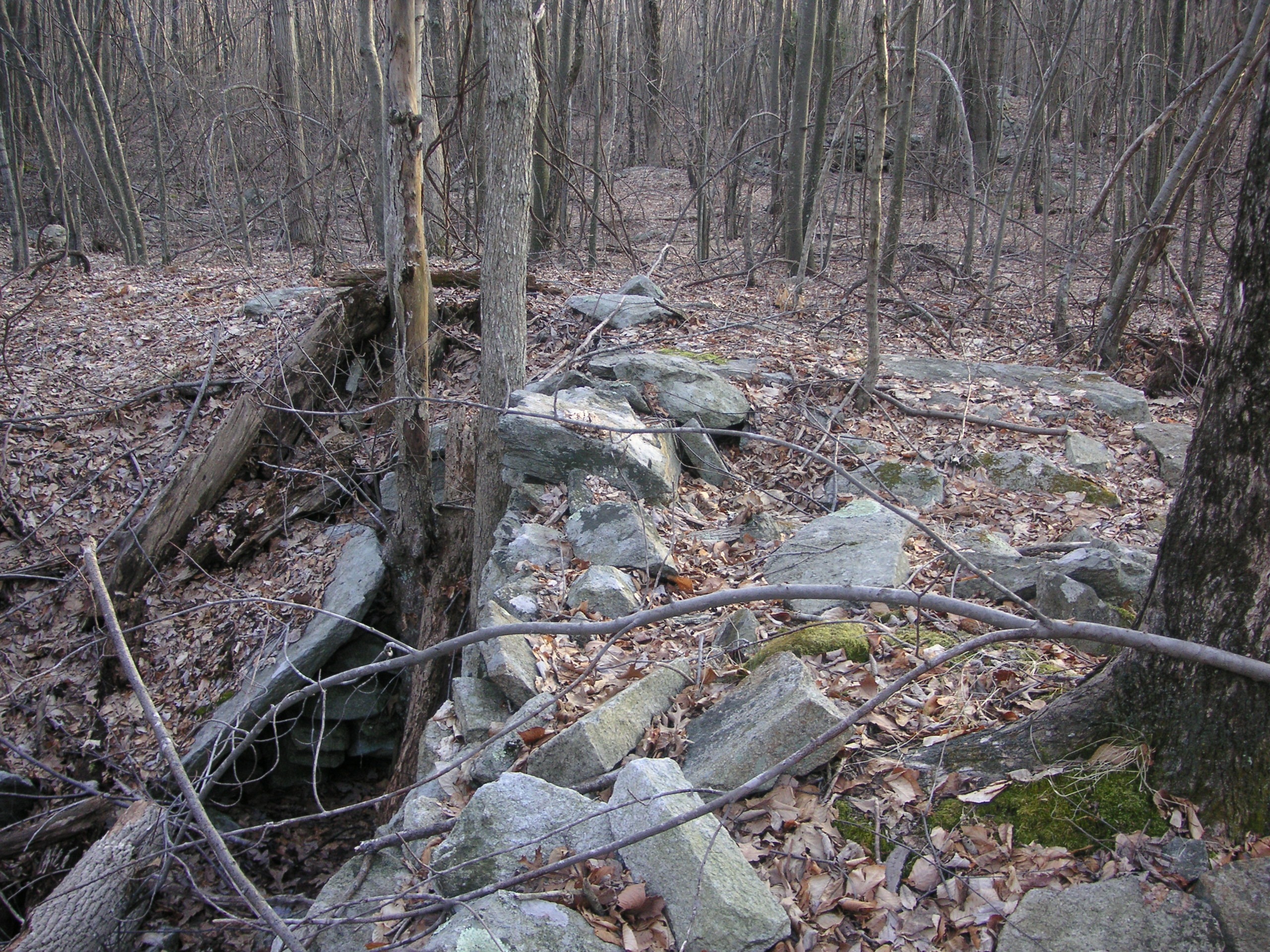
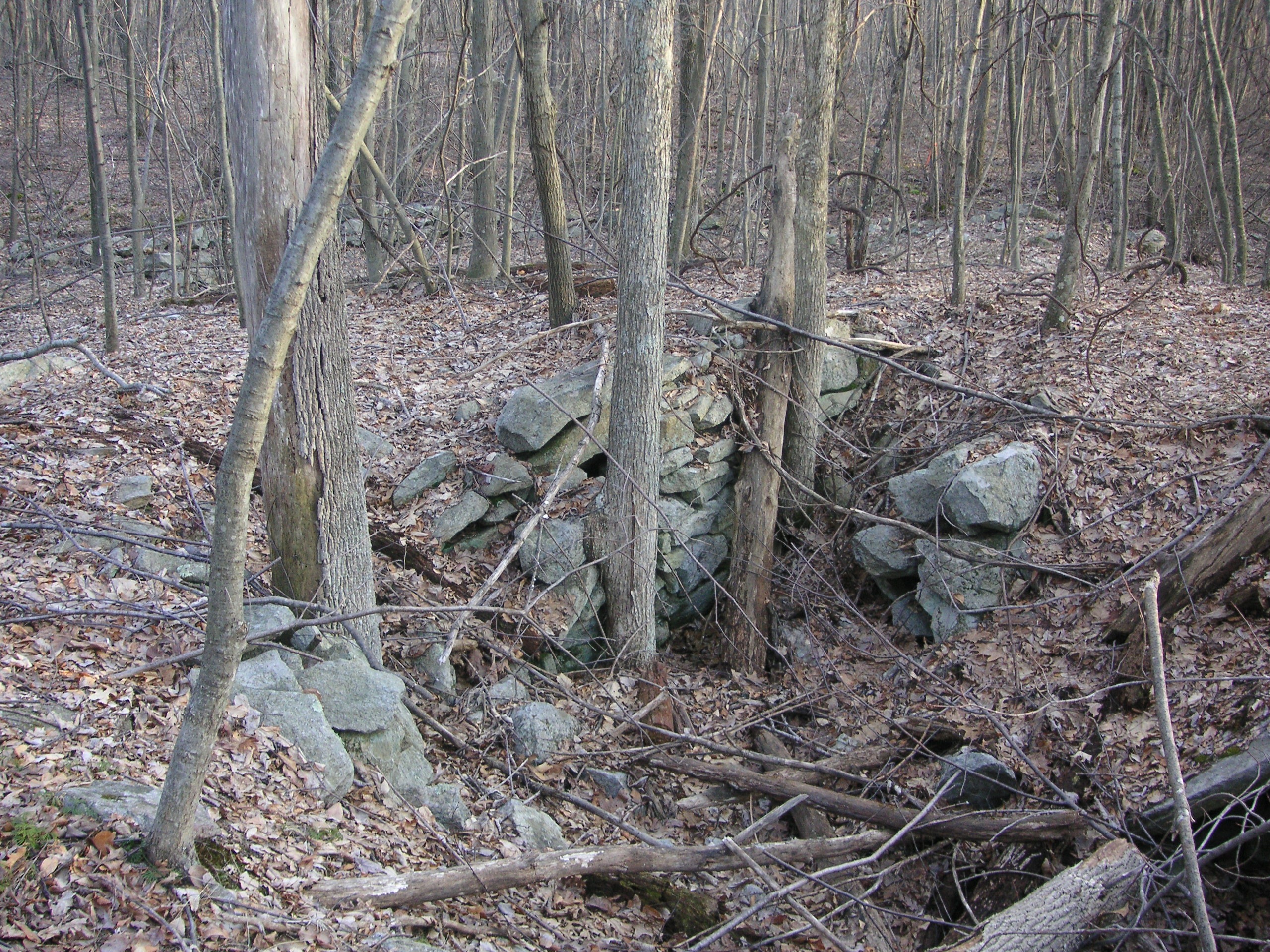
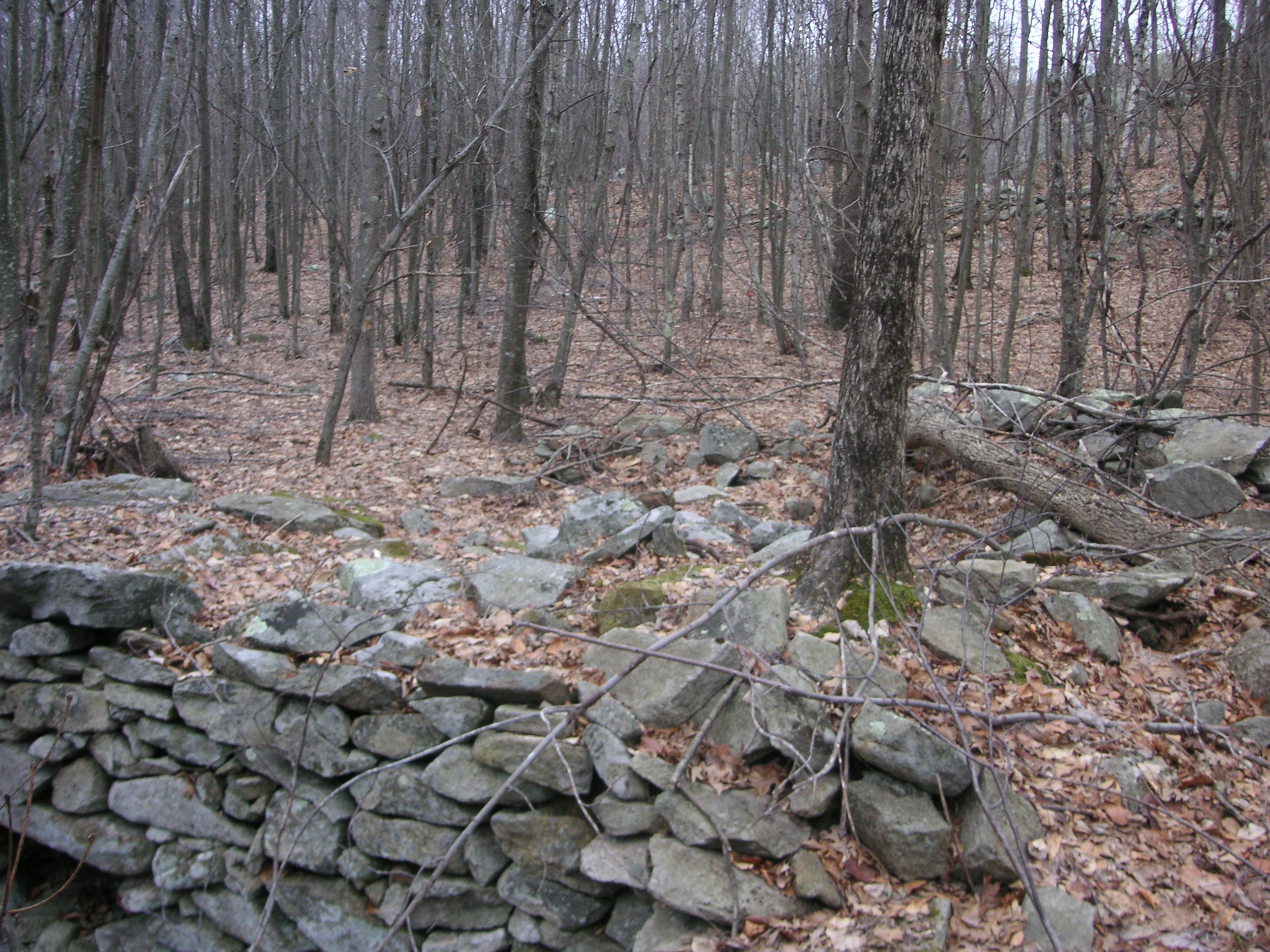
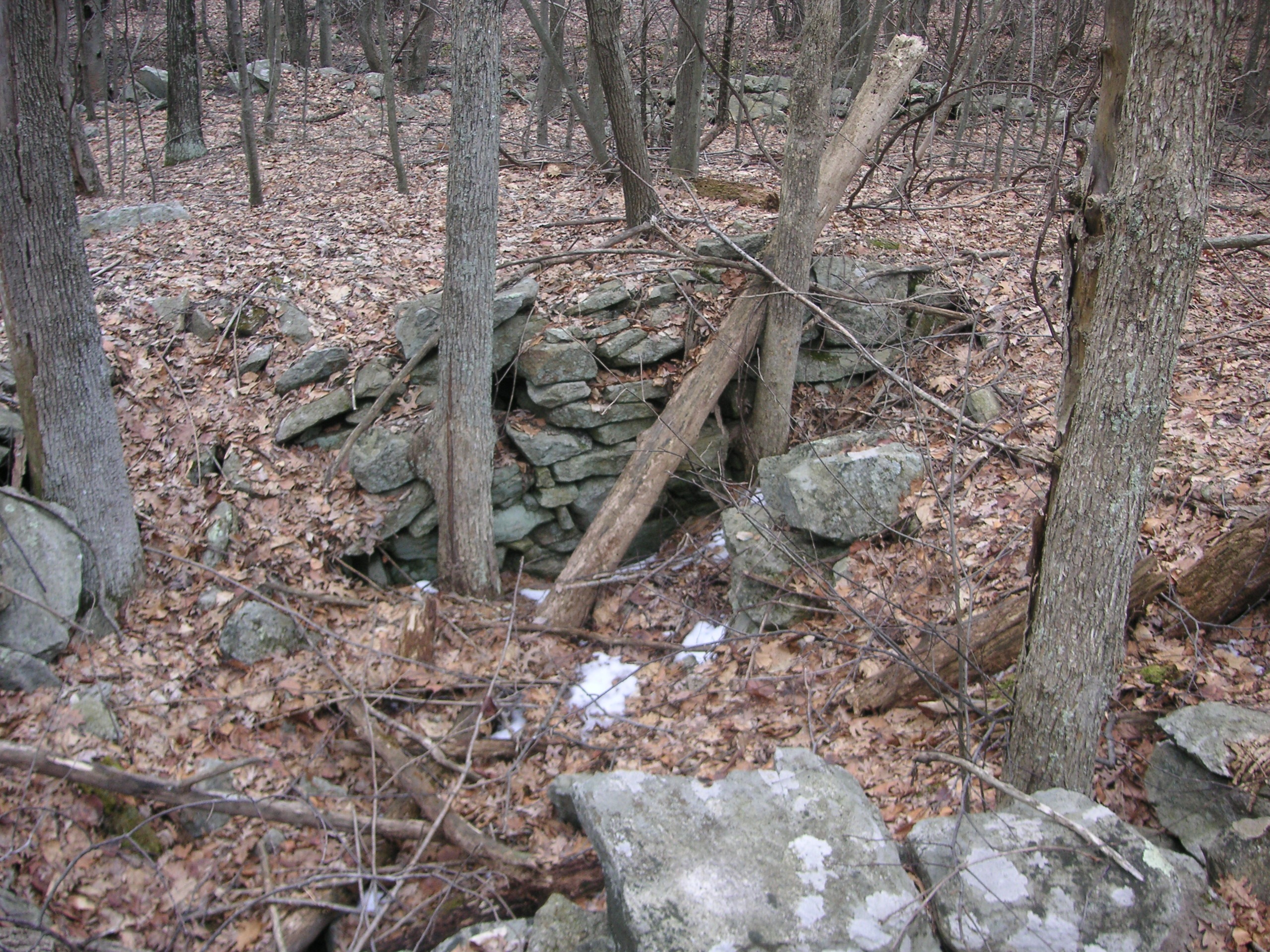
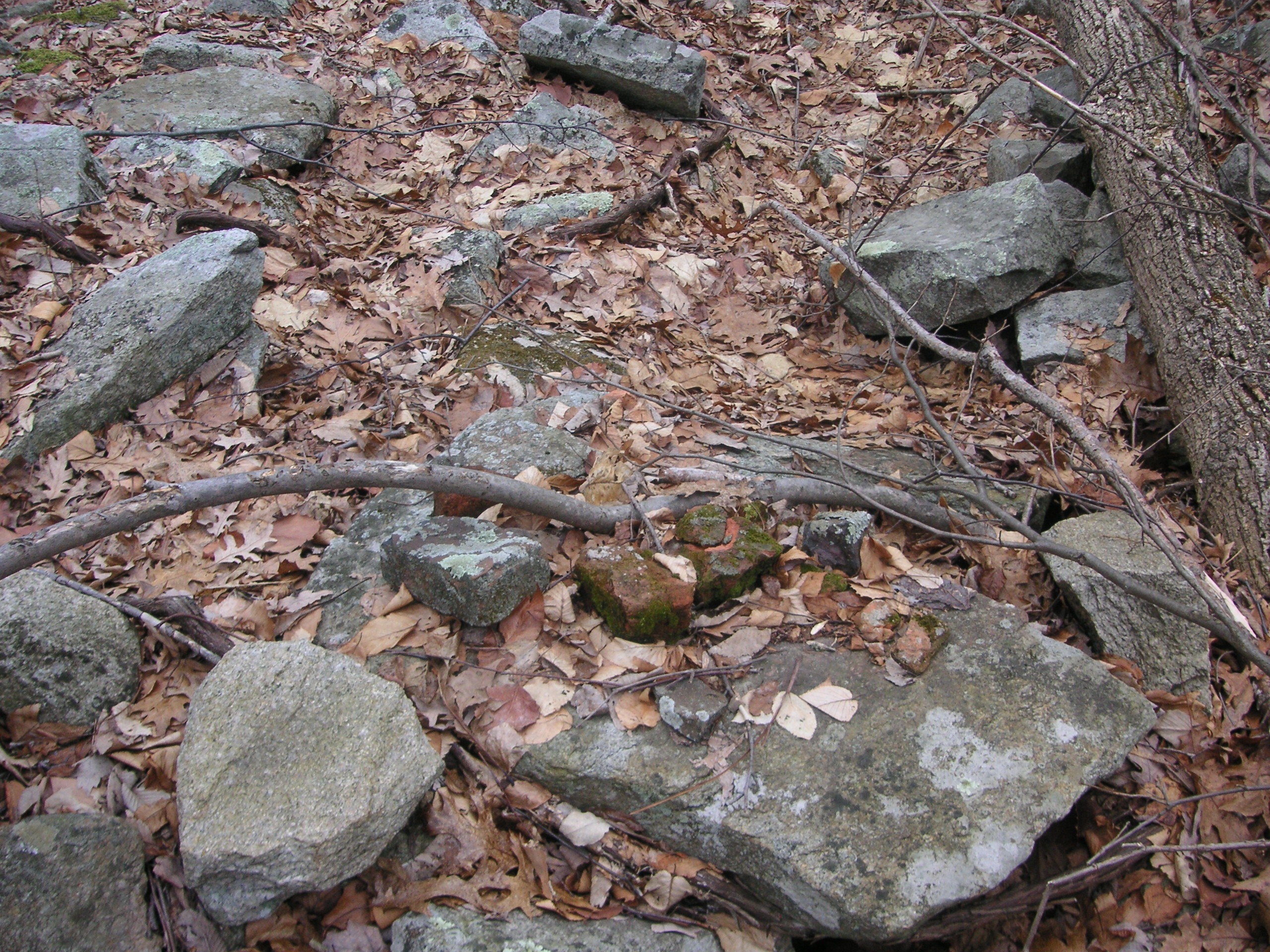
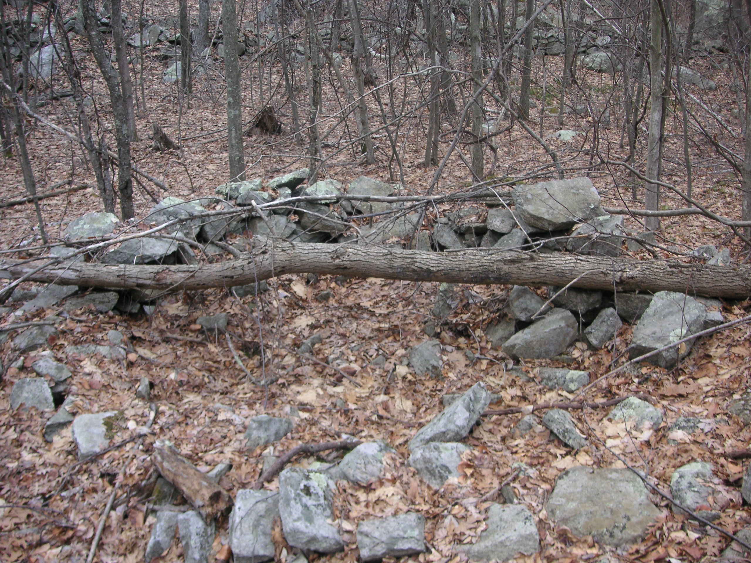
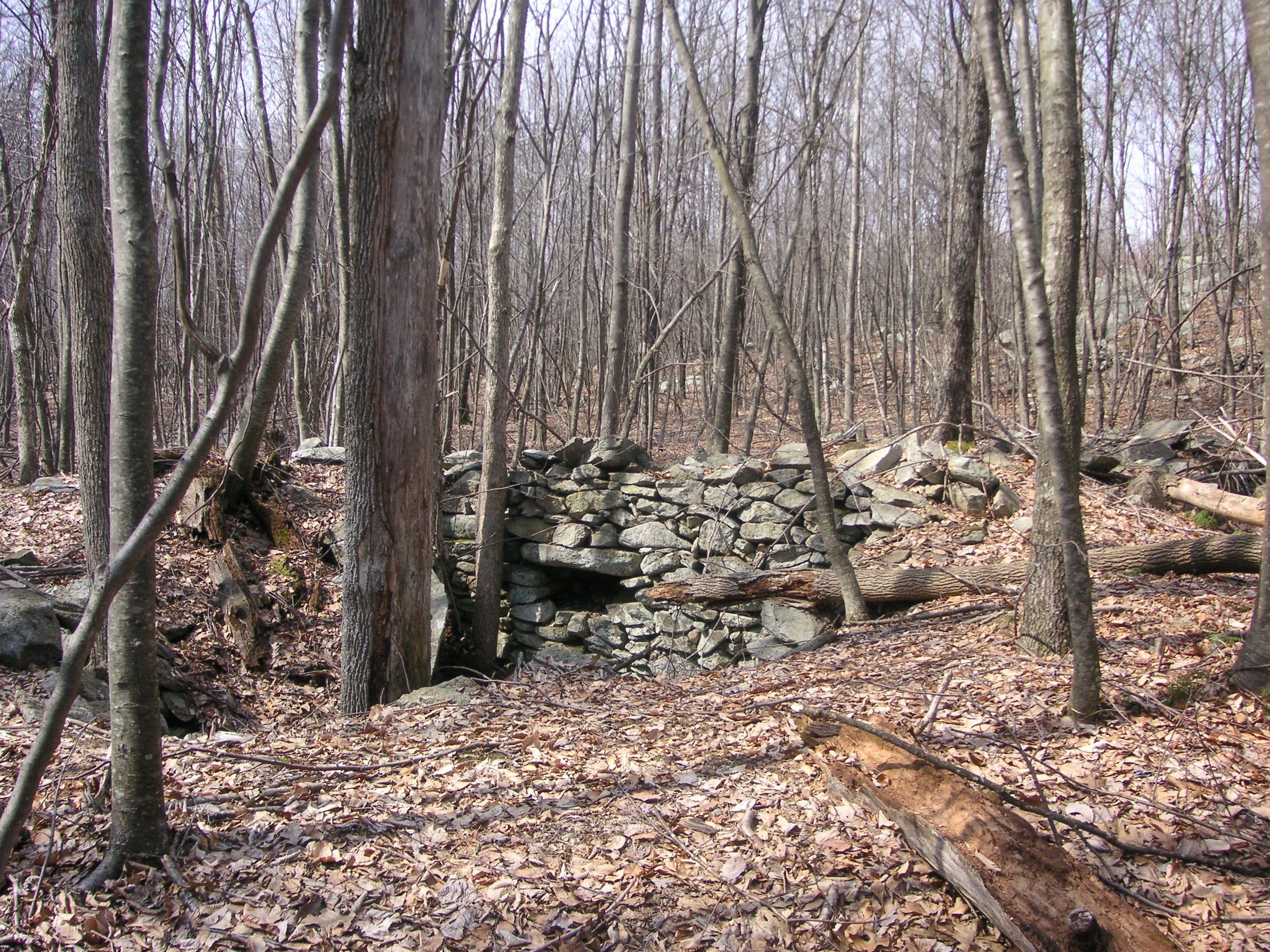
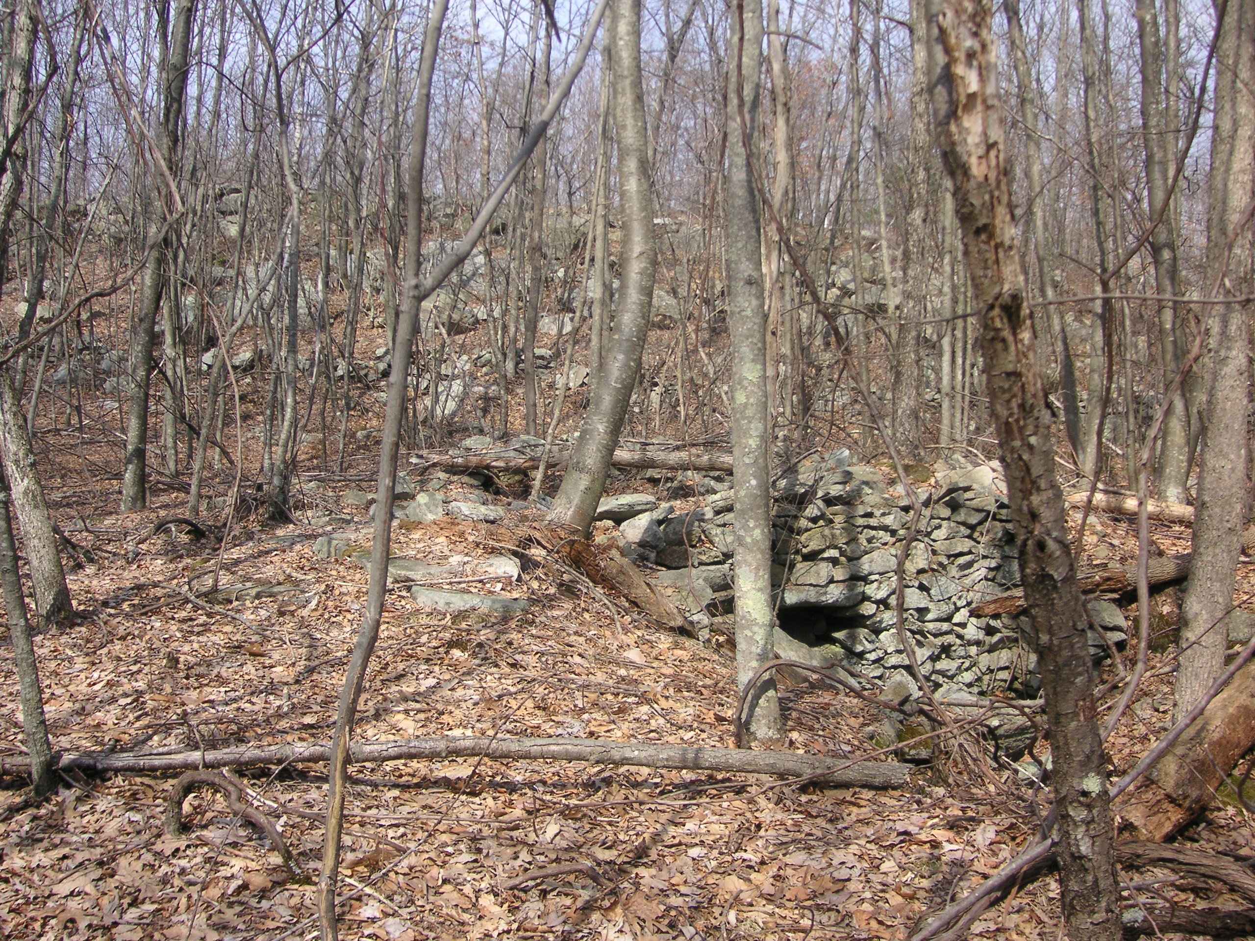
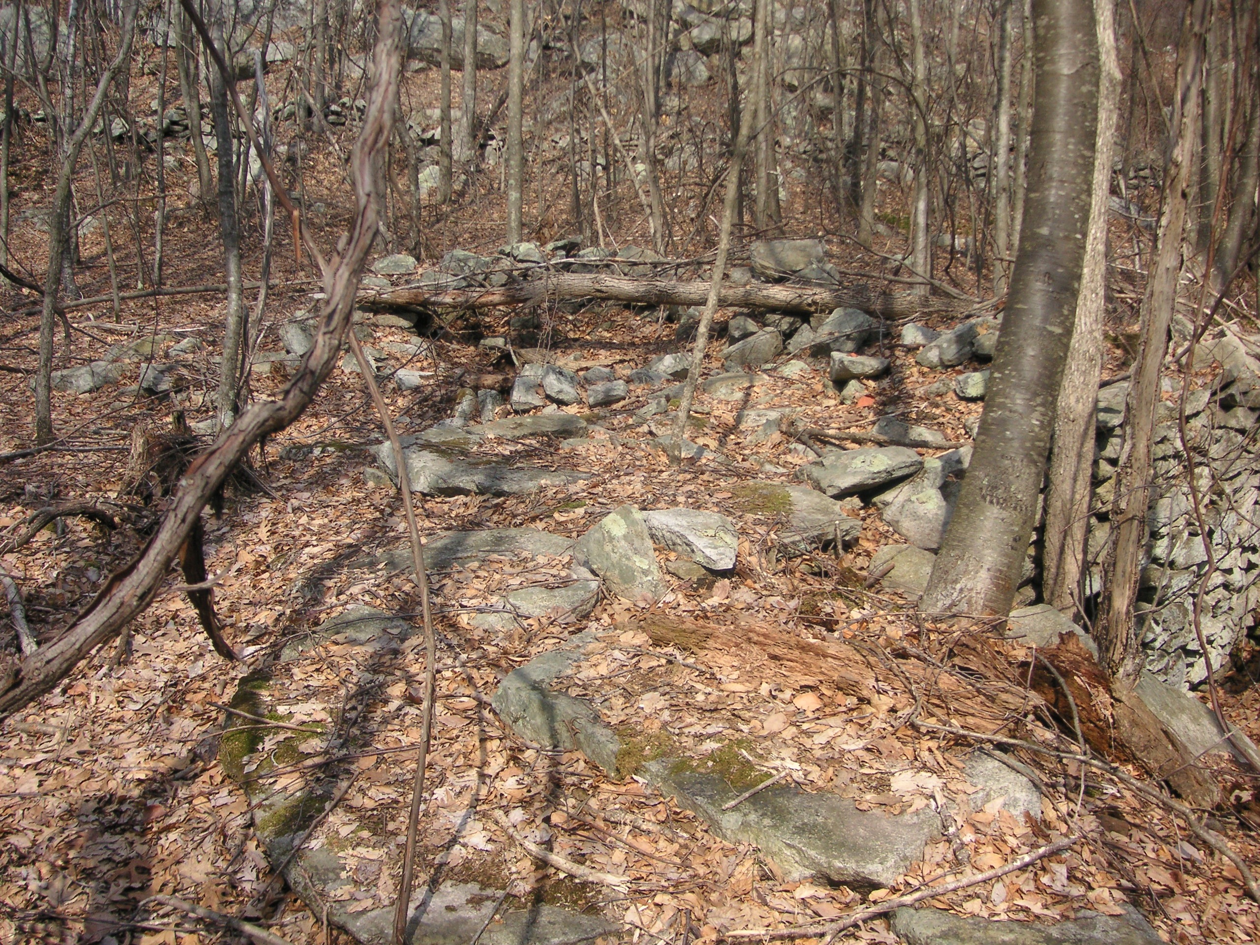
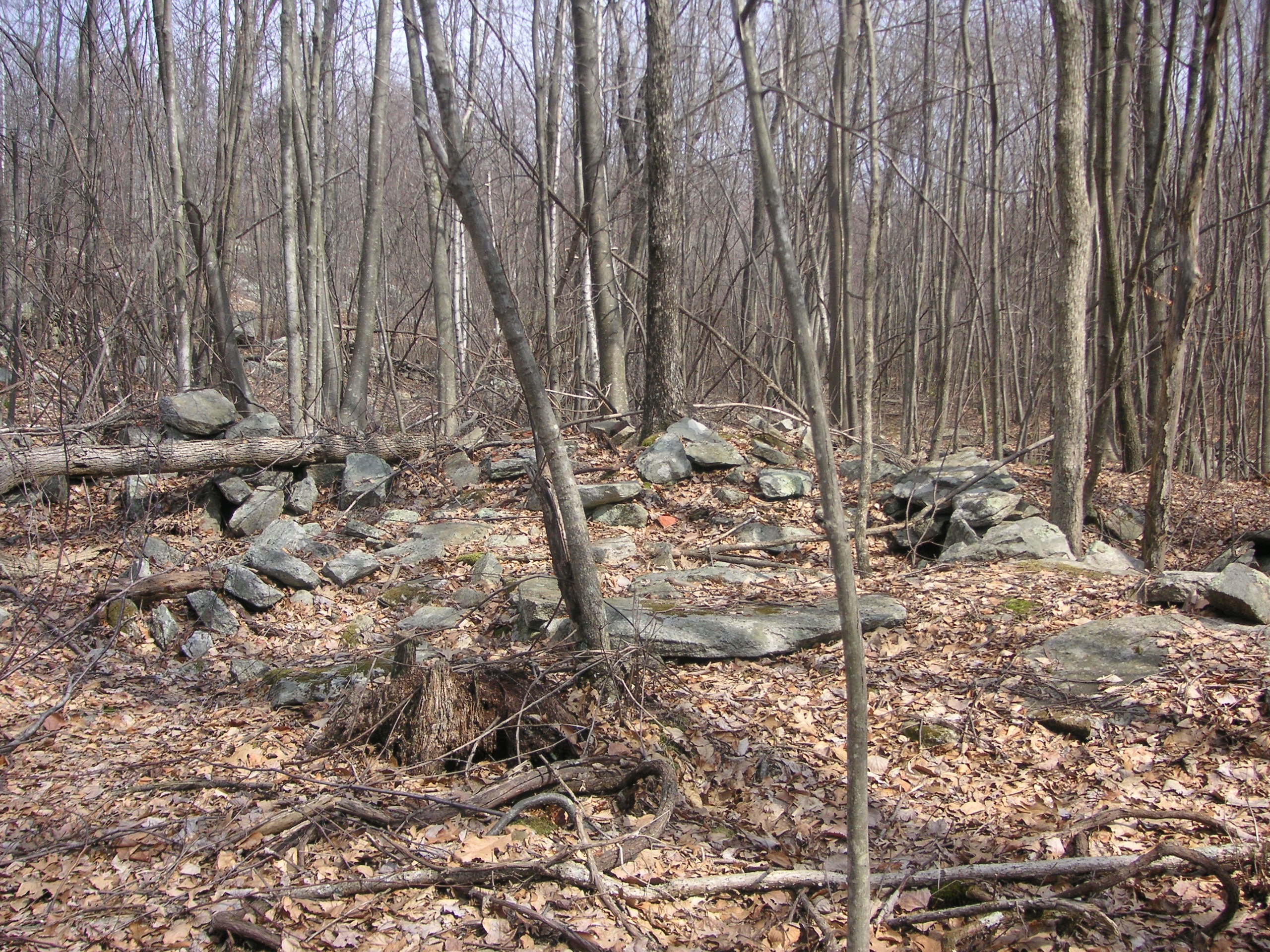
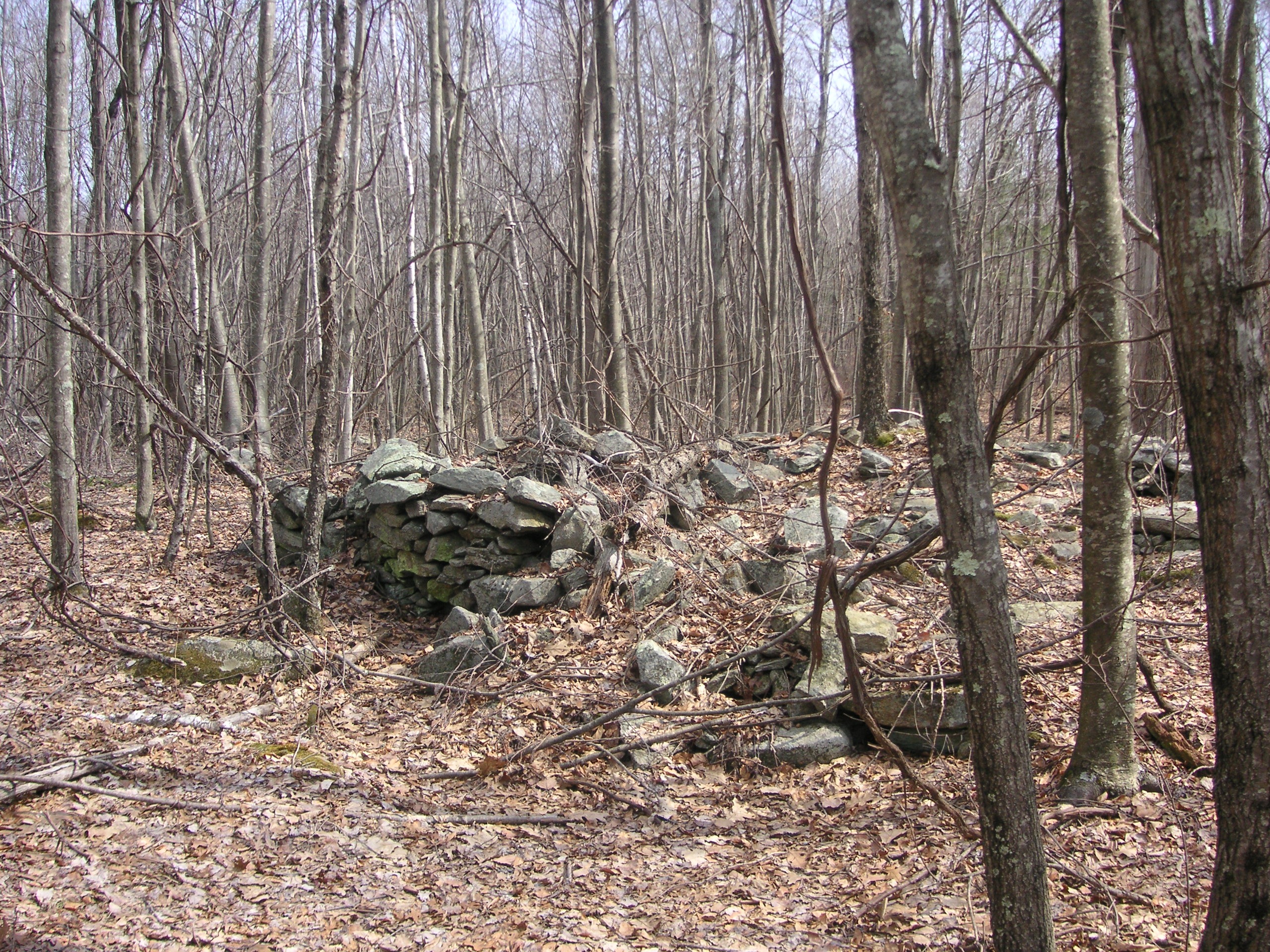
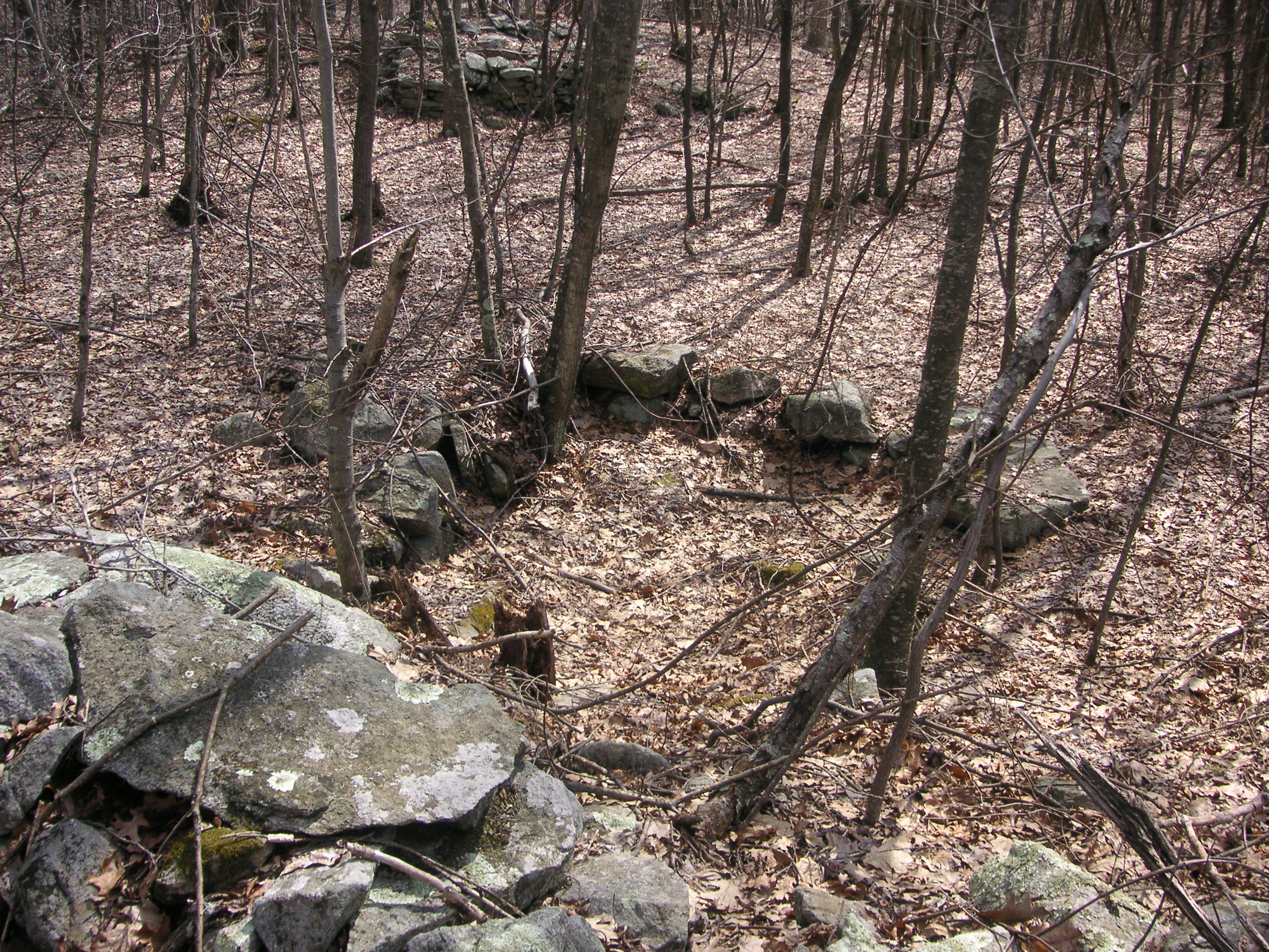
What appears to be the remains of the foundation to a building. It’s Located against the rocky hillside behind the Manor House. One can see the Manor House in the upper left – center.
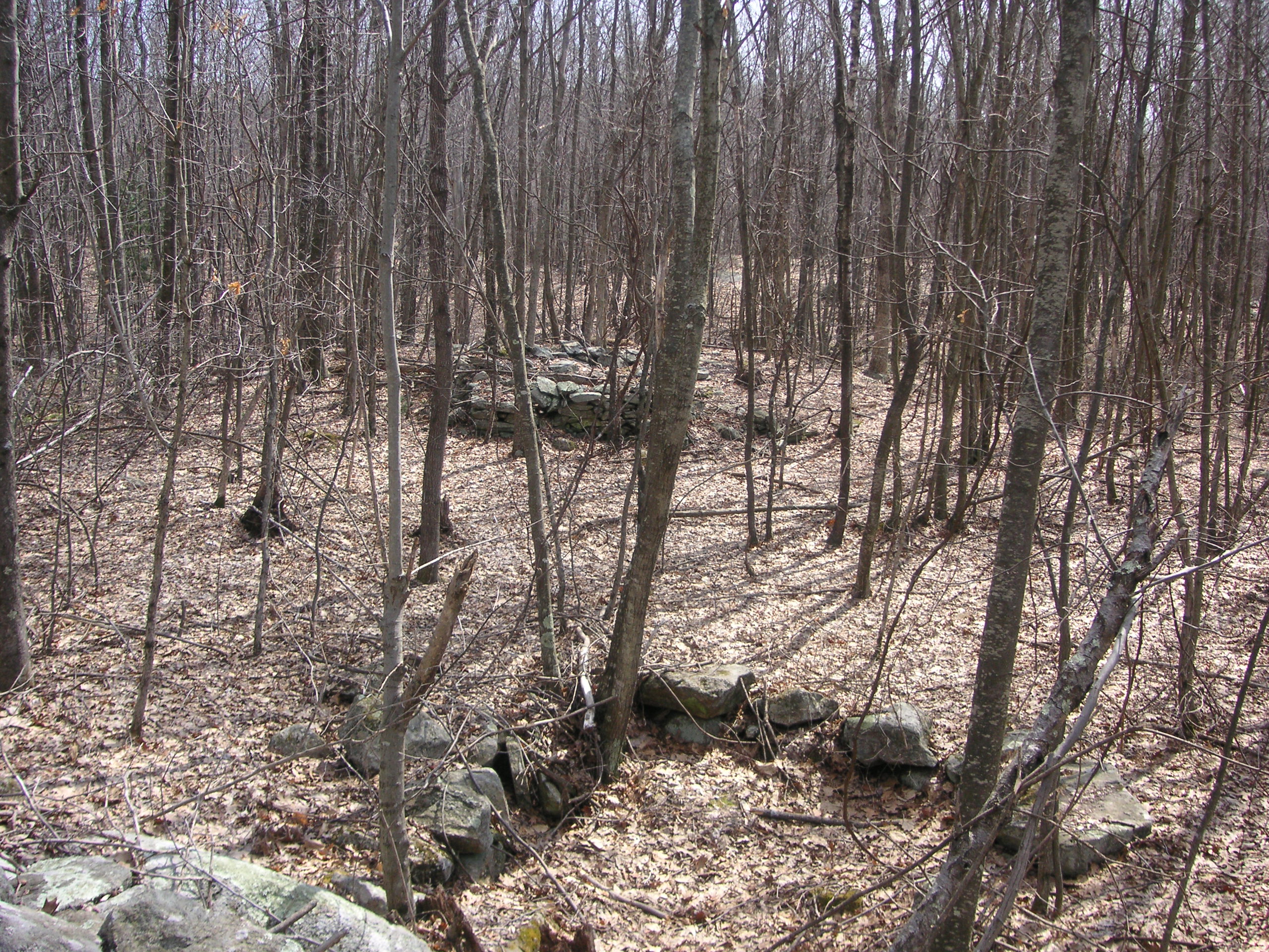
This home was most likely made of post and beam construction set on the large foundation. An excellent book that illustrates how such a home would have been constructed is “Home Building And Woodworking In Colonial America” by C. Keith Wilbur, published by The Globe Pequot Press, copyright 1992. This book shows the tools and methods of construction that would have been used by Colonial homebuilders in early America.
Mature grape vines grow around this cellar hole, possibly planted by the original owners over 200 years ago. Wild grapes can be found growing at other cellar holes in Hanton City. It’s possible they could have been a regular part of the diet of those who lived there.
The area of the Manor House site is flanked by stonewalls marking the boundaries of the fields that once comprised the farm.
I was told by a local man that the Manor House site, as well as a nearby quarry, were “gone over” by some men with metal detectors in 2002. They came back over the course of several weekends searching the site but claimed they found nothing. (If this were true, one would have to ask why they kept coming back) The man told me that one afternoon he saw a parked vehicle that he didn’t recognize and called in the registration to the Smithfield police. The police said the plate didn’t come back registered. Later, the same men with metal detectors emerged from the woods, and when informed that the police had been notified, left in a hurry and never returned.
The Clay Pipe Quarry
There is an old granite quarry located high on a hill farther east from the Manor House. I’ve named this site the Clay Pipe Quarry because I found a broken piece of a 19th Century clay tobacco pipe evidently discarded by a long ago worker.
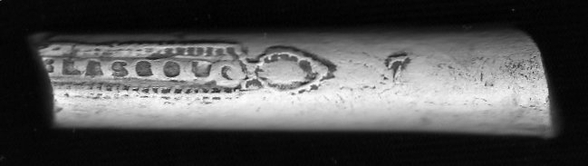
One side of the piece of clay pipe found at the quarry.
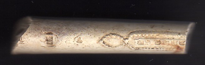
The opposite side of the piece of clay pipe.
The piece of clay pipe found at the quarry measures 2 inches long and is marked “McDougal”, and “Glasco” (Scotland), and dates between 1846 at 1888.
The quarry has the appearance that it was hastily abandoned as large cut stones still lie in the pit as if they are awaiting an ox team to carry them away.
Click on images to enlarge.
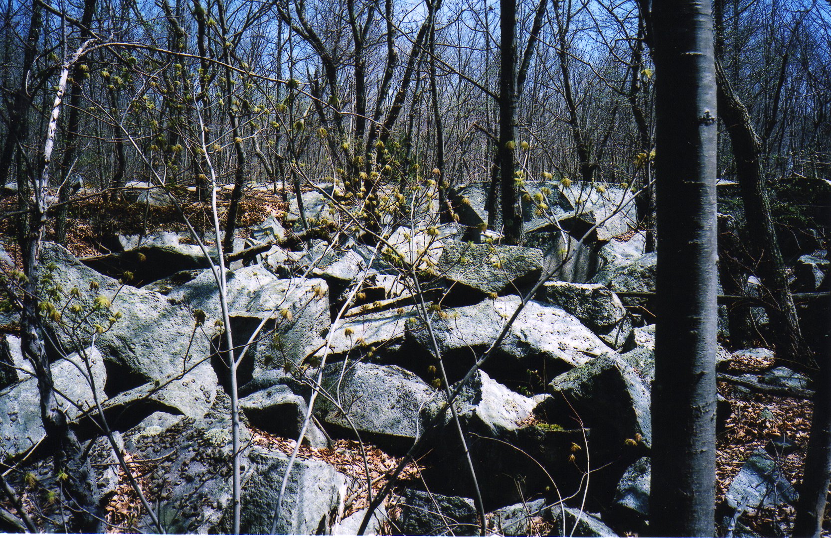
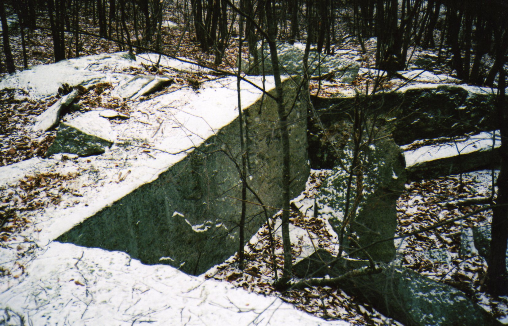
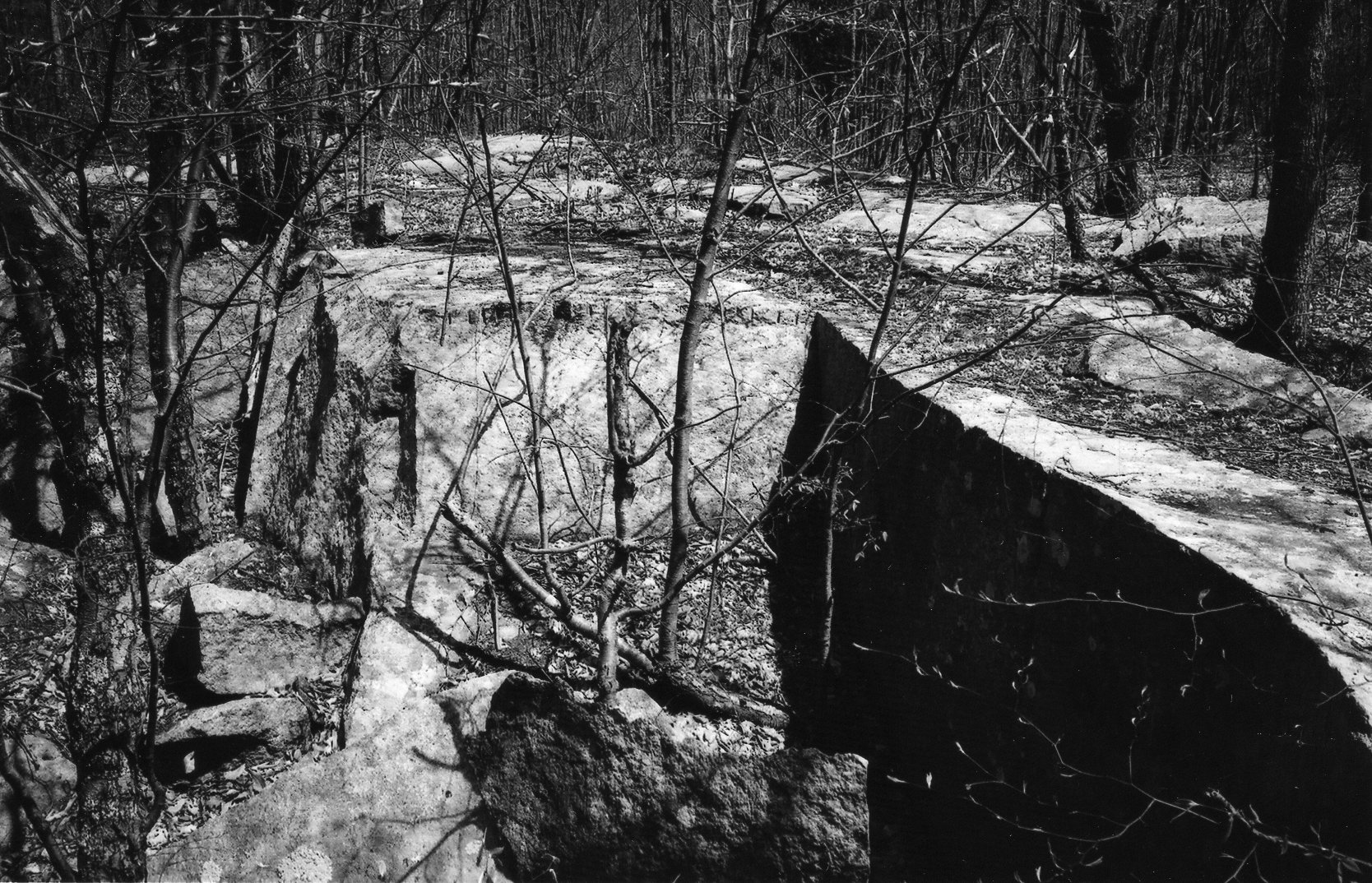
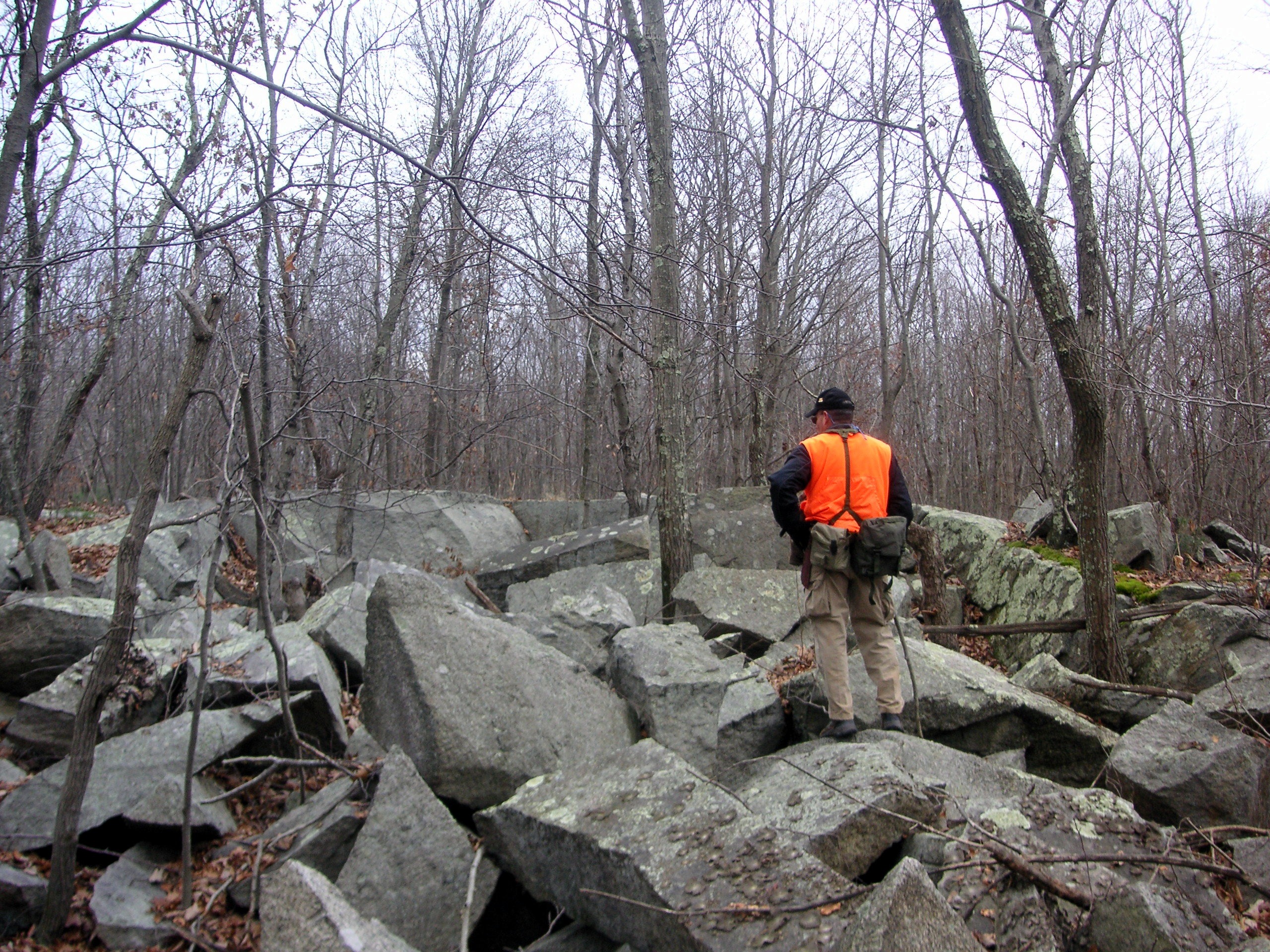
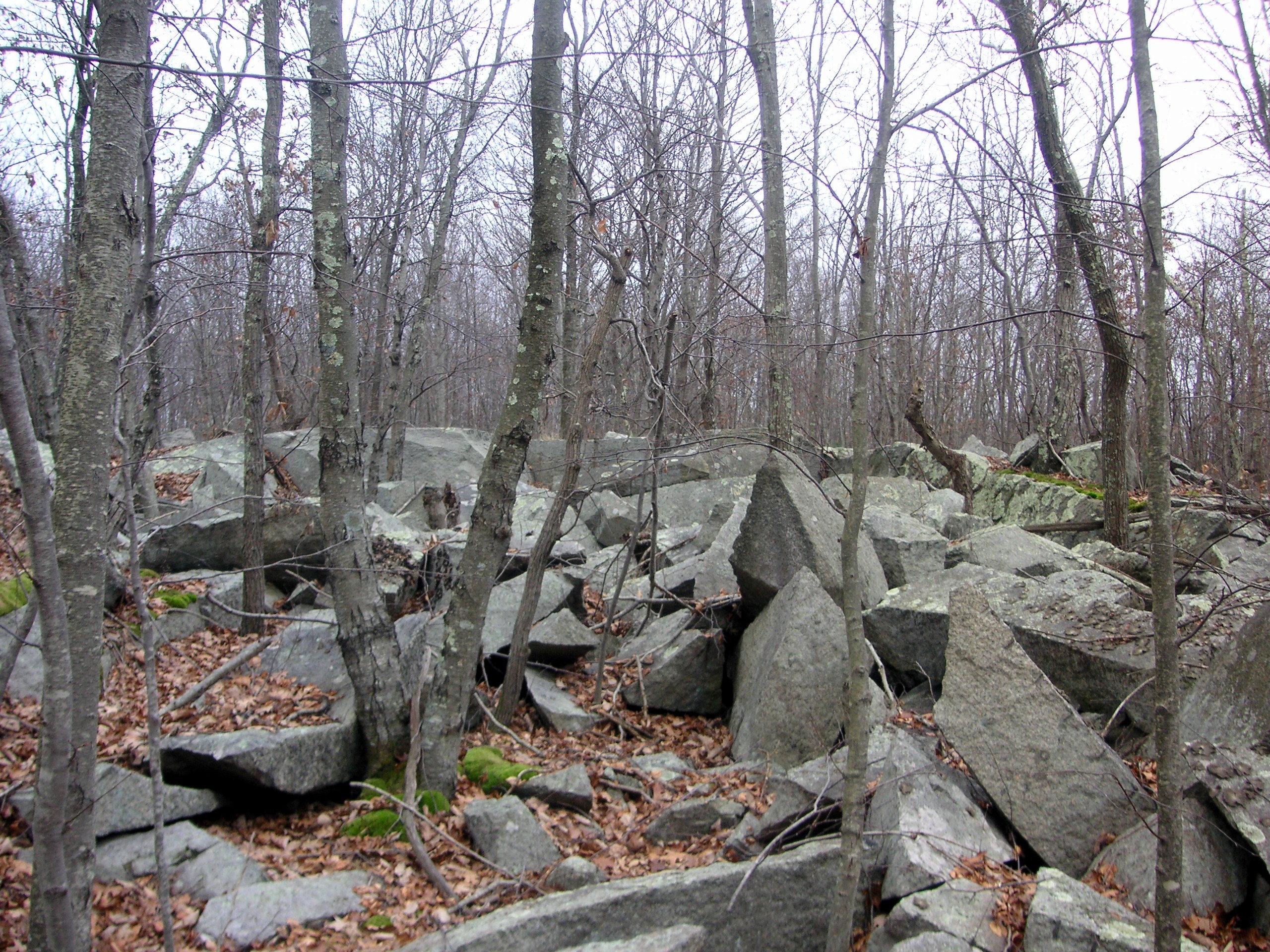
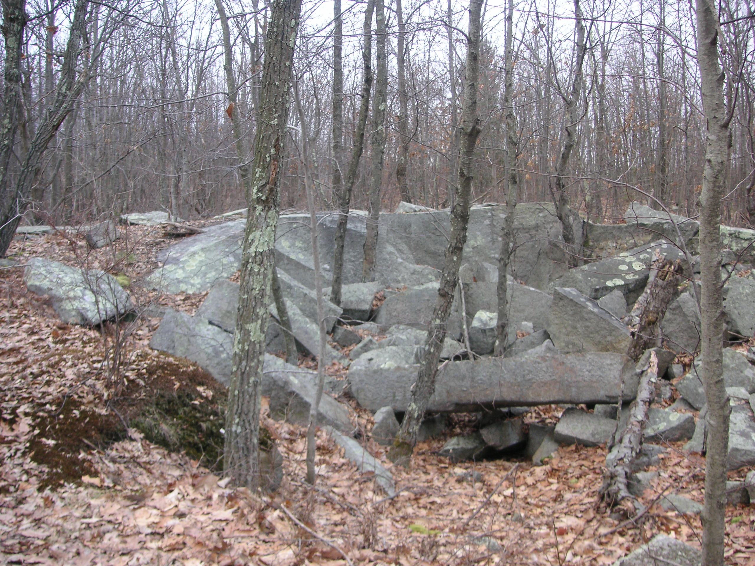
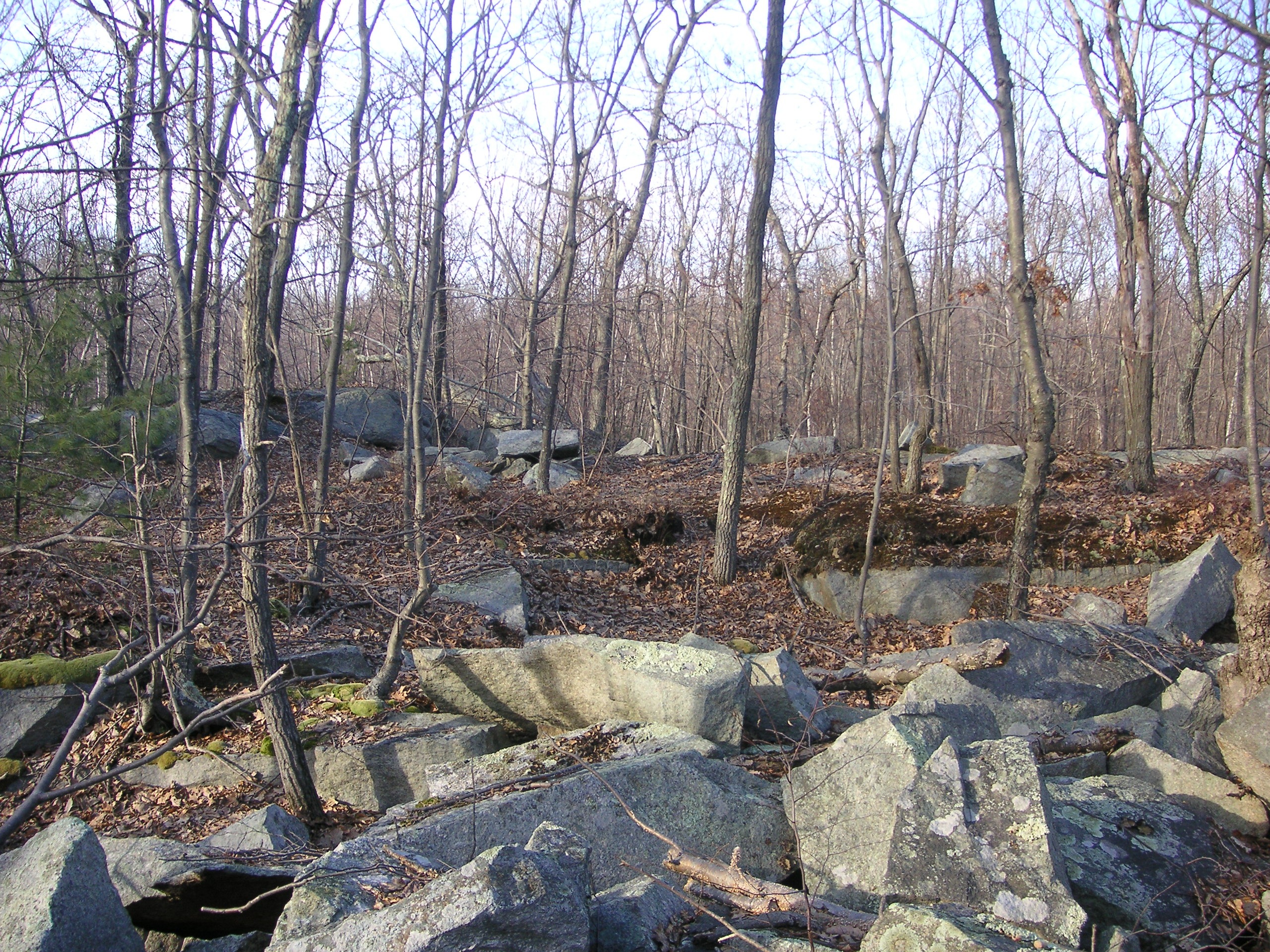
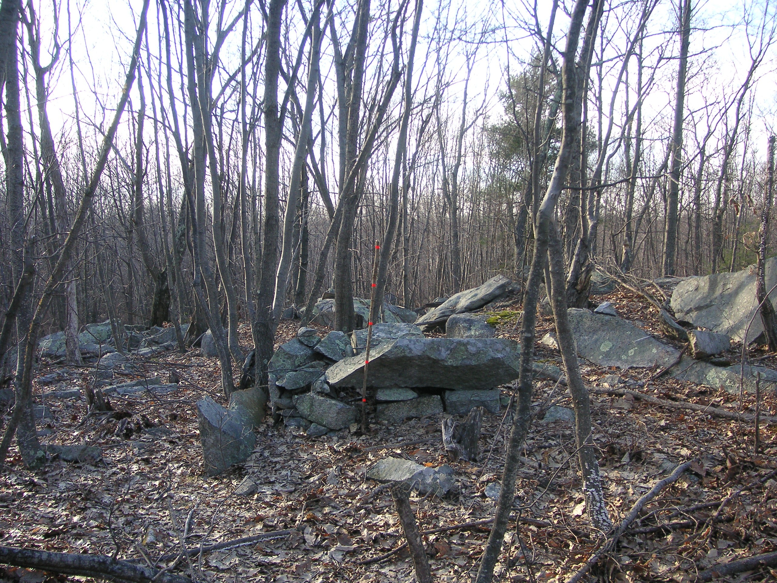
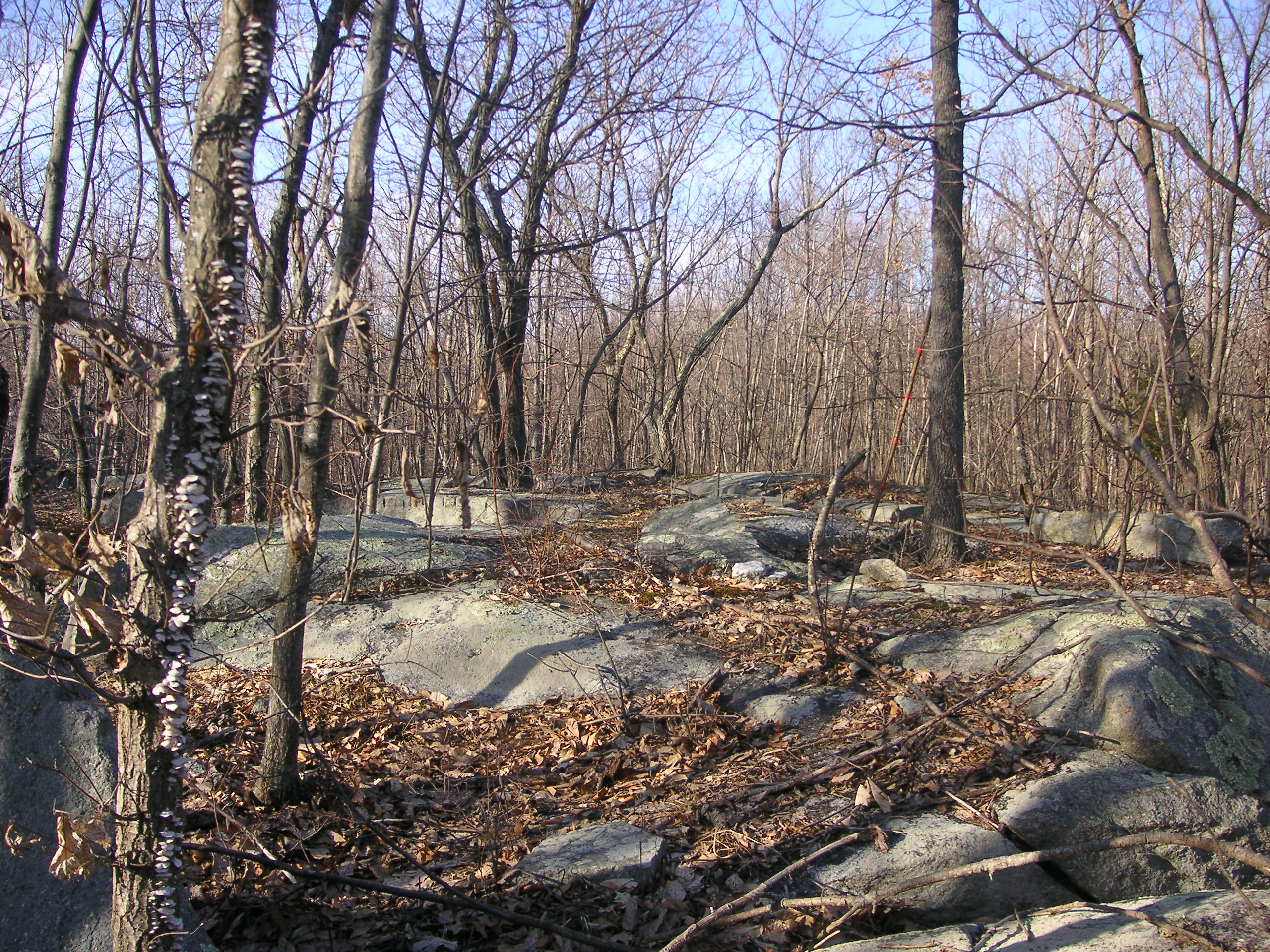
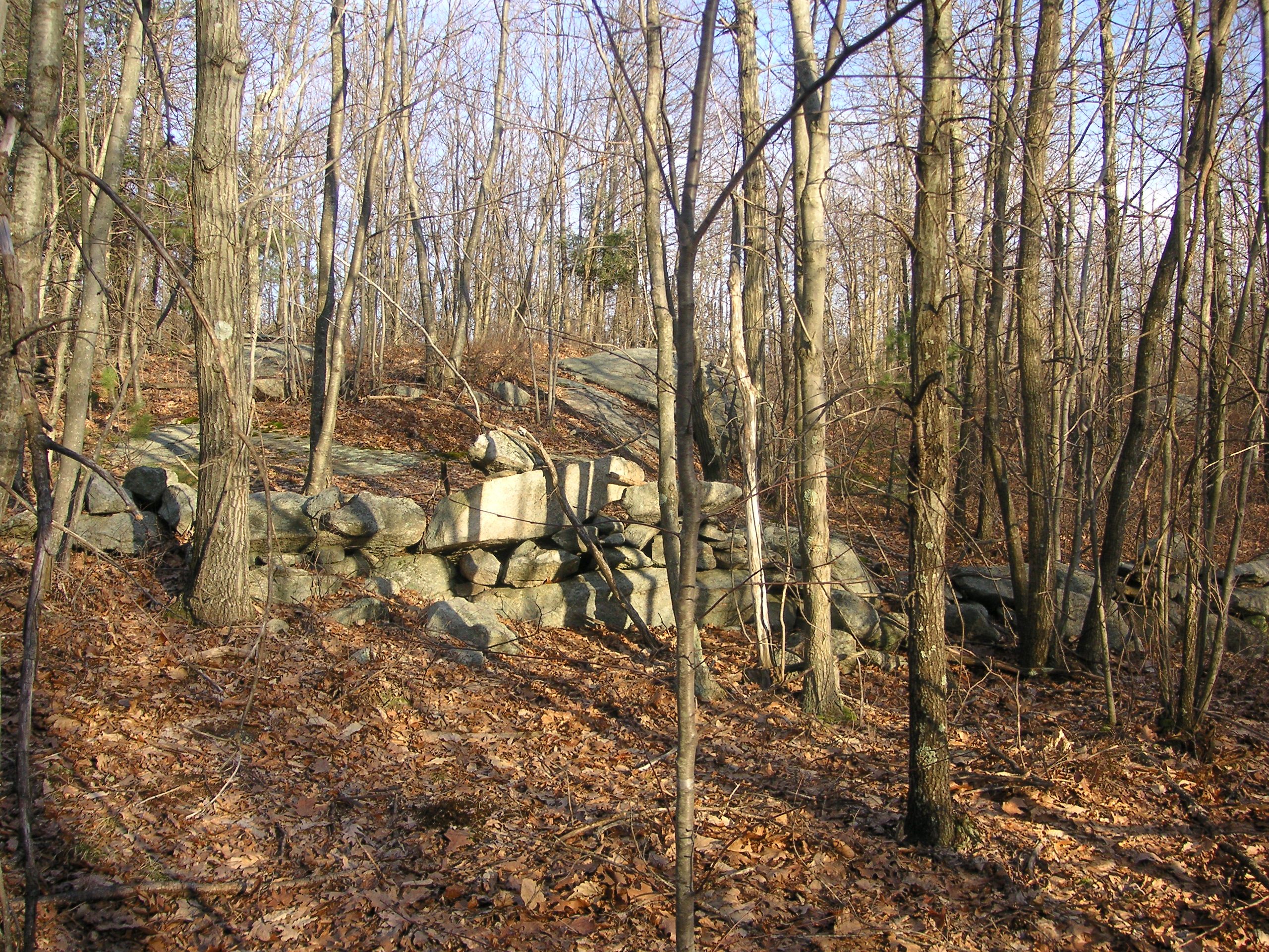
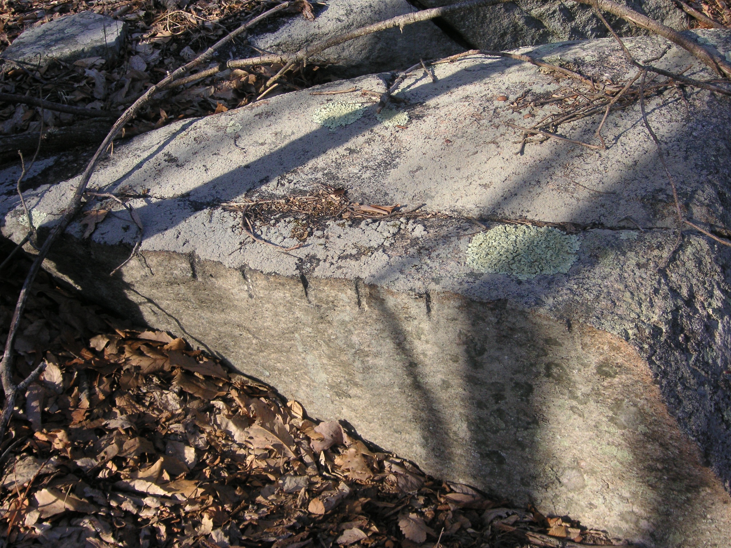
The rocks still bear the drill holes made when they were cut from the hillside.
One can still see the drilling holes made by hand to split the rock on some of the stones.
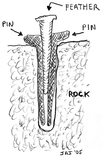 These stones were quarried using the “pin and feather” method. One worker would hold a “star drill” while another worker would strike it with a sledge hammer. As the hammer was being raised for another blow, the worker holding the drill would rotate it about a quarter of an inch. When enough holes had been drilled, “pins and feathers” would be inserted and then struck with hammers to cut the rock.
There’s a stone structure at the Clay Pipe Quarry which is in partial ruin and at first glance can be taken for a well. Close examination seems to indicate that it was used to support something like the pole to a derrick that would have been used to lift and swing stone onto ox carts. Three stones were cut to form a circle at the top of this small structure.
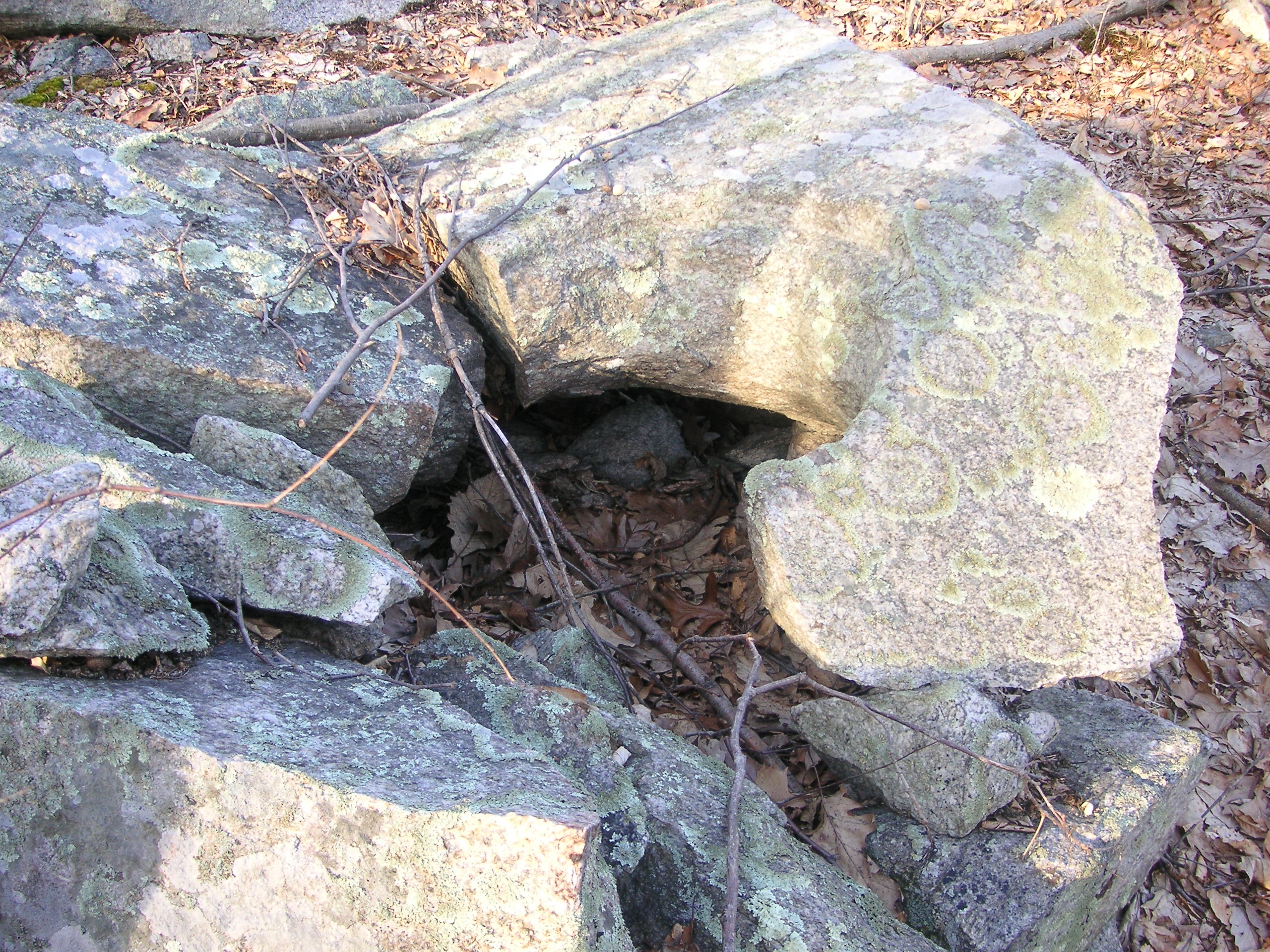
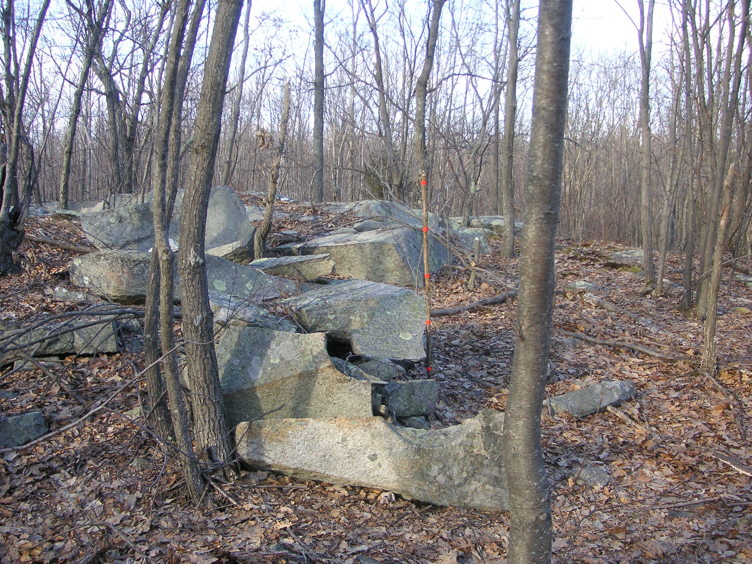
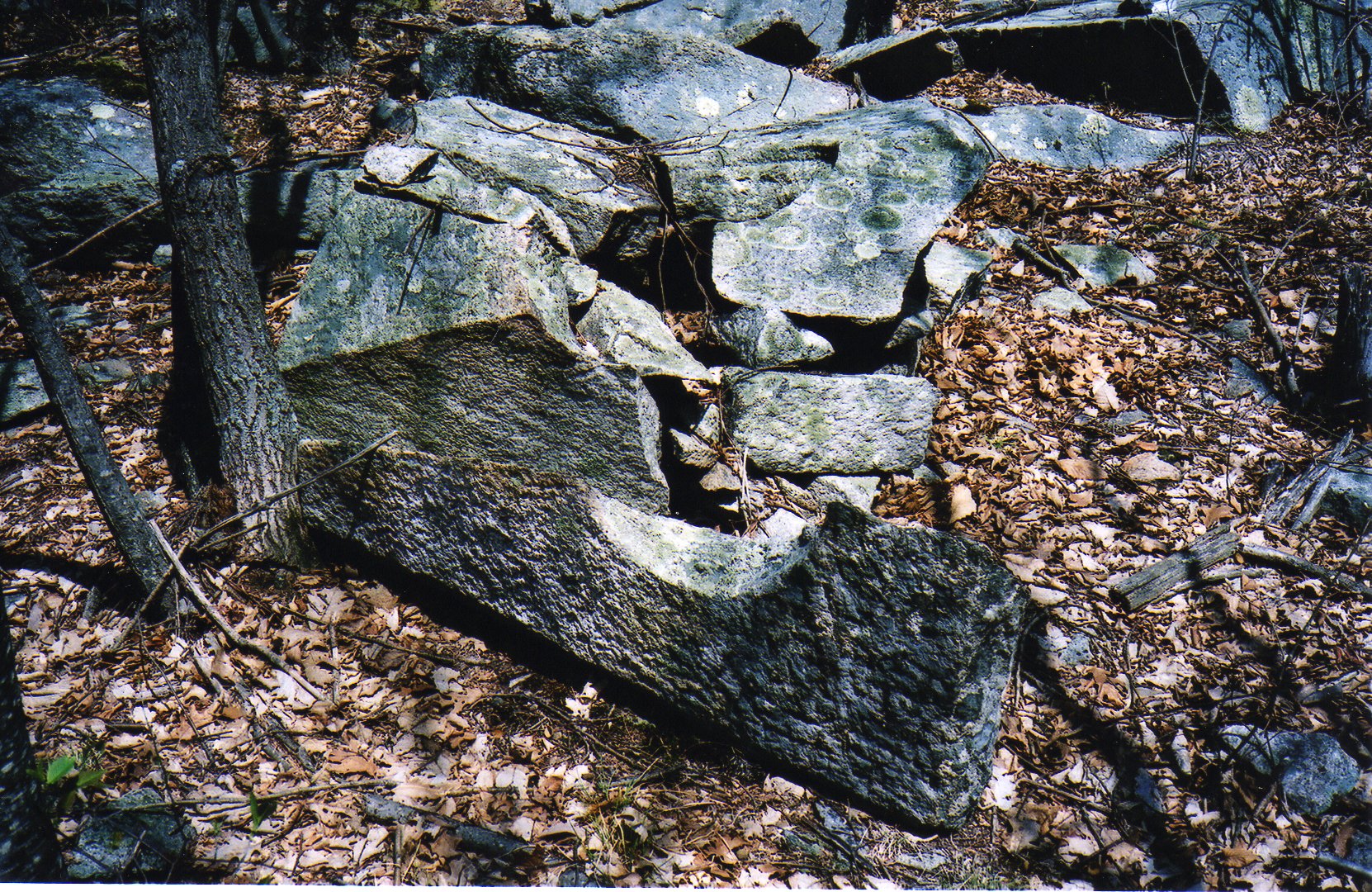
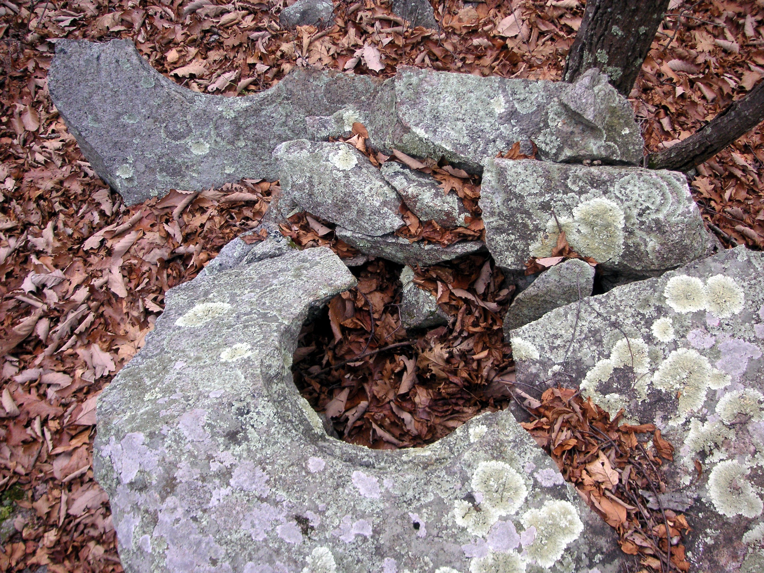
It required a lot of work and skill with stone cutting to make this structure.
It’s been said that many stone foundations for homes and buildings, as well as cobble stones used to line streets, were cut from quarries in Hanton City and other northern Rhode Island communities.
The Quarry Master’s House
A few feet eastward from the Clay Pipe Quarry, across what was once an old trail, are the remains of another cellar hole that I’ve named the Quarry Master’s House since it seems possible that this was where whoever ran the quarry lived or worked. This cellar hole is full of water which indicates a high water table.
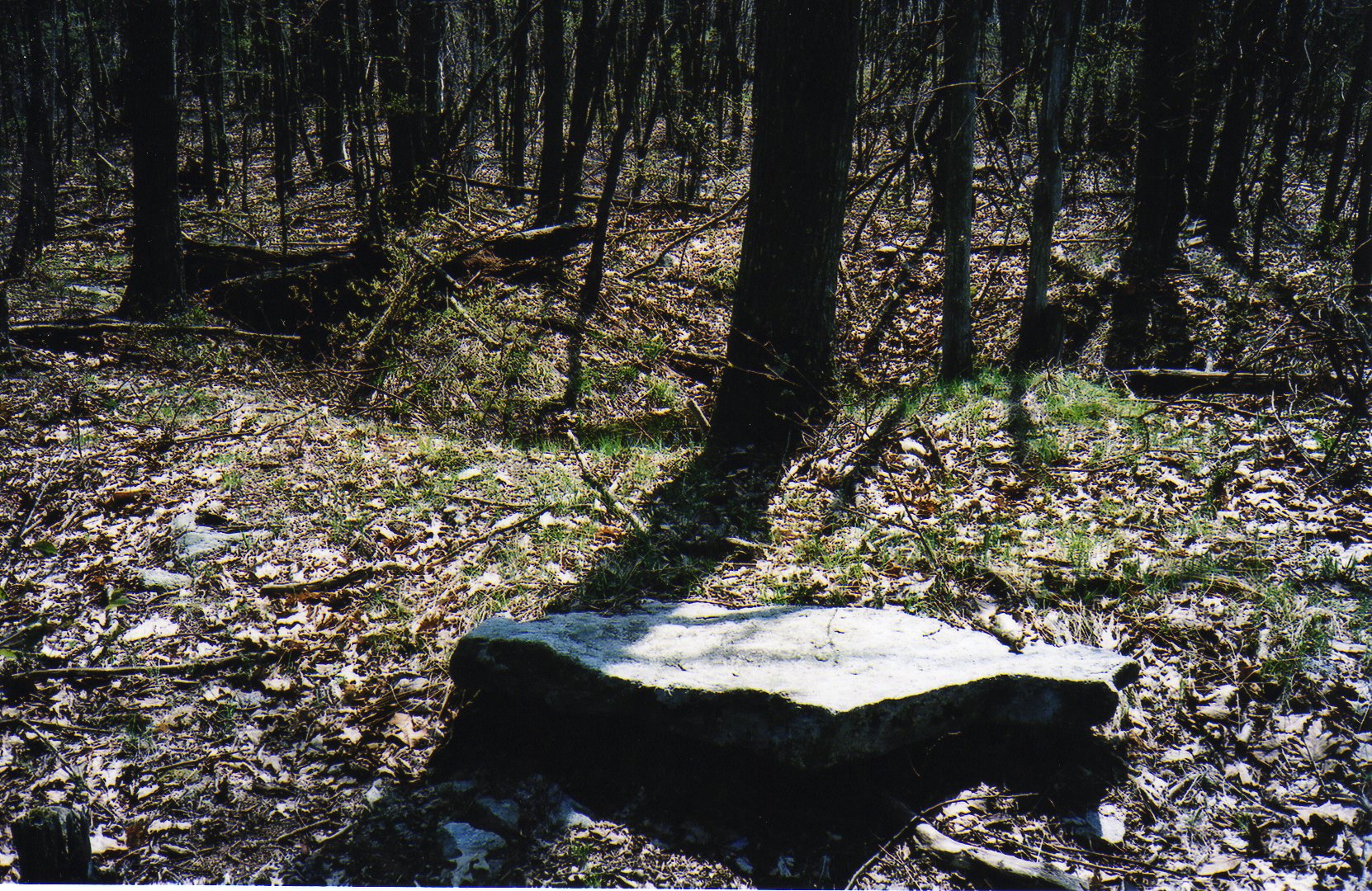
The Quarry Masters House
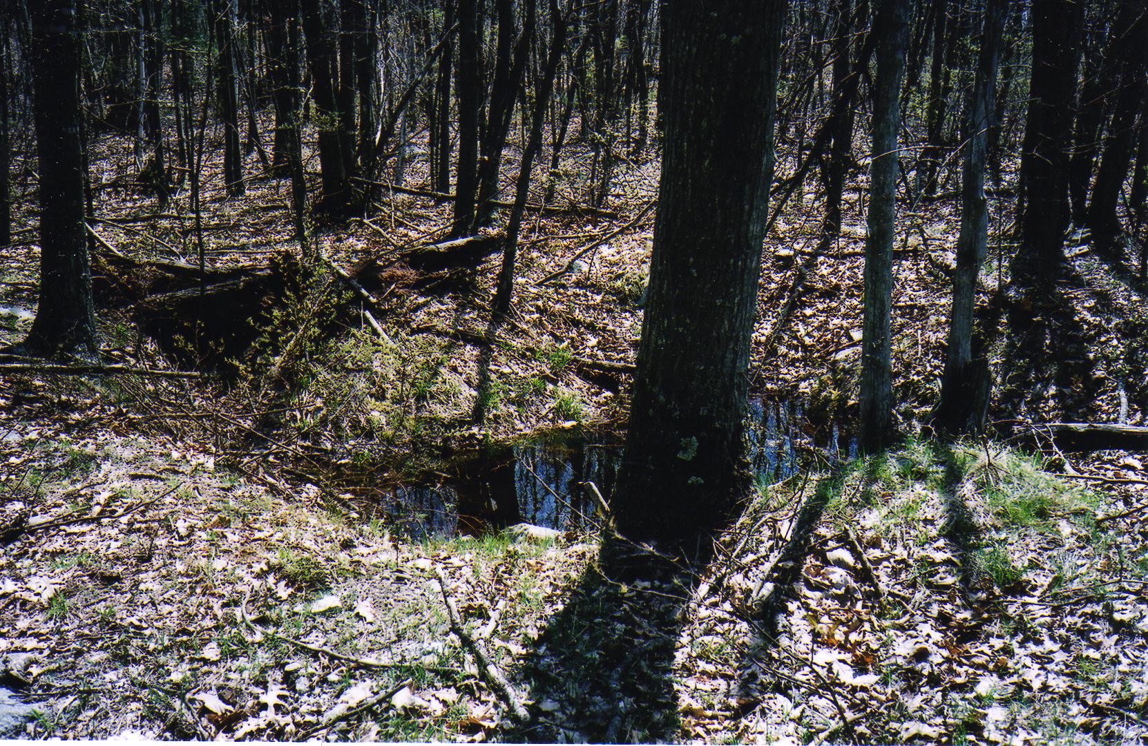
Another view showing the water in the hole.
An interesting thing about this site is that stone walls run nearby and form the boundaries of what were once fields or pastures. The walls and the close proximity of the cellar hole may indicate that this quarry was used as a way to supplement income for a farmer who lived there.
The Ox-shoe Farm
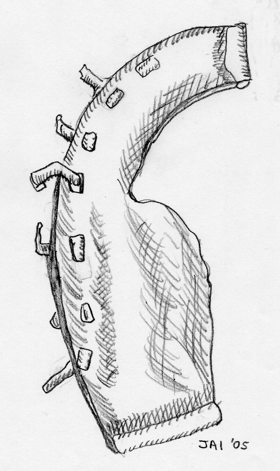
A sketch of the ox-shoe found at the site.
If one hikes back to the “First Farm” site, and takes a right onto Hanton City Trail, and then follows it until they reach a bend in the road, they will come to what I’ve named “The Ox Shoe Farm” because I found an ox-shoe there. The site is about 75 feet off to the left side of the road at the bend. This is perhaps Hanton City’s most famous cellar hole, visited by many explorers because it sits just in from the road and is highly visible and easily accessible. The site was also described in a 1889 Providence Journal newspaper article.
The remains of the cellar hole are located inside a stone wall pen about 350 feet square. The south-east wall extends deep into the woods for about 1,900 feet.
Click on images to enlarge.
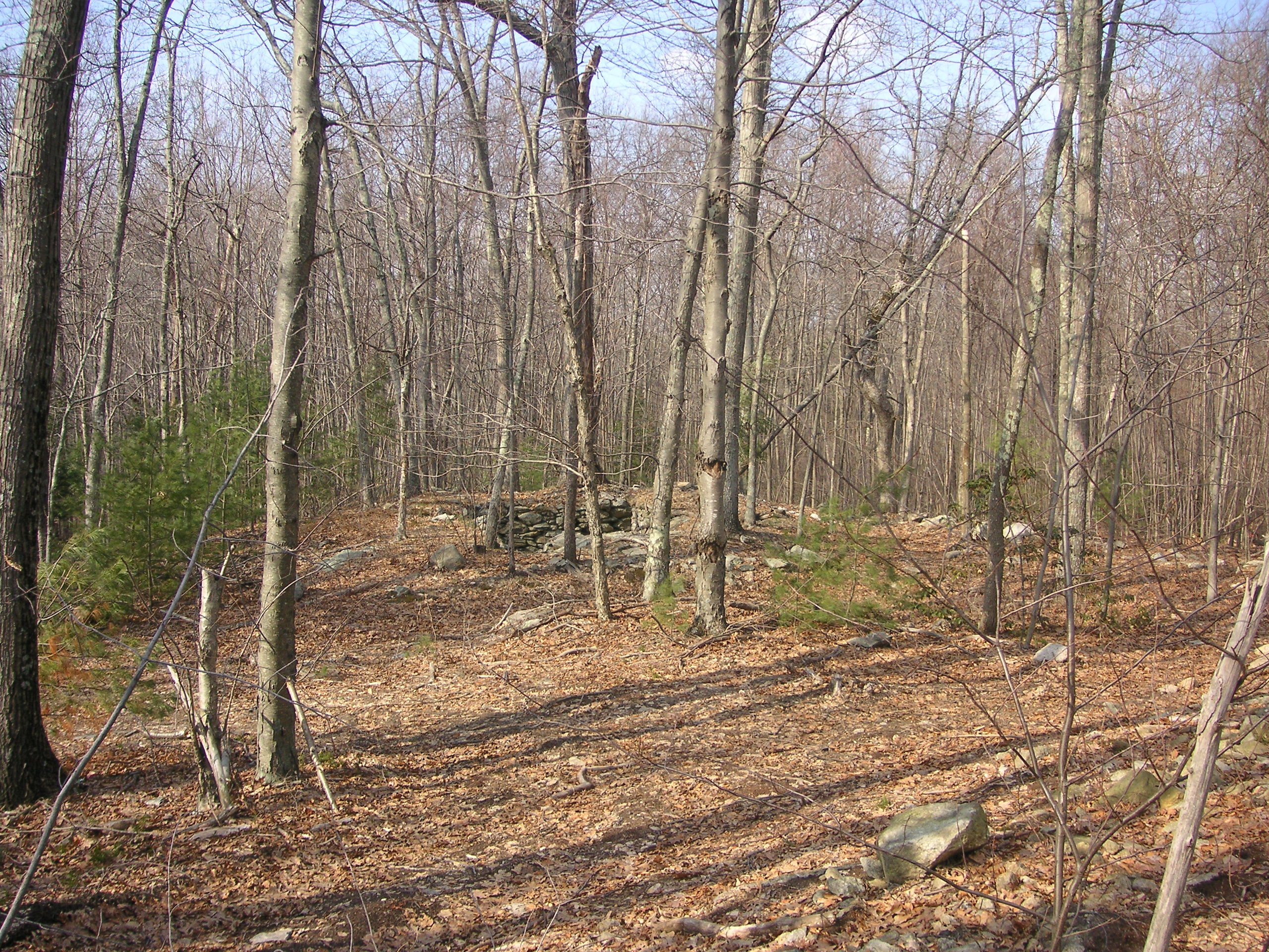
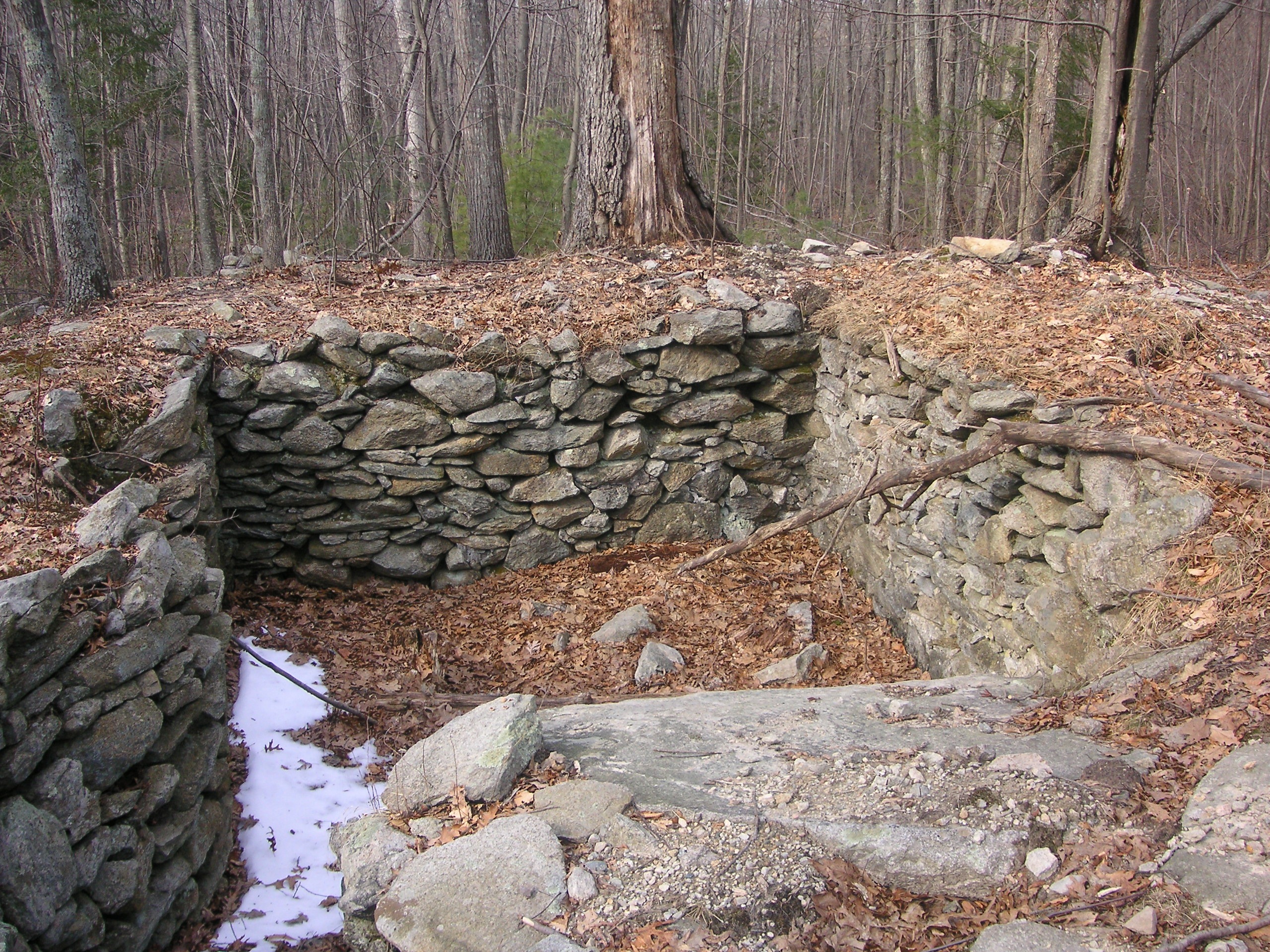
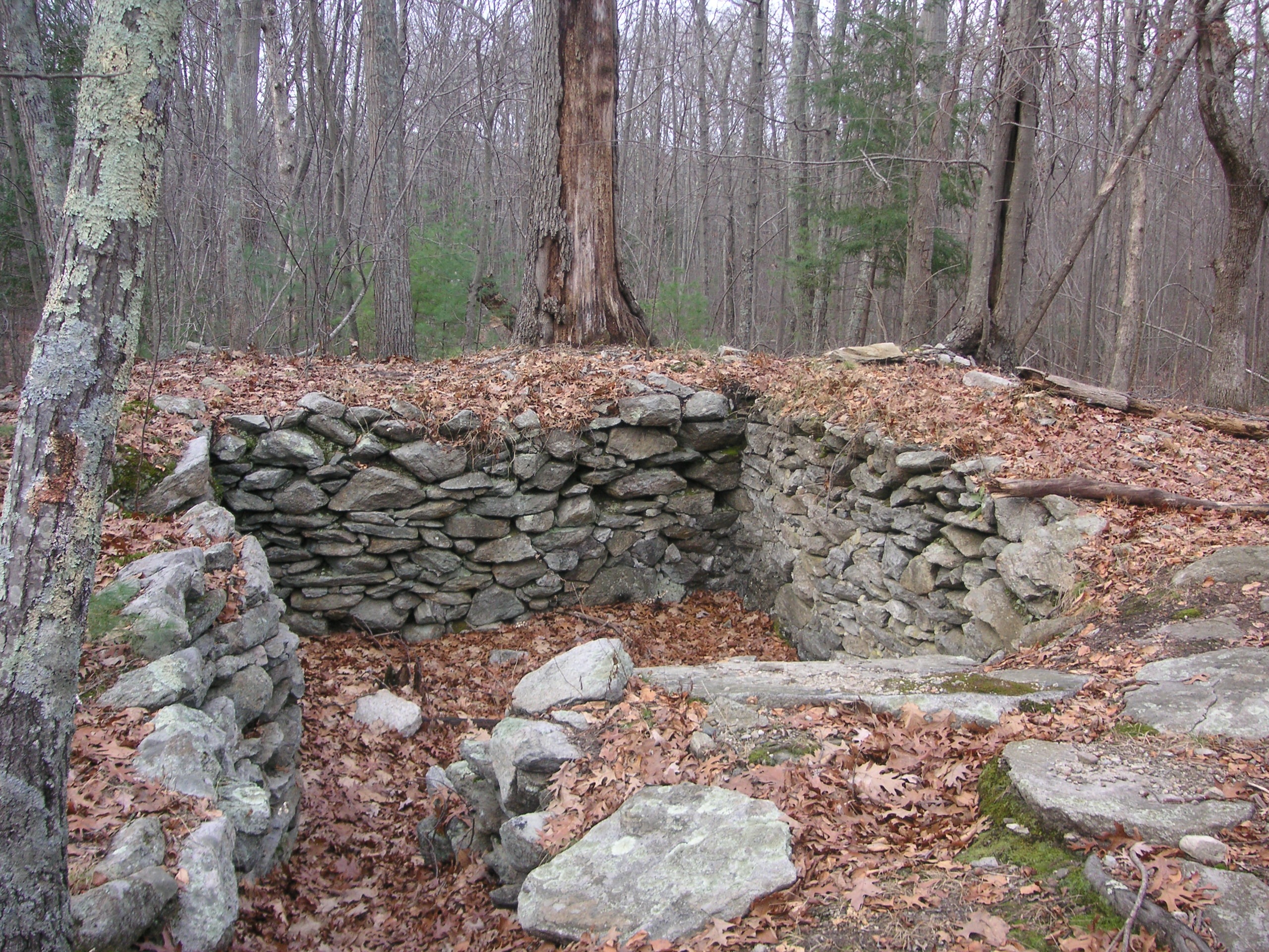
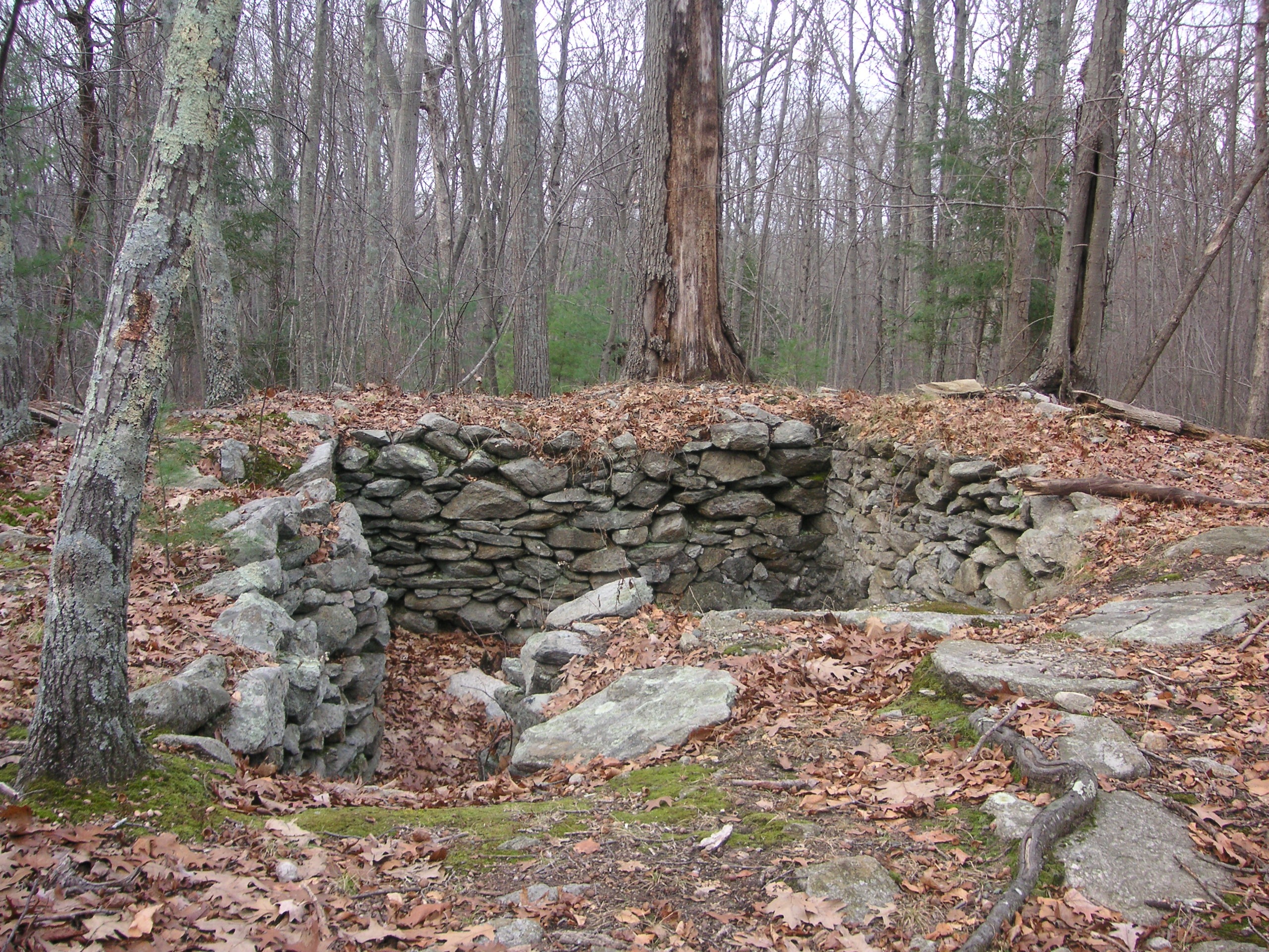
The cellar hole is located about 75 feet off Hanton City Trail.
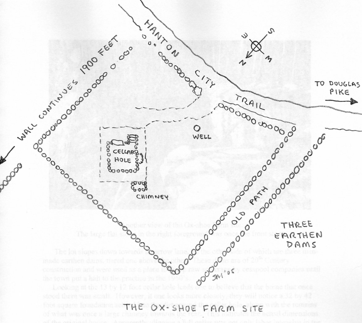
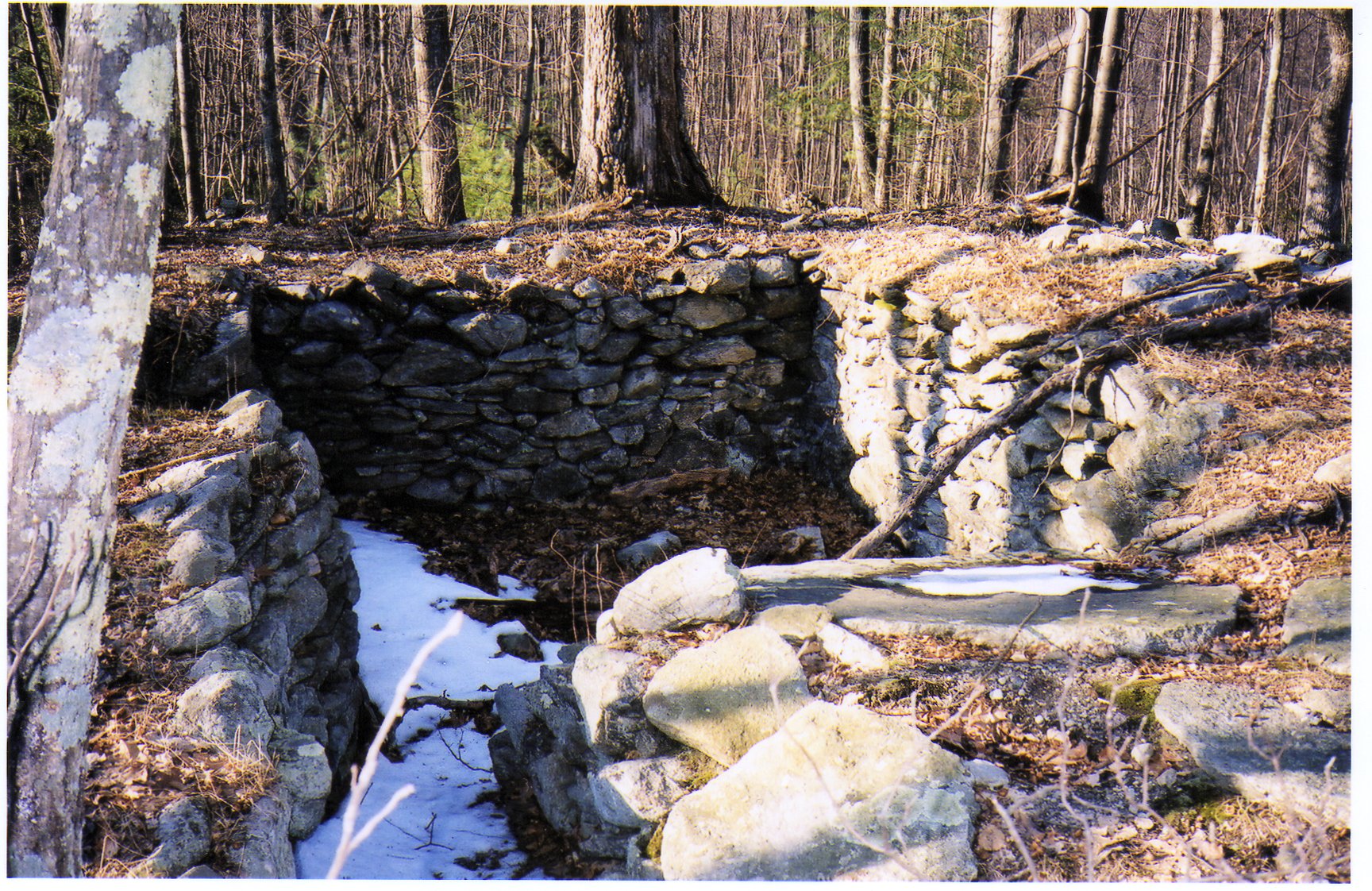
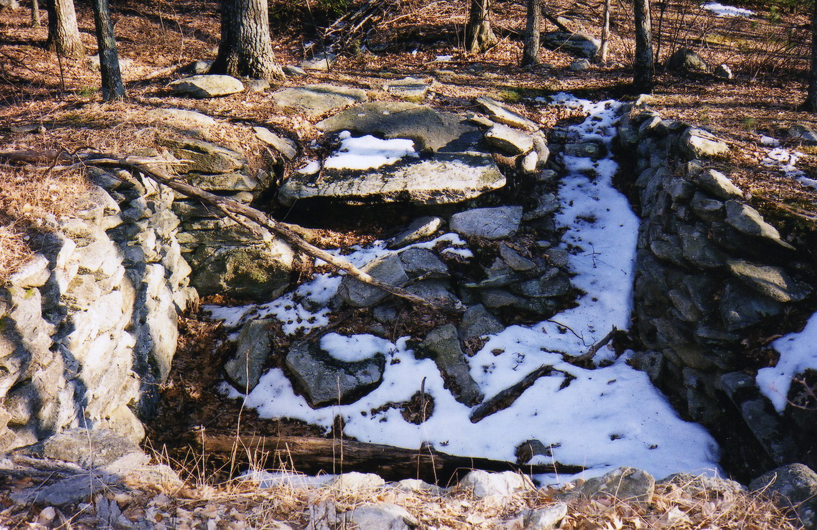
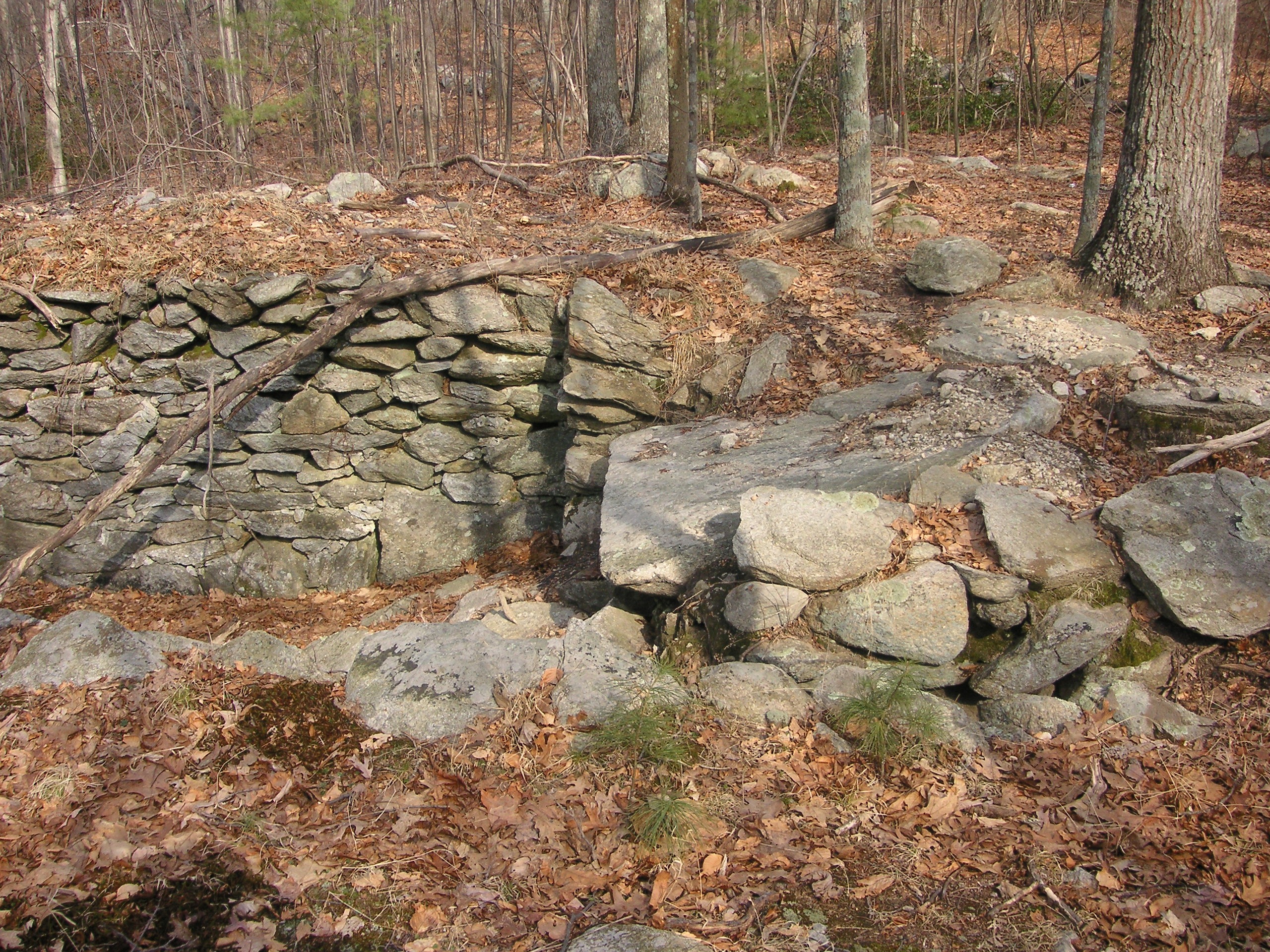
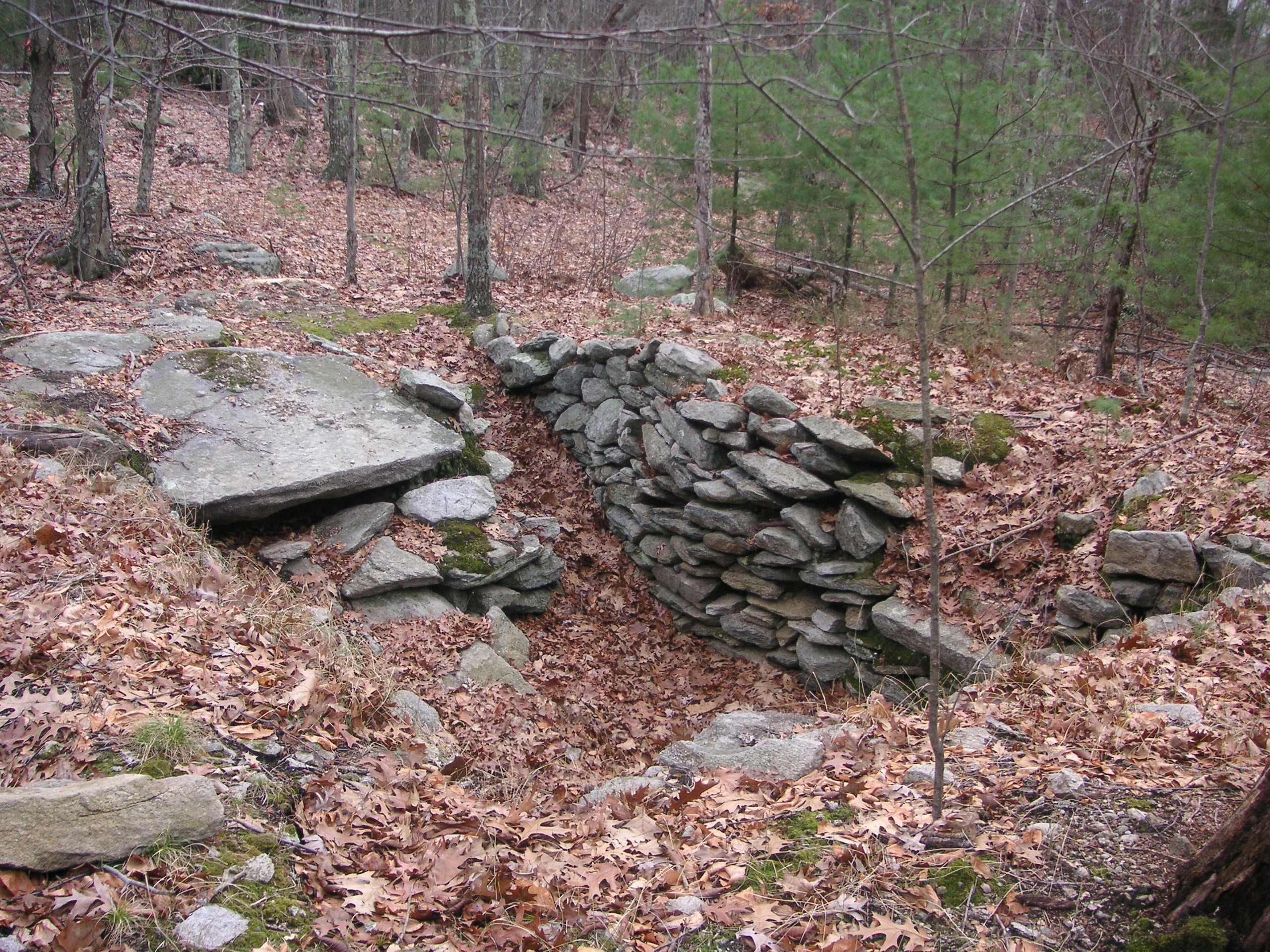
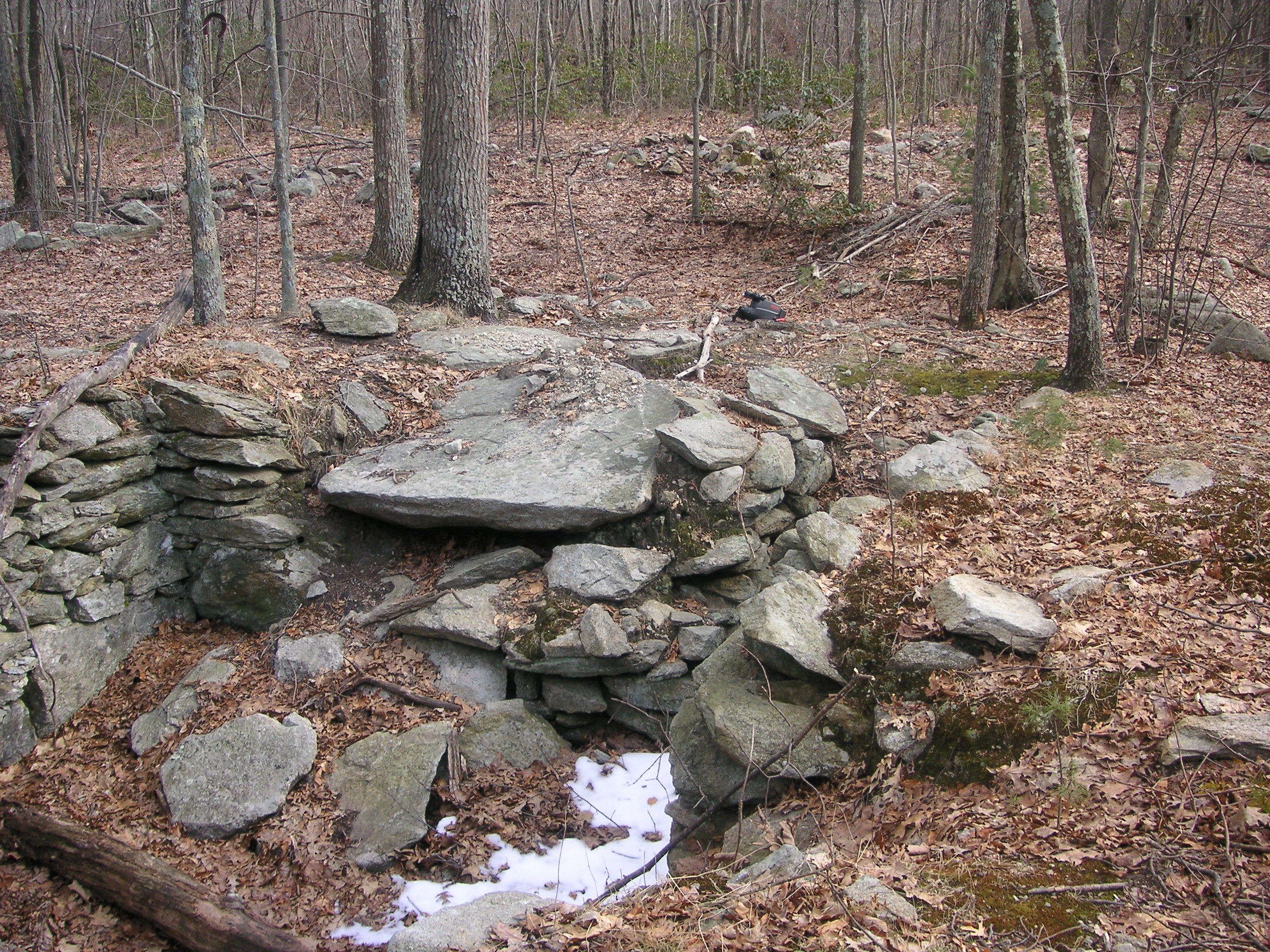
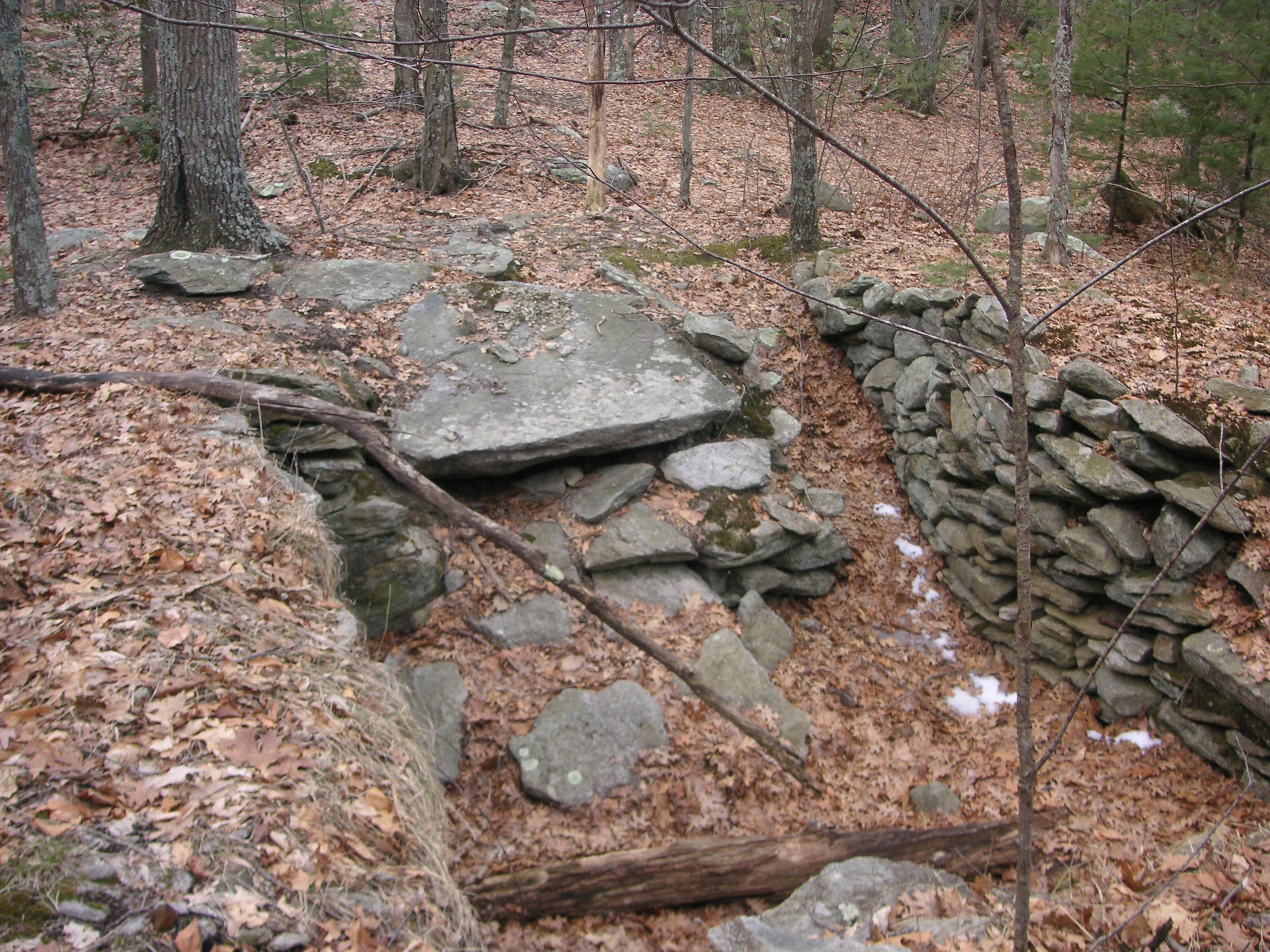
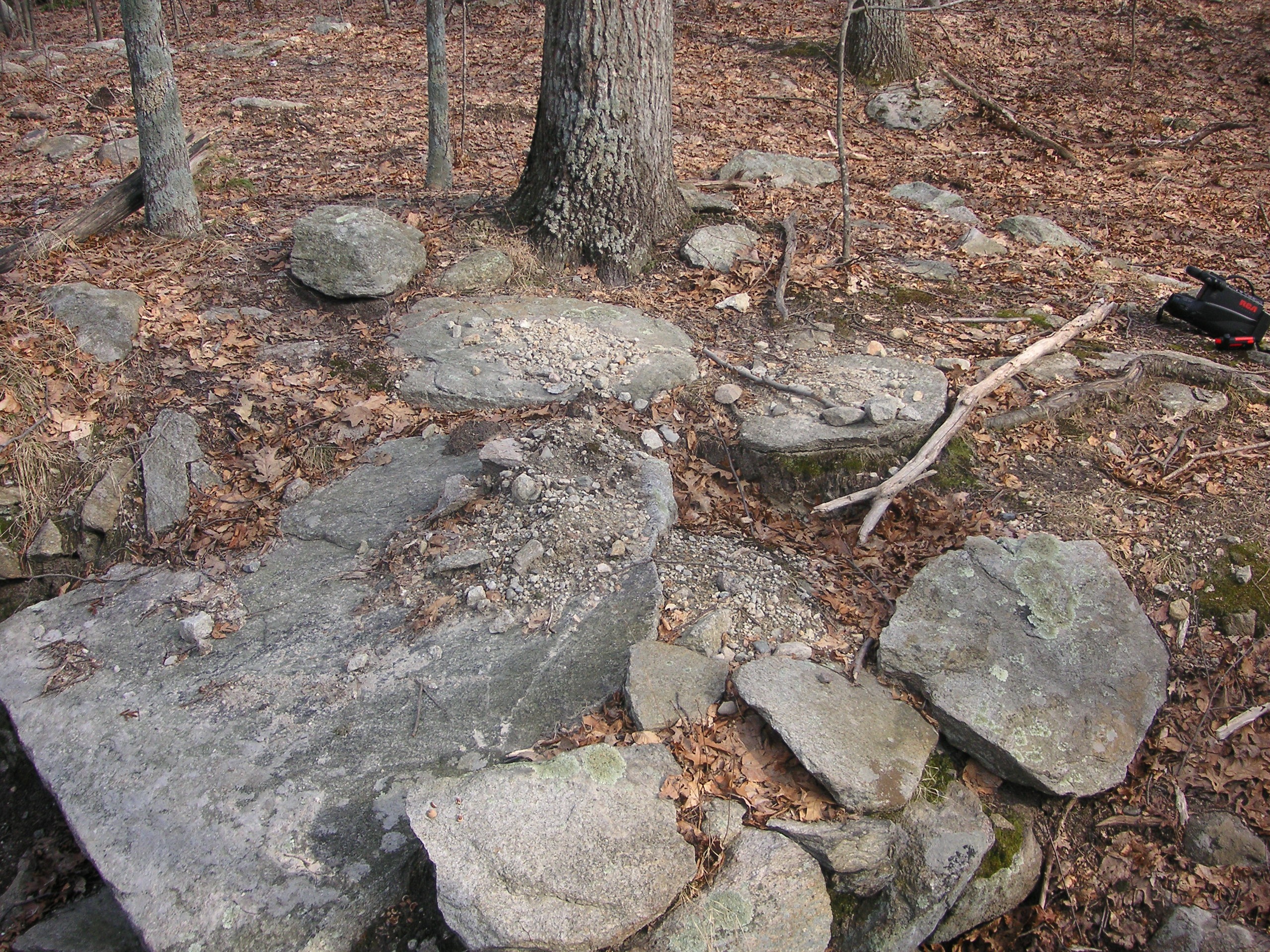
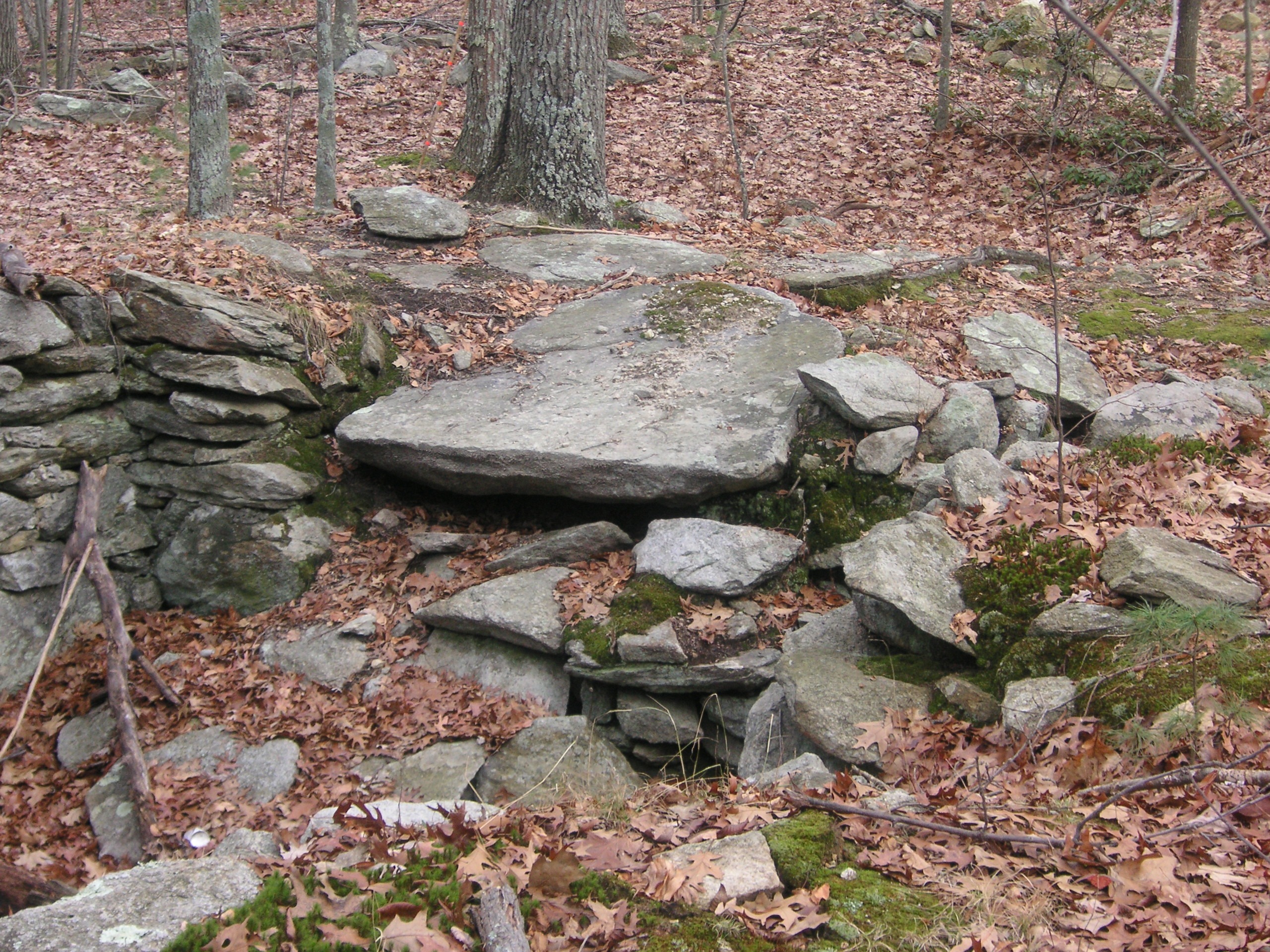
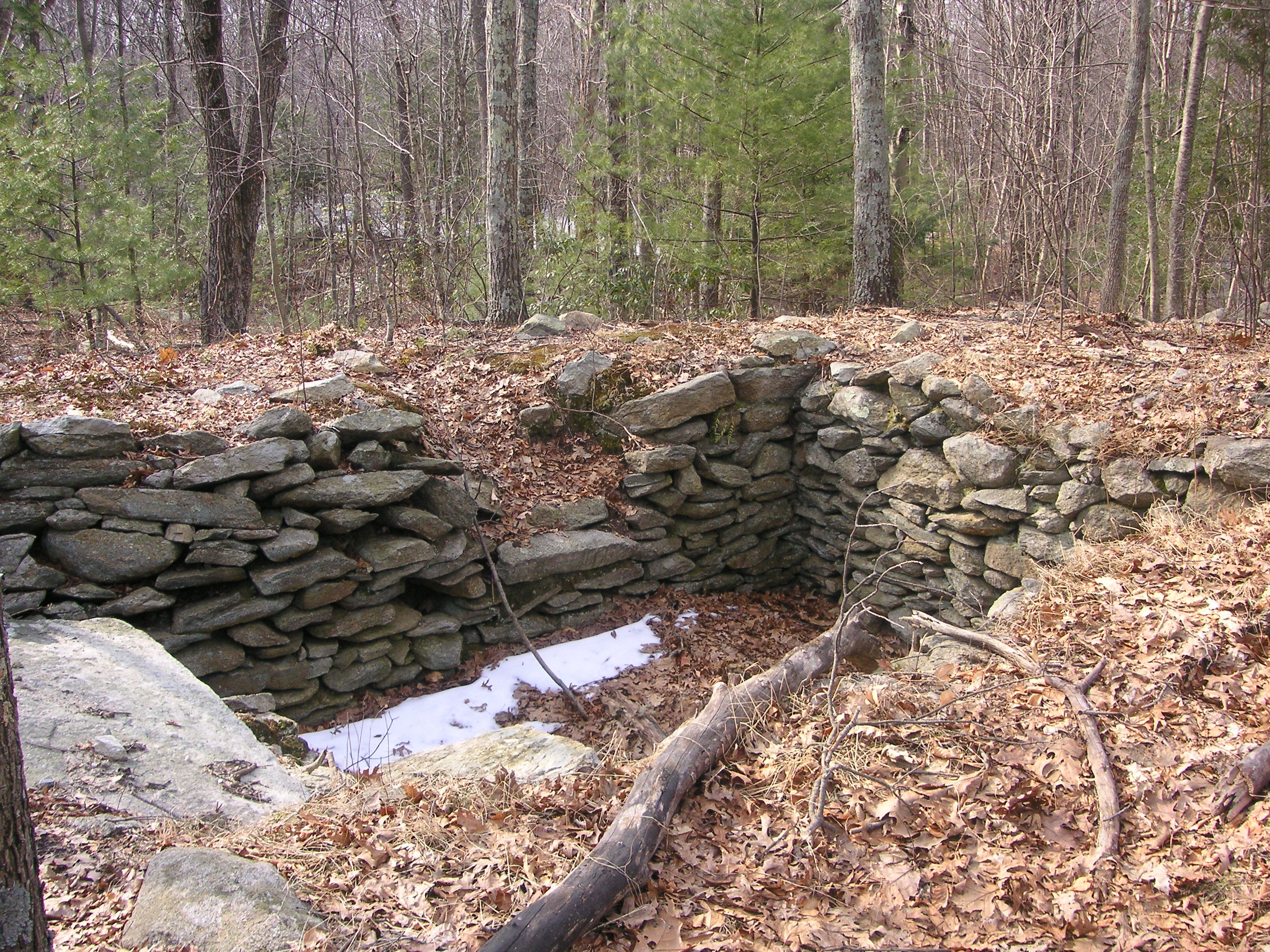
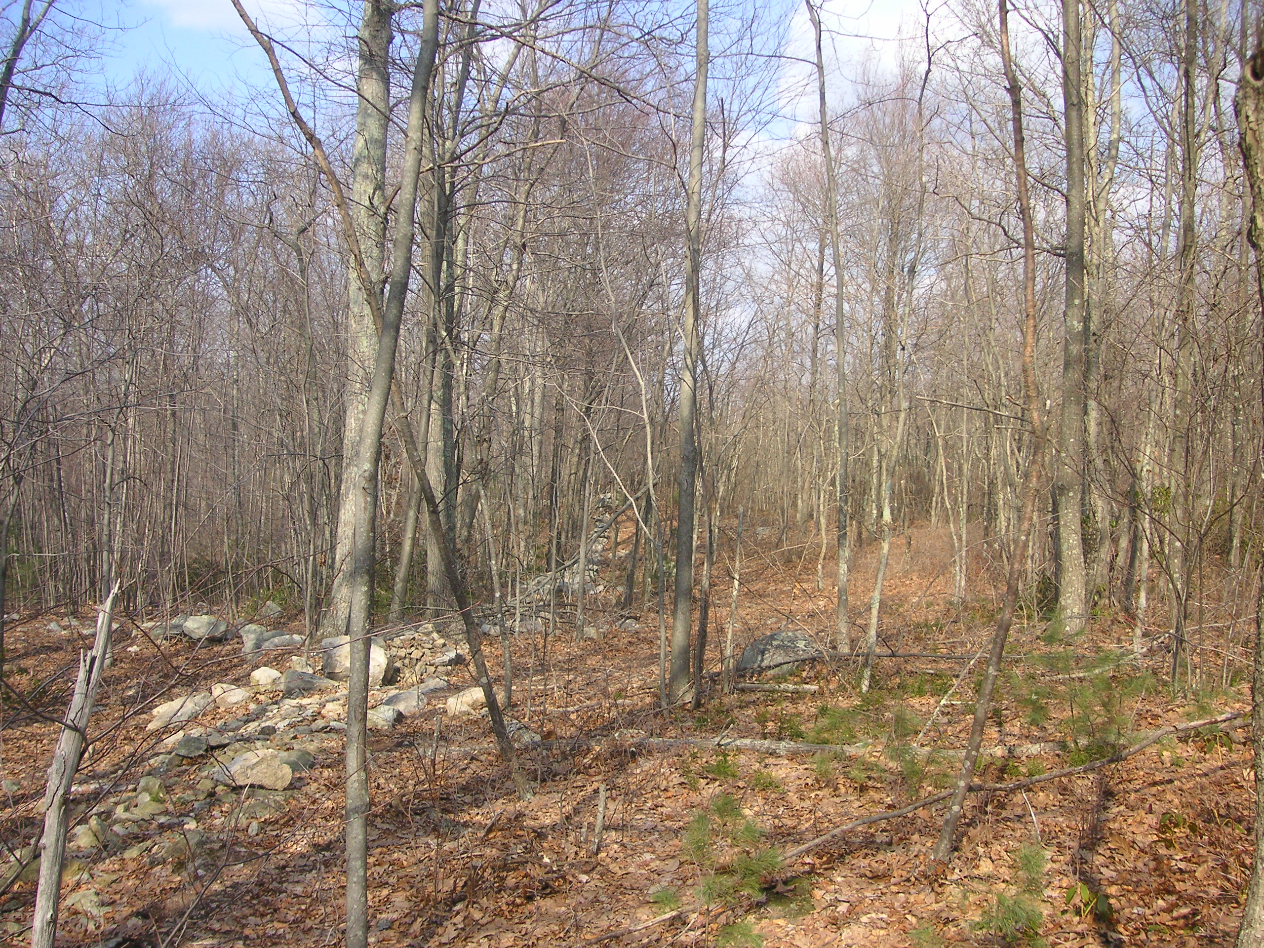
The beginning of a stone wall that runs for 1,900 feet.
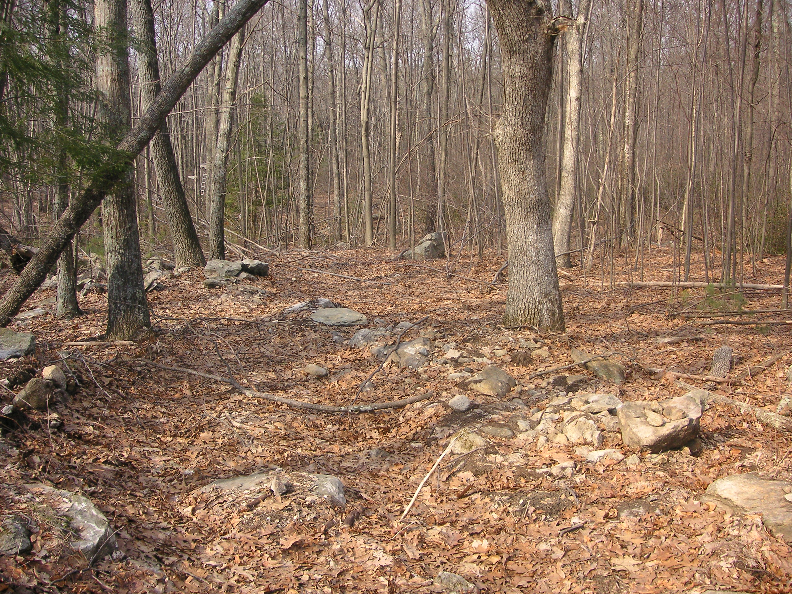
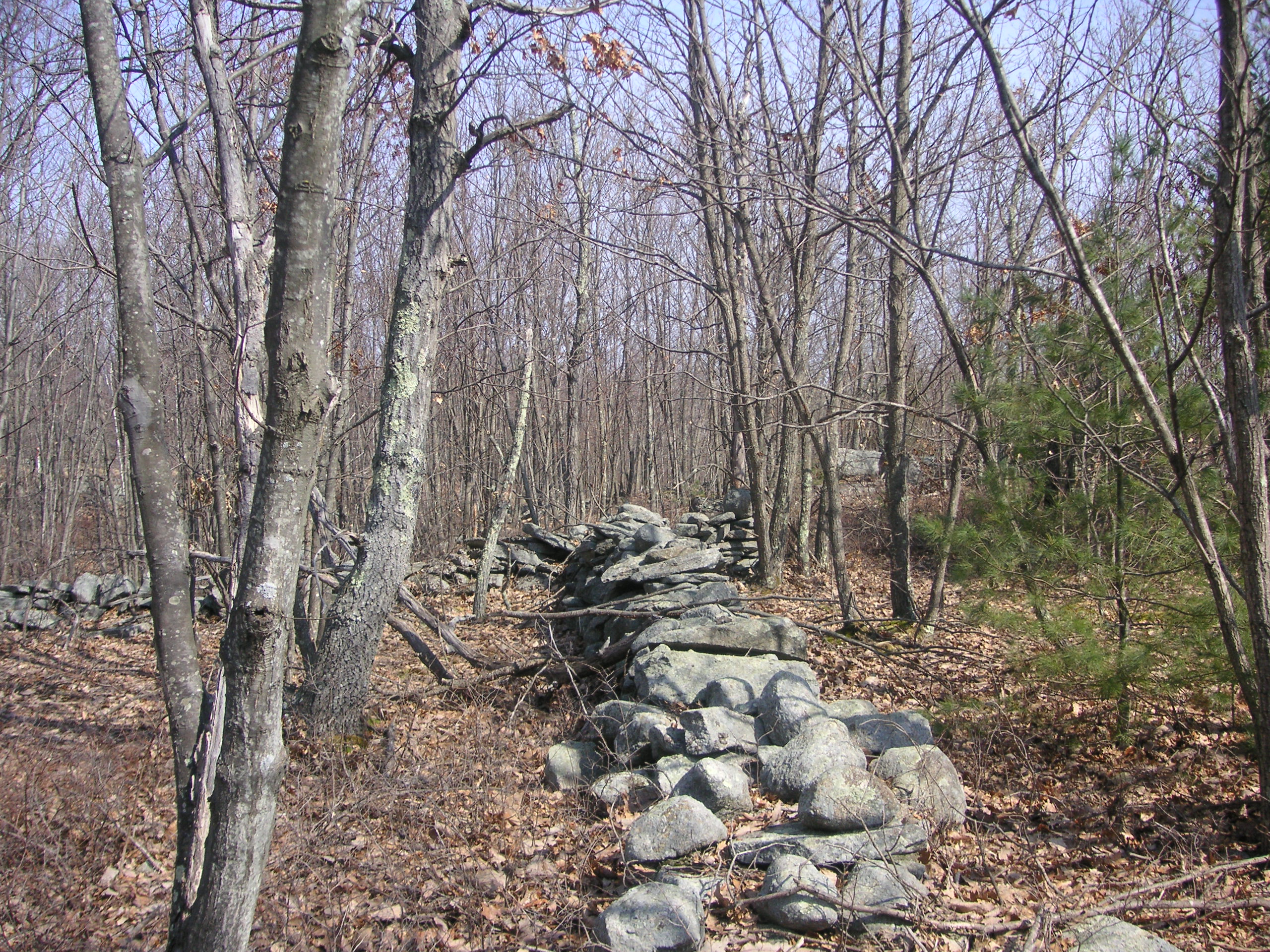
The lot slopes down towards a narrow lane, on the other side of which are three man-made earthen dams, tiered one above the other. These dams are of 20th Century construction and were used as a place to dump raw sewerage by cesspool companies until the town put a halt to the practice in the 1960’s.
Looking at the 13 by 12 foot cellar hole leads one to believe that the home that once stood there was small. However, it one looks more closely, they will notice a 32 by 42 foot square foundation settled into the dirt around the cellar hole, along with the remains of what was once a large chimney towards the rear. This indicates the actual dimensions of the original house. Apparently, digging a full cellar was not only labor intensive in the rocky soil, but also unnecessary. Most likely, the cellar hole indicates where the original portion of the house was built before other rooms were added on later.
Between the remains of the house and the Hanton City Trail roadway lies an uncovered well.
New Information About This Site
The image below shows a partial map of Hanton City taken from a larger map produced by Henry F. Wallings in 1862. The original map measures approximately five-and-a-half feet by five-and-a-half feet and includes the entire state of Rhode Island. Should one wish to view it in its entirety, it hangs on permanent display behind glass at the Harmony Public Library on Route 44 in Glocester, Rhode Island.
The settlement is not noted as Hanton City, but home sites are shown indicating that the area was not ignored as alleged in folklore.
The map indicates the former Town House and Town Asylum, neither of which are still in existence. The map also shows the four-way intersection is of Hanton City Trail and Lydia Ann Road. One will note that where Hanton City Trail makes a bend in the road, there is the indication of a house with the name “D. Shippee” next to it. The dot indicating the house is on the wrong side of the road, which could have been an slight error by the map maker. The map seems to indicate that the Ox-Shore Farm was once owned by the Shippee family.
What’s also interesting to note is that on the opposite side of Rocky Hill is the name “Wm. Howard”, a name formerly not heard of as being associated with the area. The Hilltop Farm is located in this area.
This map also indicates that Hanton City was still an active settlement during the 1860s.
Click on map to enlarge.
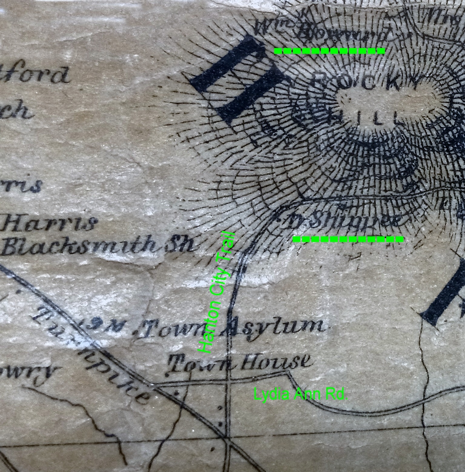
A partial map of Hanton City – 1862
The Daniel Home Site
About 200 to 300 feet farther up Hanton City Trail from the Ox-shoe Fram, on the left, one will see an open area that has been blocked with trees and brush. Beyond the trees and brush, looking to the north, one can see a clearing and on the far side of that clearing one can see that a trail goes off into the woods. (This trail has no name.) In this area, a house once stood. People lived in this house until about 1970. In 1973 it fell victim to arson. (More about this house later.)
An old well can be found nearby.
The 20th century garbage dump to the house is located at the bottom of the hill.
The Mystery Stones Site
Following the un-named trail at the far side of the clearing at the Daniel Home Site will lead to a formation of six upright stones that have been the subject of speculation for many years. Some believe it to be a cemetery. Others think it may be the remains of a corn crib. Still others think the possibility exists that the stones may pre-date the Hanton City settlement and may be native American in origin.
In recent years the corn-crib explanation has become the most accepted.
Click on images to enlarge.
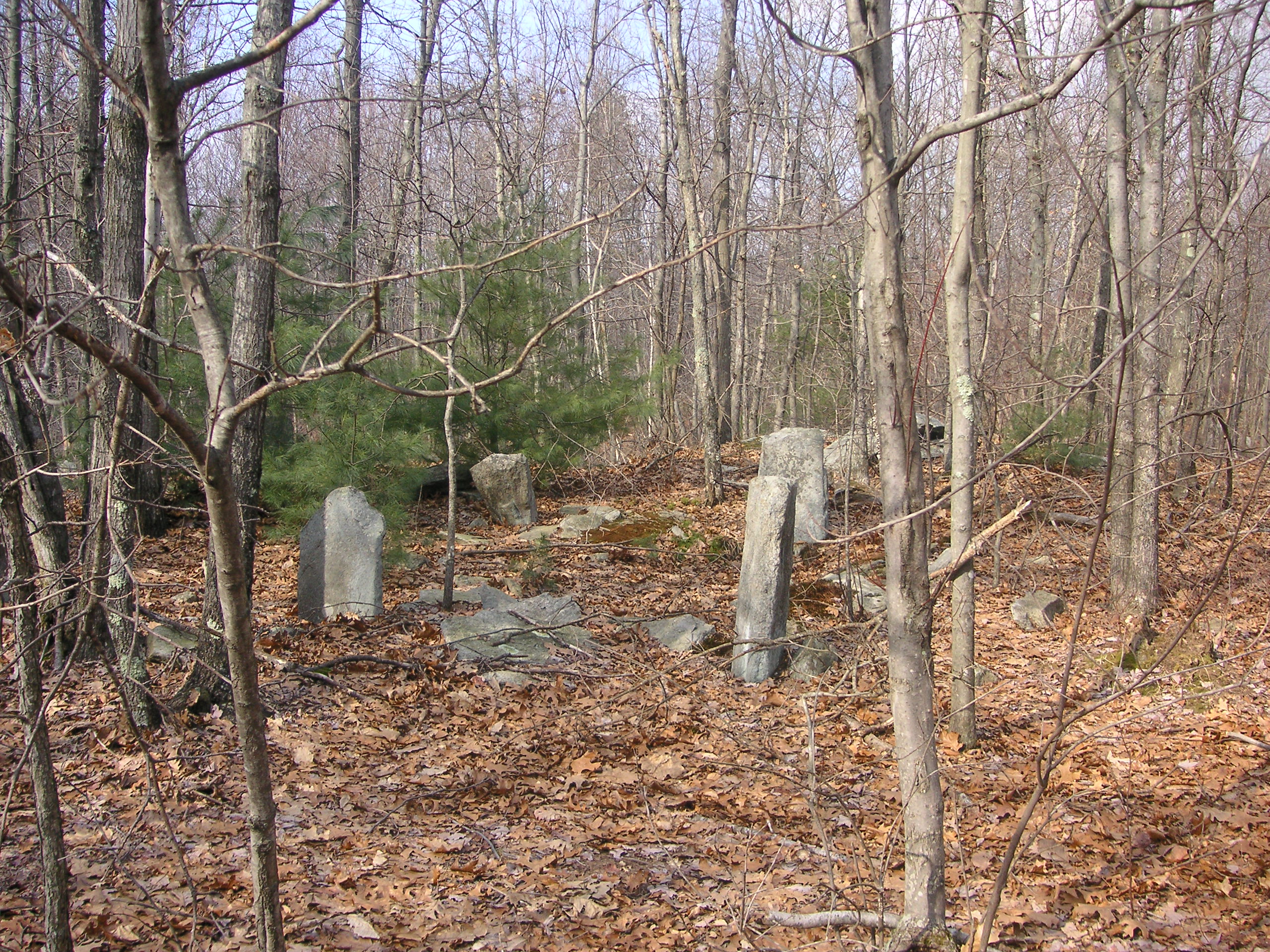
The standing stones as they appear from the trail.
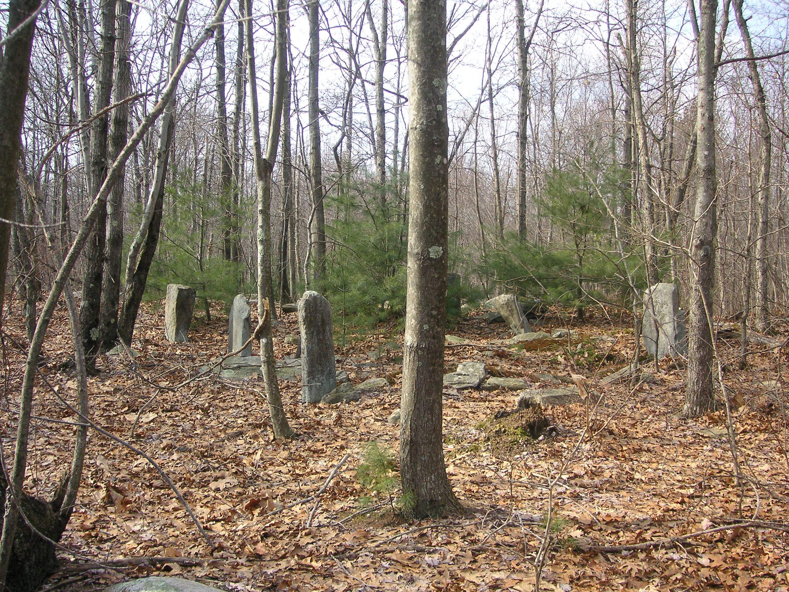
These are not graves.
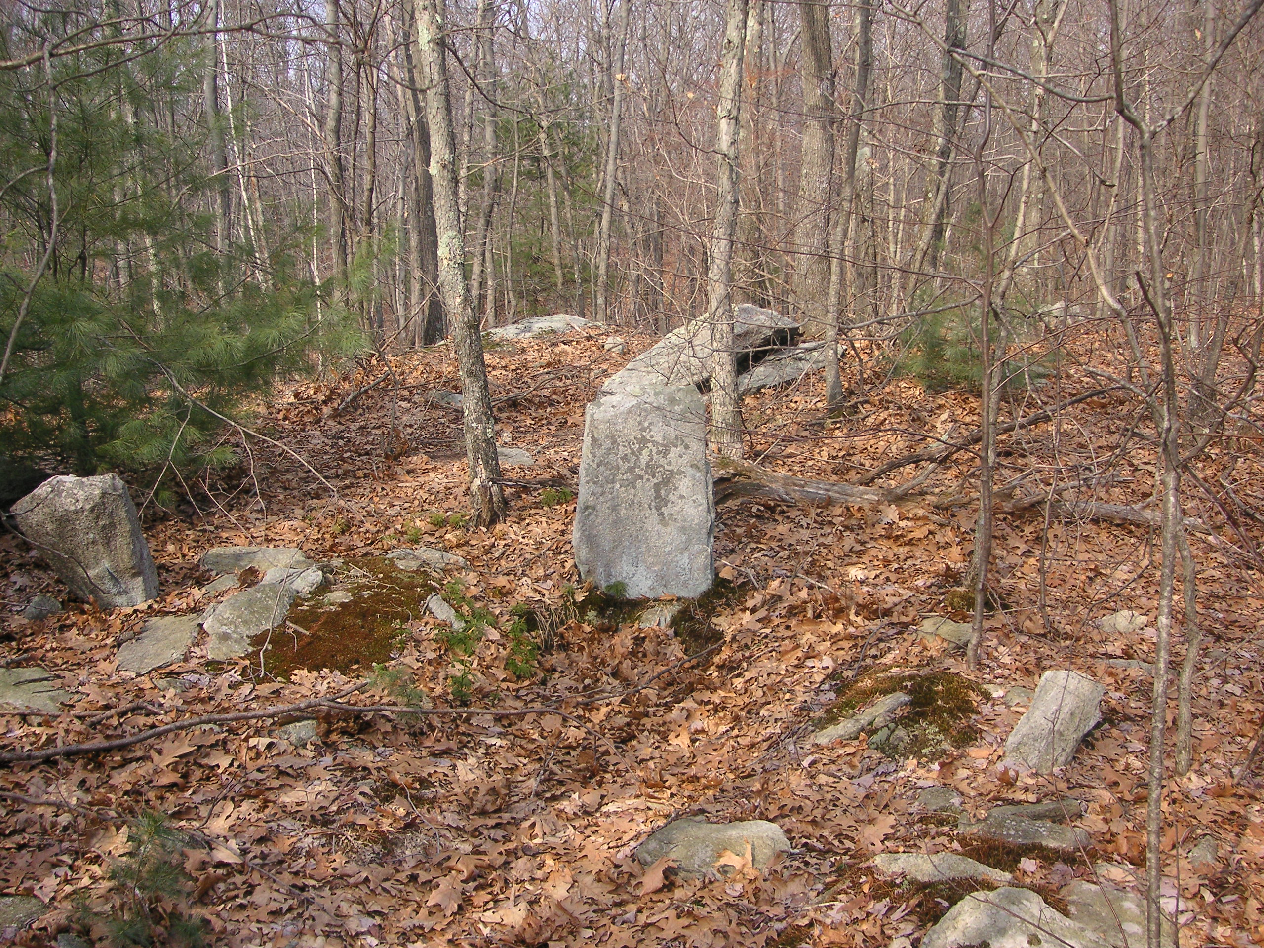
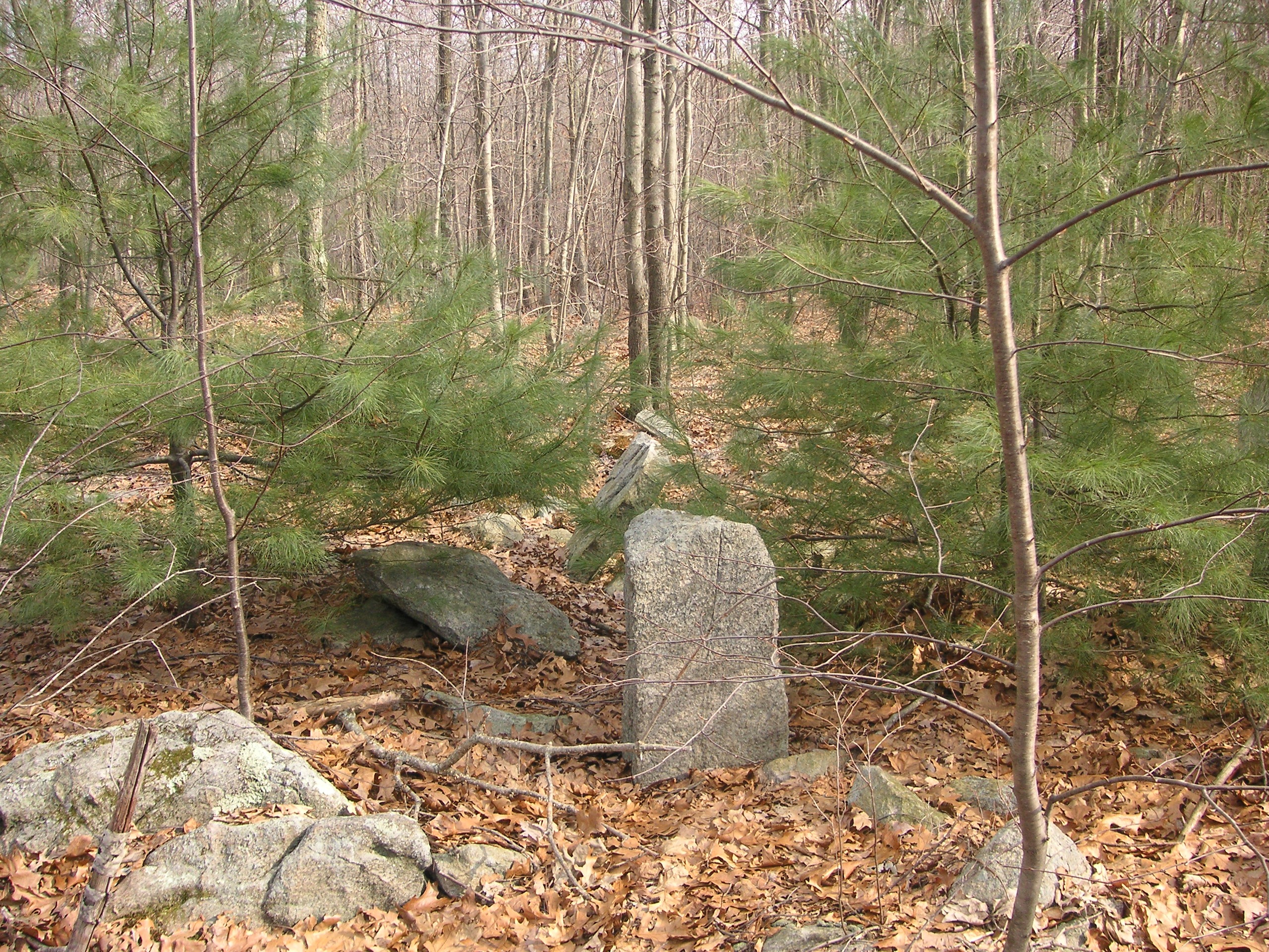
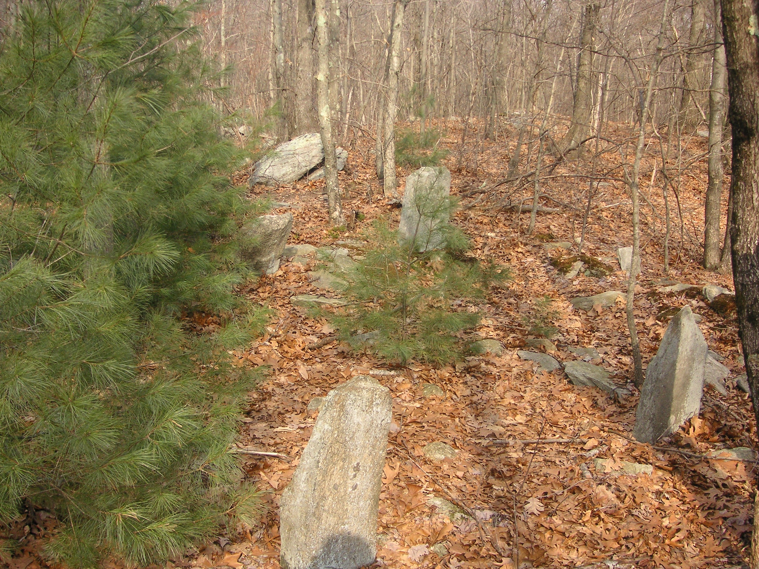
The space occupied by the stones measures 15 by 18 feet.
The New England Antiquities Research Association has documented hundreds of mysterious stone sites all over New England and nearby New York. An excellent book to read on the subject is “Manitou” (The Sacred Landscape of New England’s Native Civilization), by James W. Mavor, Jr. and Byron E. Dix, published by Inner Traditions International, Rochester, Vermont, copyright 1989.
Mystery Stones Cellar Hole
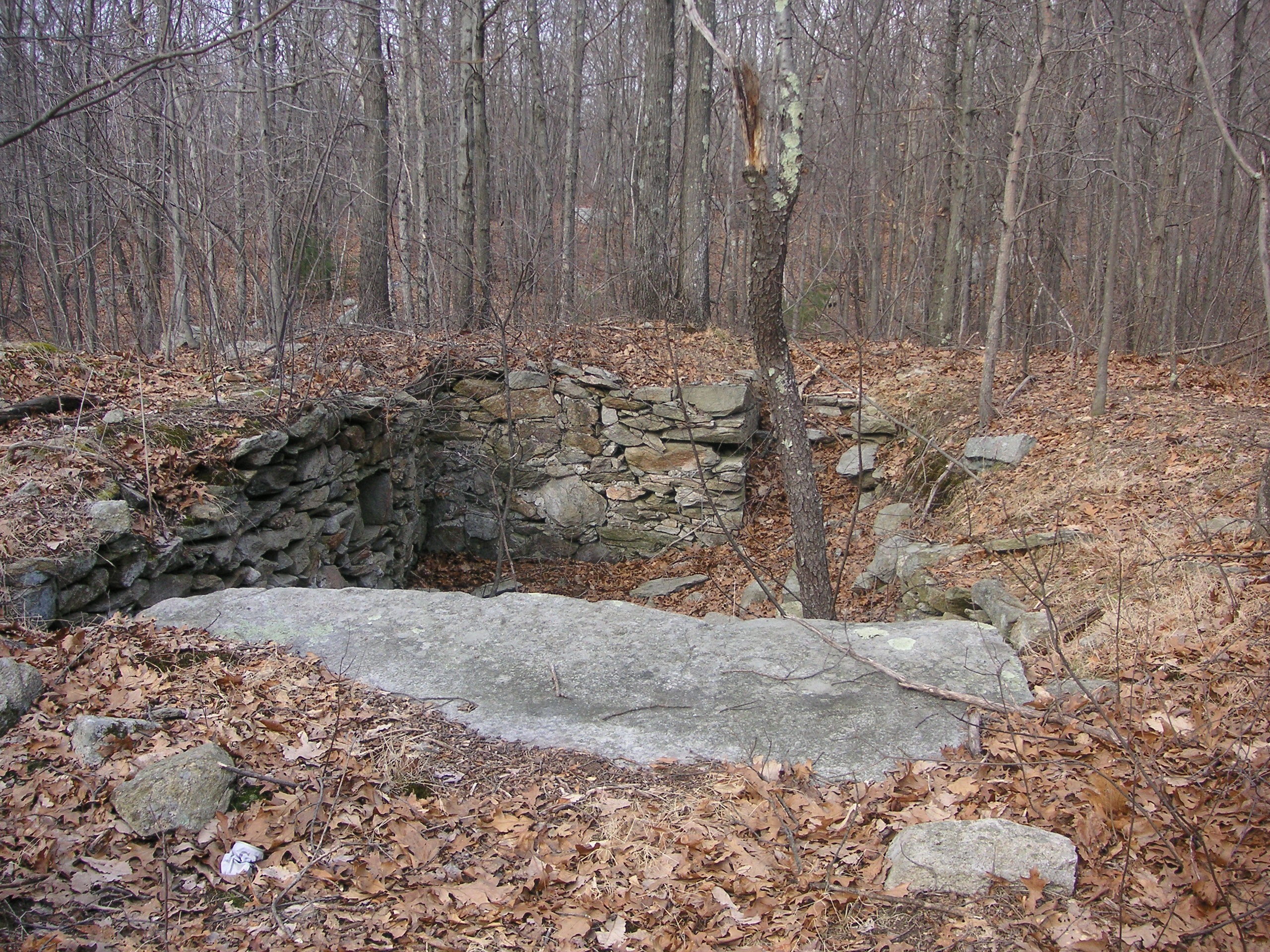
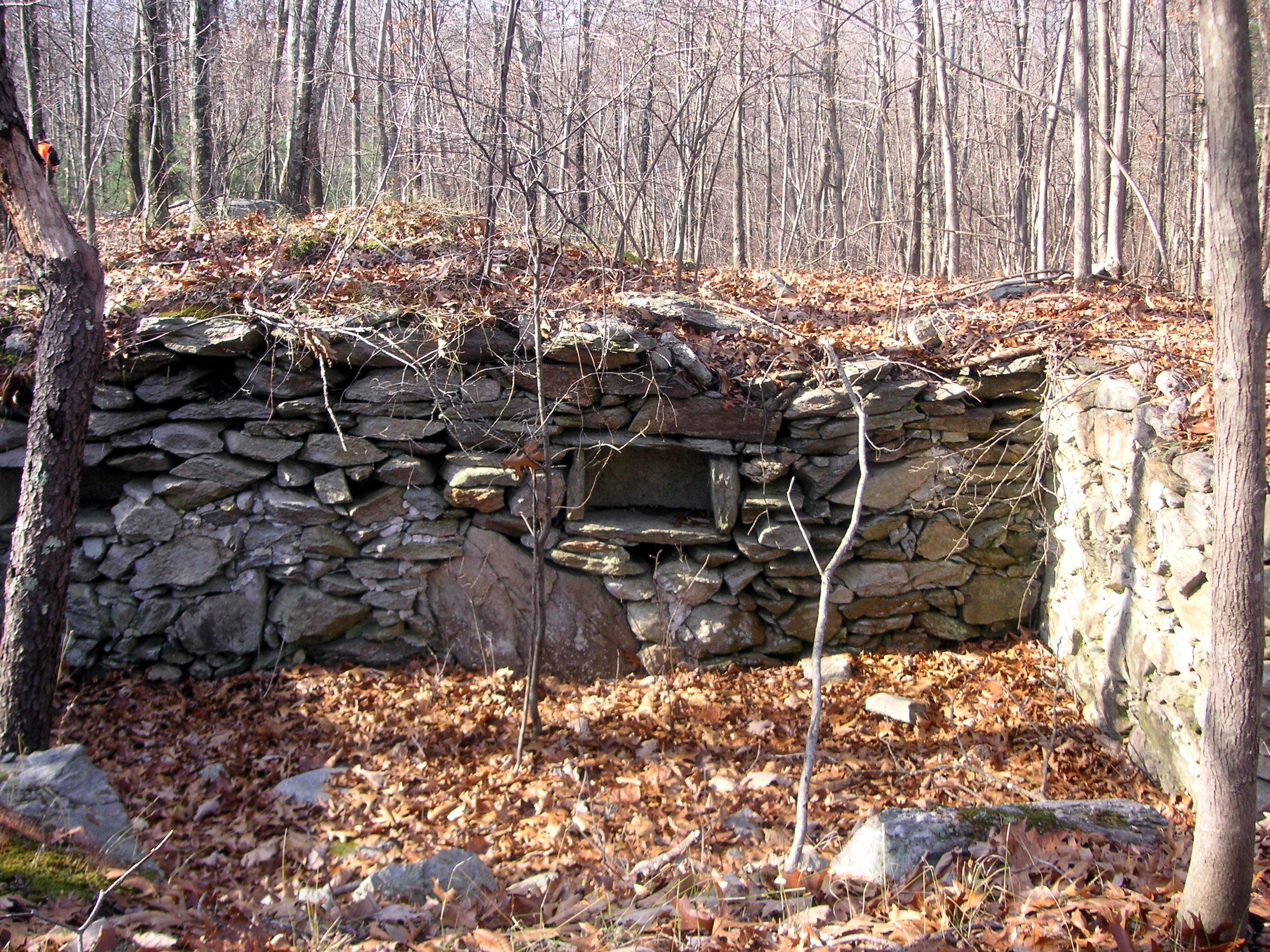
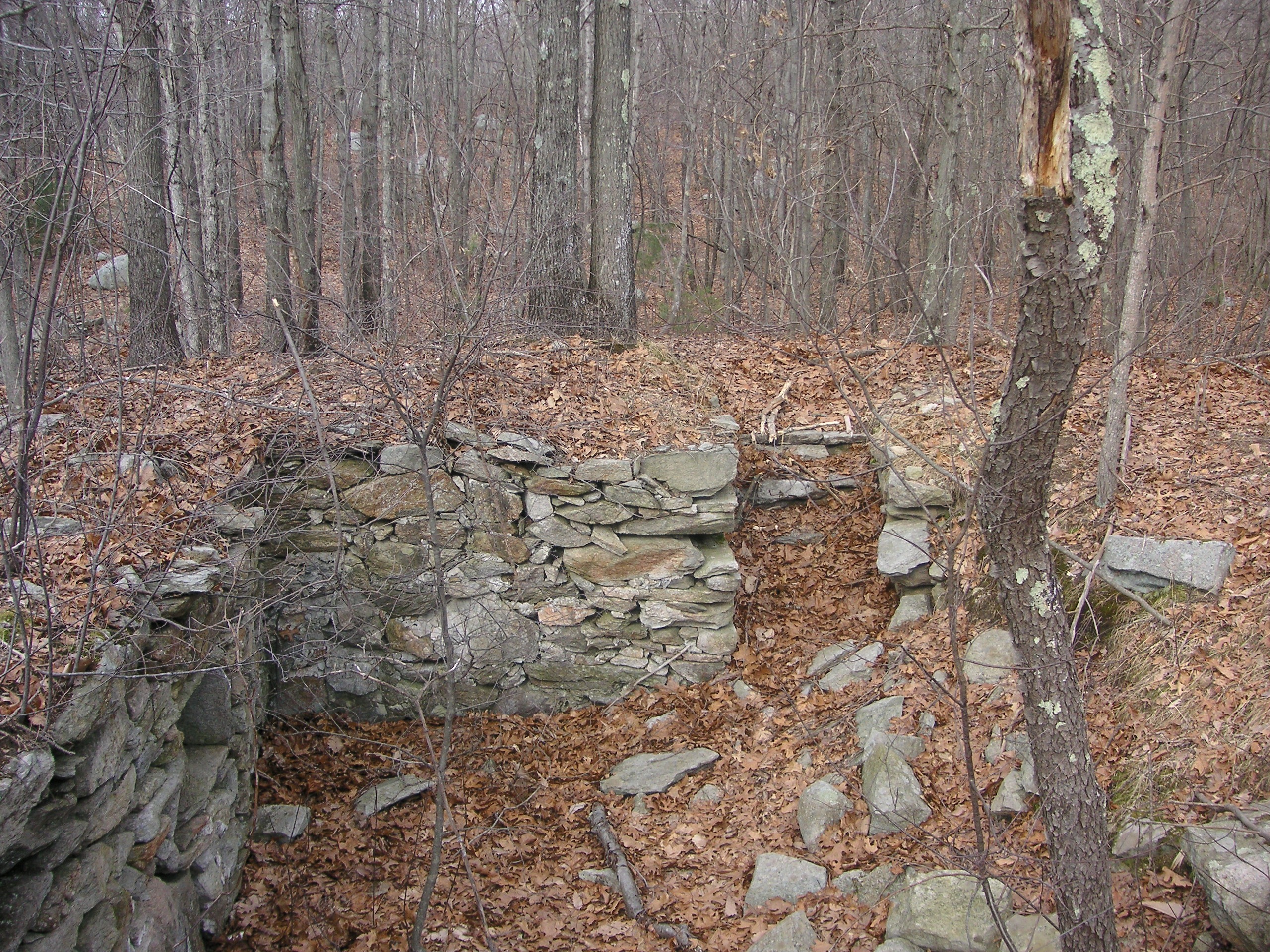
About 50 feet northeast of the “Mystery Stones” is a well preserved cellar hole measuring 12 ft. 6 in. wide by 28 feet long. At the south end it has a 9-foot wide flat rock at one end that may have served as a front stoop, and if one looks along the walls of the cellar hole they will see two built-in shelves, a testimony to the builder’s skill and ingenuity.
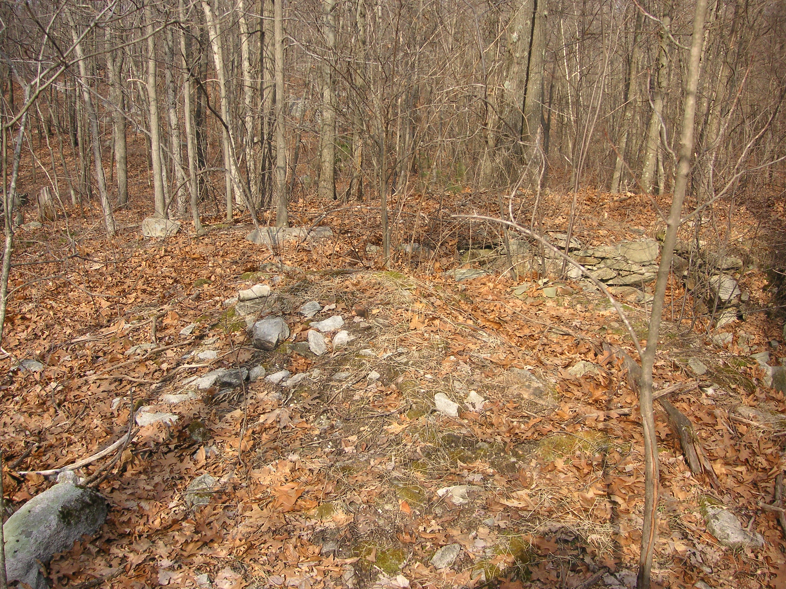
Just a few feet to the northwest of the cellar hole appears to be the remains of either an animal pen or out building.
Click on images to enlarge.
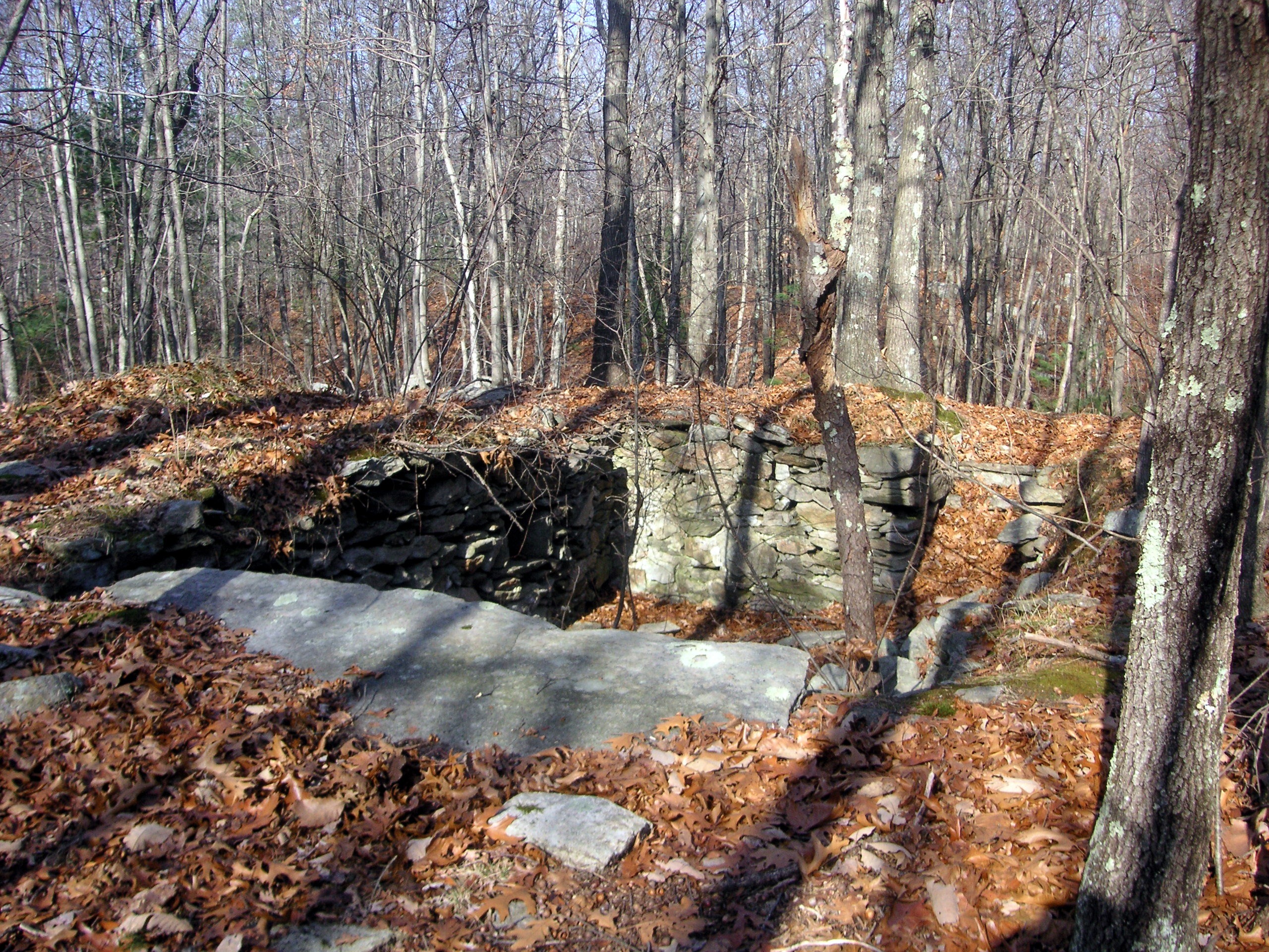
The flat rock is nine feet long.
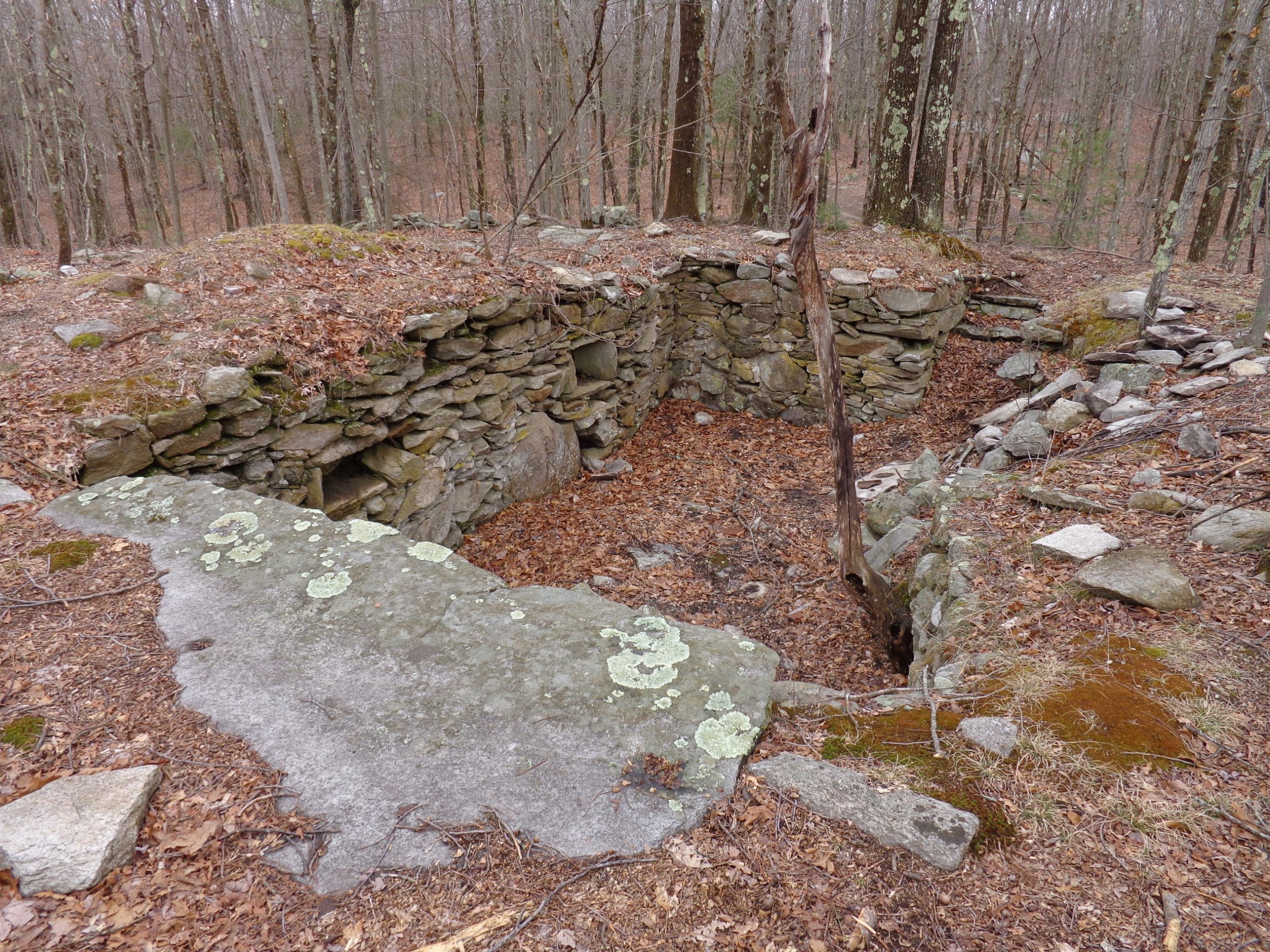
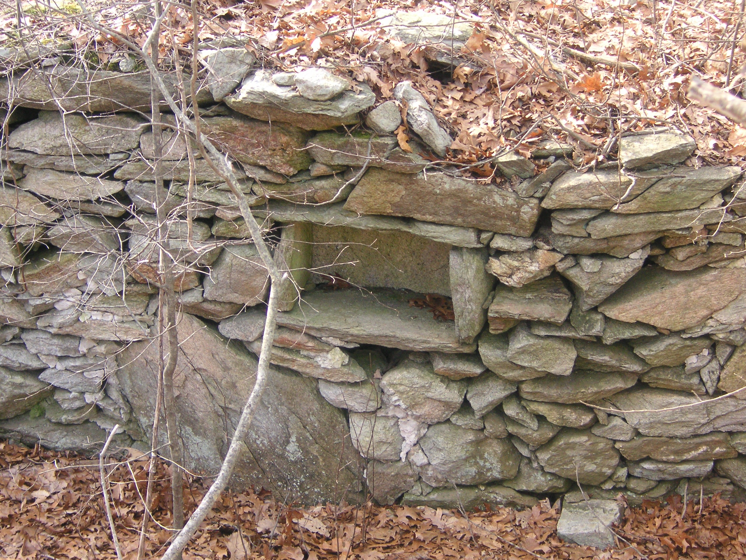
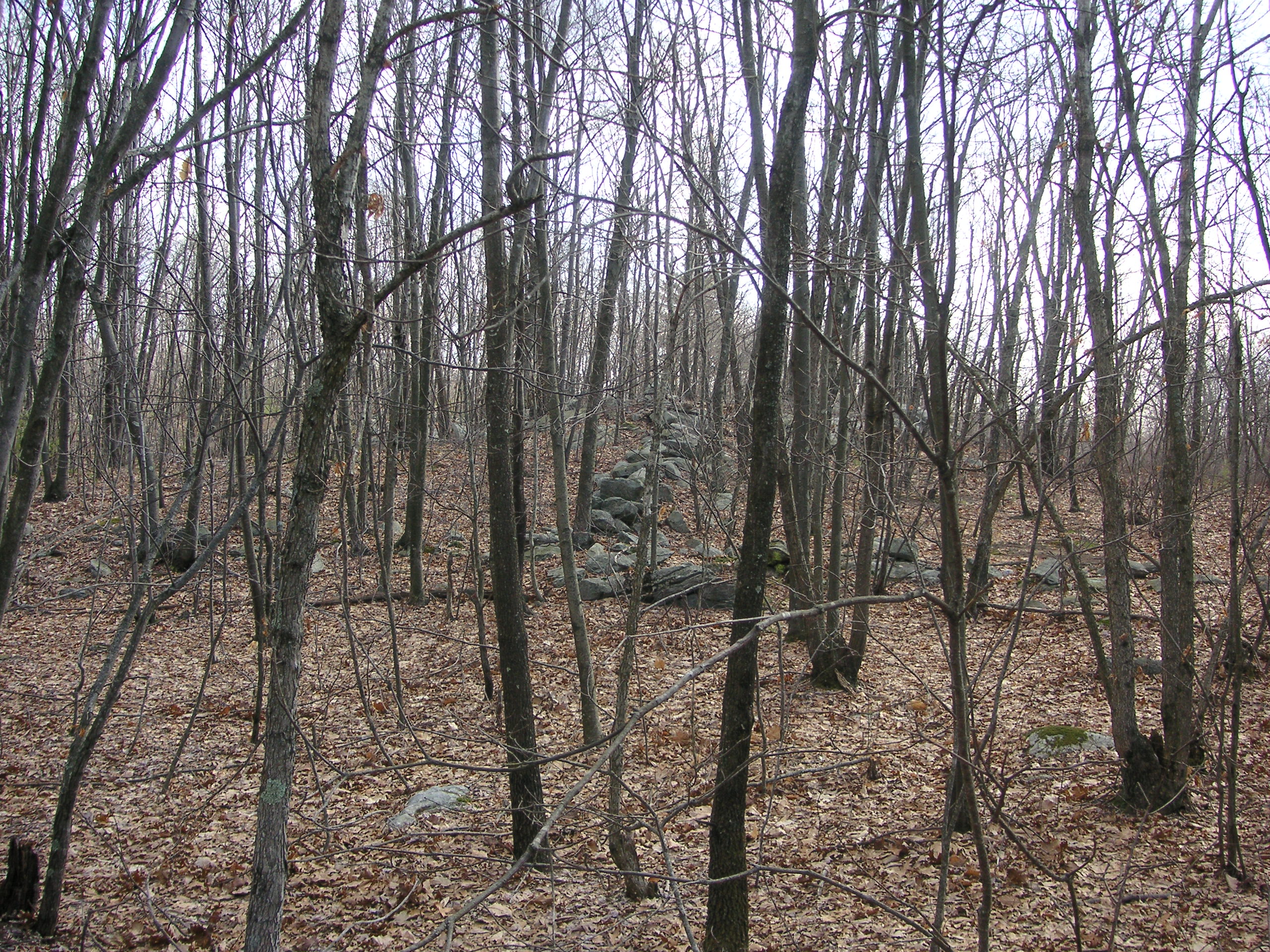
Stone walls leading up the hill away from the cellar hole.
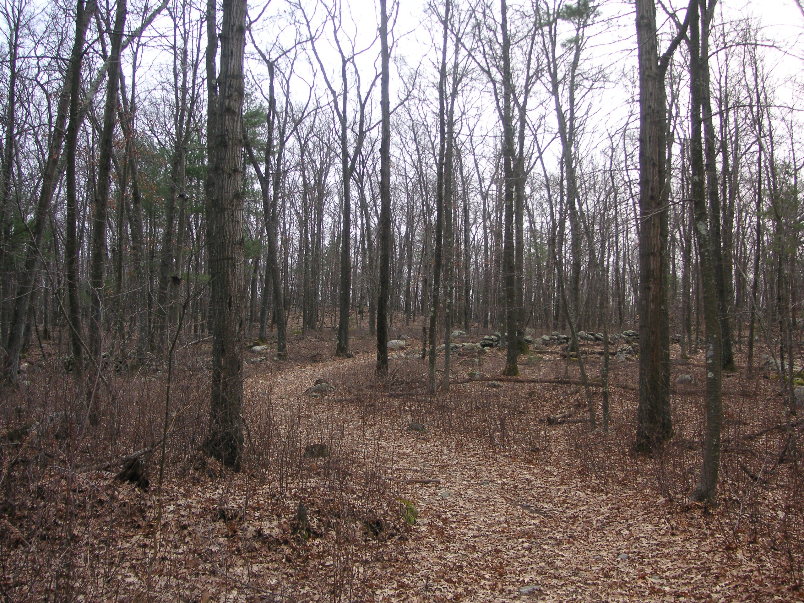
Un-named trail leading away from the Mystery Stones site and heading towards Rocky Hill Road.
Across the road from the Mystery Stones, about 50 feet into the woods, one will see a stone wall running to the south. The wall ends at a large rock, beyond which is a swamp. Another stone wall runs off toward the east from this point snaking its way op a hill leading to a large rock formation. This area, now reclaimed by the woods, was most likely used as a field for growing crops or grazing livestock.
If one continues to follow the road past the “Mystery Stones” cellar hole in a northerly direction, they will come upon other stone walls criss-crossing the woods most likely belonging to the same farm. Large areas were undoubtedly needed to successfully grow enough to support oneself. The road continues on for about another 1.5 miles and comes out near the present day water tower on Rocky Hill Road.
The Stone Bridge Farm
Before one reaches Rocky Hill Road, if they were to go into the thick wooded/brushy area on the north side of the road, they would encounter a series of thick stone walls, one of which bridges a stream. The number of walls indicates the area had been used for farming for a number of years.
Click on images to enlarge.
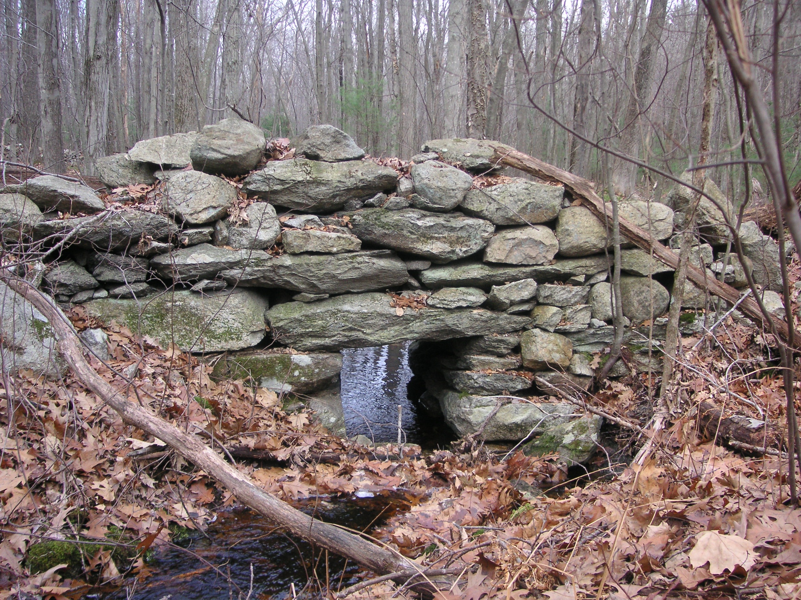
The bridge at the farm.
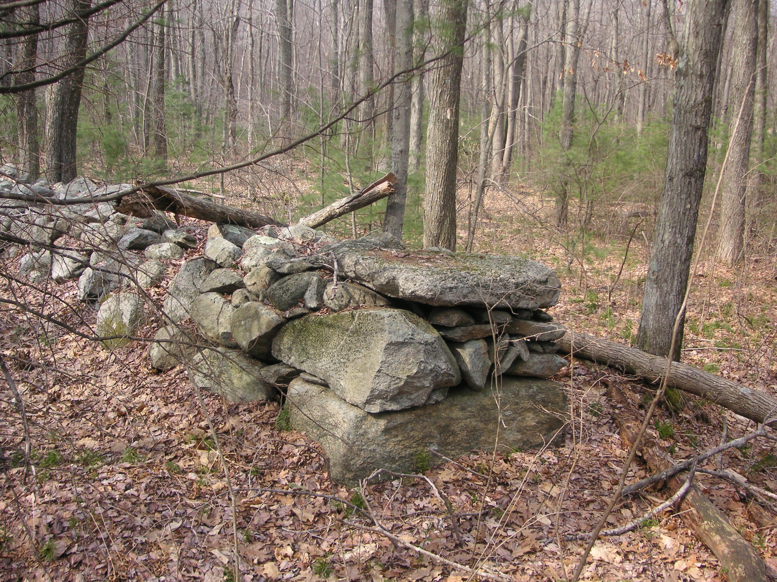
The stone walls in the area of the Stone Bridge are thicker than others found in Hanton City.
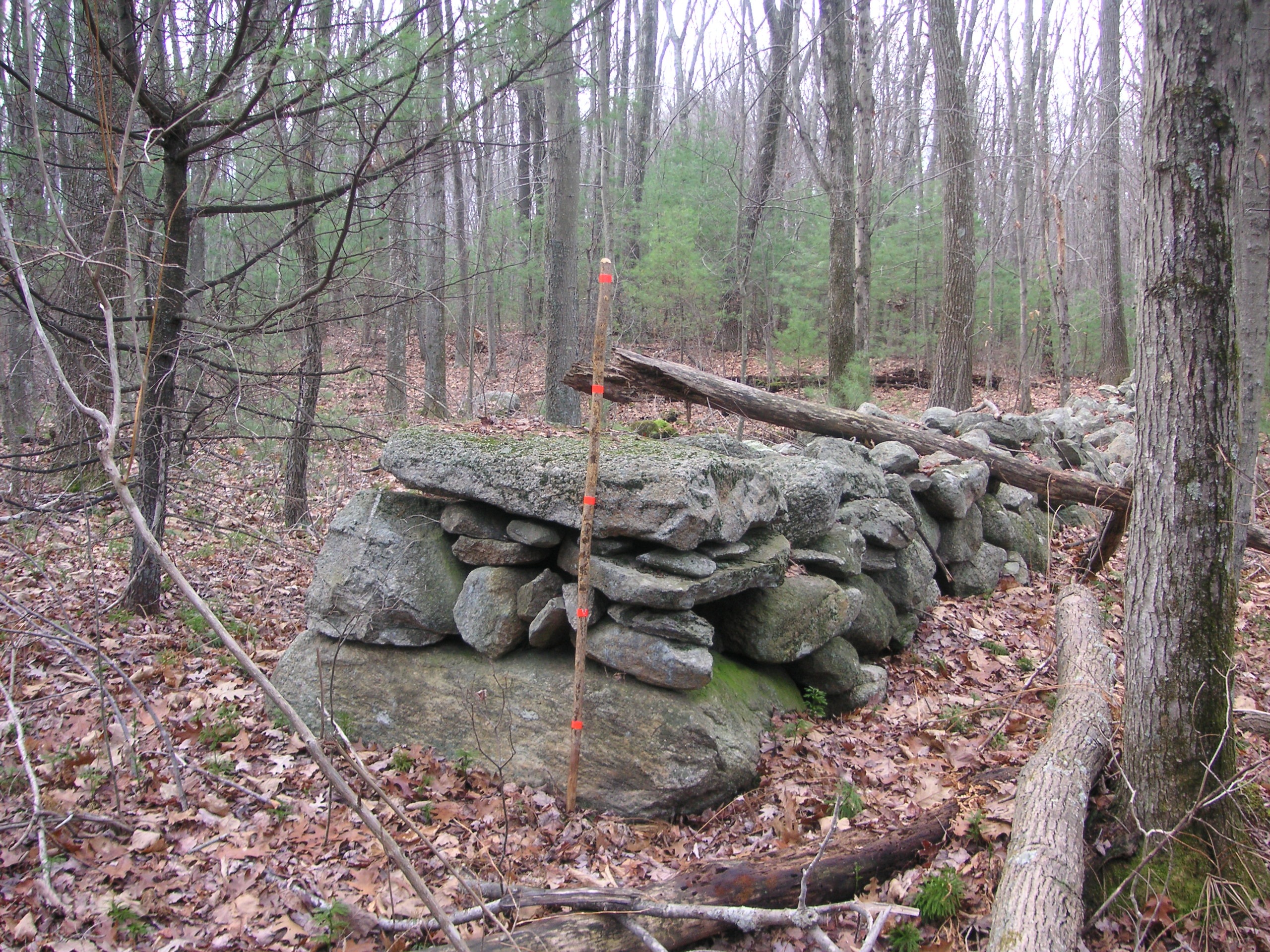
The orange marks on the stick are 12 inches apart.
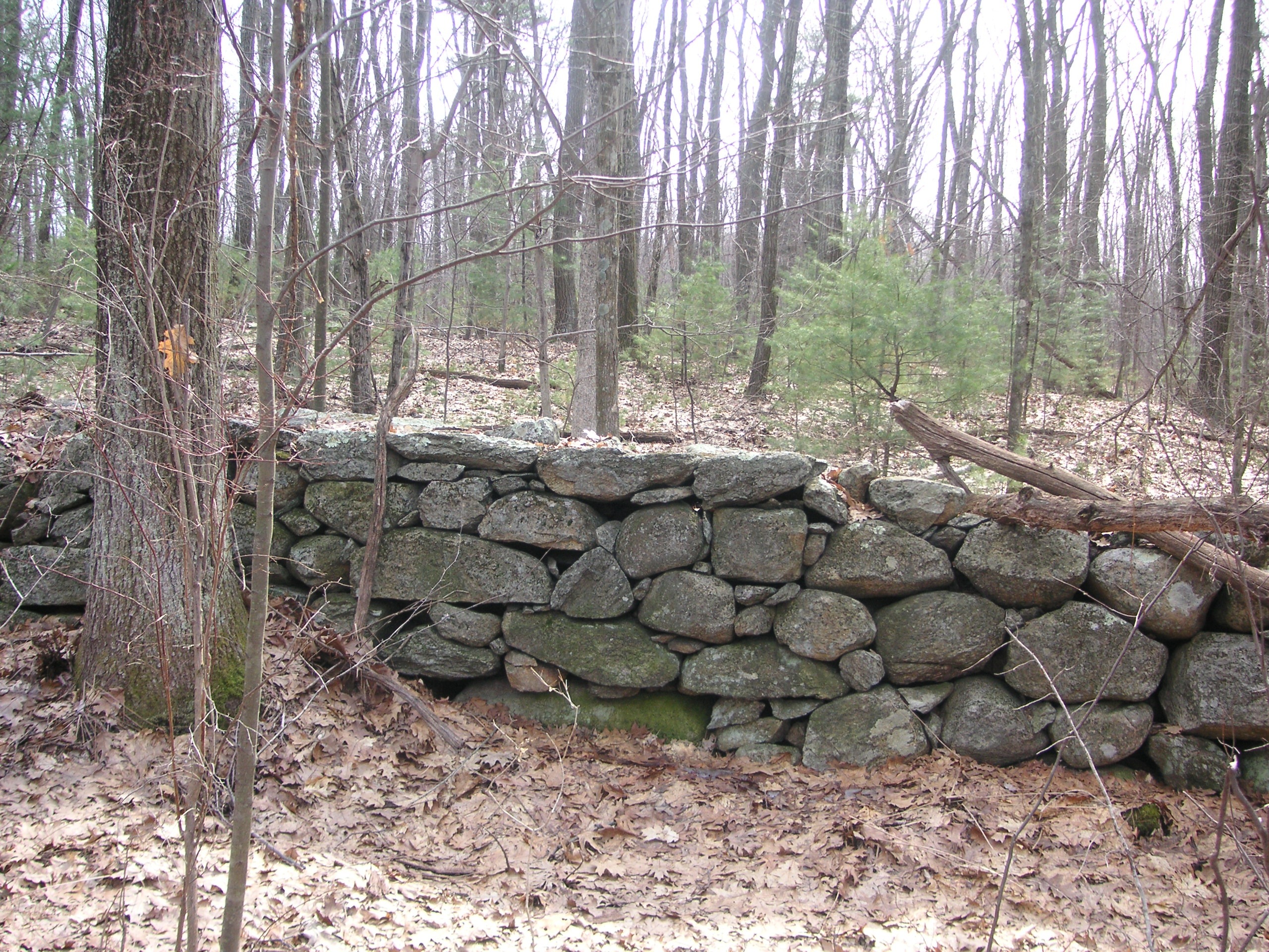
The walls seem to have a more finished look that others found in the area.
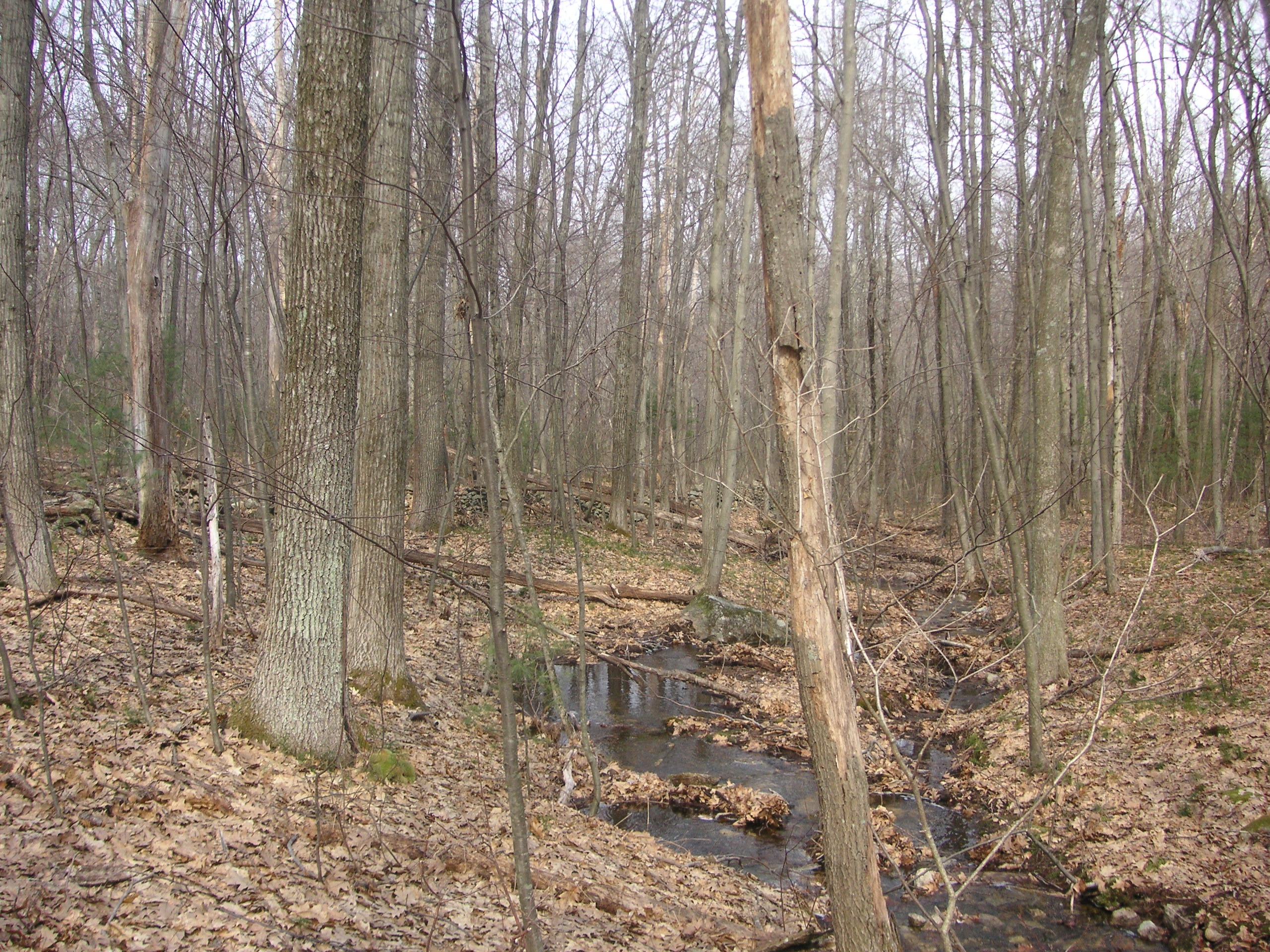
The stream running through the area away from the bridge.
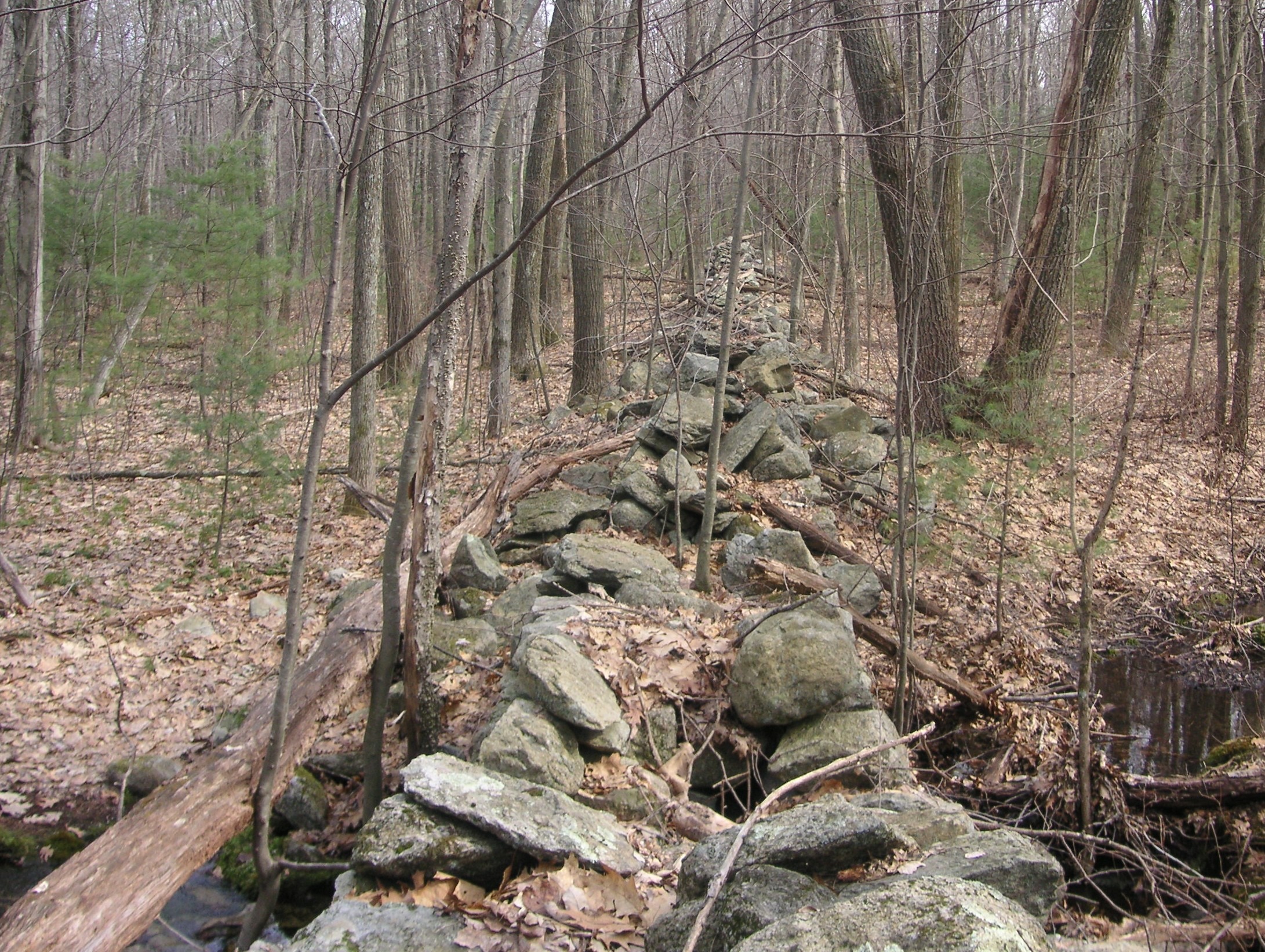
The wall leading to the stone bridge
Back On Hanton City Trail – The Chevy Farm
If one makes their way back to Hanton City Trail and goes left (away from the Ox-shoe Farm), at the bottom of the hill they might encounter the remains of a 1980s vintage Chevrolet. (This car may no longer be there as of 2026.) This area may be flooded at certain times of year as a swamp is next to the road.
At this point, on the north side of the trail one might see the stone remains of an unidentified structure. In the woods on the opposite side of the trail one will see stone walls.
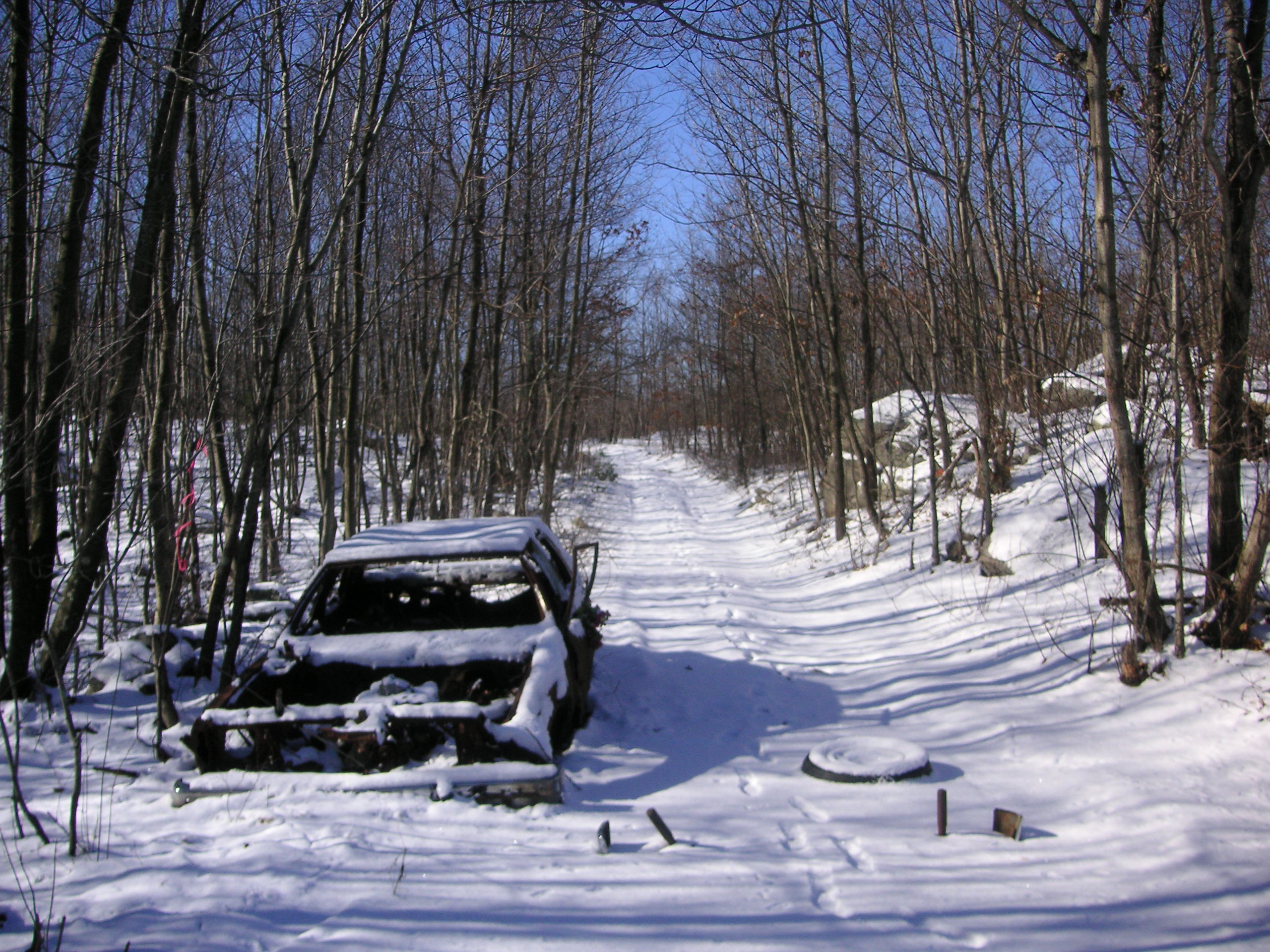
The remains of a 1980s vintage Chevrolet on Hanton City Trail – Looking west – 2004.
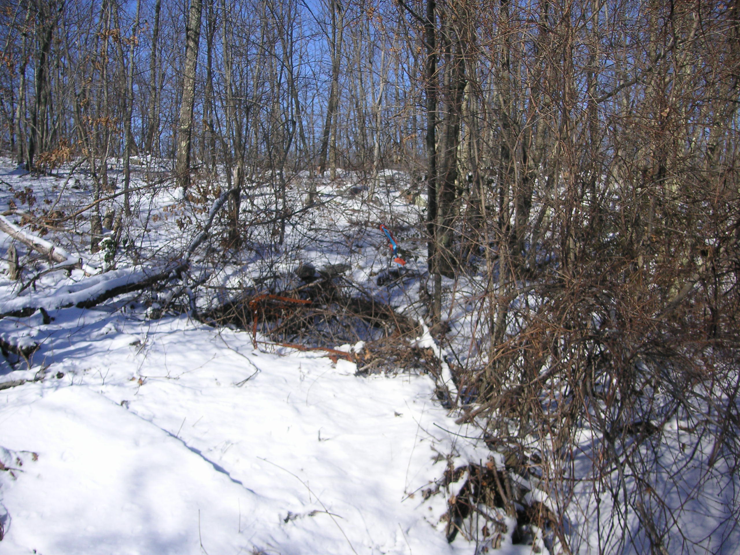
It’s hard to see in the photo, but there are the stone remains of some type of building under the brush.
To the south side of the road, about 100 feet or so into the woods, is a well that is capped by a large stone. There are also stone walls running through the area. At first glance, it doesn’t seem to make sense that a building would be constructed in such a wet area. It’s likely that the water table has been altered over the years and that the area was once much drier.
The Reservoir Road Quarry
If one continued to follow Hanton City Trail out to Reservoir Road they might find another quarry. It was located to the north side of the trail about 300 feet in from Reservoir Road.
Here one will notice several pits and numerous large granite slabs strewn over an area roughly 200ft. by 200 ft. Many of the slabs still bear the marks of where the drills split them.
Note: This quarry might no longer exist in 2026 as survey markers at the time indicated the area might be developed.
Click on images to enlarge.
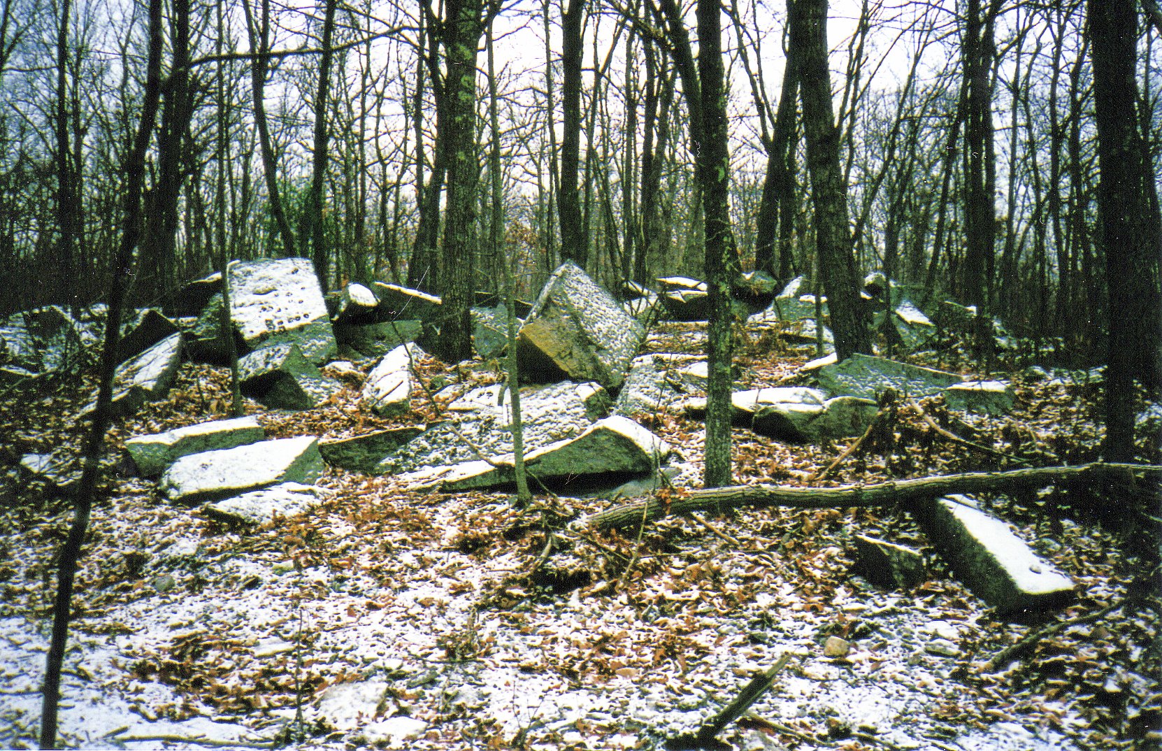
Reservoir Road Quarry
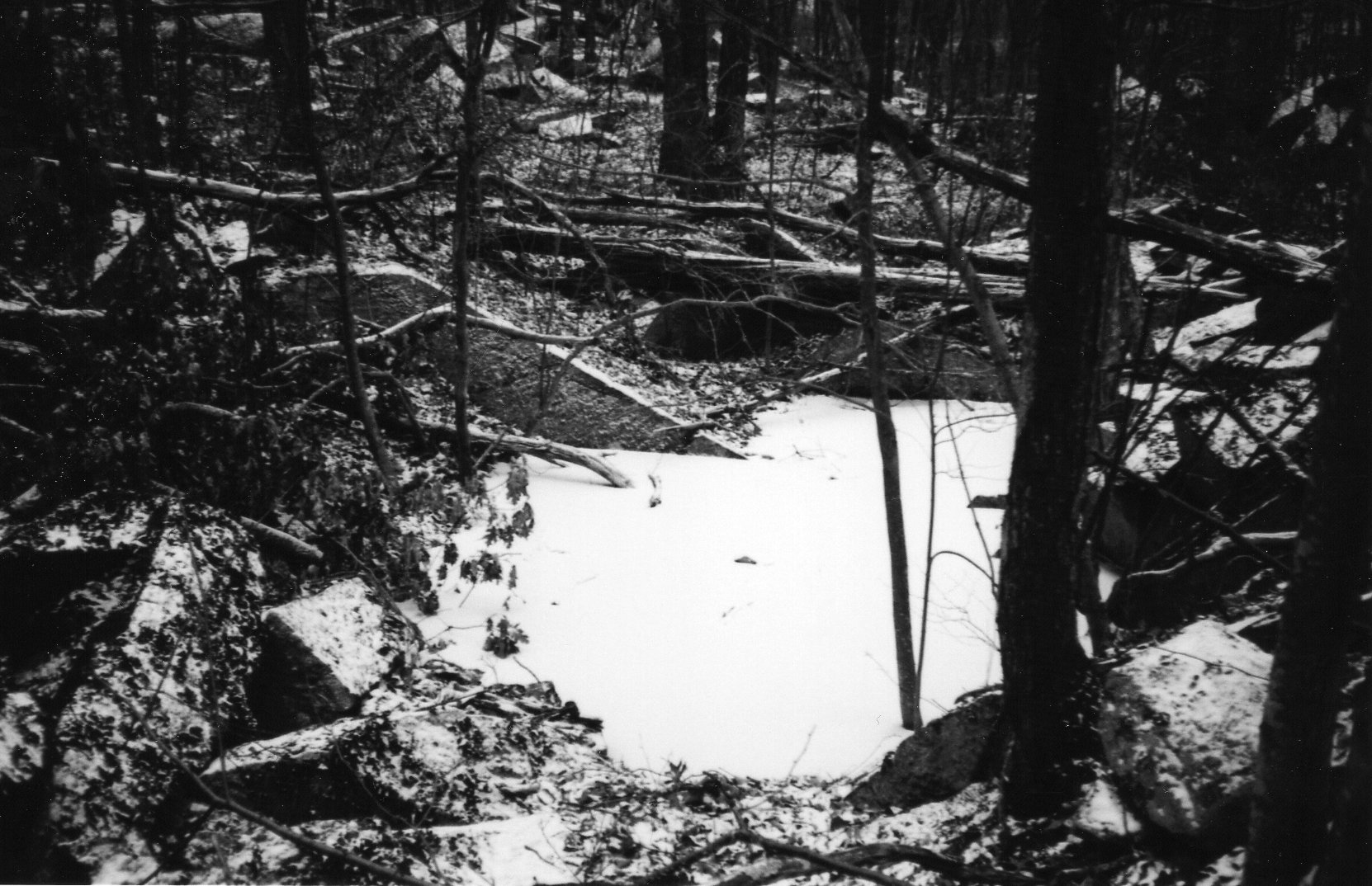
A water filled, snow covered, pit at the quarry site.
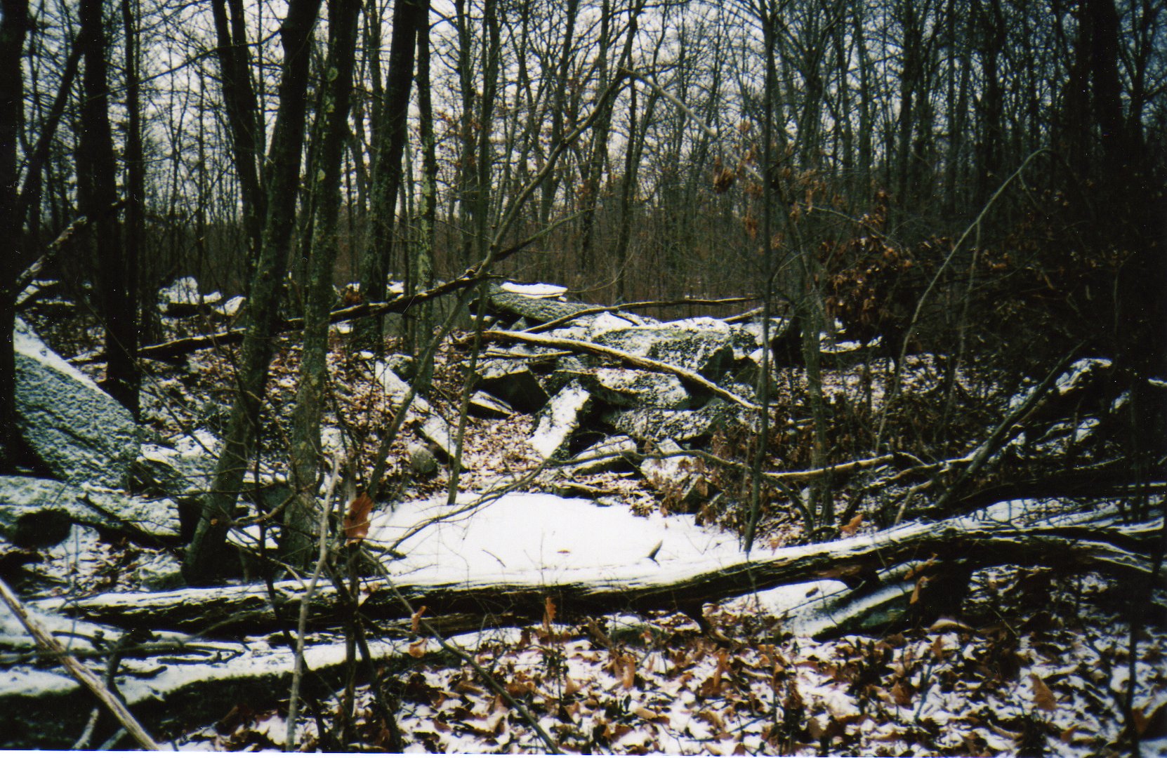
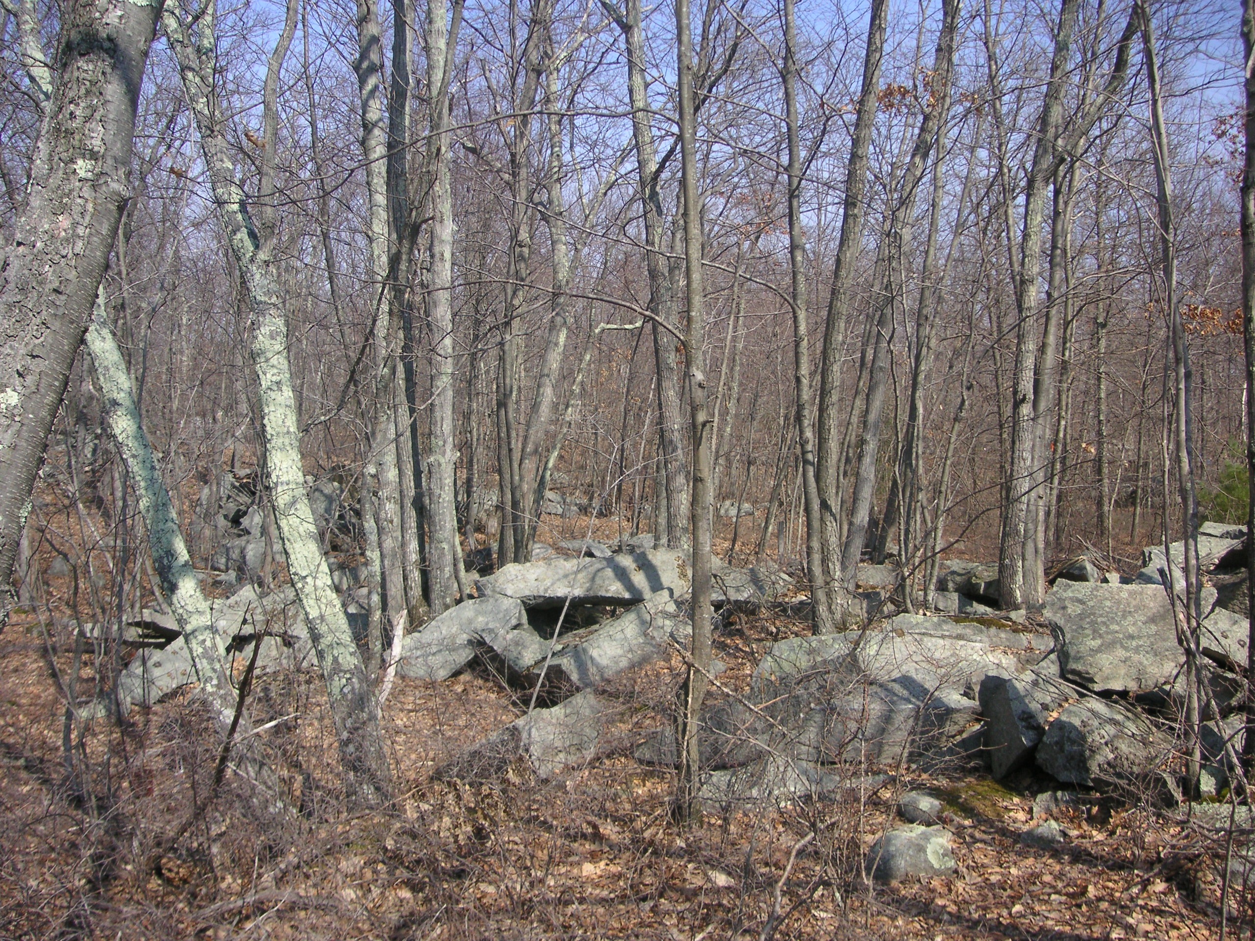
It’s unknown when the quarries in Hanton City began operation or when operations ceased. The pin and feather method of quarrying stone was popular in the early to late 1800’s. By the late 1800’s, steam-powered rock hammers came into use and they left wedge shaped marks along where the rock was split that were distinctly different than the pin and feather drill hole marks. So far, no evidence of pneumatic drilling at the quarry sites has been found.
A newspaper article that appeared in The Woonsocket Patriot on October 6, 1871, page 2, col. 6, stated the following;
“A probably fatal accident happened on Monday to Edmond Coffee, an Indian, who was driving a load of granite from Smithfield to Providence. After he reached that city he fell in front of the wheels of his heavely loaded wagon, and was run over. The lower part of his face was crushed. He was taken to Rhode Island Hospital.”
Although there’s no indication that Mr. Coffee was coming from a quarry in Hanton City, it is proof that there were some active quarries in Smithfield at that time.
The Brown Farm
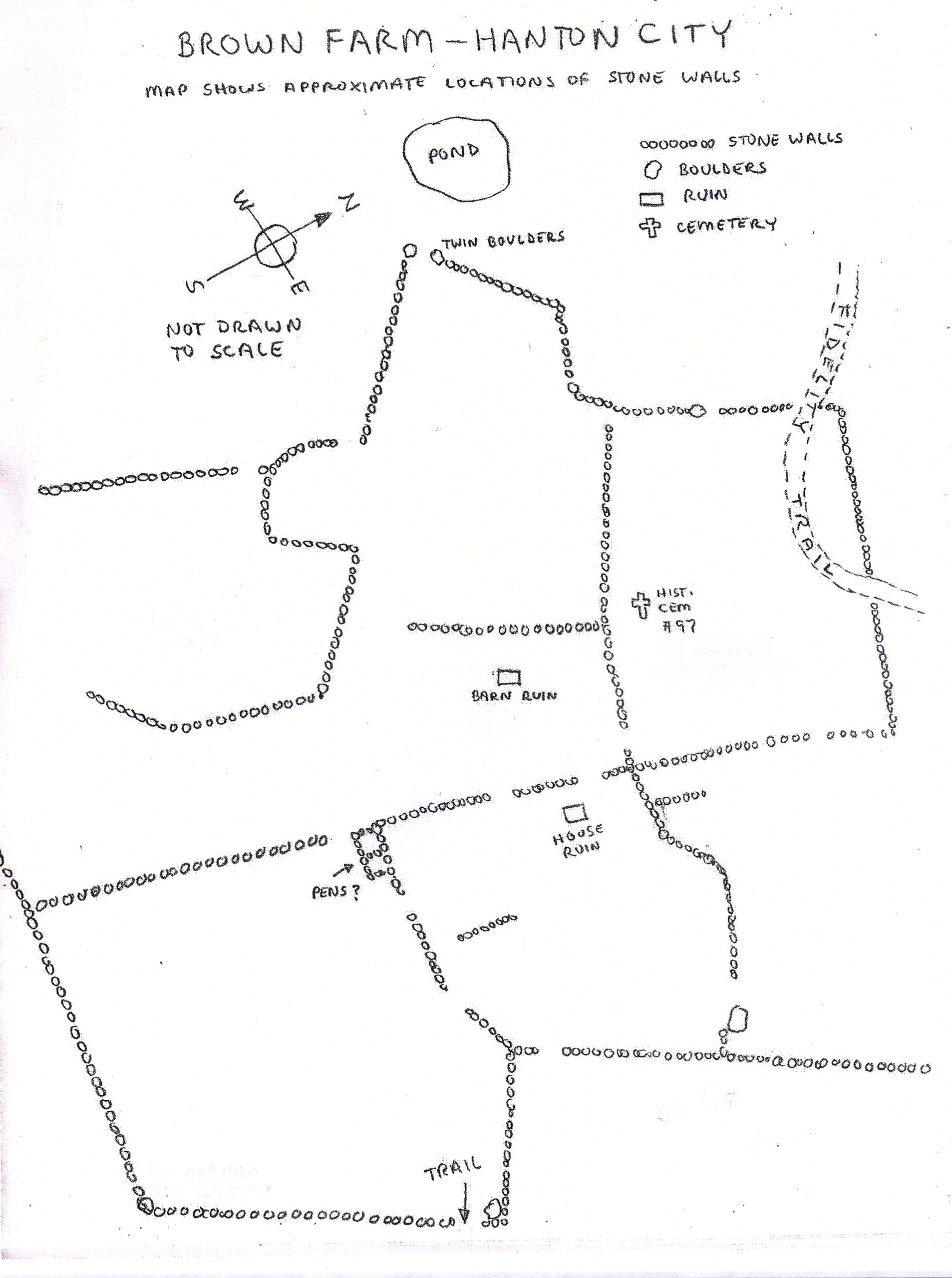
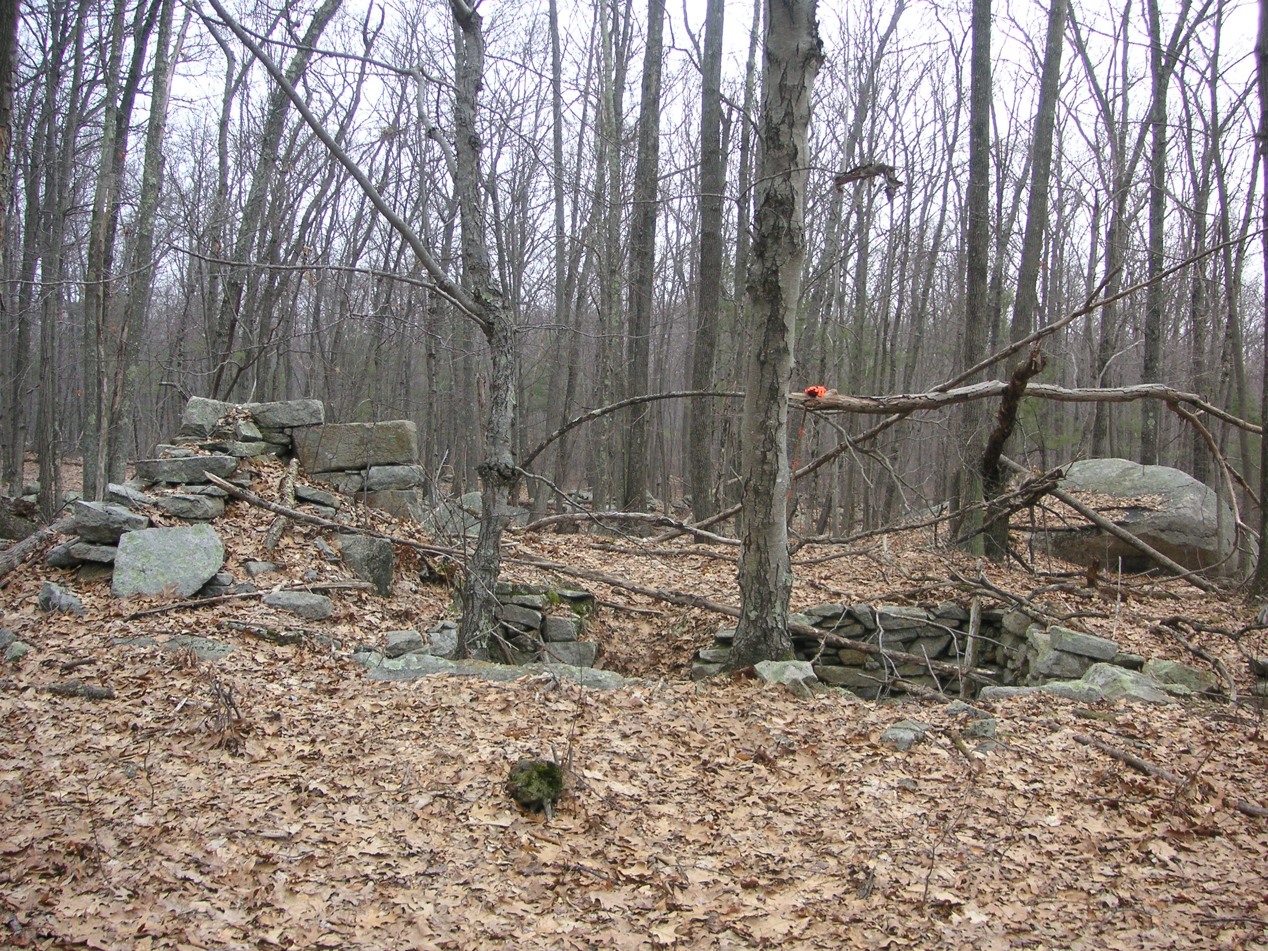
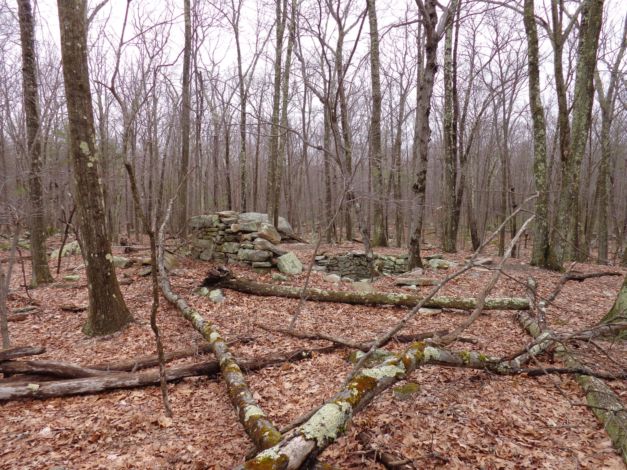
Much deeper into the woods, on the far side of Cedar Swamp, lie the ruins of the Brown Farm, consisting of three cellar holes, numerous stone walls, and a graveyard. This is perhaps the largest surviving farm site in Hanton City, and it was probably one of the largest when Hanton City was in its prime.
Click on map to enlarge.
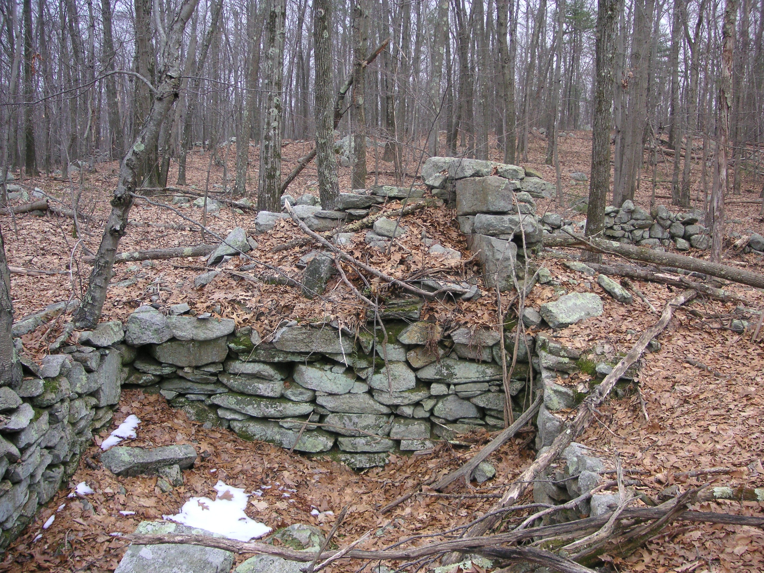
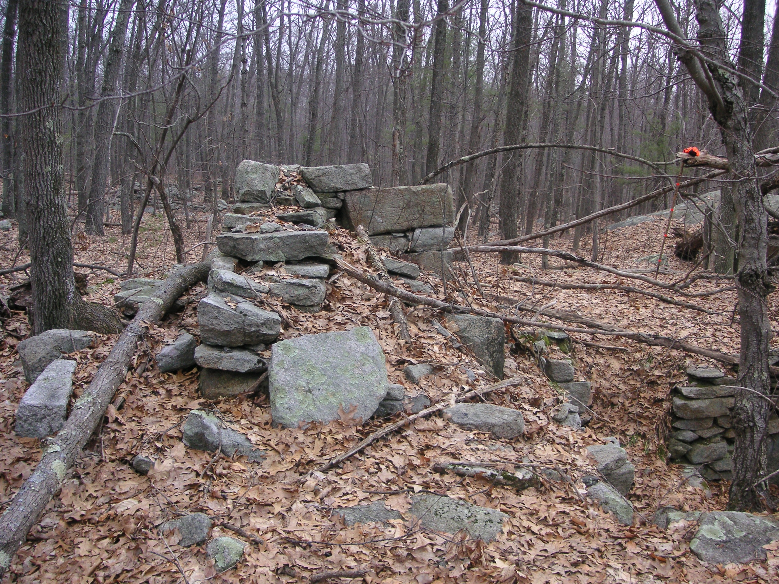
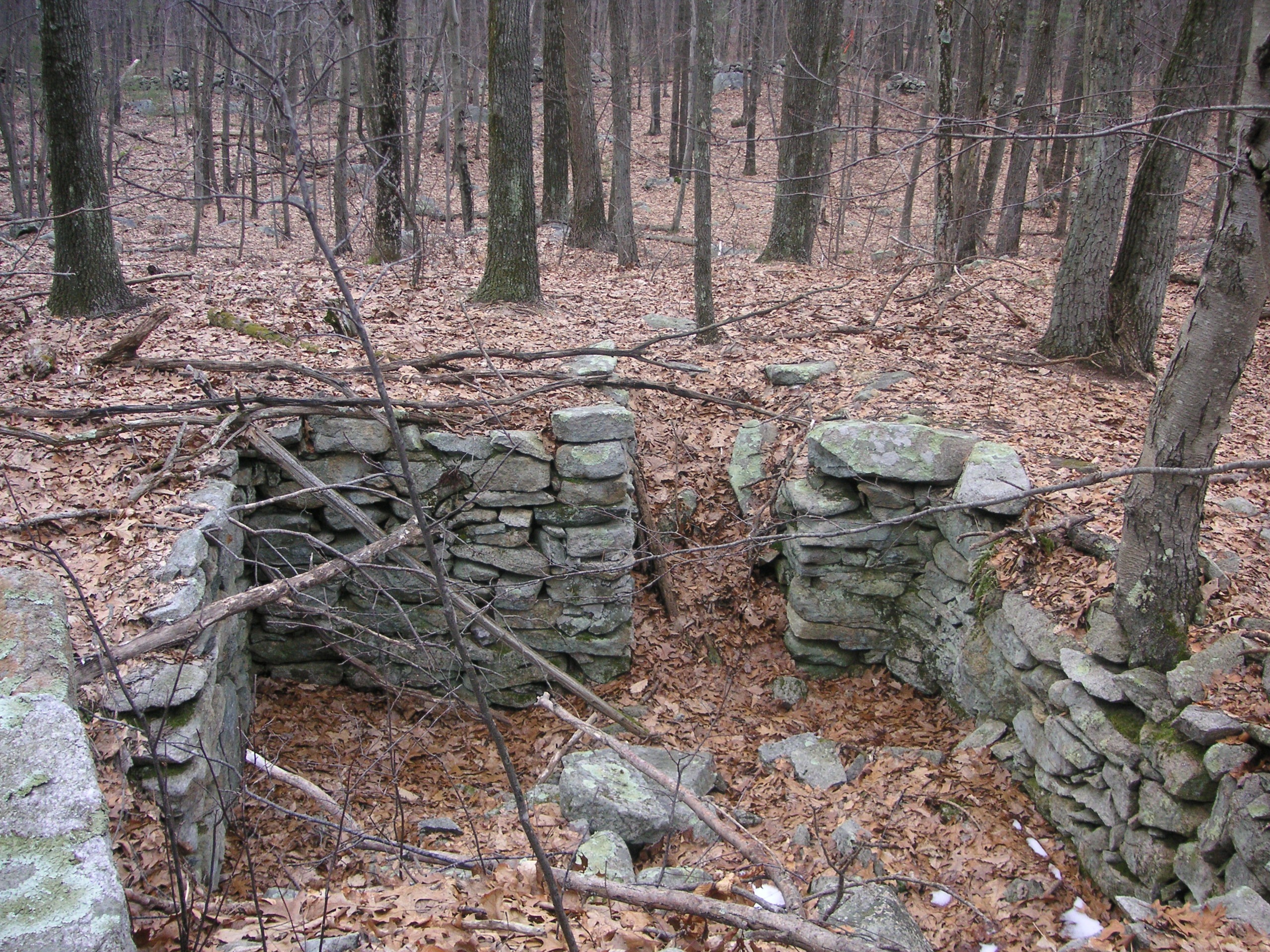
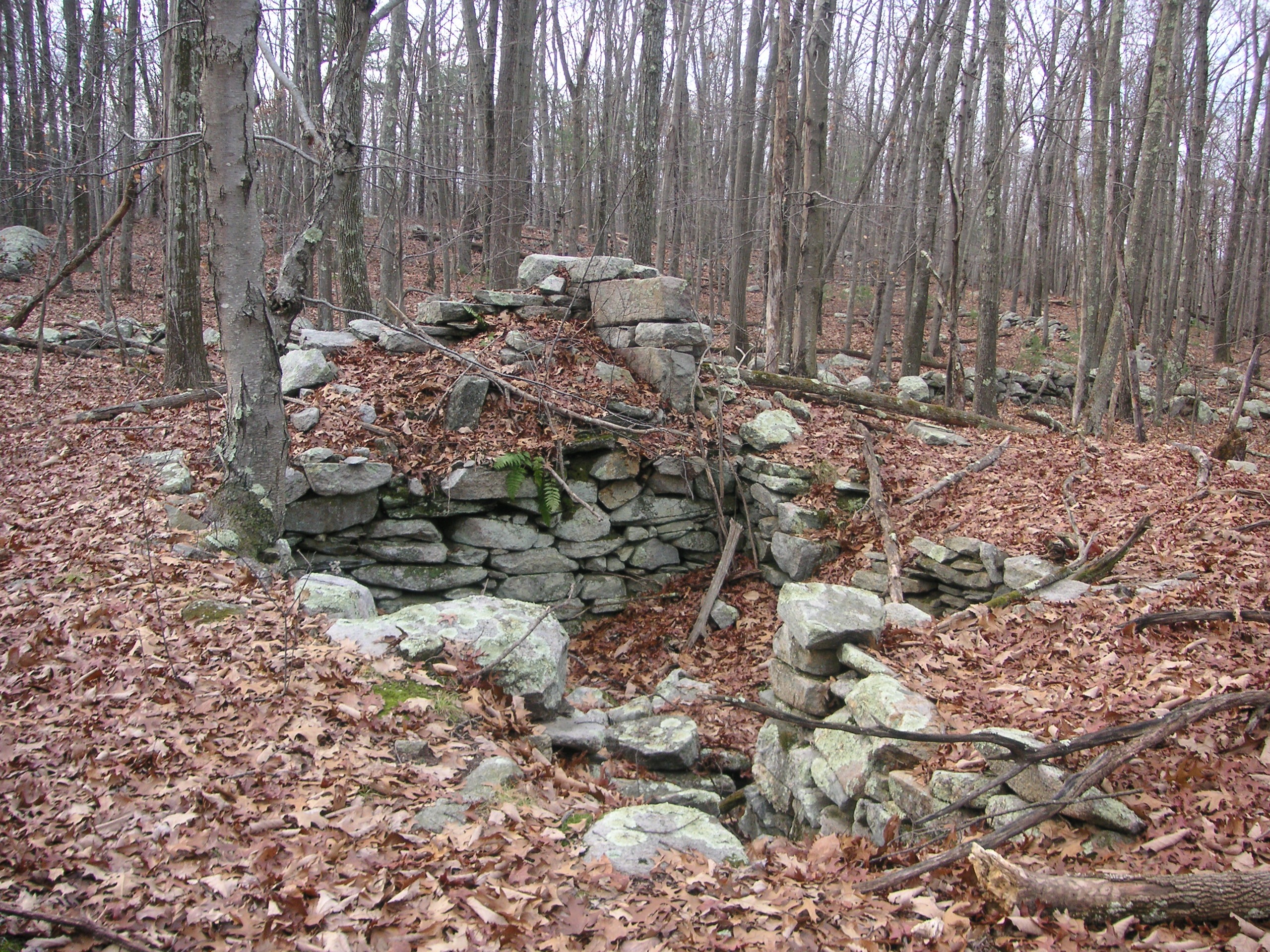
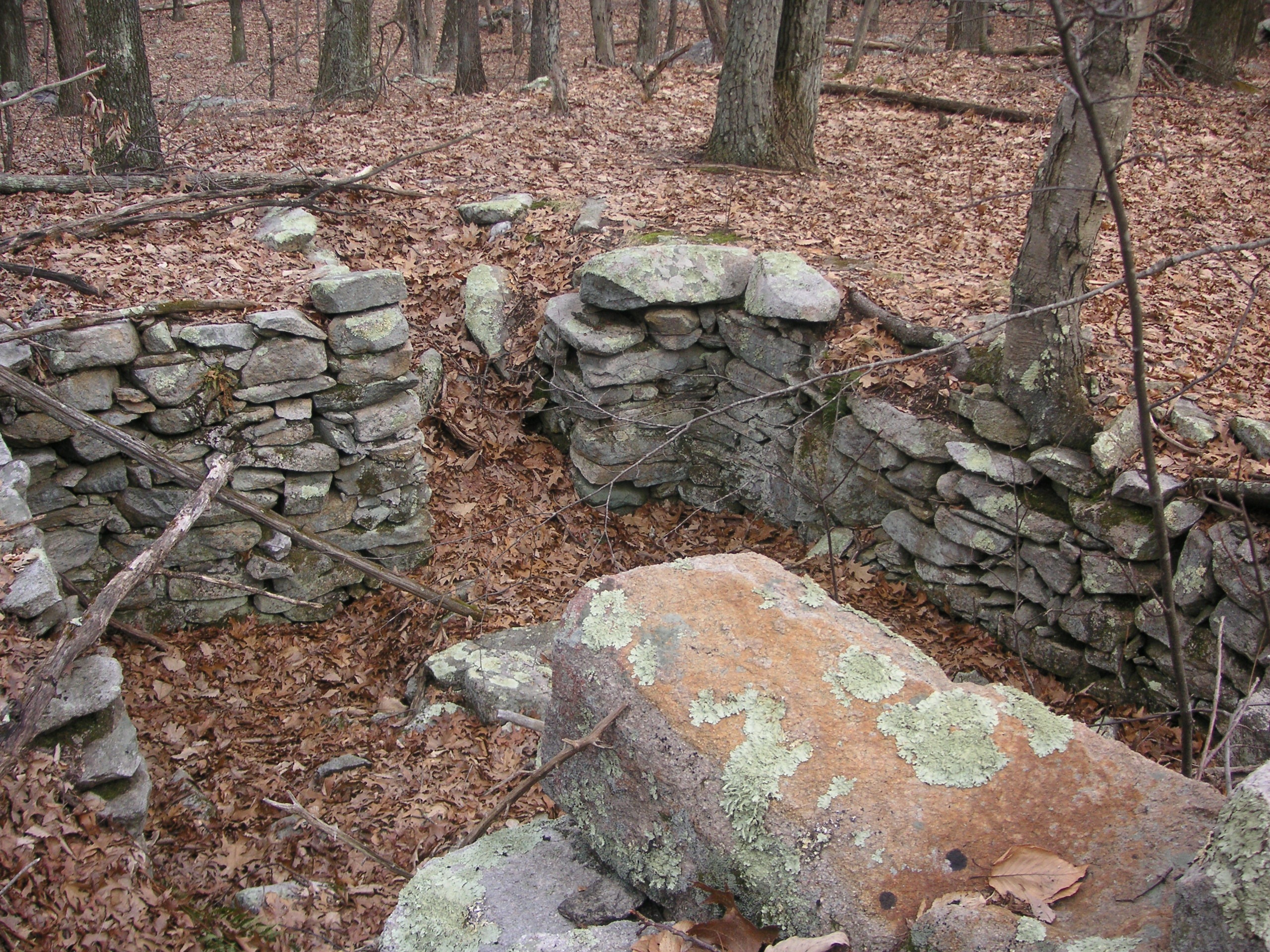
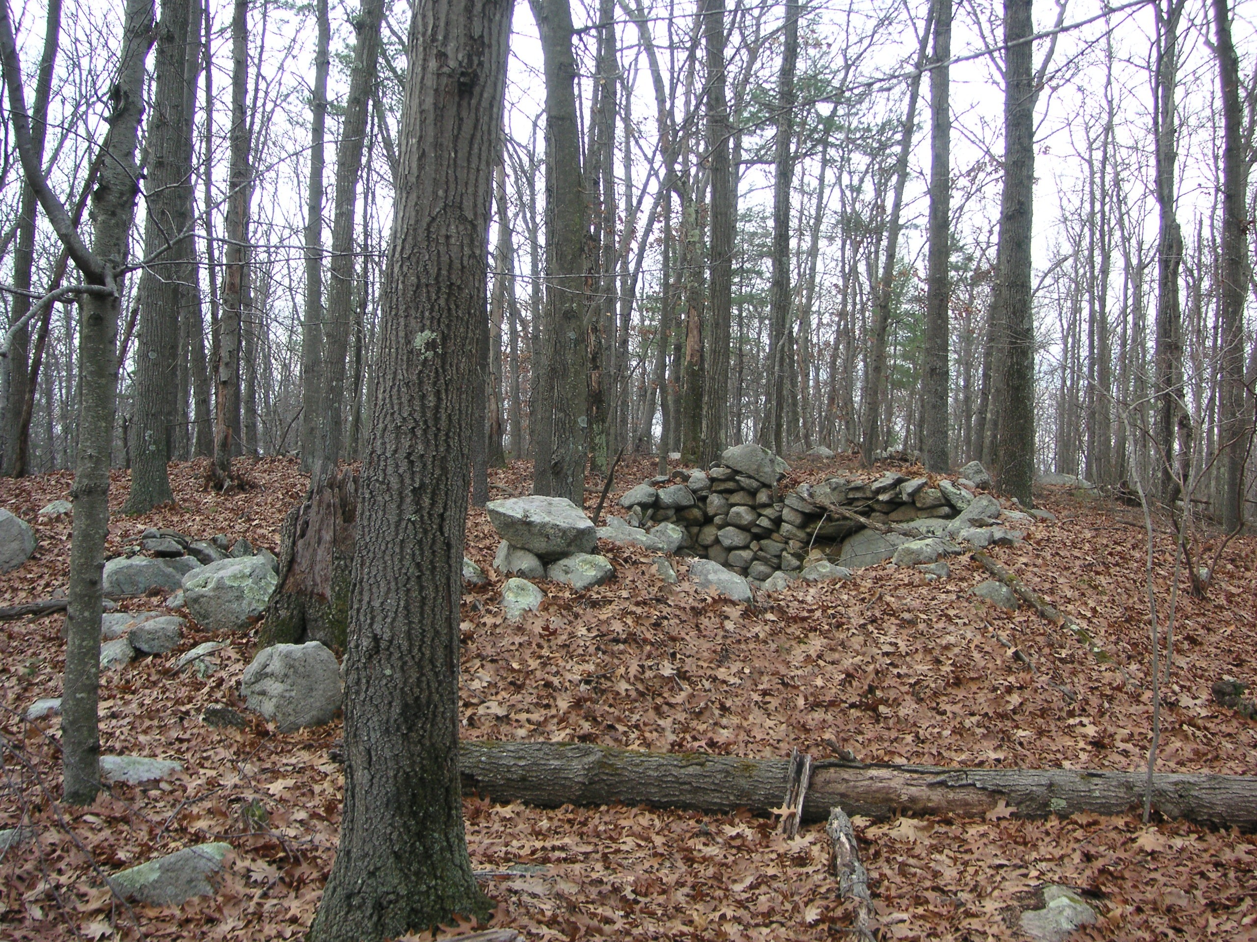
In looking at the cellar hole where the main house once stood, one will note the remains of what was once a large chimney, well built, indicating great skill in working with stone. The size of the stones indicates that some type of derrick was probably needed to set them in place. Even today, this would be a formidable task.
Click on images to enlarge.
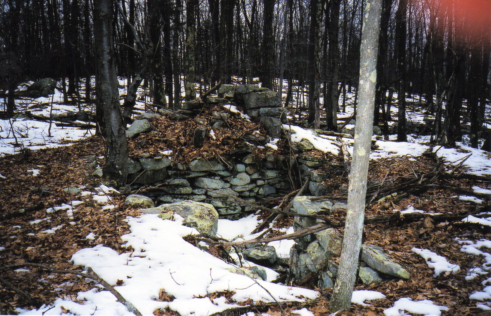
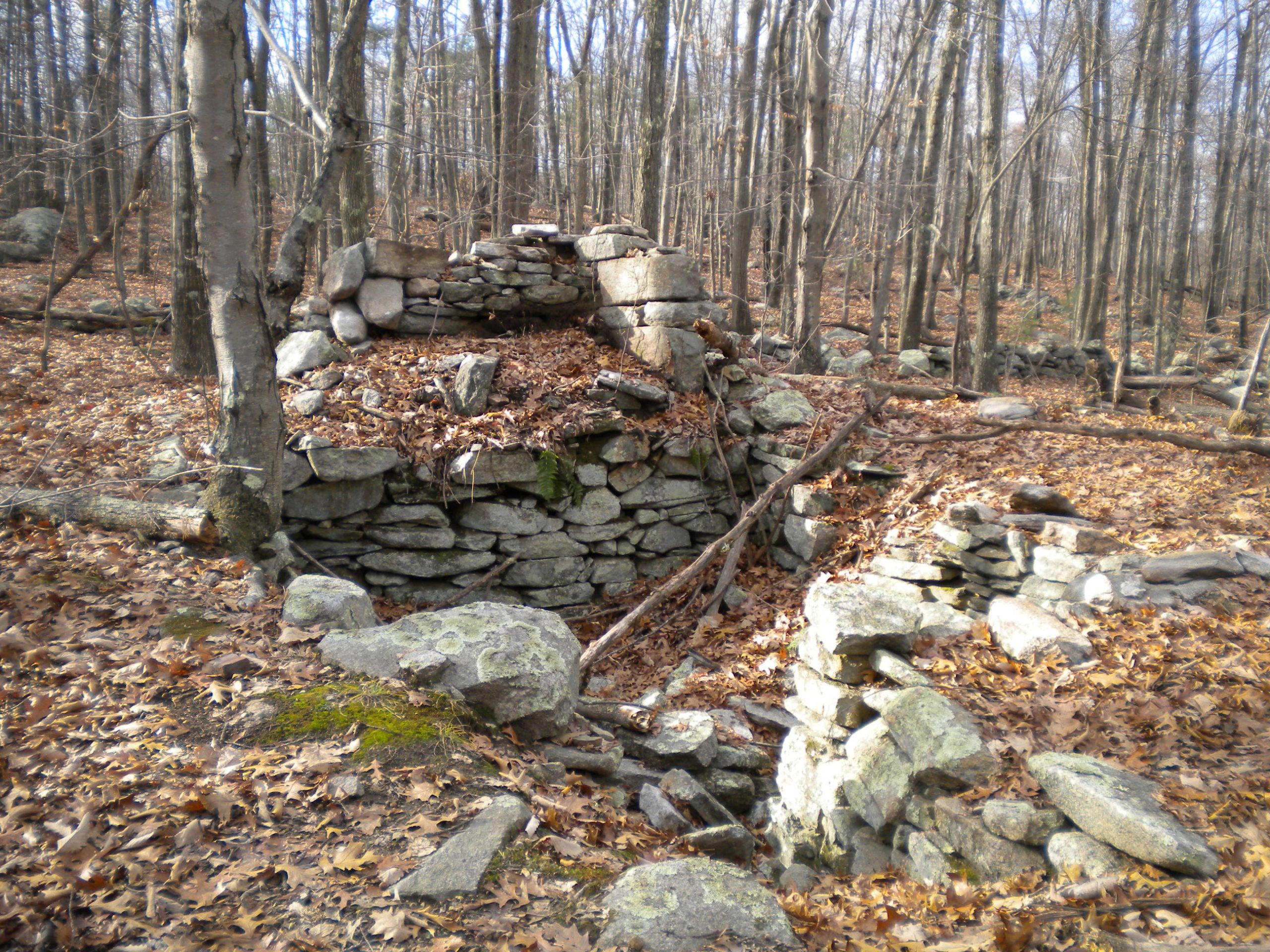
Front view of the chimney remains at the Brown house.
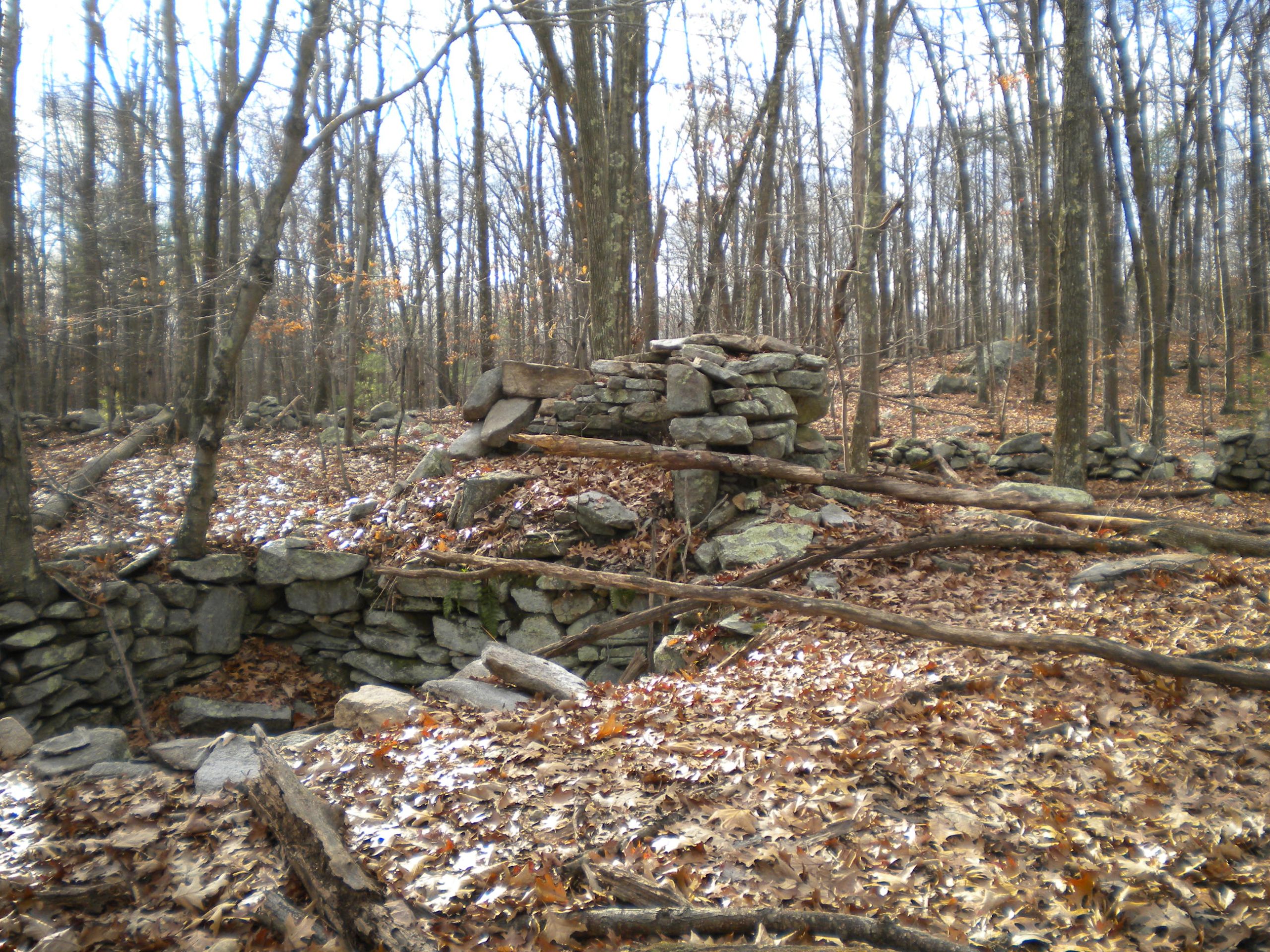
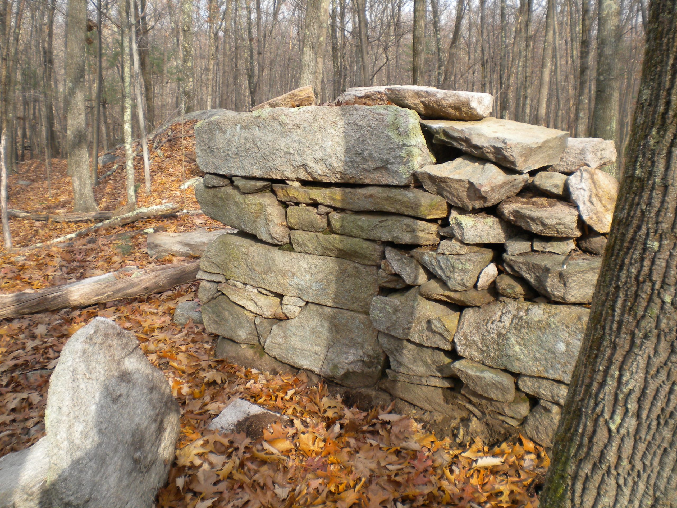
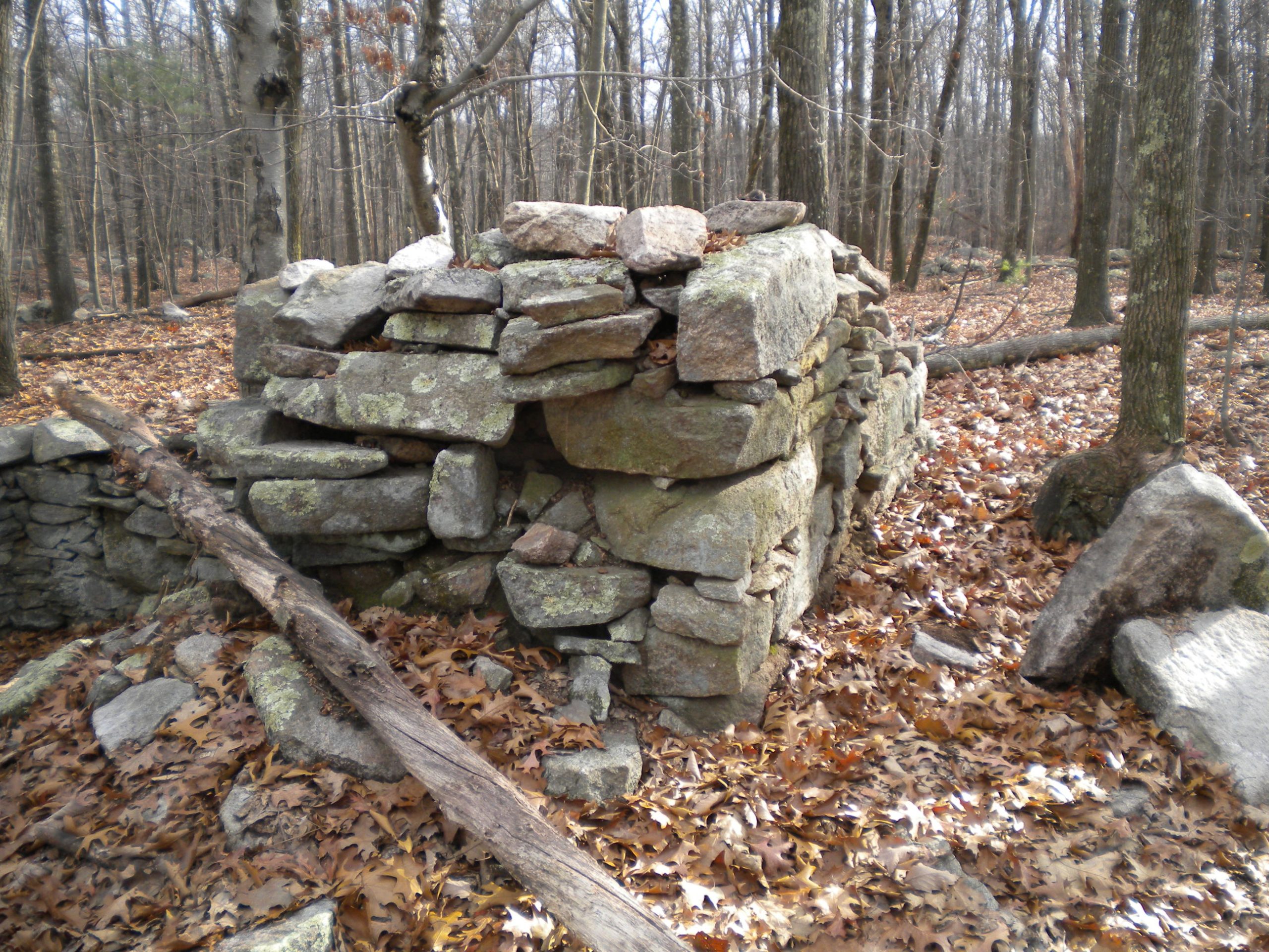
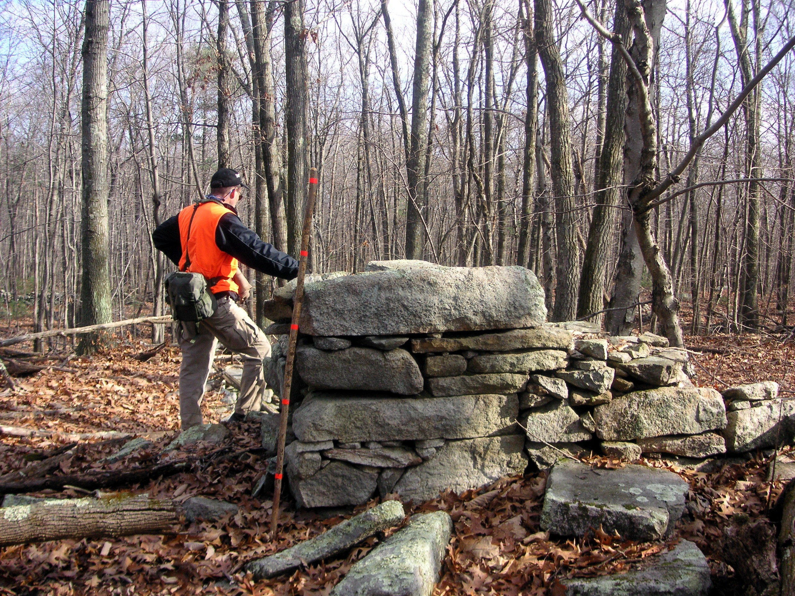
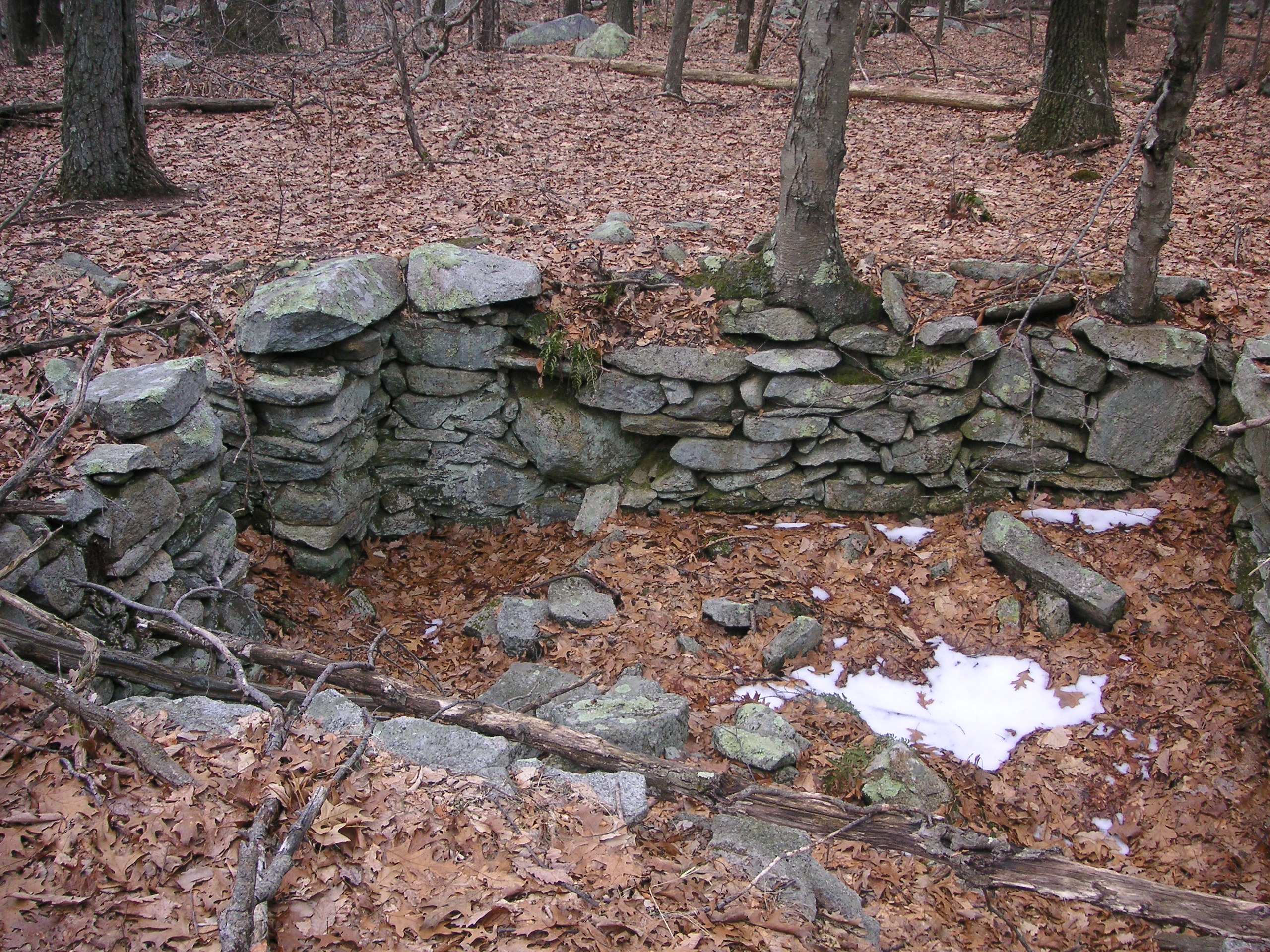
The cellar hole to the Brown house.
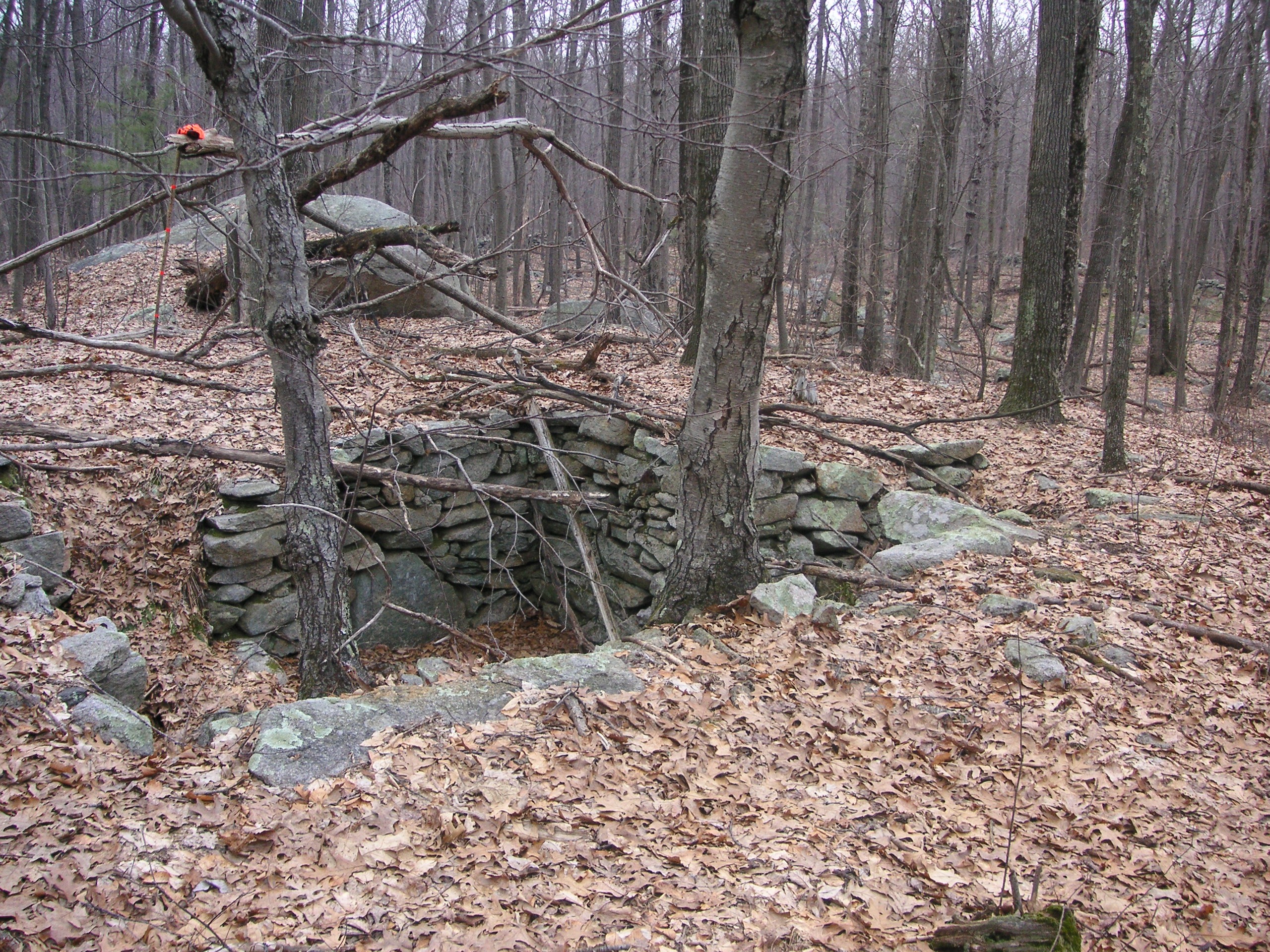
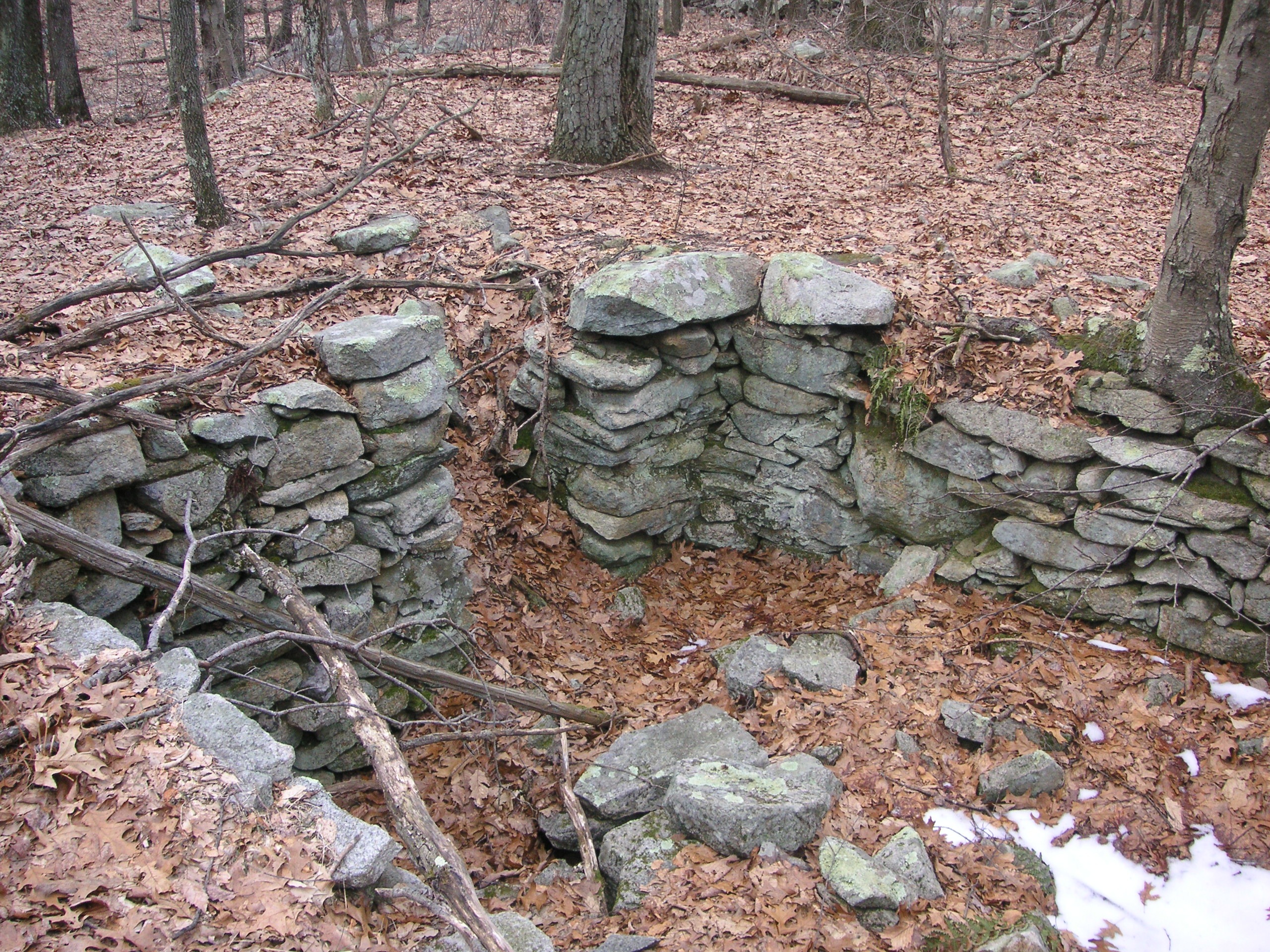
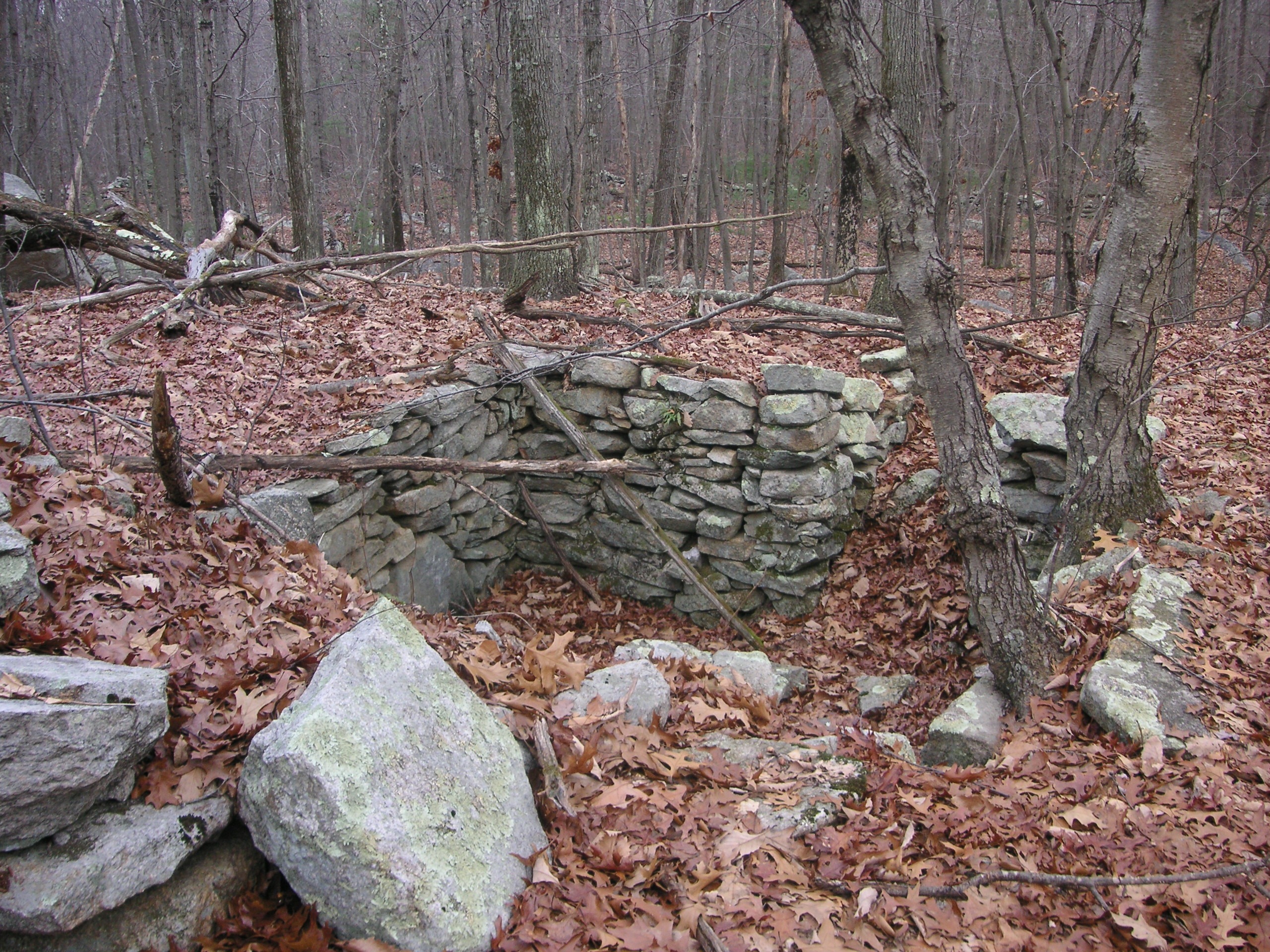
Looking down from the chimney.
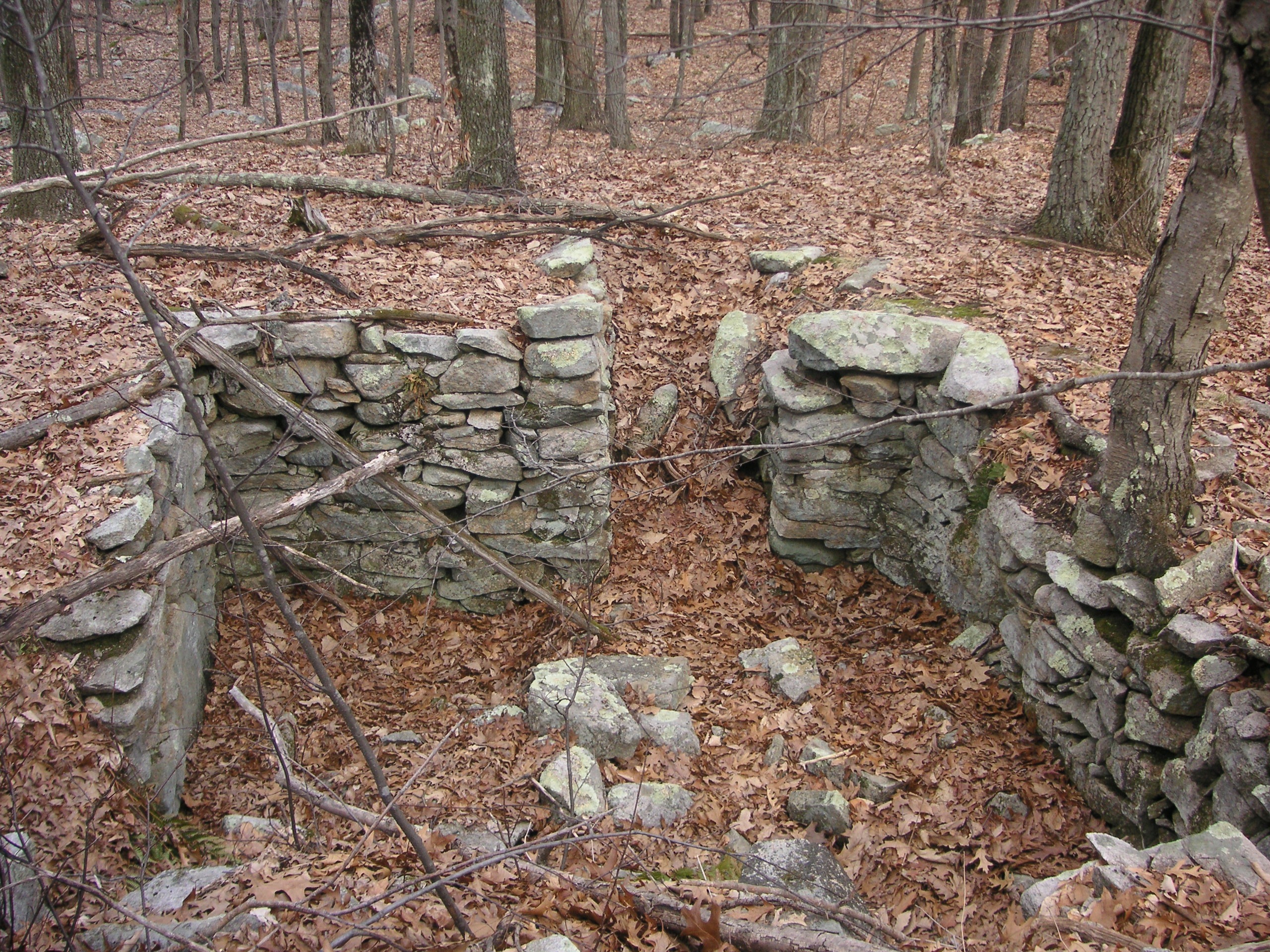
Looking down from the chimney.
Looking down from the chimney.
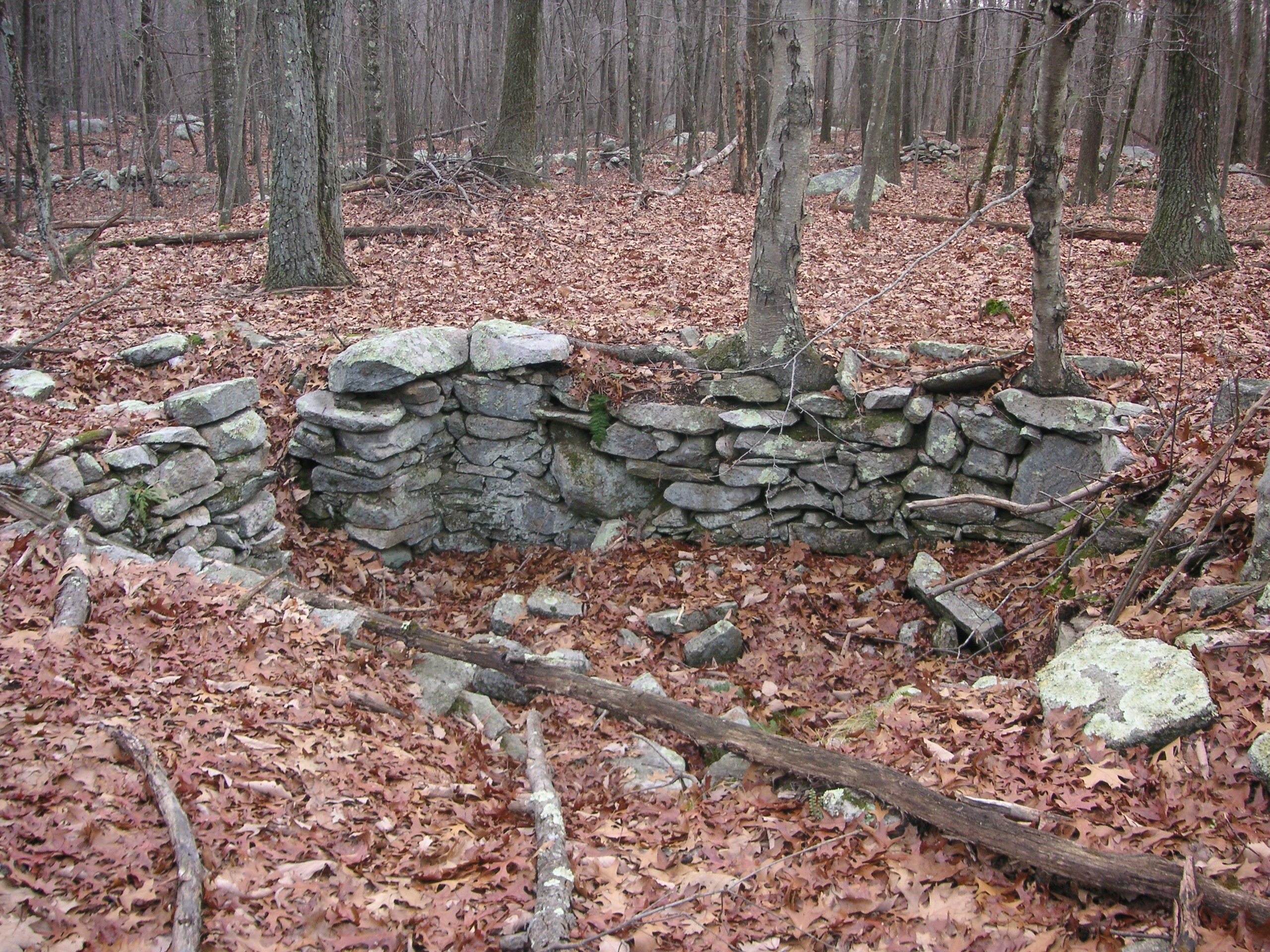
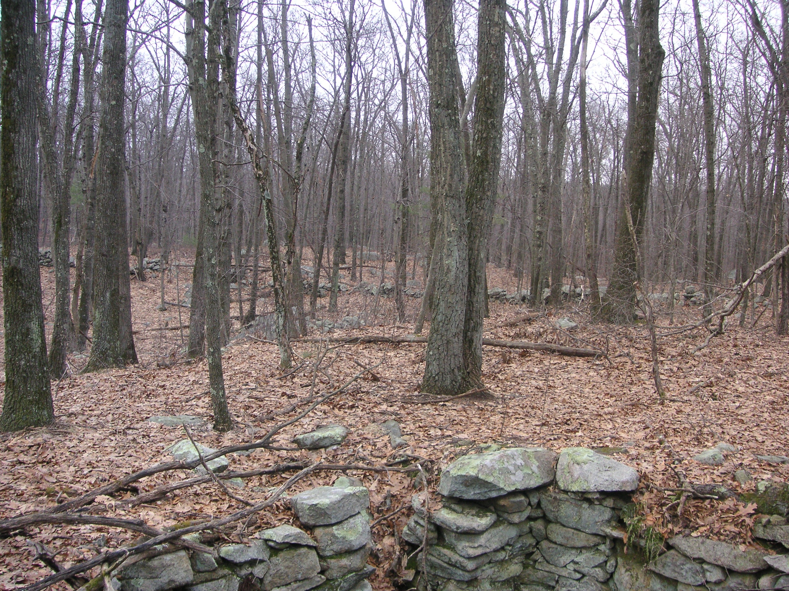
Like at other sites, the size of the cellar hole only tells part of the story. If one looks carefully, one can still see the earthen berm indicating where the outer walls of the house would have been, thus showing that the actual home was much larger than the cellar hole would indicate.
The cellar hole was most likely under the kitchen portion of the house. One can clearly see where the stairway leading down into it was. These cellars were the refrigeration of the day because the underground temperature was a consistent 50 to 54 degrees F which made stored food last longer.
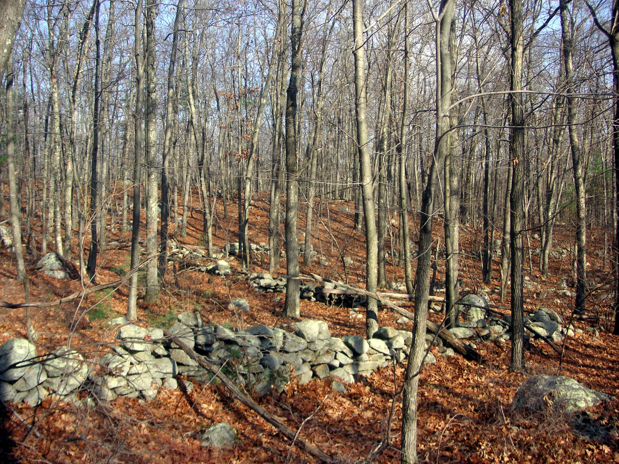
A view of some stone walls at the Brown Farm.
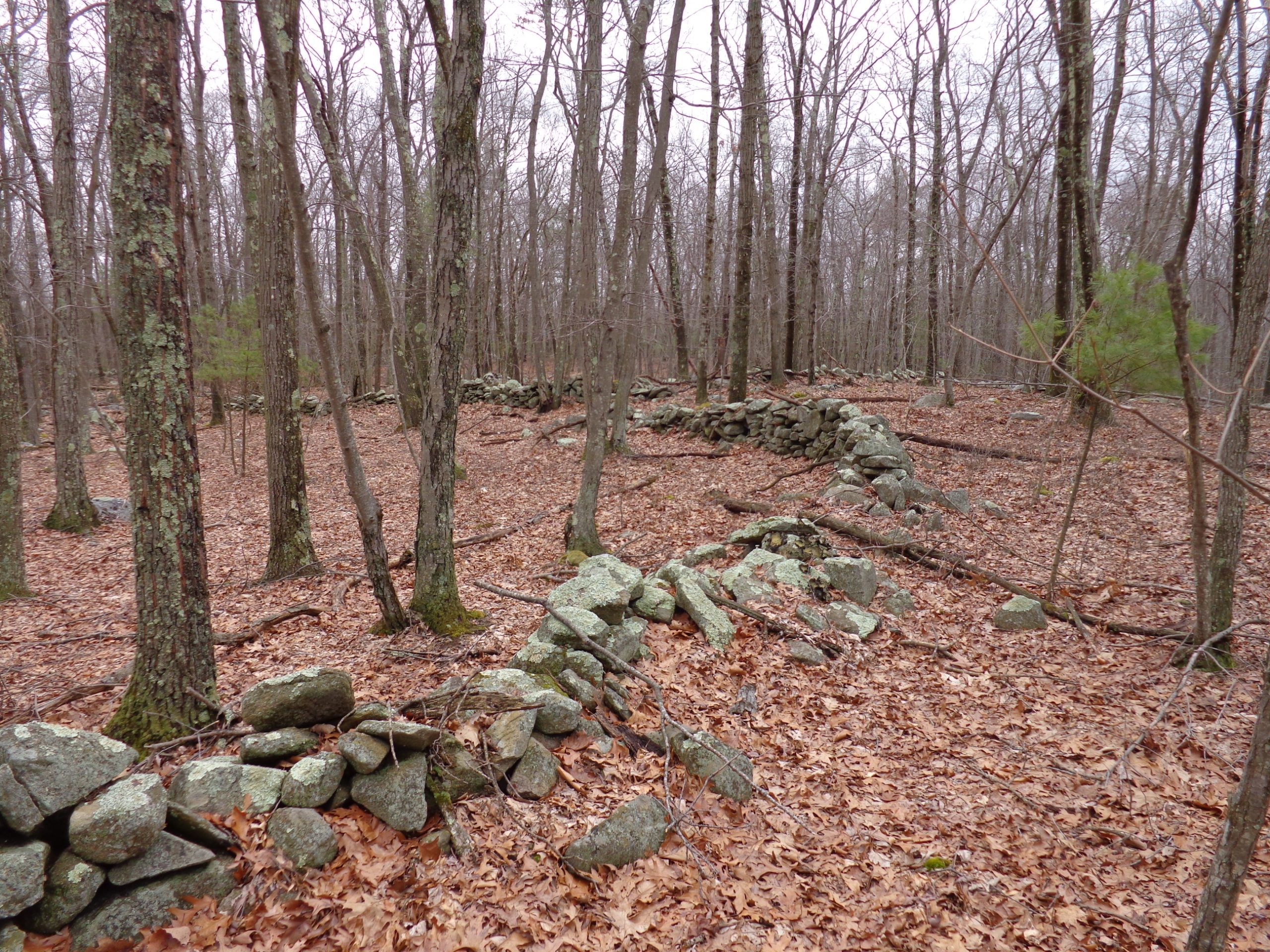
More Stone walls at the Broun Farm.
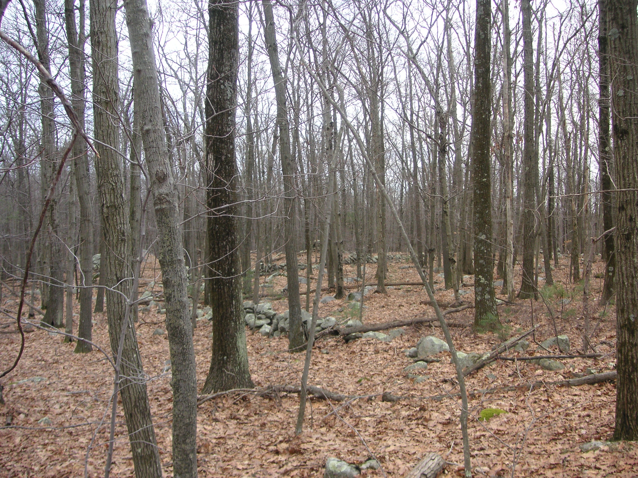
One thing that early settlers used to have in addition to Quilting Bee’s was Stone Bee’s. At a Stone Bee, neighbors would come over and help a farmer build stone walls or structures. Help was needed due to the size and weight of some stones that had to be moved. The farmer in turn, would attend a Stone Bee at his neighbors. In this way, the farms got built. Large stones were hauled into position with oxen and “stone sleds”.
To one side of the cellar hole, one will see a huge boulder located a few feet away. On one side of this boulder, the side facing the house, is a small foundation about 4 by 5 feet square. It’s unknown what this was used for, but it seems just the right size for a privy or a shed. On the opposite side of the rock, one will see a dug out hole, roughly square in shape, with its sides caved in. It’s most likely the remains of another small structure that used one side of the large rock as a wall.
Nearby is Smithfield Historical Cemetery #97, a.k.a., the Brown Family cemetery. This is the only known cemetery located directly in Hanton City. The cemetery has 12 to 15 stones, all nothing more than upright field stones set in an orderly pattern. Two of the stones have crude inscriptions carved in them, the others are all unmarked. The first stone reads, “A.B.” and the date “1774”. The second, next to the first, reads, “D. B.” followed by “May 1784”. Both stones lie next to each other as would a husband and wife. This sets the earliest confirmed date that the family lived there as 1774.
Click on images to enlarge.
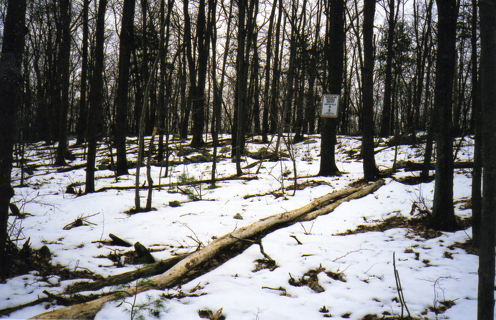
The cemetery is marked with a white sign attached to a tree.
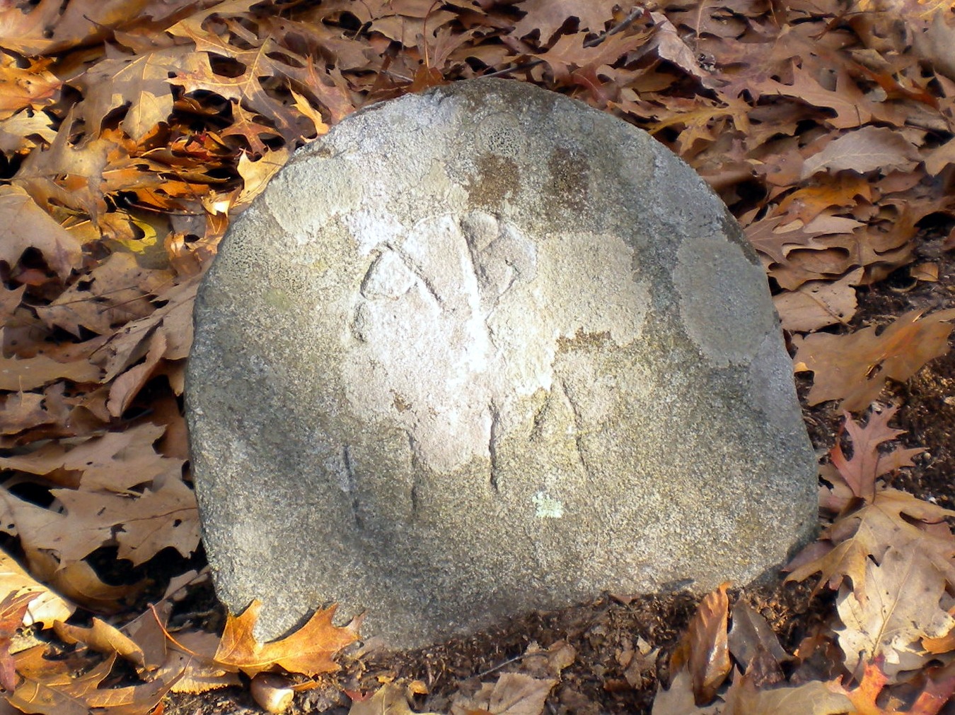
Grave of A. B. Brown 1774
Possibly Alice Harrnton who married Daniel Brown.
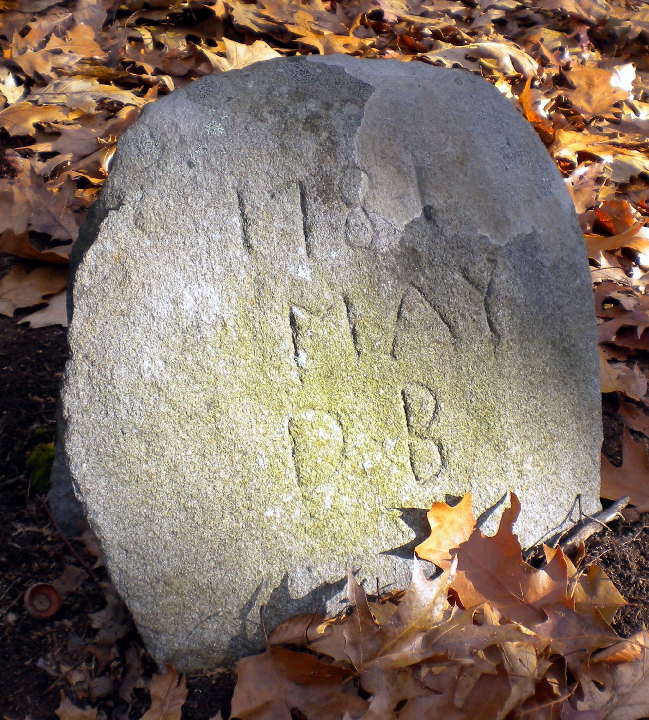
Grave of D.B., May, 1781.
Possibly Daniel Brown who married Alice Haernton.
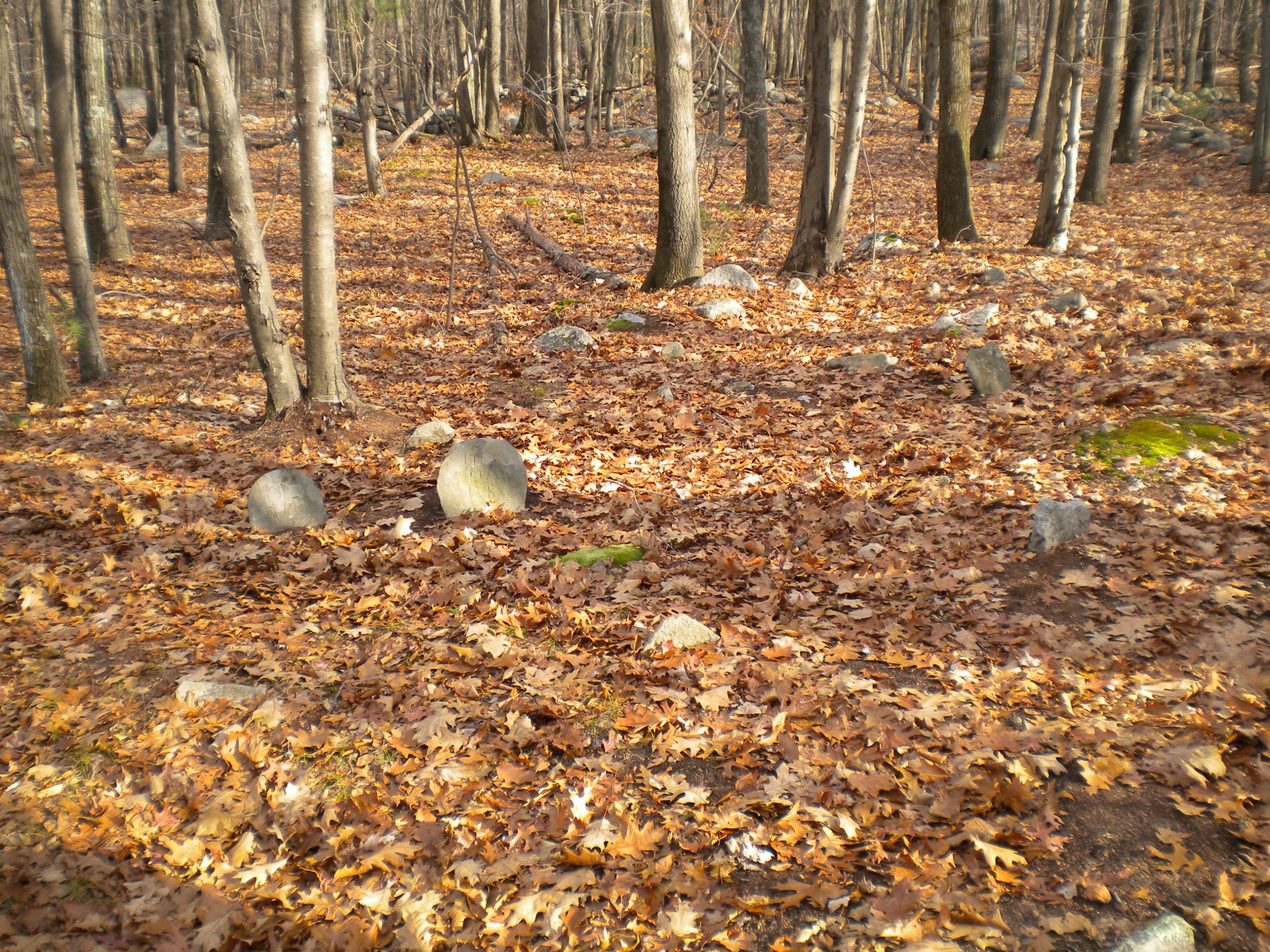
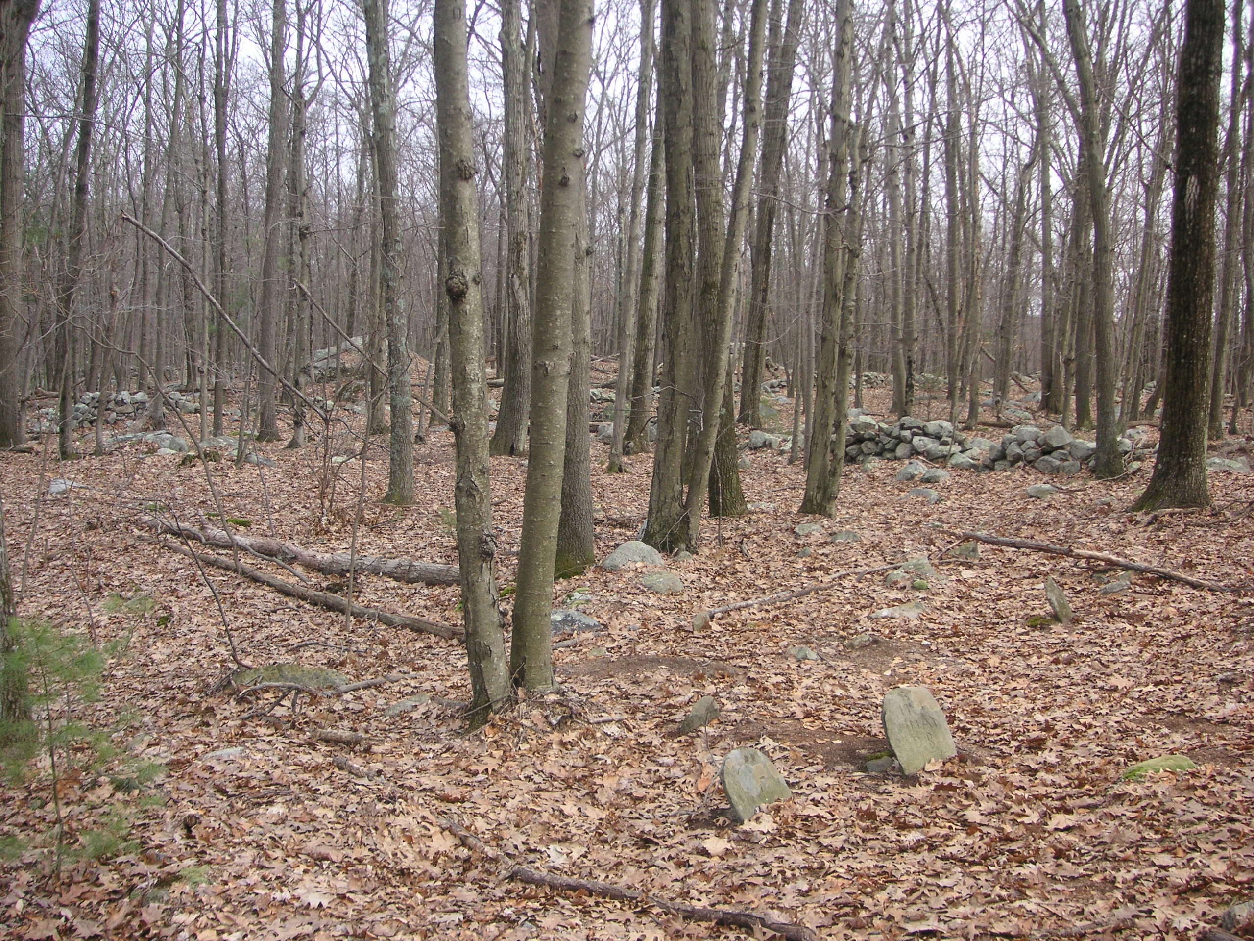
The grave marked “D.B.” may belong to Daniel Brown, a son in law to Benjamin Hearnton. He married Alice Hearnton. (a.k.a. Herendeen), (“A.B.”), on October 5, 1746.
Besides this cemetery, it can be speculated that other cemeteries may exist, but are marked with the same type of upright field stones and therefore have yet to be discovered.
While standing in the Brown cemetery, one can’t help but ponder the difficulty of digging a grave in such shallow, rocky, soil.
The Barn?
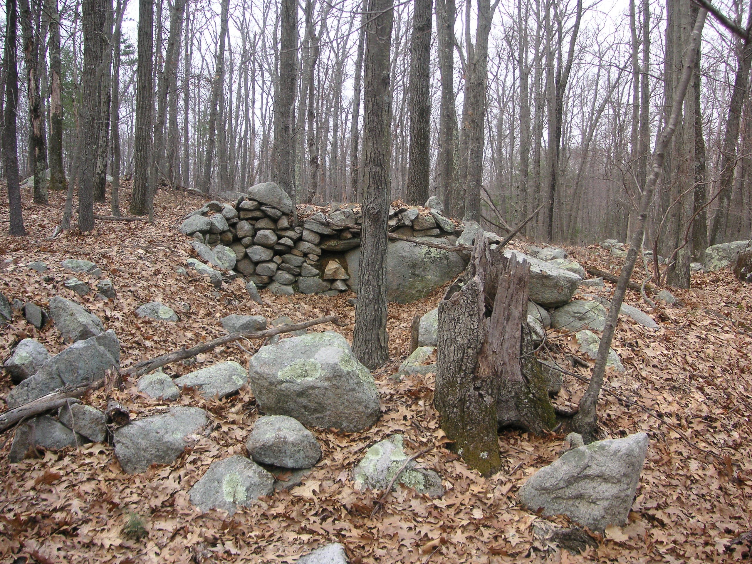
There are remains of another cellar hole on the Brown property. This hole incorporated a large boulder as part of a rear wall. This hole looks different from the hole where the house sat. If one examines the house cellar hole, one can see that the area around the cellar hole indicates that the actual structure was larger, however, this is not the case with this structure. It’s more likely that this was a barn, or maybe even a pen for livestock.
Click on images to enlarge.
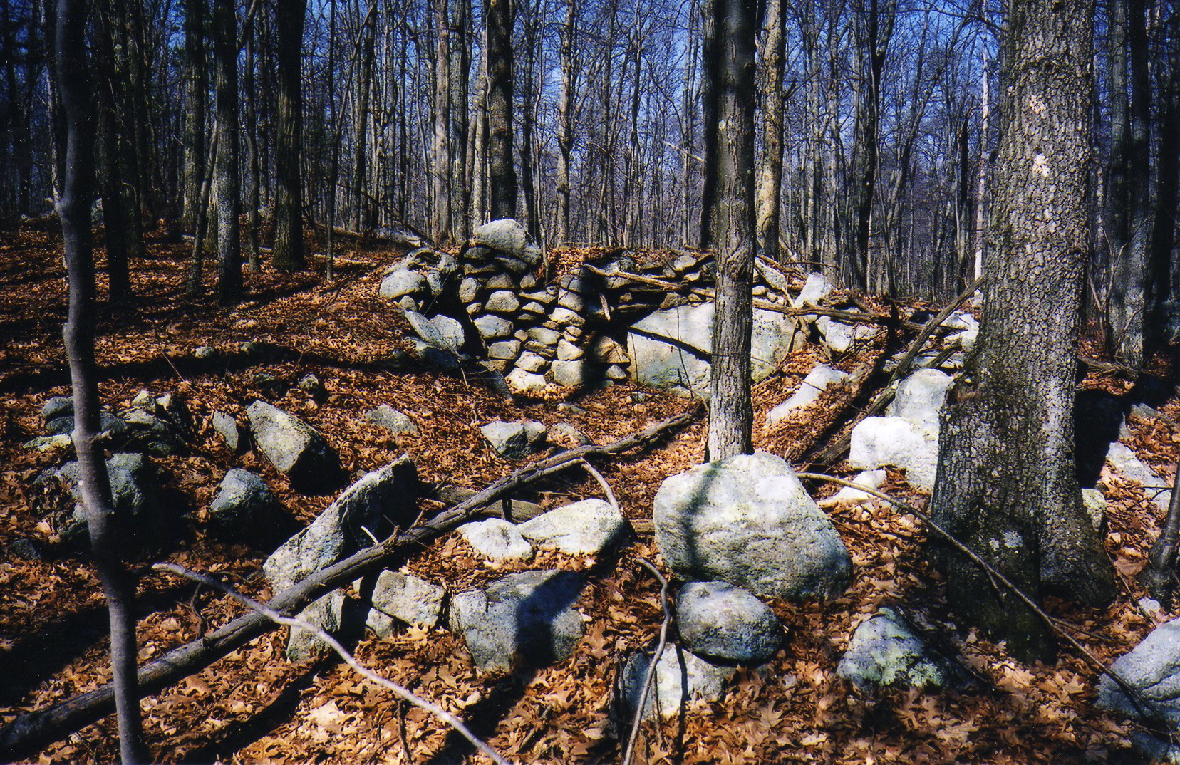
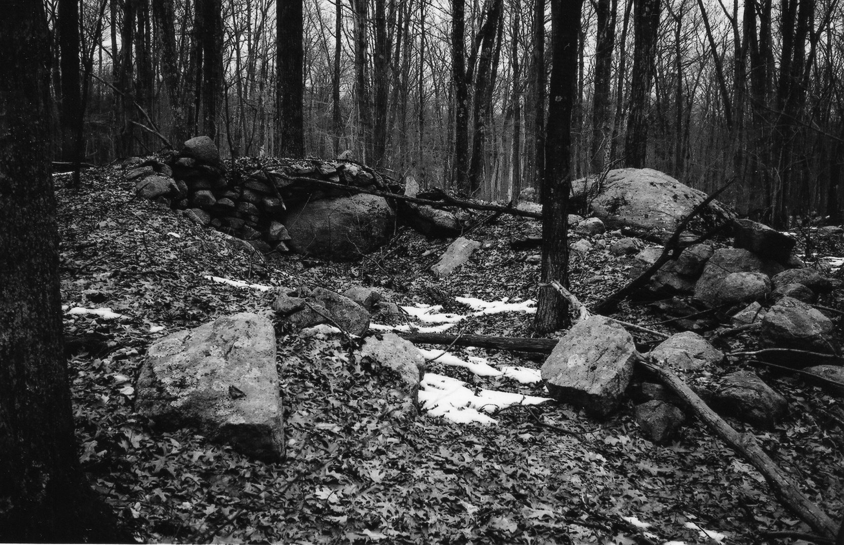
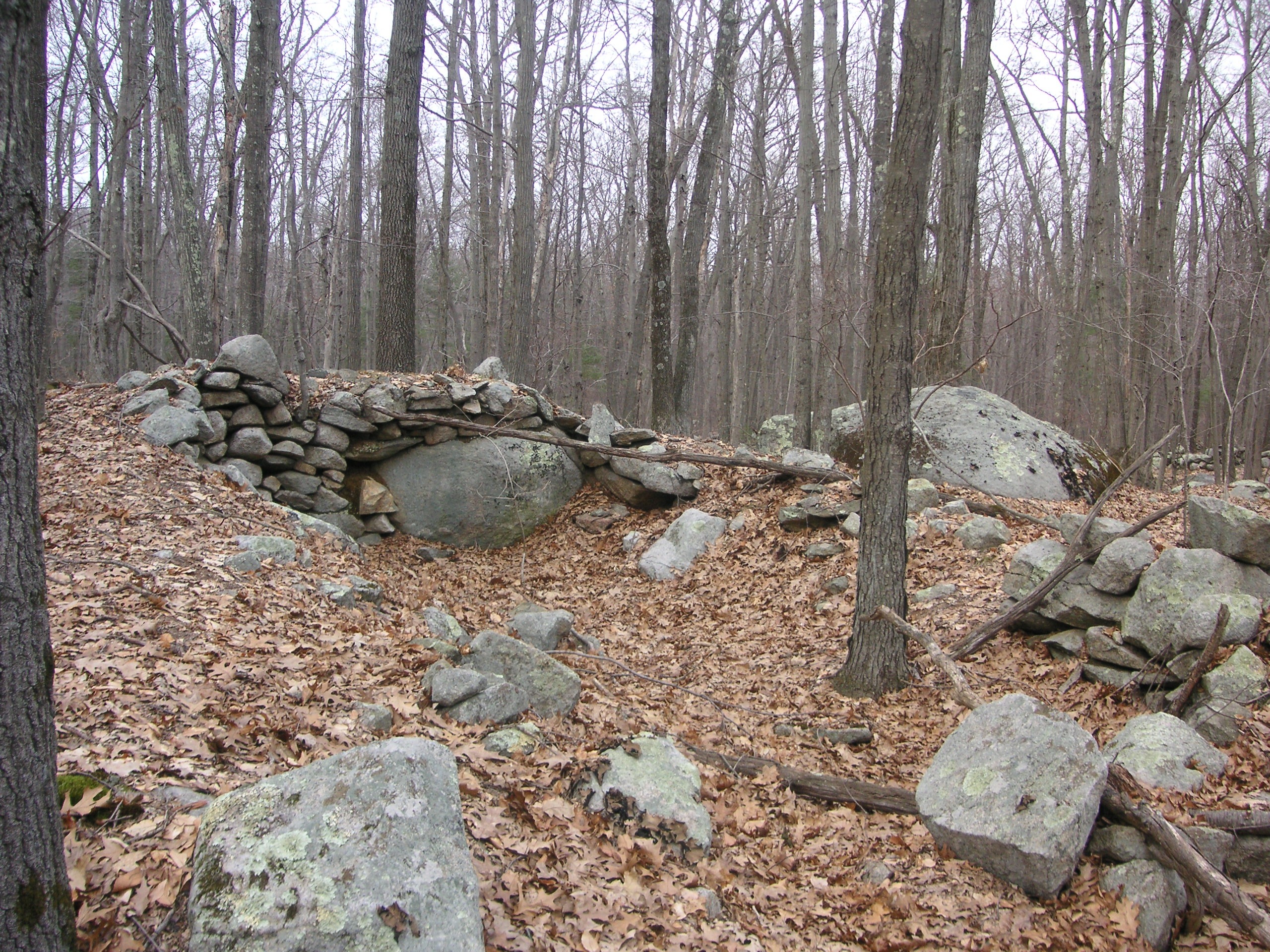
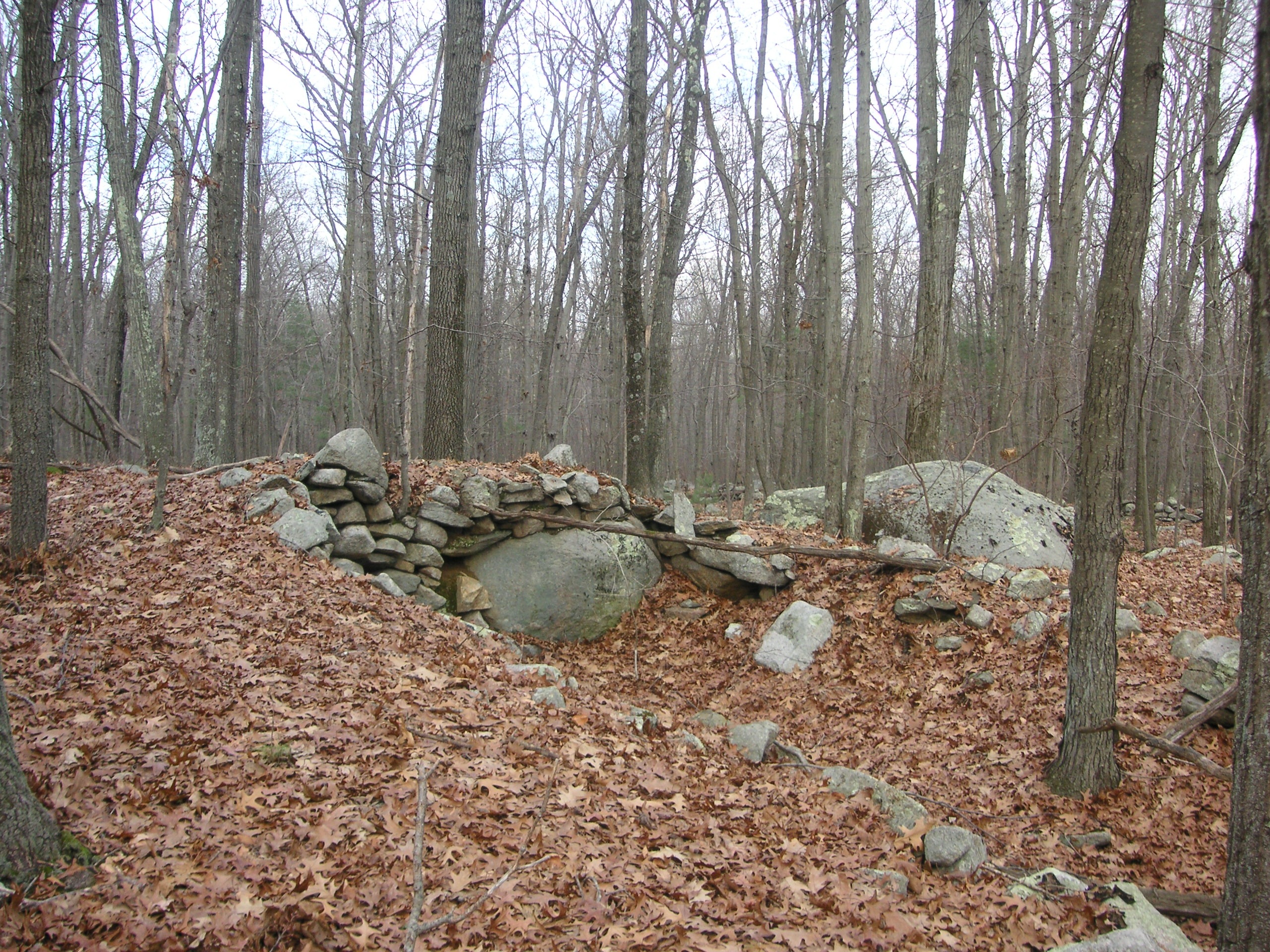
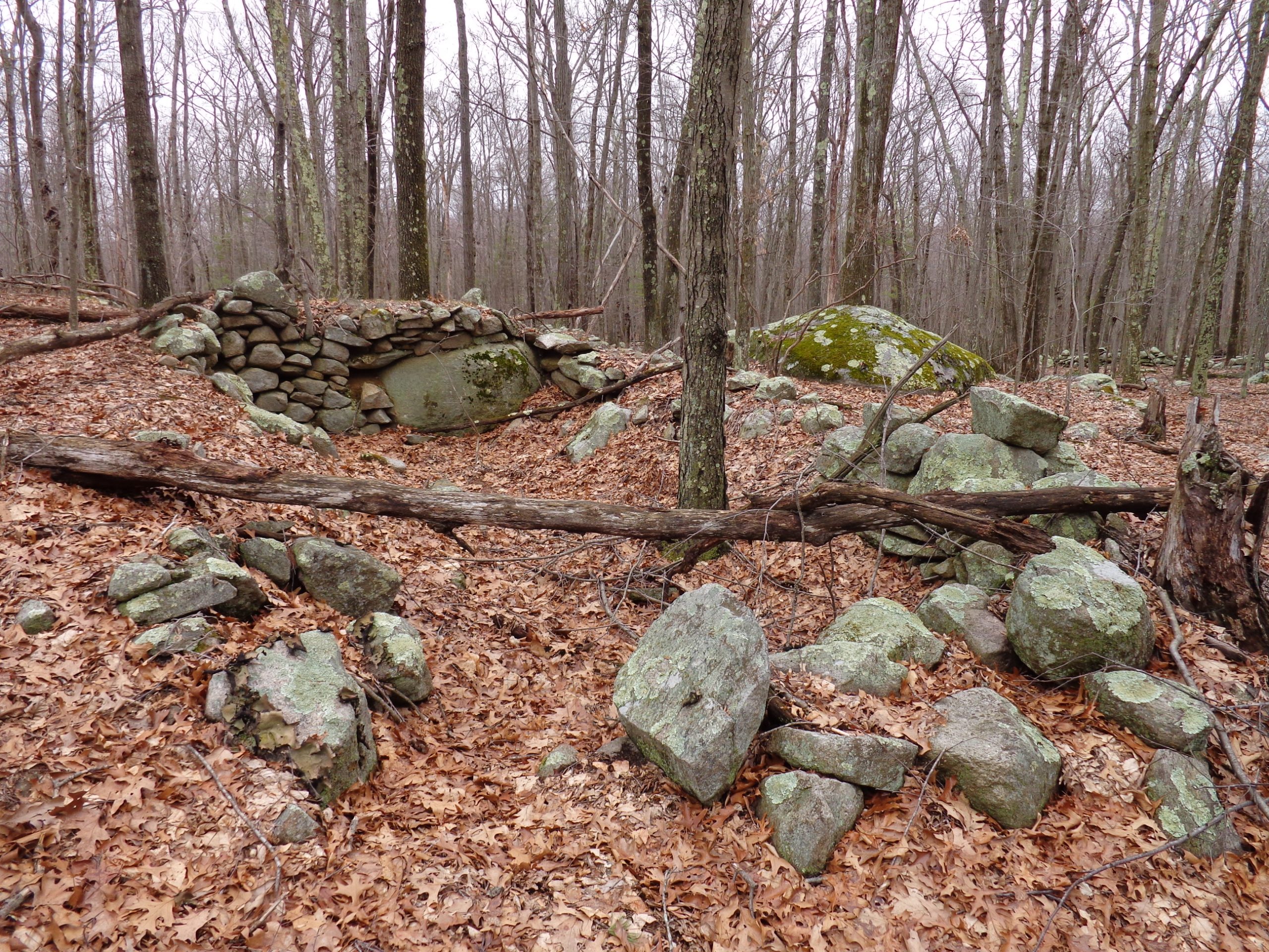
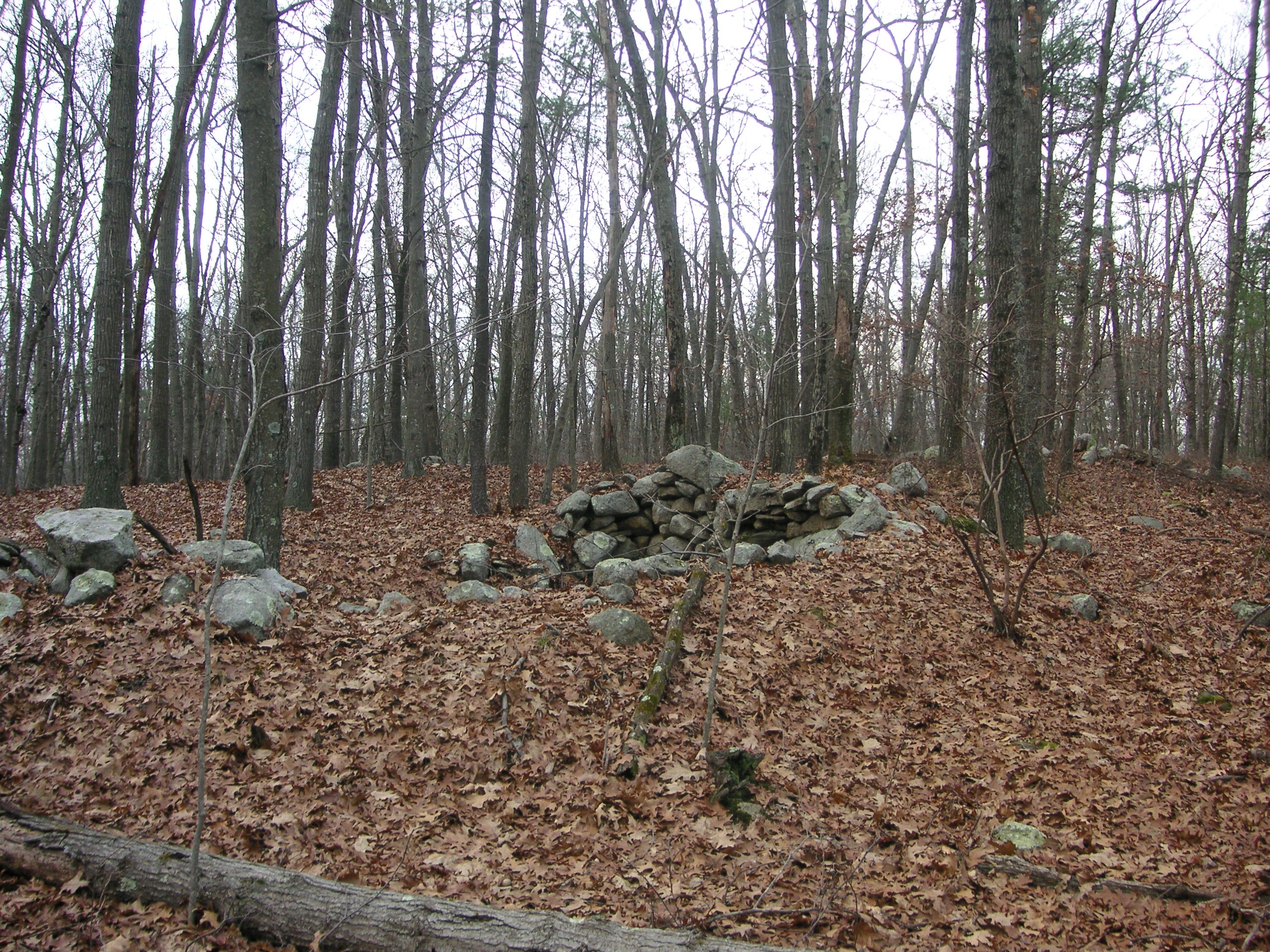
At the extreme northwest corner of the farm property, at the edge one of the old fields, lie two large boulders. (Glacial erratics.) These boulders overlook a small pond/swamp and one can imagine the members of the Brown family taking a break from fieldwork to enjoy what must have been a nice view at a time when there were no trees obstructing the view. It appears there was likely a gate of some sort between the boulders which would be opened to allow farm animals access to the water.
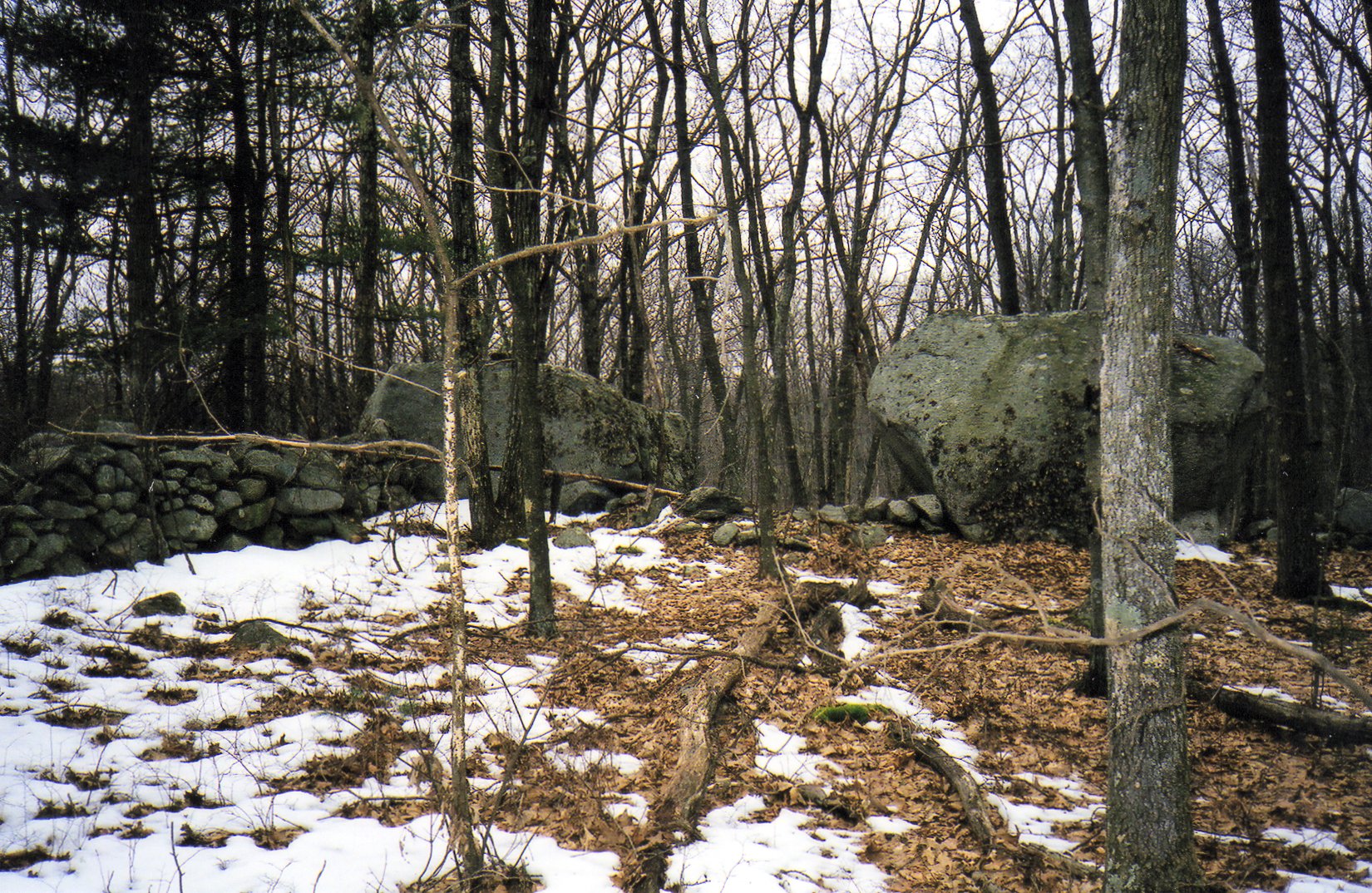
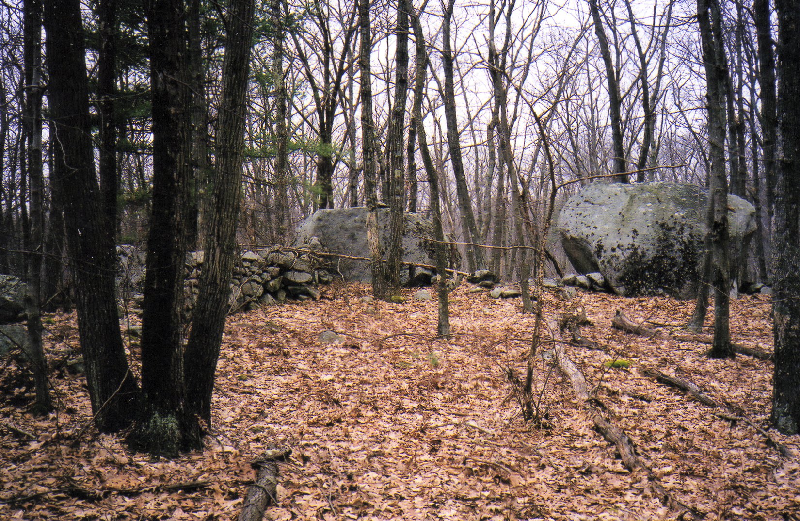
These large boulders are “glacial eratics” left behind by the receding glacier 10,000 years ago, and seem like a natural property marker as two stone walls run up to them forming the corner of the property. I’ve named them “Twin Boulders” because I felt they should have a name.
Hill Top Farm
This site sits atop a hill across a valley to the west of the Brown Farm. Like the Mystery Stone Site, it also has a strange set of upright stones. In 2004, like the Mystery Stones Site mentioned earlier in this work, the purpose of the stones was in question. Further research indicates that they are likely the remains of a small corn crib.
The site also contains the remains of another house, but the cellar hole is hard to discern because the sides have collapsed and filled in. If one looks closely they will see a rough outline of stones forming a square where the house was located. This cellar hole is not as distinctive or dramatic as the ones at the Brown Farm, but there is no mistaking that a house once stood there.
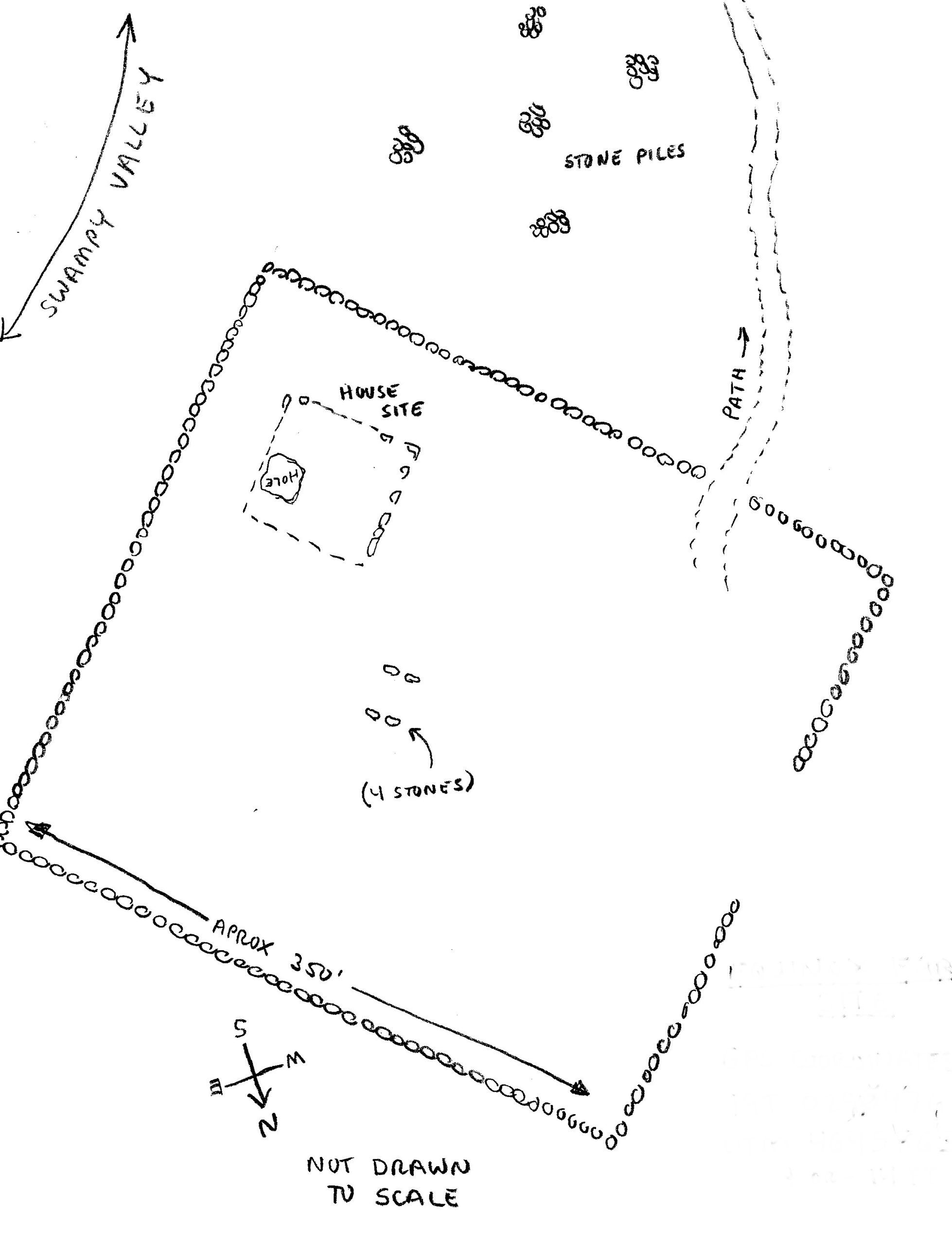
The site is surrounded by a stone wall enclosure, roughly 350 by 350 feet square. (See map.)
Click on images to enlarge.
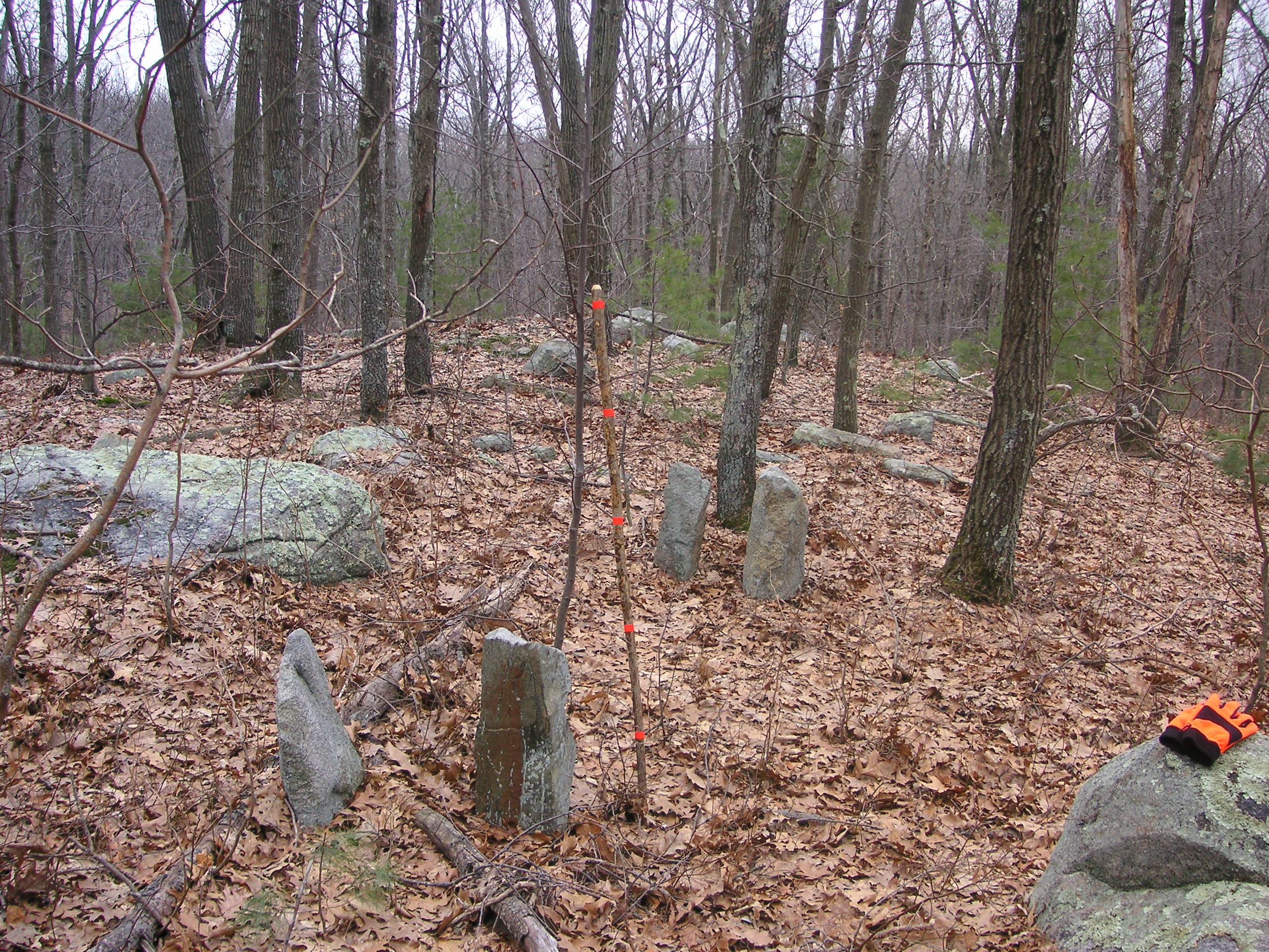
The stick is marked at 12 inch increments for scale.
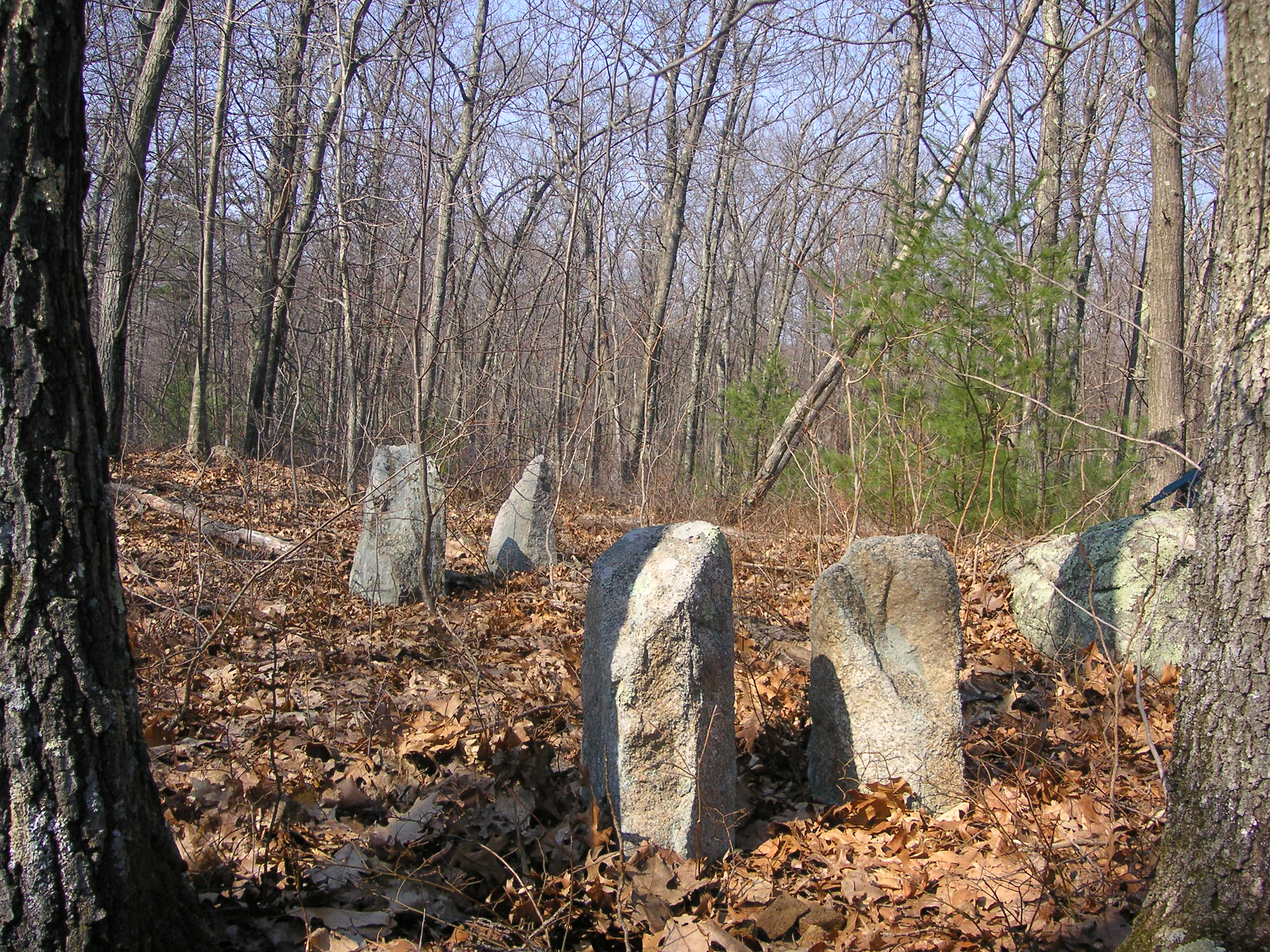
The standing stones are about two feet tall and about 7.5 feet apart.
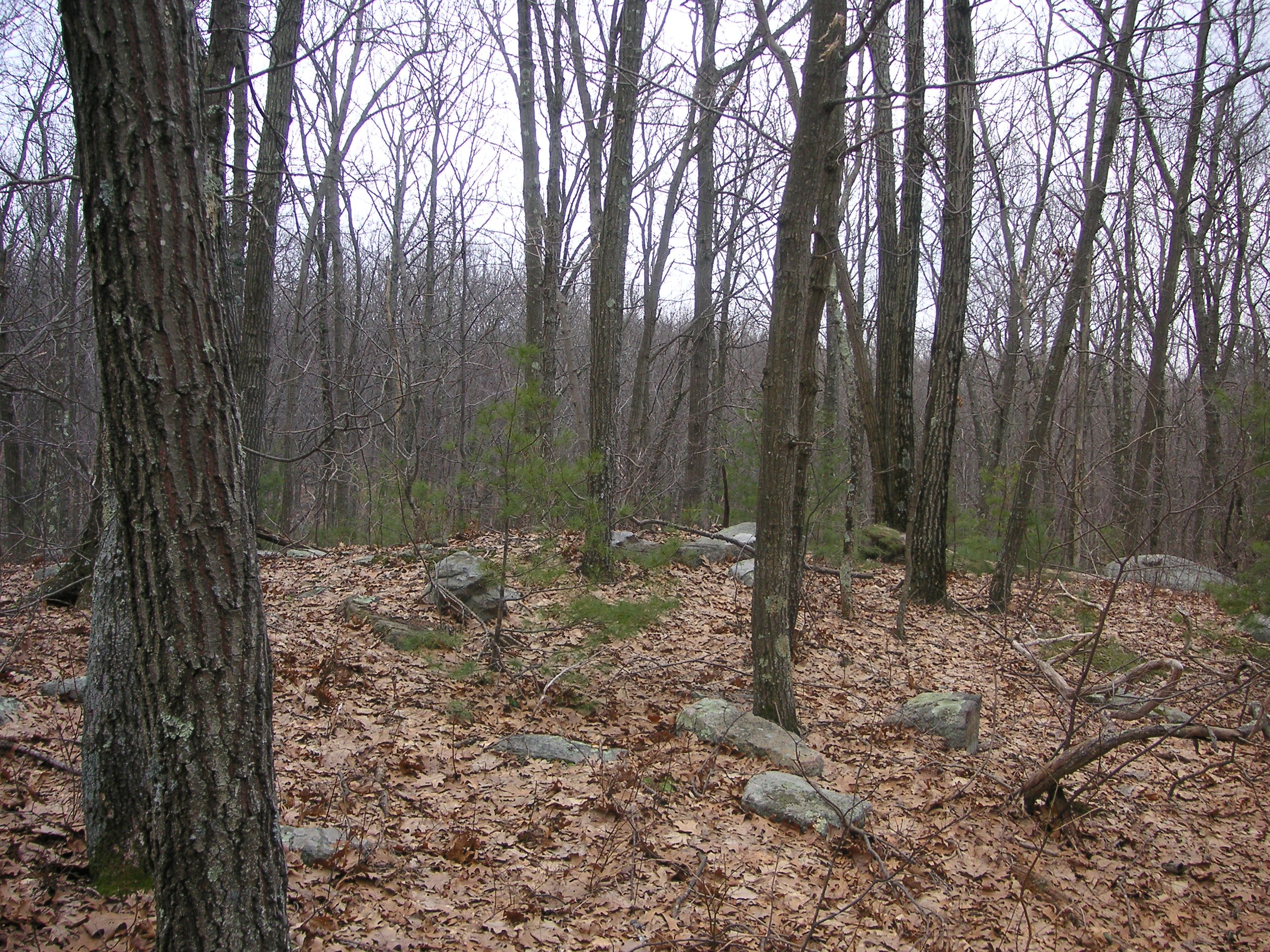
It’s hard to tell by the photo, but a house once sat here.
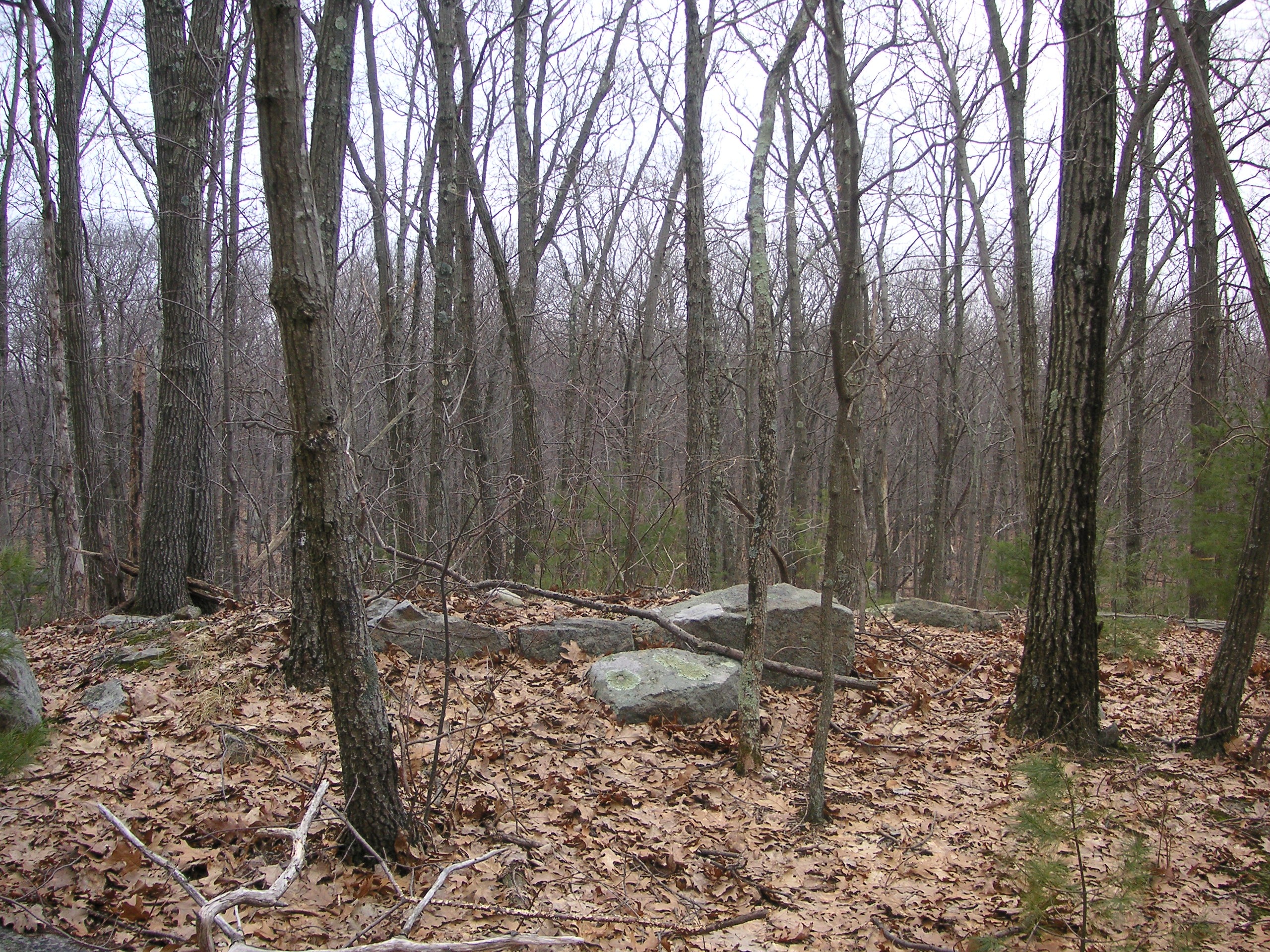
Chimney stones.
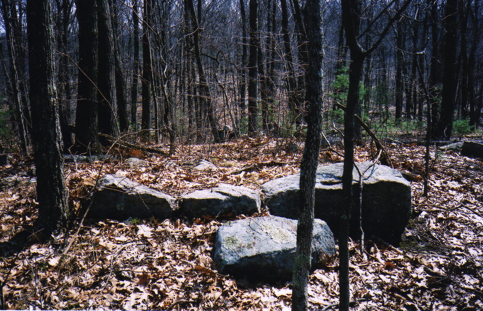
Chimney Stones
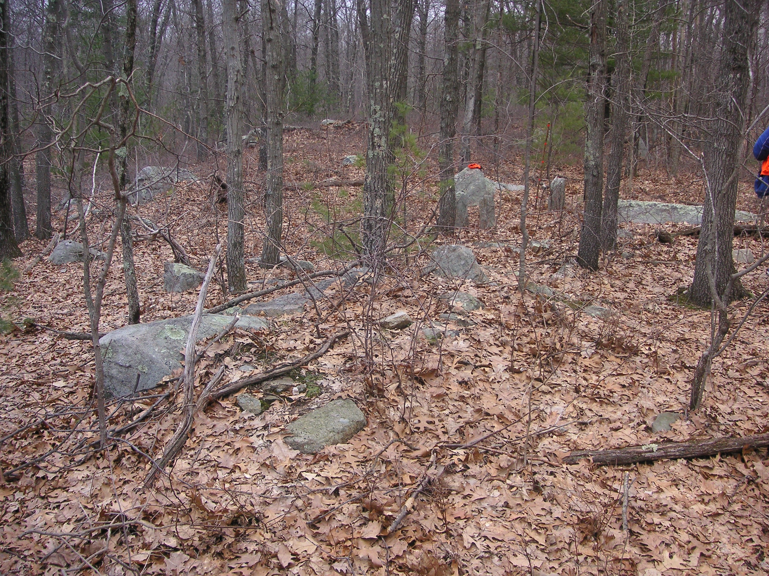
The cellar hole has collapsed into itself.
One wall surrounding the house site has an opening with a faint trail leading through it. If one follows the trail, they will see piles of stones, much like the ones found in other areas of Hanton City, obviously man made. These cairns are likely the result of seasonal field clearing. Each spring, new rocks would be pushed to the surface by winter frosts. These rocks needed to be cleared before planting. Sometimes they were carried to stone walls, and other times they were put in piles.
The First Lower Valley Site
In the valley between the Brown Farm and the Hill Top Farm is a partial stone foundation the purpose of which is unknown. It sits at the edge of a swampy stream.
Click on image to enlarge.
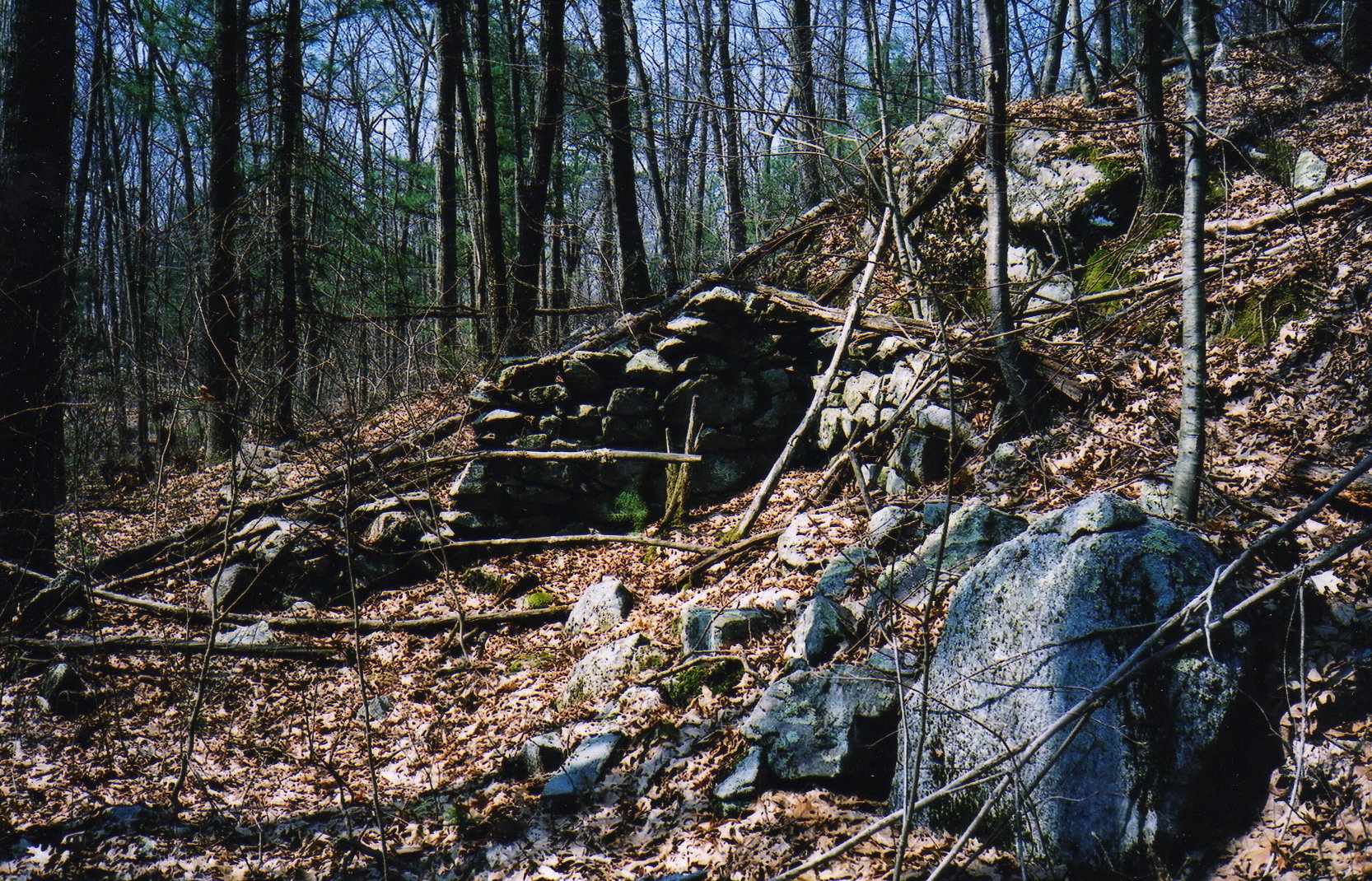
This structure was built into the side of a hill next to a swampy area.
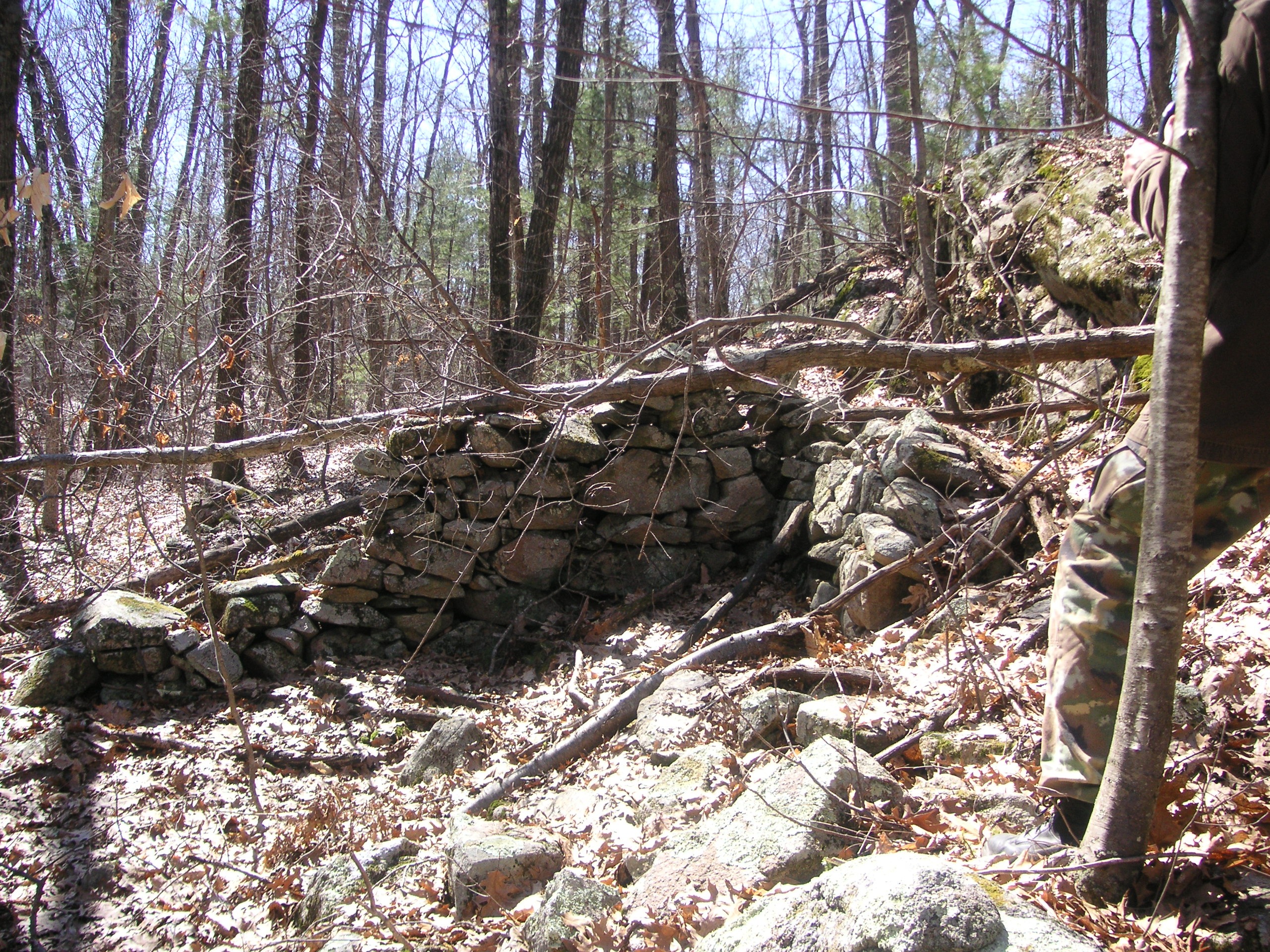
The Second Lower Valley Site
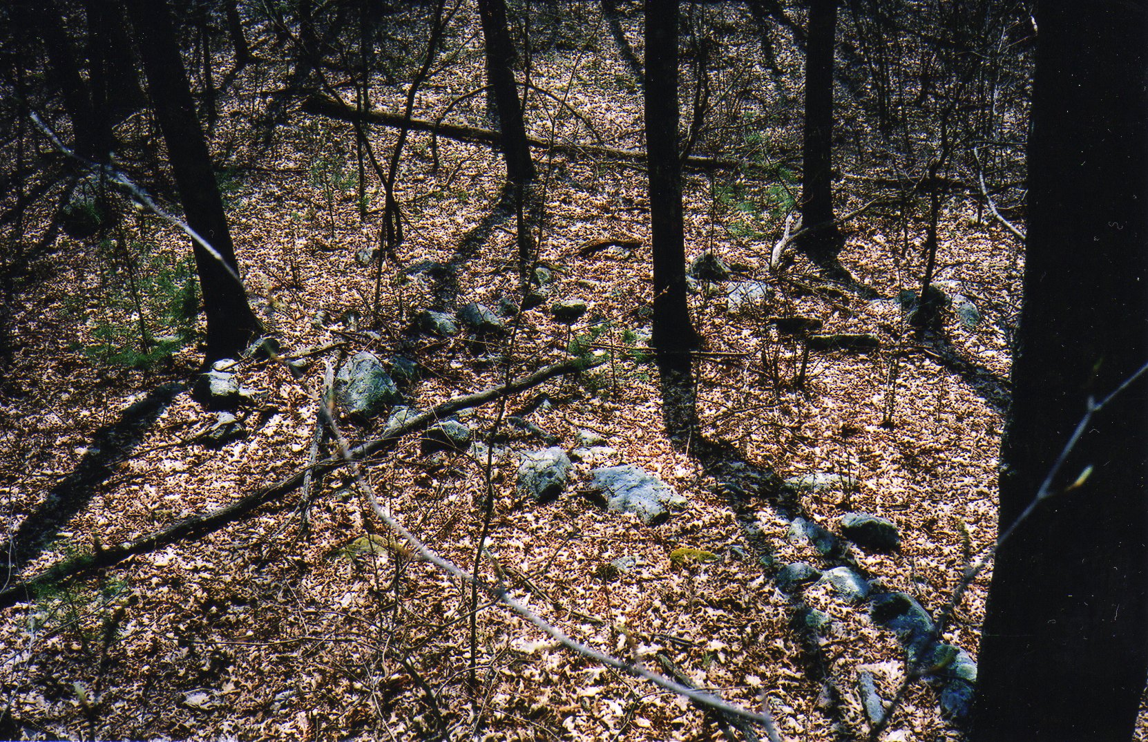
A little farther down the stream, on the same side as the First Lower Valley Site, one will find the remains of another building. The stones here are set in a square pattern, and the opening seems to face away from the water. Again, the purpose of this structure is unknown and it’s markedly different from the First Lower Valley Site.
The Threshing Rock
A famous landmark in Hanton City is the Threshing Rock located on the northern slope of Cedar Swamp, and west of the Brown Farm.
Click on images to enlarge.
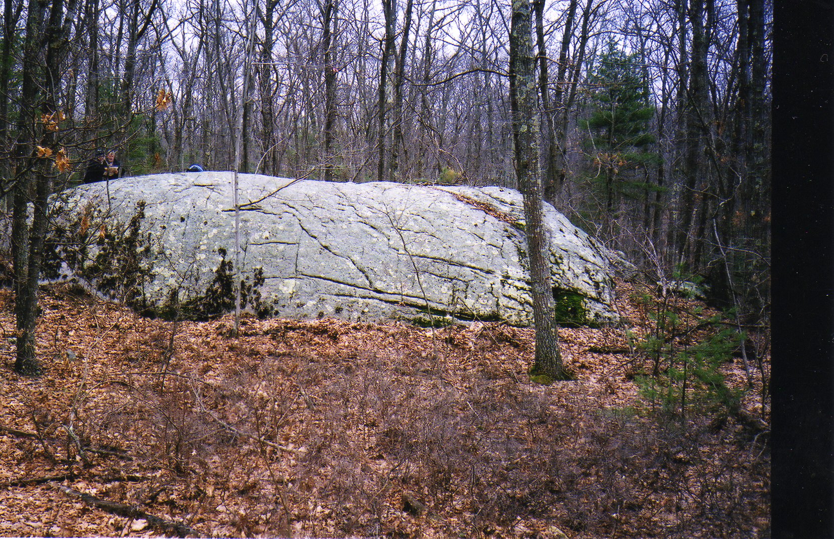
The Threshing Rock
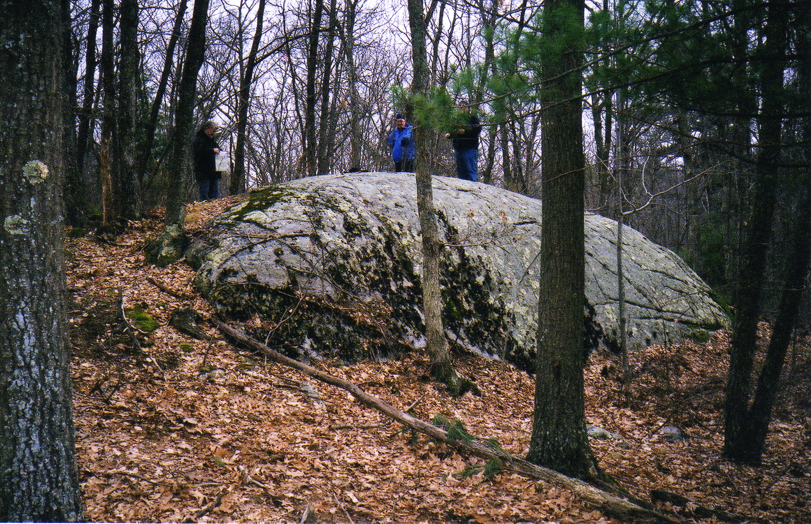
The Threshing Rock
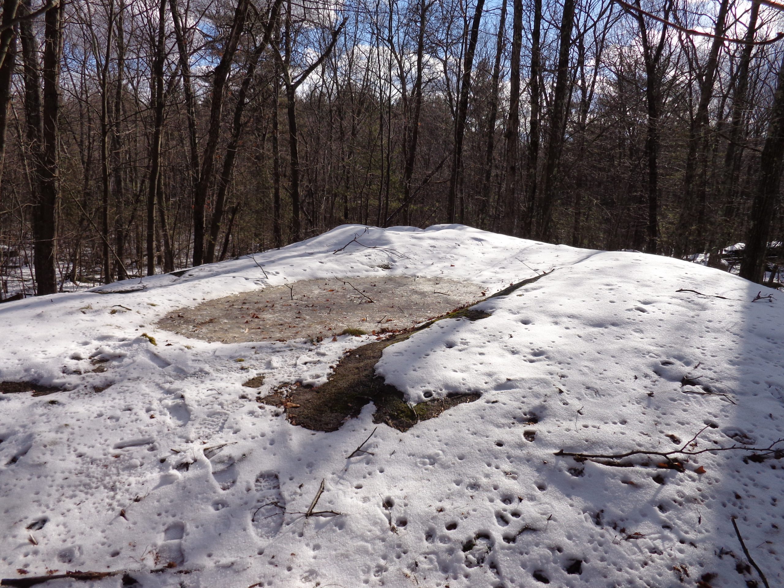
The top of the Threshing Rock.
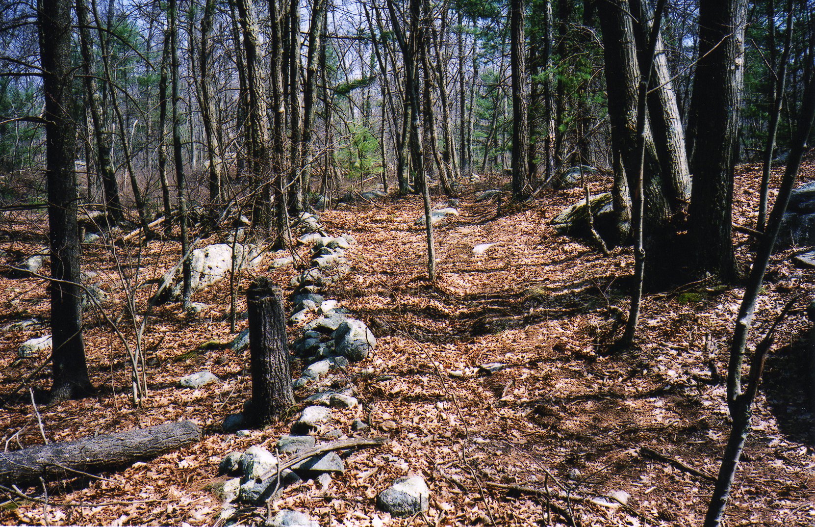
The remains of an old cart path leading to the Threshing Rock.
The top of rock has two shallow divots or “bowls” which, according to legend, is where corn and wheat is said to have been ground or threshed by Native Americans and early settlers. One is deeper than the other. (Threshing grain involves separating the seed from the chaff.)
In an article that appeared in the Providence Journal on February 14, 1937, Mr. Edwin C. Harris was asked about the rock. He was quoted as saying, “It never was used in my day, but I’ve heard my father and old folks say that before their time some of the small farmers thrashed their oats, barley, and rye on this rock.”
Mr. Harris was 90 years old at the time of this interview, and his father was born in 1808.
When standing on the rock, one can still make out the lines of the old cart path that led up the gradual slope to the rock on one side. Presumably, once the harvest was unloaded onto the top of the rock, the cart would pull around to the front where the rock rises 8 to 10 feet high. After the harvest was thrashed, it could be shoveled down into the wagon below. The wagon would then leave via another path which circled back and met up with the original, to make it easier on the team pulling it.
The rock probably once afforded a fine view of the Cedar Swamp and surrounding hills but today (2004) visibility is limited due to re-forestation. It is said that the rock used to be a picnic destination for hikers.
The 1937 article gave directions to find the Threshing Rock, however these directions no longer apply today. For example, they say ; “Arriving at the top of an elevation, look south for the dead trunk of a big pine. Threshing Rock is within a few rods of this tree – a little beyond and to the right of it.” A photo in the article seems to indicate few trees were around in 1937, and old trails are long overgrown by woodland. Today, the best way to find it is with a Global Positioning System and going to the UTM coordinates below.
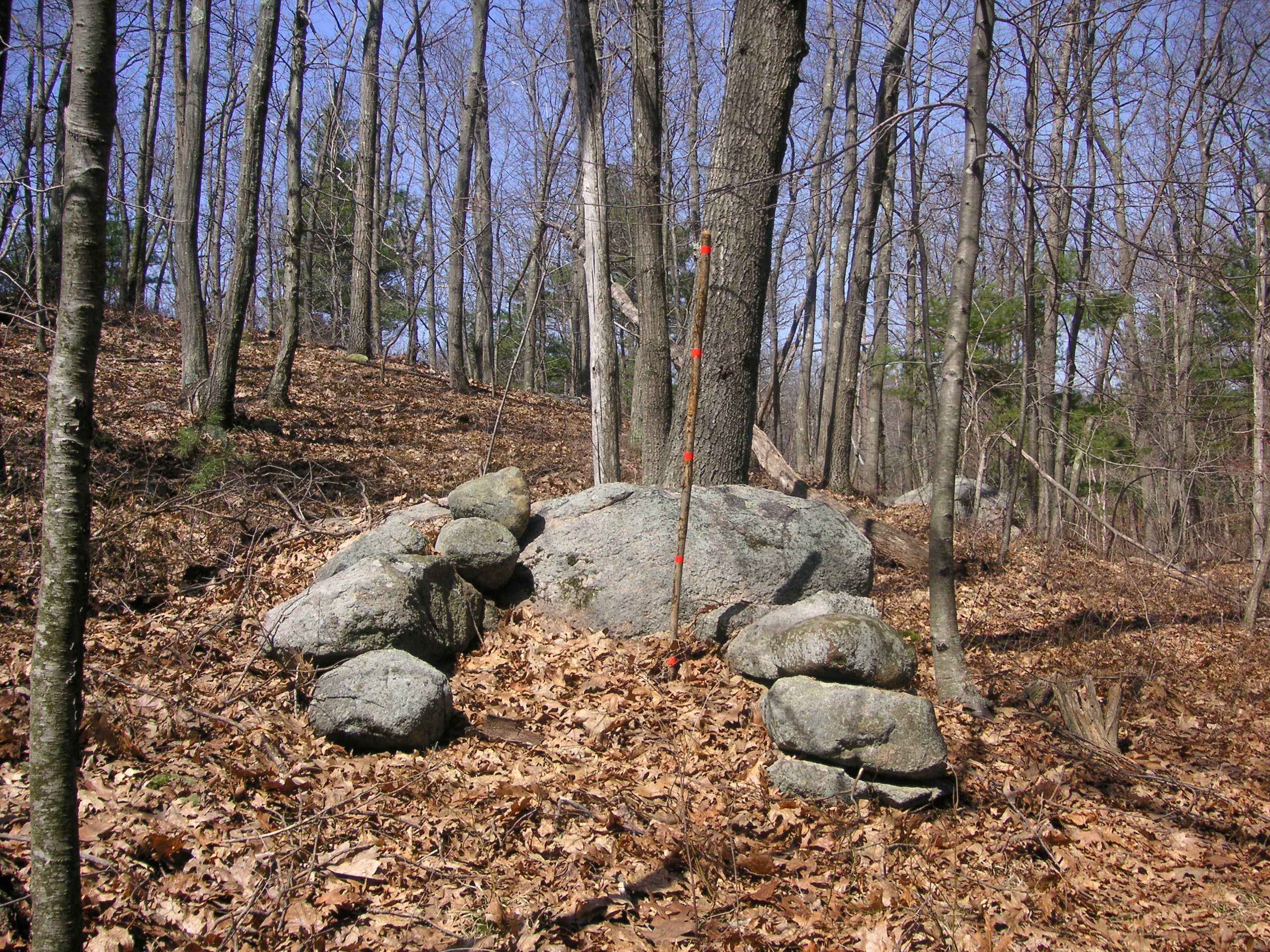
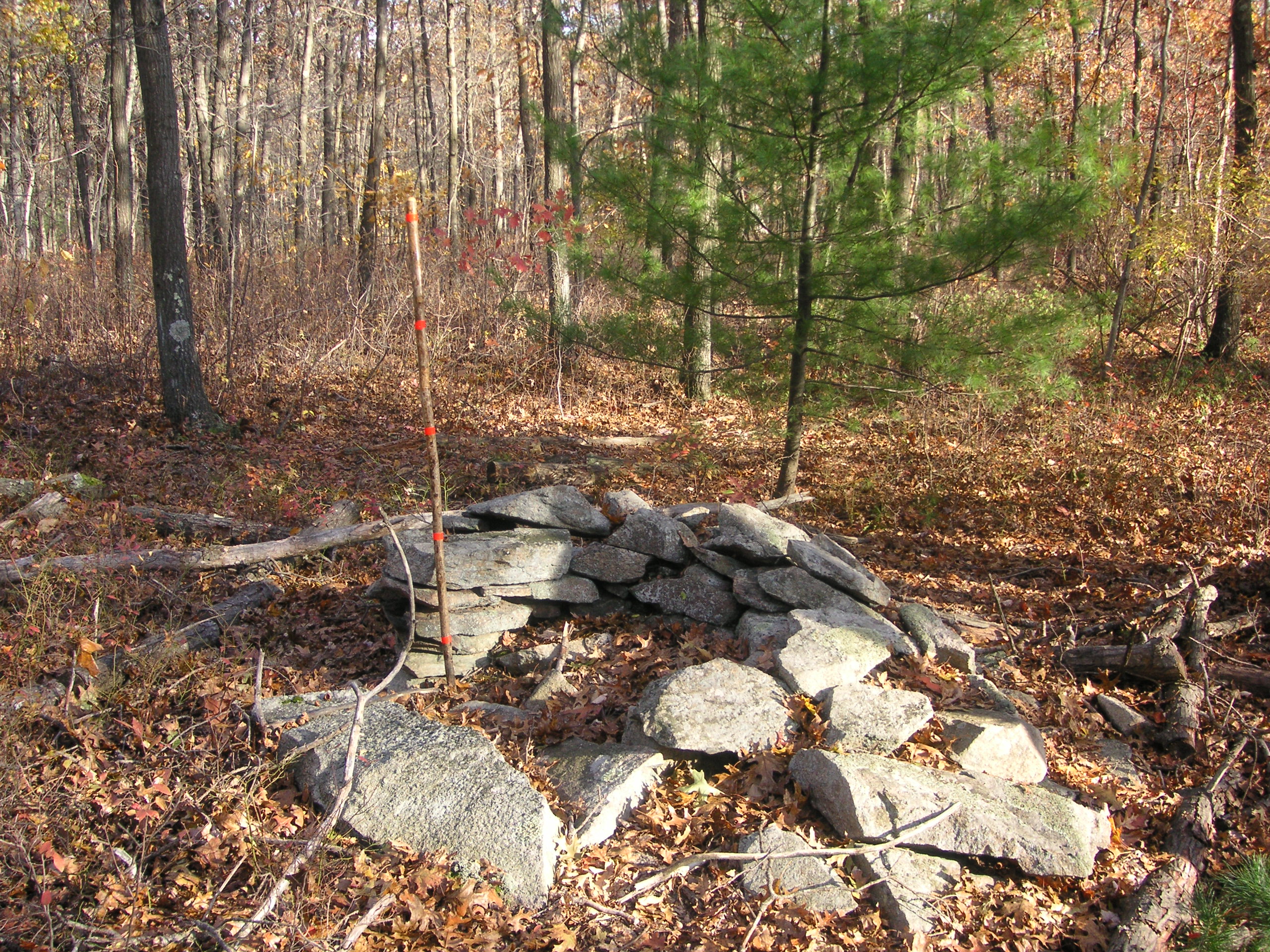
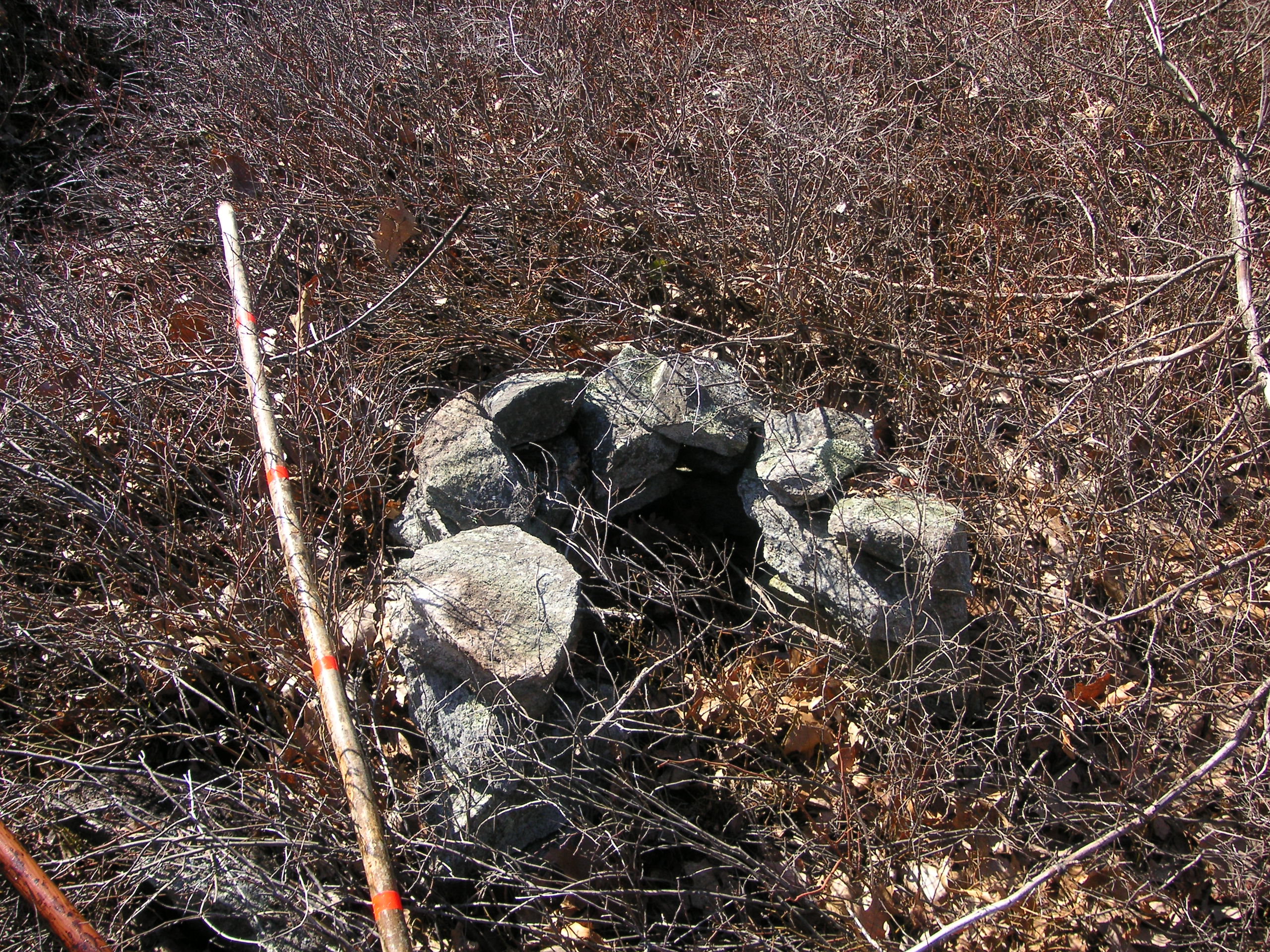
A Hunter’s Blind, of Fireplace?
Along the side of a well maintained trail built in the early 2000s that passes through a portion of the Hanton City area, is a small stone structure, the age of which is unknown. It’s about four feet high and is somewhat “V” shaped, and it overlooks a swamp that was probably once clear of the thick brush that grows there today. Could it have been used as a hunter’s blind? A more likely possibility is that it was a fireplace, either used by campers, loggers, or Hanton City residents working in the fields.
Click on images to enlarge.
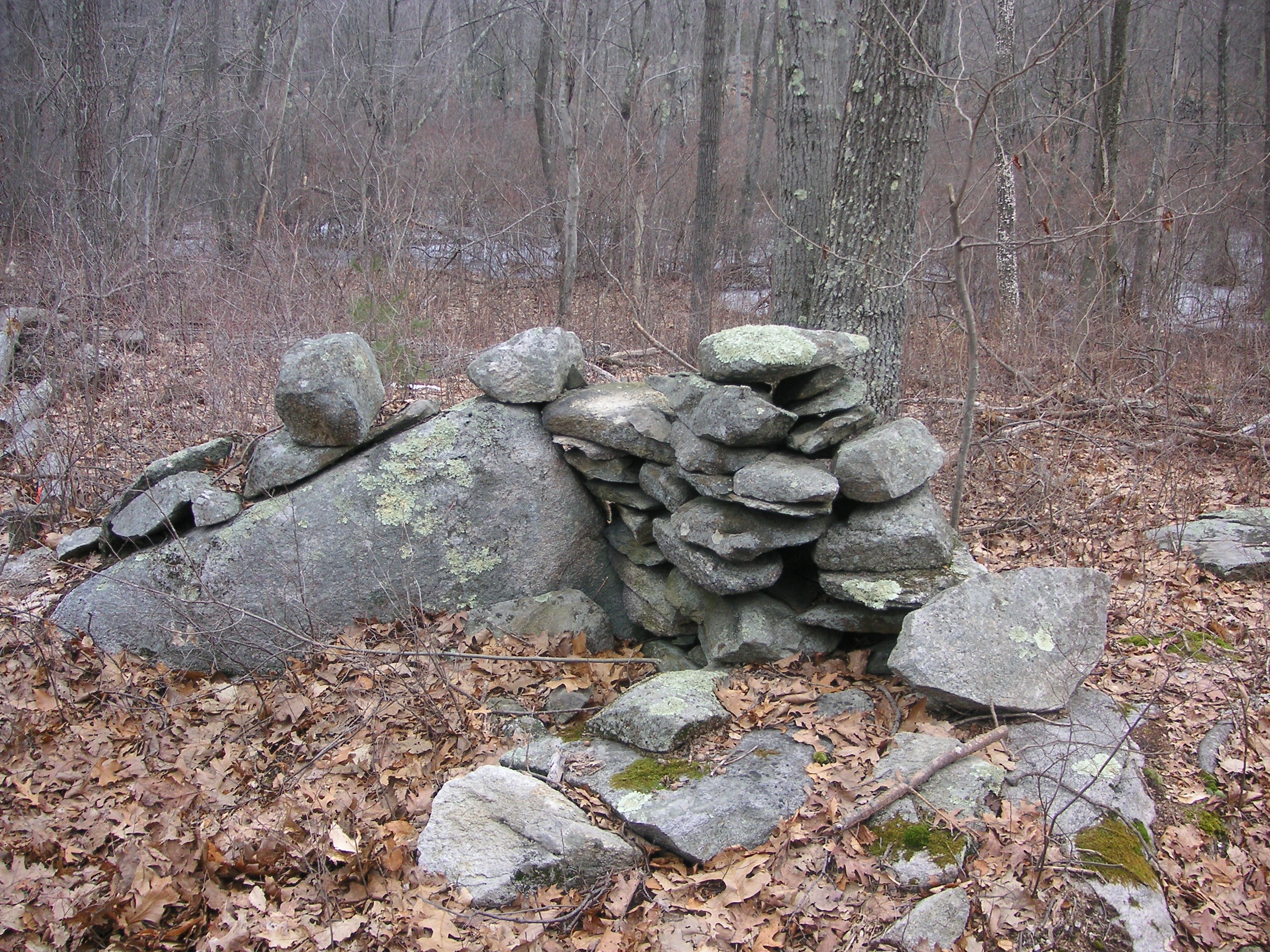
Was this a Hunter’s blind; a fire place; or did it serve another purpose?
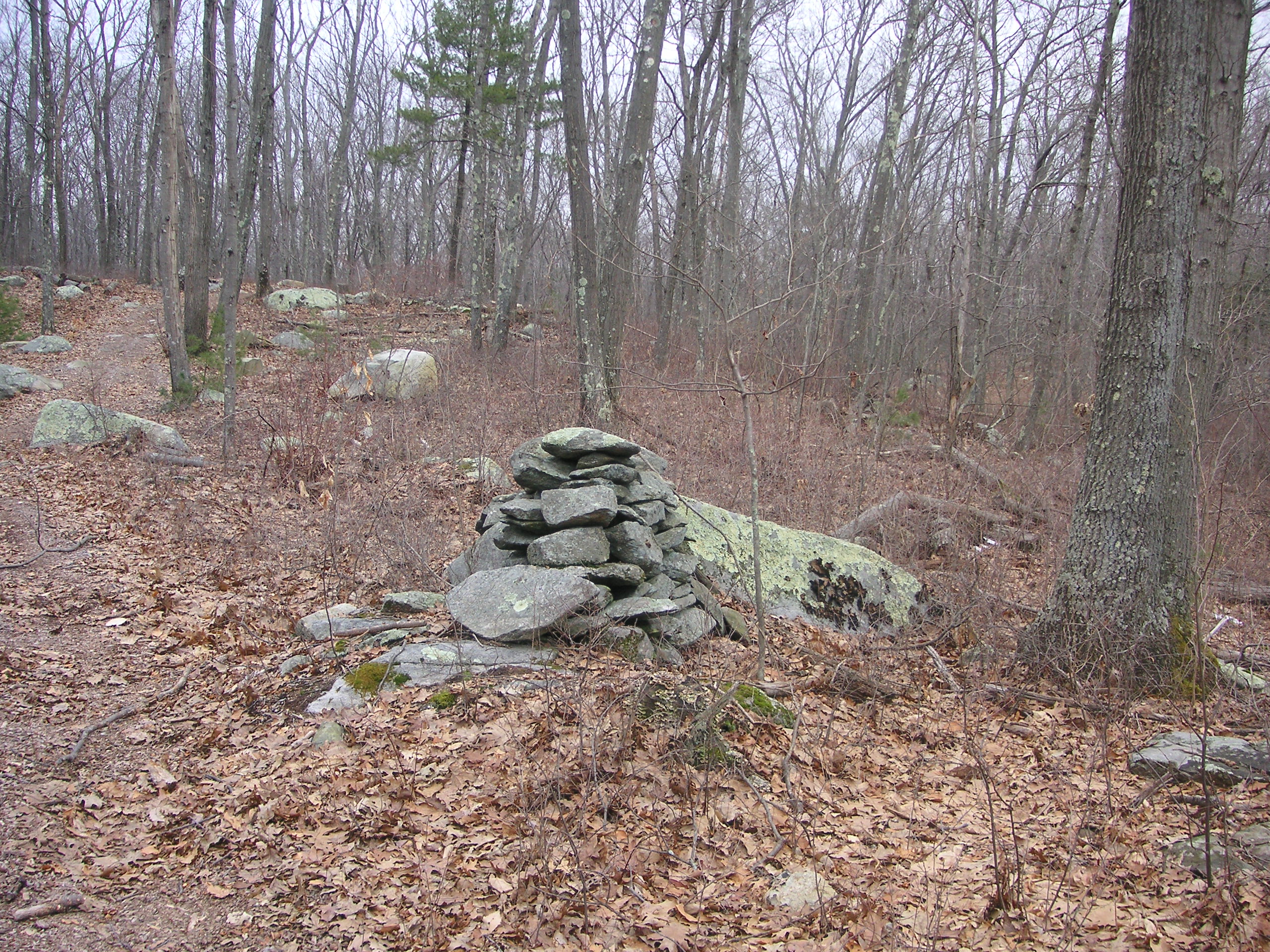
A sideview of the same structure.
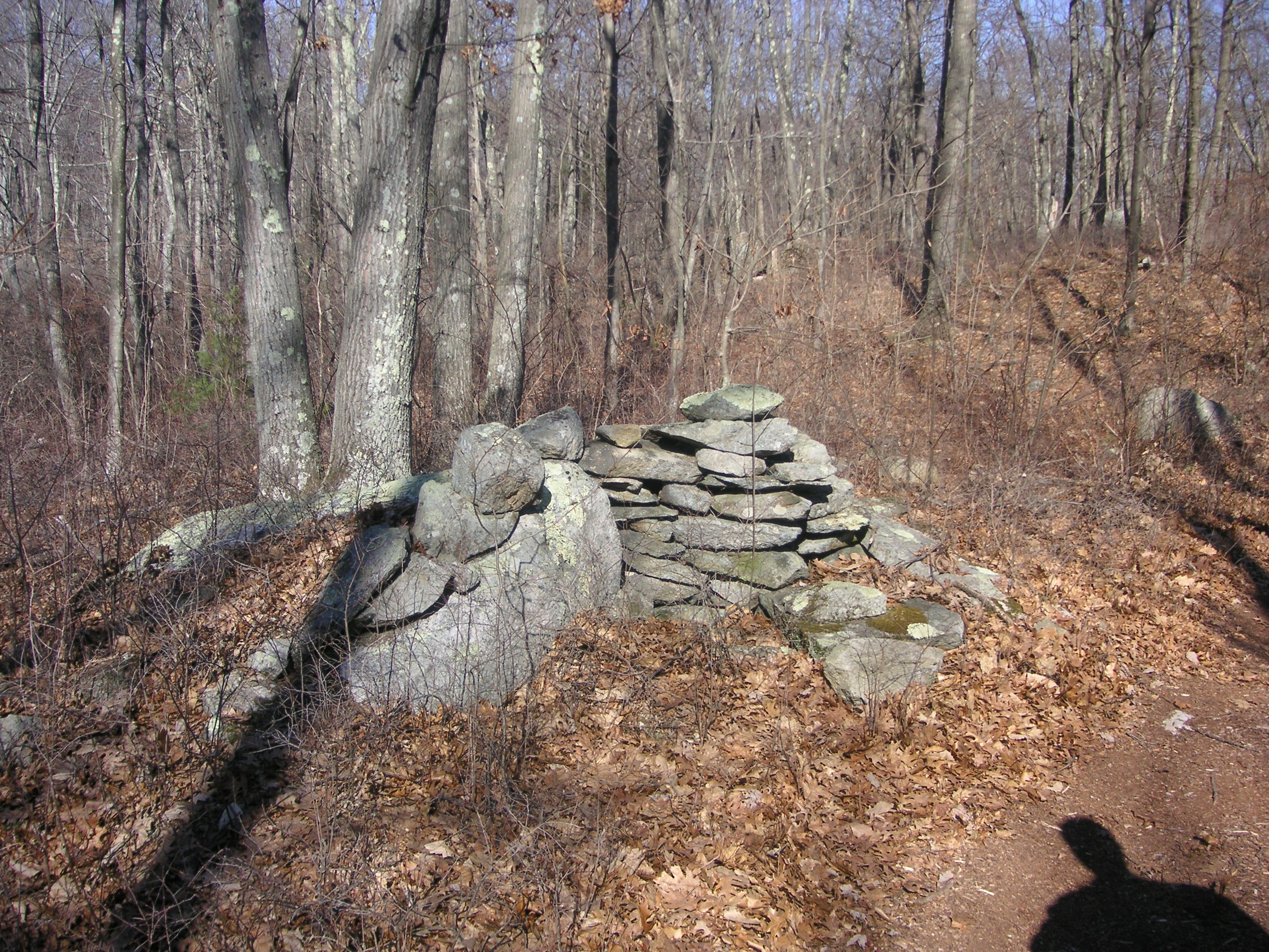
Other Fireplaces in Found in Hanton City
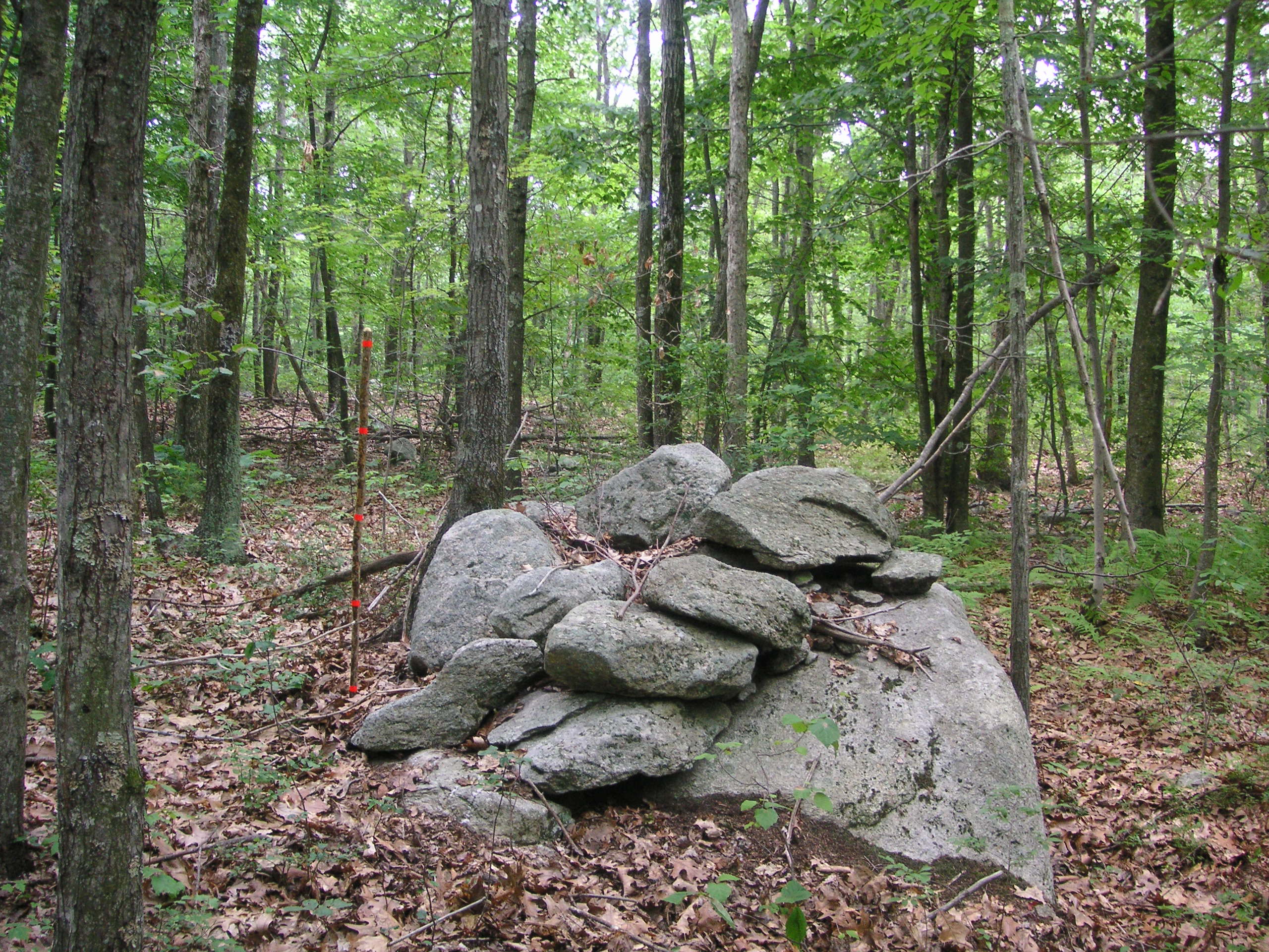
Stacked rocks in Hanton City. Reason unknown.
Other Explorations
Bald Hill
There is a bare hill of bedrock that I am calling Bald Hill for lack of a better name. The top consists of a single massive piece of rock that Mother Nature as seen fit to uncover. The rock creates a clearing at the top and today it is covered with a fine carpet of light green lichen. The trees around it can’t be more than 60 to 80 years old at the most, and in winter time, one can see the horizon.
According to GPS, the hill is 525 feet high. One can easily imagine that it could have been a place used by Native Americans to look out towards Greenville, or by young lovers in Hanton City as a place to have a picnic or watch the stars. It seems like it would have been a pretty spot no matter what the time of year.
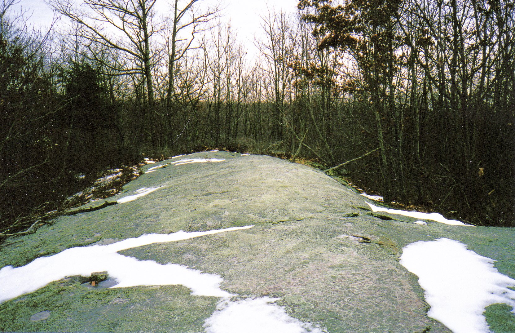
Bald Hill, possibly once known as “Rocky Hill”.
Looking southwest towards Greenville. Note the horizon line.
Remains of a camp fire on Bald Hill.
Part 2 – Hanton City Researcher’s
The following is a chronological order of researchers and interested parties who investigated or wrote about the origins of Hanton City and what happened to its people. For the sake of ease of the reader, I have put all direct quotes from letters, research papers, and articles in italics.
The earliest reference to Hanton City seems to be found in a Providence Journal newspaper article dated October 6, 1889. Ironically, it seems that previous researchers were unaware of this article. Therefore, I won’t talk about it at this point as it would create contradictions which could be confusing for the reader. I wasn’t aware of it either when I began this project.
One early reference to Hanton City is found in a book called, The History of Providence County Rhode Island, by Richard M. Bayles, published in 1891, stating simply that Hanton City was “a granite ledge that was at one time worked.”
Abraham L. Mowry
On January 27, 1916, under the heading, “North Smithfield News”, an article appeared in The Woonsocket Call & Evening Reporter, headlined, “Local History Is Given By Grangers”, which said in part; “Abraham L. Mowry spoke of the uninhabited section that once flourished and prospered as “Karnton City”.”
It’s believed that “Karnton City” was a misprint and should have read Hanton City. Unfortunately, the the Evening Call article didn’t go into any specifics, and there were no follow-up articles so, its unknown what Mr. Mowry said.
Ruth A. Mowry
On April 29, 1916, an article appeared in The Woonsocket Call & Evening Reporter titled, “The Waste Places Of Old Smithfield”, by Ruth A. Mowry. The article was referring to Hanton City.
The article describes Smithfield as a “howling wilderness” at the time of the American Revolution and that “Only courageous souls and those deported for some civic offense dared face its dangers.”
The article also states: “A number of men, impressed by the British army and sent to America, promptly deserted on arrival. They chose the alternate of starvation and torture by wild beasts and Indians rather than a safe return to England to face the displeasure of the king and penalty their acts had incurred”
Wilson S. Mowry
On October 28, 1916, another article appeared in The Woonsocket Call & Evening Reporter titled, “Island Woods And Hanton City” by Wilson S. Mowry. This article stated in part;
“ A short distance from the Town Farm is Hantem City Road which leads into the Enches District through the Island Woods. Years ago, this was a public highway kept in repair by the town, but was given up several years ago. At the time this was a public highway, Hantem City was in its glory, and voices rang out upon the air as loud as the bugle call upon the battlefield”
The article also spoke of a triangular piece of land, where there, “was once the Town House of old Smithfield, in which the freemen of the town cast their ballots for town and state offices on Election days.”
It goes on; “At every town meeting a bakers cart was on the grounds. The men from Lime rock and the Primrose District would stand 25 yards away and throw stones to see which sides would win a gingerbread. This exercise was a great past-time as was boxing and wrestling.”
In the 1970’s, the lot, though fenced in and used as a cow pasture, still belonged to the Town of Smithfield, but the Town House was long gone.
The former Town House and Town Asylum were located on Douglas Pike near Lydia Ann Road.
Agnes R. Maroney
In the spring of 1936, Smithfield resident Agnes R. Maroney of Stillwater Road, began her own research of Hanton City. The following excerpts are some quotes from her two-page, typed, research paper she presented to the Smithfield Historical Society that same year.
“Hanton City is situated in what my father used to call Island Woods or Cedar Swamp.”
The paper talks about traveling up to Hanton City from Stillwater and a landmark called the “Threshing Rock”.
“Mr. Edwin Harris who was with us told of his wife’s mother going to Woonsocket over Hanton City Road. This would be about 1815. They would cut through from the Douglas Pike as what we know as Medberry Place. This would take them by the old Kinny place which was formerly the Dr. Brown place, and come out on the Hanton City Road. She would say “We went to Woonsocket thru the Rumbly”
Click on map to enlarge.
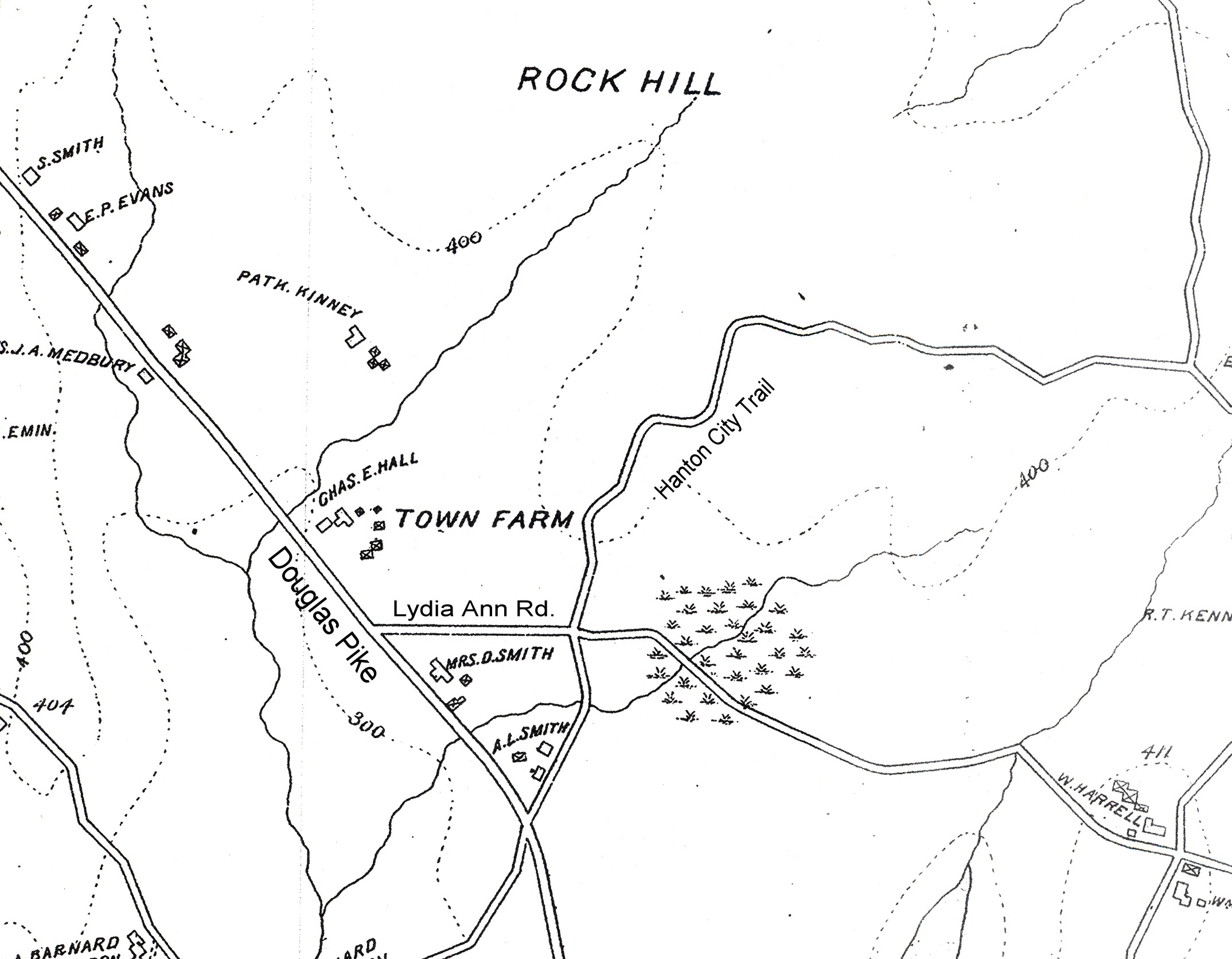
Everts & Richards 1895 Map of Smithfield showing the Hanton City Area.
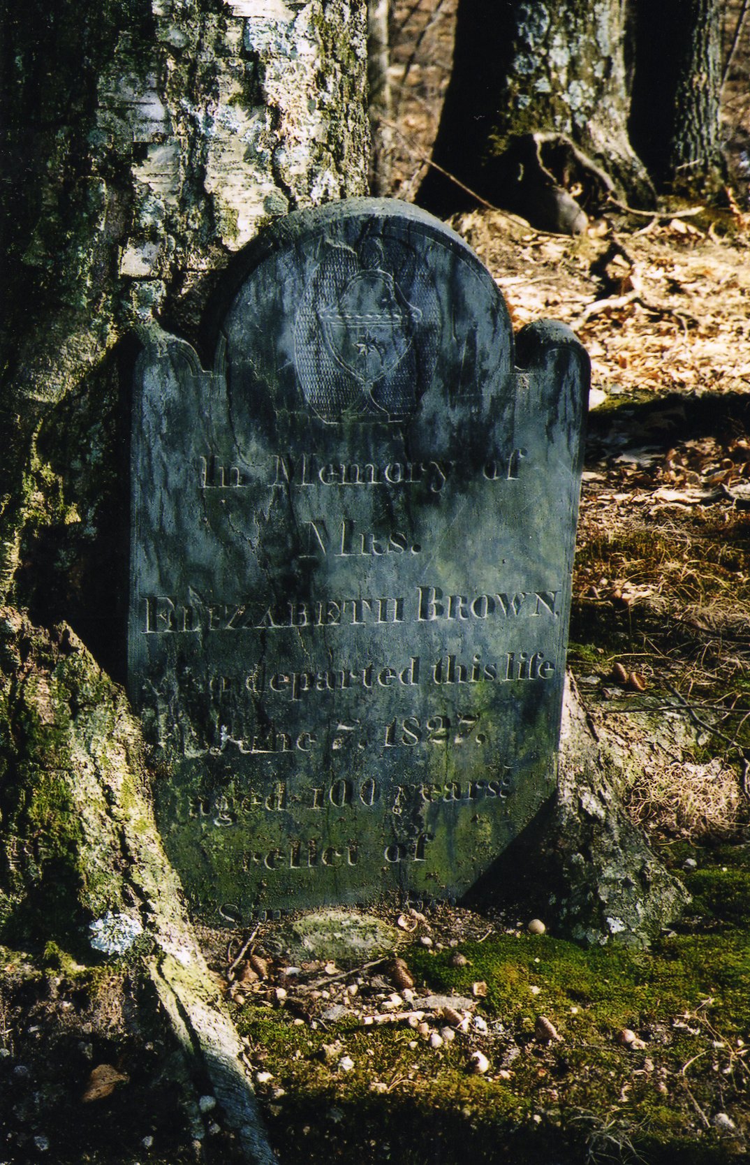
The grave of Elizabeth Brown who passed away in 1827 at the age of 100.
The “old Kinny place” no longer exists, but it appears on an 1895 map of Smithfield. It was located where an industrial park stands today. On the map, the name is spelled “Patk. Kinney ”. It’s assumed that the abbreviation was short for Patrick..
The graves of Dr. Brown and his family, dating to the 1700’s, can be found in Smithfield Historical Cemetery # 94 located behind one of the buildings at the industrial park. Several of the stones are simple upright fieldstones with no inscriptions; however, three of them are of slate and well carved, but damaged. They are:
Dr. Simon Brown, Died 2-10-1807 at age 77, with the inscription, “Here lies a doctor who lived an honest man”
(Son) Lucas Brown, Died 12-25-1786, age 14 yrs.
(Wife) Elizabeth Brown, Died 6-7-1827, age 100 years.
The date of 1786 on the stone of Lucas Brown would indicate that this family lived in the area at the same time the Brown’s farther up into Hanton City did. It’s unknown if they were directly related.
Miss Maroney’s paper goes on;
“Going over this old road brought back many memories to Mr. Harris who is one of the oldest residents of our town. He remembered poems and stories he had heard concerning the Hanton’s and as he quoted fragments of them. I have taken the liberty of jotting them down. There was one that started like this”
“Widow Mack and Short Ann Free(man)
Tanner Ben and Sim Bushee.”
Another:
“Up in Hanton City,
There lived a very tall man.
He had a handsome daughter,
And her name was Hittiean.
She was courted by Lords & Dukes,
And by many a wealthy Knight,
But no one but Philip the Darkey
Could gain her heart’s delight.”
Miss Maroney’s paper continues;
“I remember hearing numerous stories about Hanton City when I was a child. My father, who was always interested in the settlement of the town, would tell us about the Harrington’s. They were also known as the Harrindeens and later the Hantons, which was the old-fashoned way of pronouncing Harrington. From this name of Hanton the name of Haunted City originated. These people must have settled in this district before the Revolutionary War, and he could find no record of their names to make sure which was the correct one.”
“One of the stories told was that a deserter from the British Army married into one of these families, another one was that they were boot makers and tanners. He told of a small shed made of stones by the side of the road near one of these old places where a jug of rum and gingerbread were left for travelers who would be weary from a long journey, so that they could refresh themselves. They would leave a few pennies or five cents, and rested and refreshed continue on their journey. If they could not afford to do this, they were welcome to help themselves. It is said no one ever abused this privilege granted them, being grateful, for it was a long and tiresome trip between settlements.”
A final piece of information contained in Miss Maroney’s paper concerns the variations of the name Harrington, Herrindeen, and Hanton. It appears that even the family couldn’t decide which was the proper way to say it.
“Another story illustrated the confusion as to the original name of Hantons which I have which I believe is due to misinterpretation of their varying dialects:
Three brothers were drawn to testify at an inquiry in Woonsocket. The first one called to the stand was asked his name.
“Wanton Harrindeen” he said and gave testimony.
“What is your name?” the second man to testify was asked.
“Welcome Harrington.” Was his reply.
The interrogator looked a bit puzzled but continued with the inquiry.
When the third brother took the stand, he gave his name as “Tom Hanton” although some attending the hearing thought he said “Tom Tantem”. Anyway, it proved too much for the justice of Peace, who probably roared, “I thought you said you were all brothers. How is it that your surnames are different?”
To which question the probable answer was, “We be brothers. It’s jest as how we say it.”
This last piece of information from the paper appears under Miss Maroney’s name and the date 1936. It looks as if it may have been added as an afterthought. The word’s “probably” and “probable” accompanying the quoted words of the Hanton’s would seem to indicate that the story was anecdotal, and not actually taken from a printed court record.
Franklin N. Strickland
Mr. Edwin C. Harris, mentioned in Miss Maroney’s paper, was born in 1847, making him 90 years old at the time Miss Maroney interviewed him about Hanton City. He was interviewed the following year in 1937 by Franklin N. Strickland, a reporter for The Providence Journal, and is featured in an article that appeared in that paper on February 14, 1937.
The article primarily focused on the landmark known as “The Threshing Rock”, but it also talked about Hanton City. The following are excerpts from the article:
“ West and southwest of Threshing Rock is Cedar Swamp. It lies as within an elongated bowl, the sides of which are slopes alternating with great rocks and bits of tillable land. It is along these hill-sides, particularly those of the eastern slope, that one will find ruins of foundations and cellar holes of homes that once comprised Hanton City – so named because the Hantons – Asa, Thomas, Welcome, Wanton, and Nathaniel Harrington, (?) were the most numerous.
Other families were those of John East, Joshua Smith, Duty Shippee, Benny Brown and the Dailey family, from which family it is said, the celebrated comedian Dan Dailey descended.
Mr. Harris states that the Hantons lived on the east slope. Here are five or six cellar holes and several wells. One cellar hole, in near perfect condition with its outside cellar stairway, was photographed as best representative of these ruins. A large ash tree is growing within the cellar while three oak trees of greater size are within the stone foundation for the home. The house was larger than the cellar – a custom, Mr. Harris said of making the cellar only under the kitchen part of the house. Judging from the apparent age of these trees which did not begin to grow there until long after the house had fallen to decay, this particular location has not been inhabited for at least one hundred years.”
Ethel M. Adams
According to a two-page, typed paper, by Ethel M. Adams, found at the Smithfield Historical Society, portions of Mr. Strickland’s article concerning the Threshing Rock were read at a meeting of the Western Rhode Island Civic Historical Society, held at the Greenville Baptist Church on May 24, 1949. The paper does not say much about Hanton City until the end. The paper concluded:
“The Threshing Rock and Hanton City are closely related.
It is unfortunate that more authentic history of these places is not available but like many other stories of our R.I. background, have been lost through neglect and lack of records.
If it were not for men like Mr. Harris, Maroney, and others with their memories of other days, local history like this would be lost.”
It’s possible that Miss Maroney’s paper from 1936 was also read at this meeting.
Martha O. Tanner & Joe L. St. Pierre
In the late 1960’s, a man by the name of Joe L. St. Pierre of Scituate, became interested in Hanton City and began his own research. He visited the Rhode Island Historical Society, the State Archives, the State Library, as well as local libraries and the Smithfield Town Hall. He didn’t find any records of deeds or other records pertaining to Hanton City, but he did come across the February 14, 1937 Providence Journal article and Miss Maroney’s 1936 paper to the historical society. He eventually met Mrs. Martha O. Tanner, a writer for The Observer. Together, they went out to try and find Hanton City and the Threshing Rock. Mrs. Tanner wrote about their expedition in an article that appeared in The Observer on May 25, 1972, titled: Exploring “The Rumbly”, Threshing Rock Is Part Of Hanton City.
This article focused on their search for the Threshing rock and their eventually finding it, and it also contained interesting information about Hanton City. The following are some excerpts from that article.
“We found another bowl of rocks and another swamp. The nine year old, (Mrs. Tanner’s son.) discovered an upright rock with a pink marble granite face, sheer and smooth, the whole thing contoured like a gravestone. We removed some leaves and felt for lettering, but there was none. I waded out into the swamp near the pink gravestone and found another couple of rocks that appeared to be gravestones and a linear form covered with moss that could have been an outline of a stone foundation.”
I’ve searched for this site during my explorations of the area but have been unable to locate it. (J.A.I.)
“We continued our search by taking what is known as the Lydia Ann Trail. It is too rocky for any motorized vehicle except trail bikes, and sallies into the nearby woods gaining us no new discoveries, we tried yet another trail. This time, at a point where some stone walls met at what seemed to be an intersection of very old roads, we found what appeared to be the remains of an old stone house. Could it be THE old stone house of the Hantons?”
“As we followed the line of manmade walls with out eyes, Joe, who was downhill from me wading through the edge of the swamp, looked down at his feet and came to a dead stop. Where one ancient wall, or the suggestion of it, ran down hill, there, in the water was… What? A circle of stones, a hole, some boards. Joe reached in and grabbed at one of the boards. It was a piece of very thick planking. We had found, without any doubt at all, an old well. Once above the ground, the capstones now lay six inches under the water of mysterious Cedar Swamp.”
This last passage would seem to indicate that the water table in Hanton City has changed over time.
“Looking in my purse, I took out an odd stone we had picked up under one of the overhanging rocks. It was later identified as Indian origin, a tool for scraping hides.
After Mrs. Tanner’s article appeared, in The Observer, people contacted the paper with more information about Hanton City.
One of the photographs that accompanied Mrs. Tanner’s article showed some stone pillars which are located near an old cellar hole. (This is the site I’m calling the Hill Top Farm Site.) The caption read: “In the heart of Hanton City there was a hill ringed by a stone wall with an old foundation, and these four mysterious granite pillars, set in pairs like a miniature Stonehenge. What were they?”
The answer came the following week when Mrs. Thomas Dobson of the Smithfield Historic Preservation Commission contacted The Observer with the answer, which was printed in the June 1, 1972 edition. “…the granite pillars were originally the foundation of an old corn crib. The corn cribs were raised off the ground in this way to keep the stored corn dry and safe, Mrs. Dobson said.”
Margery I. Mathews
Margery I. Mathews of Foster, wrote a letter to the editor of The Observer that included names of people who’d lived in Hanton City. Her letter appeared on June 15, 1972, as follows:
Editor;
One clue to the settlers of Hanton City, the subject of Martha Tanner’s entertaining story, may be found in the oral traditions of the Foster branch of the Harrington family.
“I’ve always known that Harrington’s lived up there “ say my father, Herman Harrington repeating what he had learned from his father, Wheaton, who, describing early variant spellings of the name (Hearnton, Hearnden, Herendeen, to name a few), said that Hanton Road in Smithfield was a derivation.
Following this clue and looking under Hearnton in the early Providence Records and Deed Books, one finds that Benjamin Hearnton Sr., who settled in Providence between 1647-1651, acquired through various transactions, some of the Common land 10 miles north of Providence. It was bounded by the “highway that separated it from Edward Inman’s Wasquadomsett section between the Pawtucket (Blackstone) and Wasquadomsett (Crookfall) rivers. Lands Belonging to Daniel Brown, (a son in law of Benjamin’s), Lawrence Wilkinson and James Balloo were mentioned as bounds. It is land described as “part upland, part swamp.”
Benjamin Sr. deeded parcels to four of his sons; Benjamin Jr., Joseph, William, and Issac. Ruth Eddy, in a family history, (a copy is available at the R.I. Historical Society) places the settlement “somewhat east of the present village of Primrose”. Information from several old maps tends to confirm the Hanton City Road area as the general location. References in later records and deeds show that the four brothers with their large families did settle there.
In May, 1883, Ben Jr., and Joseph entered a complaint to the magistrate that “the highway up into the country was stopped by Elmer Whipple”. Action was convened until the June meeting when five men were appointed to open the highway to the Cedar Swamp. Swampy land is mentioned in the deeds and shown on some maps so the reference probably is the same Cedar Swamp that Mrs. Tanner valiantly explored.
Identifying the first settlers of Hanton City dosen’t detract from the mystery but, perhaps, sets the scene for the next installment! Benjamin Juniors wife and daughter were both named Lidia: was the Lydia Ann Trail named for one?”
Margery I. Mathews,
Foster
To expand on Margery Mathews letter, there’s a passage on page 20, in a book called, The History Of North Smithfield, by Walter A. Nebiker, published in 1976 by New England History Press, that states:
“Ten acres of land were purchased by James Bello around the Crookfall in 1683. Benjamin Hearnton, Sr., in 1684 acquired sixty acres of land in the “Second Division” near Wesquadomeset, in the southern part of town, along the headwaters of Crookfall. This land abutted land belonging to Joseph Hearnton. In 1685, Benjamin Hearnton, Sr., deeded sixty acres to his son Benjamin, who was, “destitute of a place of settlement,” near the southern tract of Edward Inman near Wesquadomeset. Alexander Reede purchased a 1/6 part of the original Inman purchase from Nathaniel and John Mawry, but in the same year, 1686, sold his rights to Nathaniel Payne who deeded the same tract to Alexander Balkham, this land being about Wesquadomeset. Joshua Clarke, husband of Alice Philips, daughter of Edward Inman’s wife, Barbara, received part of the Inman homestead at Wesquadomeset from Edward Inman in 1686; three years later, James, John, and Richard Phillips, sons of Barbara from a previous marriage, received land at Wesquadomeset.”
The “next installment” Mathews spoke of came rather quickly for other people contacted Mrs. Tanner and The Observer with what they knew about Hanton City. Among them was the Harris family, who had retained old records of the settlement including a list of names and old newspaper clippings. Another was Mr. Henry Keene, who grew up in the area and knew it well. Together, she and Joe St. Pierre set out to verify what they were told. On August 10, 1972, another article written by Mrs. Tanner appeared in The Observer titled, “Hanton City Revisited”. This article was the most comprehensive about Hanton City to date.
The article is a long one, and excerpts are included here;
“It was a place rugged beyond endurance, settled by three related families, with surnames Pain, (now Paine), Henended, (now Harrington) and Shepey, (now Shippee). There was never a time when it was not hard to survive. These families from what we have found in the records of Smithfield Record Book #1, unlike their neighbors the Harrises, Mowry’s et al, were not of the gentry but of the class called yeoman, freemen, but more or less on the bottom of the English feudal social heap…free enough to own land on which to set a house of sorts, but too poor to do much else with it.
They appeared in Smithfield at a very early date, when the town was still part of Providence and were reasonably numerous by the 1730’s, when the first Smithfield records are kept. “
Visiting Hanton City today, one can see the hilly, rocky terrain, rising up from the lower wetlands. Farming had to be very labor intensive. The wetlands bred mosquitoes which carried disease, and they must have been very numerous at certain times of the year. This area would certainly not have been anyone’s first choice for a homestead. Why, then, did they settle there? For that, the article refers to the King Philips War which began in 1675. The surnames of Hanton City people are found in war records of the era as having served with the Kings army.
“While there is no record of the Island Woods being one of the so-called “Narragansett Grants”, of land given to the solders participating in that war , there is evidence that the area was a sizeable Indian Village and the scene of some activity. In spite of a lack of documentation, the indications are that these families may have been given the land at that time. The King Philip War was a war that served as a massive excuse for the distribution of free land, in small parcels, to the swarms of English poor that were flocking to the new world. To serve in the King’s army and receive the land formerly of the Indians as compensation for service, was, in fact, the one way for a man to be free, for it was a society in which only the landed counted for anything. It did not matter how small a piece of land it was, nor how rugged the going to maintain it. It was the fact of possession that made the owners freemen, equal in rights to their neighbors.”
On March 27, 2004, I spoke with Mrs. Tanner on the phone seeking further information. During our conversation she informed me that all of her research notes and photos from the 1970’s had been lost in a fire about ten years previously. She also mentioned that she’d heard of a Providence Journal article about Hanton City that was published in the late 1800s, but she’d never seen it. The article wasn’t listed at the Providence Public Library microfilm index however, I was later able to obtain a copy of the article.
In speaking about the family farm locations the article went:
“ In general, the distribution of the Island Woods at that time was as follows: The Shippee’s had a passably good farm, with open land, in the South East Corner. There is a large foundation still standing. The Paine’s held the land to the North of them. It was mostly rocky, but there was some open land lying on western slopes of the enormous flat-topped rocks that occupy this part of the Island Woods. We found their stone walls and spring, but no foundations. Actually, very little of the Island Woods in its pristine state can be used to dig a foundation. The “Islands” are enormous rock masses, rising out of the swamp. Mr. Henry Keene showed us how most of the inhabitants lived in houses set upon the already existing boulders, balancing the framing across the rocks. Others lived in simple homes with a foundation only of raised earth.
We had not reached though, the dwellings of the Henendons, or the Harringtons for whom the place was named. (With all the date amassed, the “right” name would be Herendon for that time). It turned out that in our initial explorations we had missed their lands entirely. Mr. Keene, who had hunted in the woods for upwards of 50 years, took us out and showed us the right place to look. It is off Lydia Ann Trail, close to the Douglas Pike. These are the cellar holes of the Herendon, Harrington families. There are several, a least, well built and holding up after 200 years of desertion”
“Each family’s plot was perhaps 350 feet square.”
The article goes on to mention more stone walls, open wells, and foundations in the area.
In the 1970’s, domestic strawberry plants and grape vines could still be seen near the foundations, and in one case, the remnants of a flower bed. During my explorations I only saw grape vines.
Then the article gave possible reasons as to why the people may have left.
“One could get a sense, merely by taking a good look at WHY the people left. The slightest disaster could have brought starvation: even the more prosperous farmers often had to borrow to but seeds in the spring. A check of natural disasters showed an Earthquake in 1755, a Great Gale in 1768, a great Freshet in 1770, and a Cyclone, which went from Killingly, Connecticut to Mendon Massachusetts on August 15, 1787. Any one of these would have proved discouraging, but on the other hand everyone else stuck it out? It seems wise to assume that so did that rugged lot, the Hantons.
So where did the people disappear? When? And why?
The records take a leap. Up until the time of the American Revolution, there is always a Herendon serving in some capacity in town affairs. And Presto – they are gone. We unearth the roster of the Continental Militia for the periods of 1775 –1789… there is not one Paine (as the names have changed to their present form), not one Harrington and not one Shippee. Though there is still occasional mention of those families (pt THAT family, really…for they were closely interrelated) showing up on the Smithfield Records in the 1790’s in the years immediately following the Revolution there is not a sign of one participating in town affairs.
What could have accounted for the disappearance?
The Tories, it that is what they were, all had their property confiscated at the end of the war. The one document that might have been conclusive – a book known as the “Blacklist” which was an index of citizens who remained loyal to the king, was no longer available and this probe hit a dead end.”
So, if the Hanton’s had their land confiscated, then where did they go? The article relates how Joe St. Pierre followed up on a piece written by Florence P. Simister, which appeared in the Rhode Island Yearbook entitled “Rhode Island Exodus”.
That story mentioned how some men from Smithfield bought land in St, Johnsbury, Vermont for one dollar per acre after the Revolution, but made no mention of Hanton City. On a hunch, Joe traveled to Vermont, and discovered all of the Hanton City names buried in the St. Johnsbury records.
Shortly after this article appeared, Sheila Nelson of Washington D.C. wrote a letter to The Observer that appeared in the August 17, 1972 edition. She stated that Hanton City is mentioned in a book called The History of Providence County, Rhode Island, written in 1891 by Richard M. Bayles, Volume II, on page 487. The section reads;
“The following list gives the principal places of interest in the town: – Villages – Slatersville: Forestdale: Waterford (North Smithfield side): Union Village; Branch Village. Hills – Dawley; Trout; Mathewson; Crookfall. Swamps – Cedar; Pine; Mattiy; Nipsachet. Slatersville Reservoir. Woonsocket hill, which is 576 feet high, and has a pond near its top. Boiling Spring. “The Blunders.” At Hanton City, which is a corruption of the family name Herrenden, is a granite ledge that was once worked.”
Joe St. Pierre also published an article which appeared in the September, 1973, issue of Yankee Magazine. The article included three photographs. The article was published by Yankee as part of a segment on New England ghost towns,, and asked the question, where did they go? To answer the question, the article stated;
“Such resourceful people surely would not have surrendered their continuous struggle with the land. What then? We found the answer in the records of the Revolution.”
“Whereas, John Howland, Jr., Jeremiah Ballard, Ichabod Ballard, Luke Ballard, Nathan Paine, Jr., Elisha Herrendeen, James Stone, Thomas Herrendeen, Jr., and Nathan Paine, preferred a petition, and represented unto this Assembly, that they are now prisoners under arrest, because they cannot actively comply with the laws requiring of them military duty.”
“After the war, harassed by their neighbors either for being Quaker pacifists, or Tories, and plagued by the money shortage of the post-revolutionary period, the residents of Hanton City bitterly left Rhode Island for New York, Massachusetts, and Vermont.”
Beverly Dobson
These articles captured the attention of Mrs. Beverly Dobson of the Smithfield Historical Preservation Commission who decided to take matters one step further and attempt an archeological dig. A story about it appeared in The Providence Journal on February 3, 1973 titled; “Target: Origin Of “Lost Village””, written by Lou Urenbeck.
The article indicates that Marley Brown and Harold Juli, both anthropology graduate students at Brown University, were assisting Mrs. Dobson in this endeavor.
The following is quoted from the article;
“Mrs. Dobson, an avid student of the town’s history, said several popular stories have tried to explain the village’s origin and demise.
Some have maintained, Mrs. Dobson said, that half-breeds, blacks, and Indians were ostracized from Smithfield’s population centers and forced to live in seclusion. This explanation would account for the official non-recognition of the village.
Others, she said, think the village was inhabited by generations of illegitimate persons born at the town’s poor farm which once operated on Douglas Pike.
Still others think a backwoods people lived there by growing cranberries and cutting cord wood.
Mrs. Dobson said there are two theories about what killed the village: a plague which swept through and took people with it and the attraction of wages at the Georgiaville Cotton Mill at the beginning of the 19th century.
The three investigators hope to reconstruct the lost village’s past with three methods: an archeological study of the area through aerial photographs and limited digs to unearth artifacts; a title search of the land; and gathering the traditional stories of the village.”
The Smithfield Historical Society has no records pertaining to the study, and unfortunately, Mrs. Dobson had since passed away.
On April 12, 2004, I visited the Brown University Library archives, and confirmed that no archeological study ever took place in Hanton City.
New Information Surfaces
On October 6, 1889, an article appeared in The Providence Journal titled, “A Buried City”. At the time of the article, two people, Tom Hanton, about 80 years old, and his sister, were living in a small shanty in the area. They were said to be the last of Hanton City’s inhabitants. The following are excerpts from that article:
The article starts off talking about Hanton City in that picturesque way writers did in that time. Towards the end of the first paragraph it states:
“Hanton City was in its prime 50 years before Newport had a title to be called a city, and a hundred years before Providence came into municipal existence.”
It’s interesting to note that Newport was first settled in 1639, and incorporated as a city in 1784, and later re-incorporated in 1853. Providence was first settled in 1636, and became a city in 1832.
If the author is talking about the first time Newport was incorporated as a city, that would place the date Hanton City was “in its prime” around 1734. If by, “came into municipal existence”, the author meant when Providence also became a city, this would indicate the year Hanton City was “in its prime” to be about 1732.
This seems reasonable as other research indicates the first families moved to the area shortly after 1675. Fifty years is more than adequate time to clear the land and build roads and structures. If this was the “prime” of Hanton City, this could be when the name was first used, which would coincide with the time Smithfield became a town separate from Providence. (1731)
The article goes on:
“Today, if a question were put to its whereabouts, a very small proportion of Rhode Island’s inhabitants would be able to give an answer, or even claim a knowledge of its existence.”
This would be an indication of the lack of documentation on Hanton City, even in the 1880’s. The same quote might apply today.
The article goes on to state that the area is also referred as “Haunted City” by newcomers to the town, but then adds:
“…but this is so obviously incorrect that it excites only amused contempt by the natives. Those who aspire to corrector speech than the minority of men, name it “Harrington City”, from which the shorter name (Hanton City) was derived by a familiar New England process of word-change. But even that is not right. “Herrenden City” is better, and nearest to all absolute correctness is “Herrendeen City”.
During my research, I was unable to learn of any ghostly tales or legends connected to Hanton City. However, in modern times there are Internet and social media sites that offer alleged paranormal experiences.
The article then goes on to say how difficult it is to locate Hanton City in 1889.
“What remains is buried, not under thick lava deposits, but in a wild tangle of woods. There is, or was, a road leading to the principal plaza of Hanton City; but it is now so overgrown with brush and its ruts are so gullied and washed out by the rain, that it is hard to distinguish from the forest through which it runs. It is thus a serious undertaking to visit the extinct city.”
The reporter stated that one would need a guide to find Hanton City and upon taking the train from Providence to Stillwater, he and a companion found one, a young man by the name of Rasselas who led them to the area and to a dilapidated cabin, “made use of recently by wood cutters or hunters, for and old stove was there, and some signs of straw bunks.”
Rasselas told them it belonged to A??? Hanton, and it was located at what was known as “Sam Shippee Corner”. The location of “Sam Shippee Corner” is unknown today.
“This and many other houses of the old time settlement were occupied by the family of Herrendeens, one of the oldest, and once one of the most honored names in the northern part of the state. “
The reporter relates how the Herrendeens were shoemakers who made shoes by hand and carried them to Providence to be sold. This seems to agree with an earlier reference to some in Hanton City being Tanners by trade. Tanned hides would have been necessary for shoe making. “Tanner Ben” from the rhyme comes to mind.
The reporter goes on to say how the invention of machinery and other labor saving ways of making shoes put the Harrendeens out of business, and thus, began the decline of the settlement.
“There is another tradition, probably as well grounded, that many of the former inhabitants were workers of the stone quarry farther north, which was once an important source of revenue for this part of the state.”
In speaking about the quarry, the article states:
“Indeed, that fine granite was bedded there the great columns of the Arcade stand to-day as witnesses; for they were dug by the forgotten people from the long neglected ledge near Hanton City.”
It’s generally accepted today the the columns of the Providence Arcade were quarried in Johnson.
“Still another tradition is this, and very likely as true as the rest, that the settlement in the woods was a resort for the wild young men of a century ago and more, where many a carousal was carried on in the old Colonial days; the tribe that lived there, sunk from the prominent and useful place the Herrendeen name once held in Smithfield, was given over to the keeping of these vicious resorts and to the plying of stone cutting and shoe making till the closing of the quarry and the end of their branch of the shoe business practically resulted in their extinction.”
The reporter doesn’t cite the origin of this statement, but it’s possible that it came from the guide. It’s true that the Herrendeen’s were a large family and held several town offices in the Colonial Era, and thus had a prominent name. Yet as far as the area being a “resort” for the carousal of “wild young men”, seems very unlikely.
The article goes on to speak of a cellar hole that the guide has led them to.
“Here the city begins. Tramping through the long wild grass that was once the front yard of the mansion, under scrawny old apple, pear, and peach trees, overgrown with wild – once cultivated – grapes, you could reach the site. The cellar stands almost as strong as the builders made it, its tough old mortar holding like iron. It is about 12 feet square and five or six feet deep. A well preserved flight of stone steps takes you to the bottom, if you wish to mingle with the wild growth of briars, brambles and underbrush there; where the doorway once was is a broad flat stone. But most noteworthy and significant of all, there rises in the middle of the cellar a thriving butternut tree, fully 18 inches in diameter, that gives the old site the crowning touch of picturesque decay and suggestion of long neglect. A pile of stones also marks the place where stood the great stone chimney, built, as was the Colonial fashion, on the outside of the structure. A rank bed of glossy green leaves in the rear, on close examination, turns out to have been a bed of lilies, now given over to their own ways and leaping into wilderness”
“Down from this elevated knoll where the house stands is the well, a tiny shaft, but well made with carefully chipped stones, and with its water still clear and pure.”
The description of this site seems to match the one that I’m referring to as The Ox-shoe Farm, located just off Hanton City Trail. Some Lilies of the Valley flowers can still be found at this site. I’ve made a map of this site and have included it in this paper.
The author talks about going on to another cellar hole about a “quarter of a mile” away, “in a straight line”, and then onto several others, all of which had butternut trees growing out of them. He makes note that the Hanton’s must have eaten a lot of butternuts, some of which must have fallen through the floor boards of their cabins and sprouted long after the houses had rotted away. He makes note of the fruit trees, peaches, apples, and pears, and comments how the locals come to Hanton City in the fall to pick what they like.
The fruit trees are said to be growing in the “clearings” where the cellar holes are located. Today, (2004), the holes are completely reclaimed by the woods and the fruit trees are long gone.
The reporter comments: “Hanton City had one advantage its more modern successors have not achieved to such an extent. It was an ideal city of parks, without the necessity of having a landscape gardener. In fact, there was more park than city.”
The author talks about cellar holes with large trees growing out of them. Then he describes the remains of another house that he finds.
“Perhaps the very last of these houses to be abandoned, and one of the smallest structures of them all, is to be met with on the road that leads out of the “Island Woods”, situated on a good sized meadow. The home is still there – that is, the materials are, but they are strewed over the ground in a woeful manner. The big chimney in the middle still retains its pristine vigor, but the bare roof timbers , the side walls, with the plaster still clinging to them like iron, lying on the ground, and the cellar full of debris, speak of hard times. It is but a few years since this home was abandoned by a thrifty Irish farmer who now has as good a farm as there is in the neighborhood and who has moved only across the road a little further down”
This would indicate that the settlement was not abandoned all at once.
The article goes on to prove this point when it talks about Hanton’s still living in the area! The article picks up at:
“ The last of the Hantons lives beyond. He, too, has moved away from the city of his fathers; but evidently too late to escape the Hanton blight. Old Tom Hanton he is called, and is about 80 years old; (This would place the year he was born about 1810.) he lives with his sister in a single room little shanty, that presents indeed a pitiable picture of what a once prominent and energetic race has come down to. The exploring party called upon the Hantons, as in duty bound after so free an inspection of their ex-city. Miss Hanton was not expecting callers, for she was in dishabille, which meant, in her case, a short skirt and barefoot, but it might not have made any difference if she had been expecting them. The old man is the nephew of the three leading Hantons who made shoes and carried them to Providence. His grandmother died 50 years and more ago, he declared, at the age of 104, and was also born in one of the houses, her grandfather having lived there for a good while.”
If Mr. Hanton’s grandmother had died 50 years earlier, that would place the time of her death about 1839. If she was 104 years old, it would mean she was born about 1735.
The reporter states that Mr. Hanton’s grandmother, was the grand-daughter of Sam Shippee.
“Of the old times and changes the old man had lived through since Hanton City had decayed in the woods, he had much to say. The trips to Providence and “Winsocket” or “The Falls”, as that city was called, the convivial habits of Hanton City, the price of wood –“it didn’t fetch nothin’ then to what it does now” – when they used to haul it down to Limerock, the old saw mills that have disappeared, to the Justices of the Peace who used to marry them, and didn’t charge nothin’, only got filled up with rum and a supper as their fee, the fruit that the villagers cultivated, and the “sunny flowers and leelocks”that used to delight their eyes with color and their noses with fragrance – he had plenty to talk of.”
It seems like Mr. Hanton was glad to have visitors and enjoyed the company. What the article says next is very interesting.
“It was a lively and enterprising place, he concluded, when he was young, but they had all got poor, and sold out to anybody, and died off, so that now Irish and Italians occupy some of the fairest acres of the town.”
The phrase, “but they had all got poor” would seem to indicate that the Hantons were not always poor, as some believed, or, perhaps they were poor compared with their more well-to-do neighbors outside Hanton City, but didn’t consider themselves to be poor. After all, life was hard for most people in the 17th and 18th Centuries, rich or not.
Maybe their standard of living fell lower after the mills began to make shoes for less then the Hantons could sell them for. If this was the case, then afterwards, the Hantons went from poor to very poor.
The phrase, “and sold out to anybody” is also interesting. It would indicate that their land was not confiscated after the American Revolution as many had thought. This, however, does not go against the fact that some residents of Hanton City did relocate to Vermont and other areas after the Revolution. As stated, the land is harsh, and perhaps the reason they left was to try their luck elsewhere after falling on “hard times.”
Next, the reporter goes on to editorialize what was said to be a popular view of the time, and still is today, the disappearance of good farmland. Perhaps this was the reason for the article in the first place…
“The last of the Hantons never made a truer observation than when he noted that they “all got poor and sold out” in his native town, and that such land as is cultivated is going out of the hands of the old New England stock. Many wiser heads than his have noted the same unfortunate course of events, and have done more, have tried to stop this depopulation of New England farming districts. The decay and disappearance of Hanton City is only a rather picturesque case of a complaint widespread through New England. The conditions of life have driven the abler and more vigorous to the cities or to the West; the others left behind have been unable to keep up, and have abandoned lands and homes or have “run out”.
The rest of the article goes on much the same way. The same can be said today, of young people opting for an easier life with better pay in cities rather than take over the family farm. This most likely happened in Hanton City too.
The article concludes that Hanton City has small hopes of ever returning to what it was, and adds that “its chief industry is to furnish free peaches to townspeople who know where to go”.
Part 4 – Hanton City, Fact vs. Folklore
So what’s the true story of Hanton City? After considering all the available information it seems many of the questions can now be answered.
Was, as one legend goes, Hanton City settled by freed slaves and Native Americans? The answer is, “No, it was not.”
Research seems to indicate the area was settled by poor Englishmen, known as Yeomen. Although it’s possible that freed slaves or Native Americans lived there among other Hanton City residents at one time, such as during the Civil War when the Underground Railroad was in operation, but historical evidence doesn’t indicate they were the first settlers to the area.
Did people from the town’s poor farm (a.k.a. Asylum) settle Hanton City? No, they did not.
The Town of Smithfield operated a poor farm and asylum on the north side of Douglas Pike just west of Lydia Ann Road between the years 1835 and 1870. It sheltered the towns indigent and mentally ill during this time.
According to a modern historical plaque erected at the site, an 1850 census shows there were 31 inmates housed at the institution that year, many of which consisted of single mothers with children.
The poor farm and asylum were closed in 1870 after accusations of mistreatment of the inmates, and newspaper accounts of the time state the inmates were transferred to other institutions, and not sent to live in Hanton City.
The poor farm had a cemetery, which today is Smithfield Historical Cemetery # 101, located on a hill overlooking where the farm used to be. A modern granite stone at the site indicates that the first burial took place in 1838 and the last in 1880. All of the grave markers are simple field stones set upright and shaded by a cusp of oak trees. None bear any inscription and by the small number of stones, it can be assumed that there may be some unmarked graves considering the farm was in operation for 35 years.
The dates of 1774 and 1784 on the two tomb stones in the Brown Farm cemetery are proof that the Hanton City settlement was there long before the poor farm was established in 1835.
Was Hanton City settled by British solders who deserted? No it was not.
This story may have arisen from a passage in Ruth Mowry’s 1916 paper mentioning British soldiers deserting upon arriving in America, or Agnes Maroney’s 1936 paper telling of a “deserter from the British Army” marrying into one of the Hanton families. By the time of the American Revolution, Hanton City had already been established.
The Hantons, the Shippee’s, and the Pains, were in fact English, and according to previous researchers, records indicate that they fought in King Philips War, and then, it is speculated, were given their land as payment for their service. Therefore, they were not deserters.
Did Prison Inmates settle in the area? The answer is no, they did not.
There’s no evidence that a population of ex-prison inmates settled in the area. This story is possibly an off -shoot of the freed slaves/poor farm refugee’s theory.
Then which story is correct?
It seems that the simplest theory is the most probable; that the area was settled by people wanting to own their own land, no matter how rugged or hard to maintain.
When did the Hanton’s and other families first settle there? By all indications, after King Philip’s War which would mean they arrived shortly after 1676.
When Was Hanton City Abandoned, and Why?
When was the settlement abandoned? That question requires some speculation. The short answer is that the settlement probably wasn’t abandoned all at once, but over a series of years.
The 1937 Providence Journal article mentions a cellar hole that had a large Ash tree and three larger Oak trees growing out of it, and it was speculated that the trees were about 100 years old at the time. When one takes into account that the trees couldn’t have begun to grow until after the house had rotted away from neglect, that puts the time that this particular site was abandoned in the early 1800’s.
Of course, there are variables at play here. Were the trees 100 years old, or were they older, or younger?
Could a natural disaster have ended the settlement? An examination of the area reveals a lot of rocky ledge, and thus, not good land for farming. Martha Tanner’s research reveals that in 1755, there was a great earthquake in northern Rhode Island which caused ledge to shift, which in some cases cut off underground water flow that fed wells. With so much ledge in the area, could Hanton City have been affected?
Mrs. Tanner also reported that there was a severe gale in 1768, and a cyclone in August of 1787, and a massive hurricane in 1815. These natural disasters would have affected everyone, not just those living in Hanton City, but given the precarious existence of the Hanton’s inhabitants, any one of these calamities could have caused some to give up and try their luck elsewhere.
However, one has to take note of the dates on the two graves in the Brown Farm Cemetery, 1774 and 1784. This proves that some people were still there after the earthquake of 1755 and the gale of 1768. In a time when owning land meant having the right to vote and gave one higher social standing, it’s likely the option to move away was only considered as a last resort.
Some have theorized that a plague swept through the settlement, but it’s unlikely that a plague wiped out the entire population. There were periodic small pox epidemics in Rhode Island, and medical help in Hanton City was limited, But when Tom Hanton was interviewed by the Providence Journal reporter in October of 1889, made no mention of a plague killing off the population. Instead, he cited other reasons.
Then there’s the American Revolution to consider. Contrary to popular belief, not everyone was in favor of a revolution to break away from England. Since the Hanton’s, as well as other families of the settlement were English, it’s possible some may have held loyalties to the crown. Martha Tanner’s 1972 Observer article points to this. According to the article, up to the time of the Revolution, (1775), there was always a Herendon serving in some capacity in town affairs. From 1775 to 1789, (The time of the Revolution), there are none listed in any records. Nor are members of other Hanton City families. However, cemetery evidence proves that at least some of the Browns were still living there in 1784, and written evidence seems to indicate that some Hantons remained too. Therefore, it’s unlikely that anyone’s land was confiscated, but political and social pressure may have caused some to decide on their own to move away.
So if some moved away, then where did they go? In Martha Tanner’s article that appeared in The Observer on August 10, 1972, she makes reference to another article written by Florence P. Simister which appeared in the Rhode Island Yearbook titled “Rhode Island Exodus”. The article was about a man named Dr. Johnathan Arnold who sold land he owned in St. Johnsbury, Vermont, to some Smithfield men for one dollar per acre. The Rhode Island Exodus happened in 1781 to Danby, Vermont. Dr. Arnold went to St. Johnsbury in 1787. Martha Tanner, goes on to state that research by Joe St. Pierre in both Vermont towns showed that some of the names from Hanton City coincided with those in Vermont. This would indicate that some people began to move away from the settlement in the late 1700’s.
But did everyone leave at once? Apparently not according to information gleaned from the October 1889 Providence Journal article. There were a few hardy souls who hung on and continued farming the rocky soil – for awhile, anyway.
It seems that the dawn of the Industrial Revolution contributed to the demise of the settlement. The new water powered, belt driven machines operating in the new mills could produce goods faster and cheaper than those formally produced by hand. The Hanton’s, being wood cutters, tanners and shoemakers were obviously hurt economically.
By the early 1800’s, mills were springing up along the Blackstone River as well as in villages close to Hanton City such as Stillwater and Georgiaville, and North Smithfield and Woonsocket. (The first mill in Stillwater was built in 1836.)
The mills offered the opportunity to earn wages and a hope for a better life. Working in the mills was hard, to be sure, with long hours and monotonous work for low wages, but at least the wages were steady. Compared to the back breaking labor of quarrying stone, and the uncertainties of farming, it might have seemed like a fair trade-off. Faced with their prospects, it’s possible that many of Hanton City’s younger people were drawn away for a life in the mills, much like young people are being drawn away from the family farms in the mid-west today for better pay and security in cities. Thus, it’s possible that abandonment of the settlement began in the 1830s-40s, and continued over the ensuing years until the later part of the century.
Conclusion
Thus, when all is considered, it seems that one can conclude the following:
Hanton City was established by three related families sometime shortly after 1676, and its inhabitants began to move away shortly after the Revolutionary War in the 1790’s.
By the early to mid 1800’s, the settlement was in decline partially due to the proliferation of mills and their promise of a better life. Over time, younger people moved away and those who remained grew older and unable to adequately work their farms.
Apparently, a lot of the folklore concerning Hanton City is wrong – grown from grains of legend and speculation with each retelling until becoming accepted as fact.
In 1881, Mr. Steere most likely didn’t mention Hanton City in his book on the history of Smithfield because at the time of its publication Hanton City was for all intents, abandoned. It’s interesting to note that Mr. Steere does mention many of the names of persons associated with Hanton City, so it isn’t as if the area was purposefully ignored.
There’s still one mystery attached to Hanton City; if several large families lived in the area for a period of more than 120 years, where are the people buried? As of this time, only one cemetery, the Brown’s, has been found among all the cellar holes. What of the other families who lived there? Where are their graves?
Part 5 – Hanton City In The 20th Century
One might be interested to know that Hanton City had residents living there well into the 20th Century. These people were not decedents of the original settlers, but two families that came later, long after Hanton City had been abandoned.
The first was the Daniel Family. They had a house located on top of Rocky Hill, about one mile from Douglas Pike and a mile from Rocky Hill Road.
On April 16, 2004, I met with Mr. Norm Daniel on Hanton City Trail and learned new information.
Mr. Daniel spent his early years in the house, which stood from 1936 until 1973. He moved away in the 1950’s, and in later years, his parents used it as a summer place, keeping it closed in the winter. The house didn’t have indoor plumbing or electricity. Water was obtained from a nearby well and kerosene lamps provided light.
On June 13, 1973, someone set fire to it and it burned to the ground. The fire was reported by an airplane pilot who’d just taken off from North Central State Airport. By the time firefighters arrived the building was a total loss. Nobody was ever charged with the crime.
The family raised hogs, and had between 500 and 800 of them at one time. Back then, the area was clear of woods for the most part and the hogs kept the vegetation low.
Mr. Daniel said that he and his brothers used to have to walk more than a mile to go to school and recalled one winter when they were snowed in for three weeks because Hanton City Trail was never plowed by the town. I noted the remnants of asphalt on certain areas of the road and was informed that it wasn’t laid down until the early 1950’s.
Mr. Daniel didn’t know much about the history of Hanton City itself. All he knew was what his brother, who was ten years older, had said to him when they were kids. Supposedly, according to Mr. Daniel, the settlers of Hanton City had left to go fight for George Washington during the Revolutionary War. Some never came back.
Mr. Daniel escorted me to a nearby cellar hole just off Hanton City Trail which I’ve named the Ox-shoe Farm. ( He pointed out one stone wall that begins at the edge of the road and runs deep into the woods. “That wall runs for 1900 feet.” He told me. He also directed my attention towards three earthen dams off to one side of the cellar hole property, and informed me that was where sewage disposal trucks used to dump raw sewage in the 1950s before the town put a stop to it.
The Wilcox Home Site
Mr. Daniel also showed me another site, farther down Hanton City Trail towards Douglas Pike, about 200 feet before Lydia Ann Road. This, I was told, was where the Wilcox family once lived, and once the site was pointed out to me, I could just make out the remains of a foundation where the 13 by 13 shack once stood. Nearby was the well, now capped by a large rock to prevent accidents, Between the well and the house, according to Mr. Daniel, was where the family raised a garden.
The entire Wilcox property was about 15 acres. The family was poor, but did own a car, and a motorcycle. According to Mr. Daniel, the house was a temporary shack. Mr. Wilcox had hoped to build a larger house, and I was shown a little farther into the woods, where Mr. Wilcox had begun excavating a cellar hole where he planned to put his new home.
Mr. Daniel couldn’t tell me much more about the family, only that they all left for California sometime during World War II. He stated that they didn’t bother to sell the property, they simply abandoned it, and his father bought it at a tax sale.
Hanton City Genealogy Information
The following came from excerpts of early Smithfield town records, located at the city hall in Central Falls. Note that the last name is spelled differently. This list is by no means all inclusive. It only goes to show that the three original families of Hanton City all intermarried.
For more genealogical information consult web sites such as Ancestry.com or Rootsweb, or Google.com.
Joseph Harendeen, (Jr.) born in England, chair maker, died March 13, 1777.
Had a wife, Mary.
A son, Israel. Born March 7, 1740
A daughter, Ruth Harendeen, who married Johnathan Mowry.
A son Johnathan.
A son Ezekiel.
Joseph Harendeen, died Dec. 20, 1779.
Freelove Harrenden filed a will May 25, 1801. Had a son Nathan.
Thomas Harendeen, died March 1763.
A separate record states he died May 6th, “interstate”.
Had a wife Jude.
Elijah Harendeen is mentioned in the 1805 tax records as owning property.
Joe Harindeen is mentioned in the 1810 tax records as owning property.
Benjamin Brown married Alice Herrendeen October 5, 1746.
Hosanna Brown married Elizabeth Herrendeen October 19, 1766.
Dorius Brown married Francis Herrendeen Feb. 12, 1735 (Francis was the male)
Zeriah Brown married Henry Shippy July 29, 1743.
Arron Herendeen married Abigal Chillson June 10, 1734.
Dorius Herendeen married Johnathan Ballard April 27, 1760.
Israel Herendeen married Hettable Shippe March 19, 1759.
Levi Herendeen married Mary Wilbur Sept. 17, 1759.
Roda Herendeen married David Shippee January 1, 1769. (David was the son of Nathan)
Rufus Herendeen married ??? Do—-man, November 22, 1754.
Arron Herrendeen was born June 10, 1752.
Elizabeth Herrendeen was born Sept. 12, 1732.
John Herrendeen died Oct. 25, 1732. Probate records 1-3 pg 31.
Lyde Smith married Israel Brown Dec. 15, 1757
Joshua Smith married Amey Herrendeen July 5, 1750.
Patience Smith married Alethere Herrendeen Feb. 21, 1779.
Tail Brown married Kesia Herrendeen Feb. 21, 1768.
Henry Shippee, born Feb. 1719/20, married Zerviah Brown on July 29, 1743 in Smithfield. One of their children was born in Adams Massachusetts.
Peter Shippee, born Sept. 20, 1725, died before July 2, 1812 in Massachusetts, married Zerviah Herendeen on Dec. 28, 1748, in Smithfield. She died about 1772, and was the daughter of John and Ester Herendeen.
Joseph Shippee born Feb. 8, 1716/17, died April 4, 1803, married Berthiah Herendeen on Aug. 2, 1774. She was born about 1717 and died before 1789, and was the daughter of John and Ester Herendeen. They had 6 children.
Martha Shippee, born Aug. 18, 1742 in Smithfield, maiired Stephen Herendeen May 3, 1767 in Smithfield.
Elizabeth Shippee, born about 1713, married Stephen Herendeen in 1733.
Mary Shippee born about 1724, married Joseph Herendeen on Nov. 12, 1738 in Smithfield.
Biblography
Henry F. Wallings map produced in 1862 showing names associated with Hanton City.
(Book), History Of The Town Of Smithfield, By Thomas Steere, 1881.
The Providence Journal, “A Buried City”, October 6, 1889.
Everts & Richards 1895 Map of Smithfield, R.I. (From their Providence County Atlas).
Woonsocket Call & Evening Reporter, “The Waste Places Of Old Smithfield”, by Ruth A. Mowry, April 29, 1916.
Woonsocket Call & Evening Reporter, “Island Woods And Hanton City”, by Wilson S. Mowry, October 28, 1916.
Research paper, “Hanton City of Haunted City”, by Agnus R. Maroney, 1936. (two pages)
The Providence Journal, “Rediscovering Threshing Rock Near Hanunted City”, By Franklin N. Strickland, February 14, 1937.
Research paper, “Threshing Rock” by Ethel M. Adams, C. 1937, (two pages).
The Observer, “Exploring The Rumbly – Threshing Rock Is part Of Hanton City”, By Martha O. Tanner, May 25, 1972, Vol. XVII, No. 13.
The Observer, “Mysterious Pillars identified”, June 1, 1972.
The Observer, “More About Hanton City”, By Margery I. Mathews, June 15, 1972.
The Observer, “Hanton City Revisited”, By Martha O. Tanner, August 10, 1972, Vol. XVII, No. 24.
The Providence Journal, “Target: Origin of Lost Village”, By Lou Urenbeck, February 3, 1973, Local News, Pg. 5.
The Providence Journal, “Plane Spots Smithfield House Fire”, June 14, 1973. (Pertains to Daniel house fire.)
Yankee Magazine, “Ghost Town – Hanton City, Rhode Island – Where did They Go?”, By Joe L. St. Pierre, September, 1973, issue.
(Book) The History of North Smithfield, By Walter A, Nebiker, New England History Press, C. 1976
The Observer, “Putting Hanton City Back On The Map – Smithfield Researchers Document Lost Village”, By Ron Scopelliti, May 6, 2004.