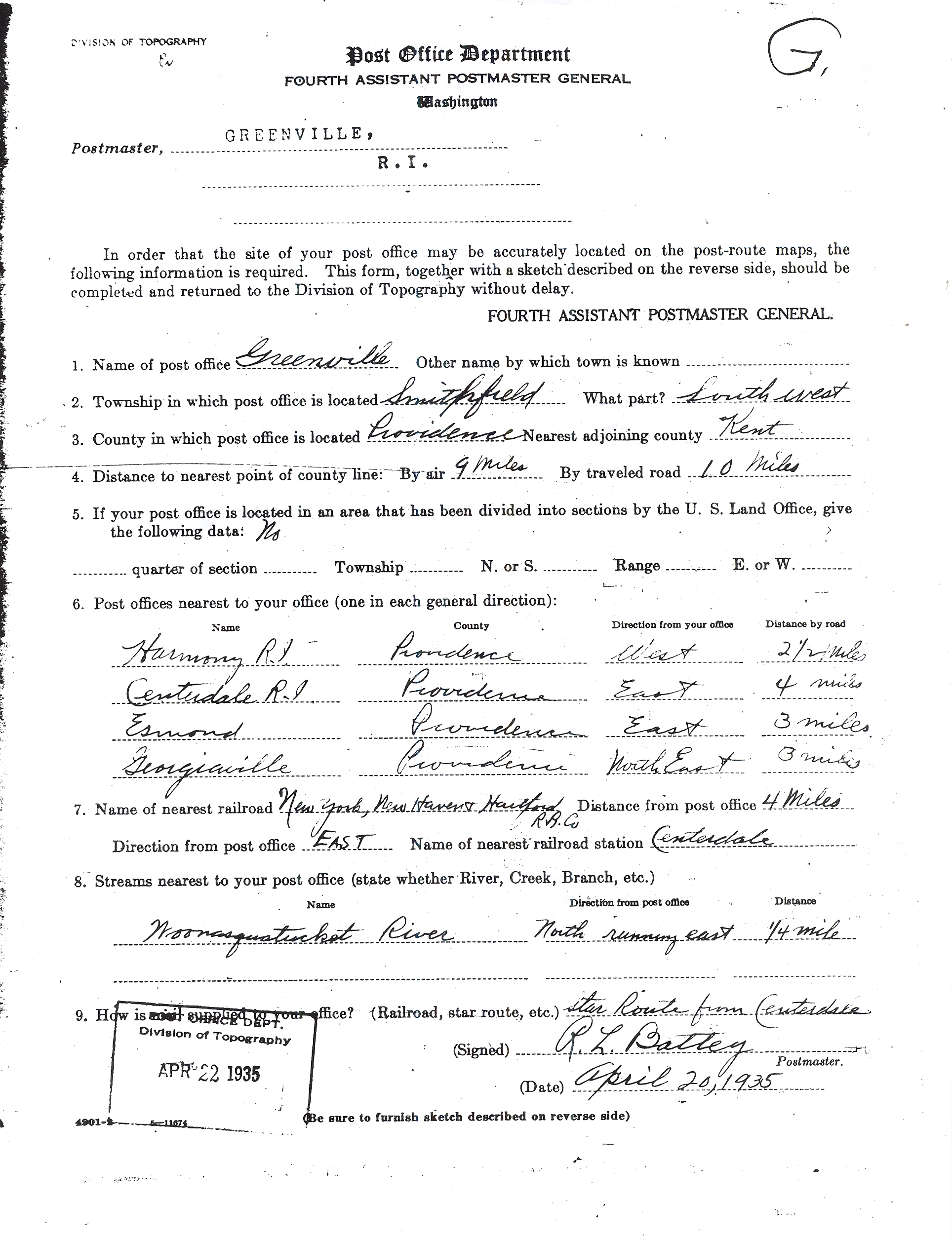
Click on images to enlarge.
Looking south from Austin Ave.

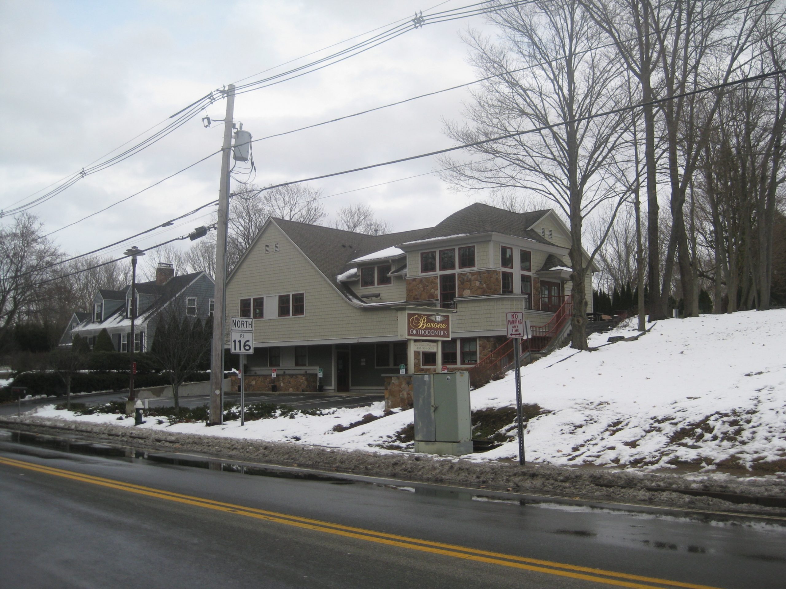
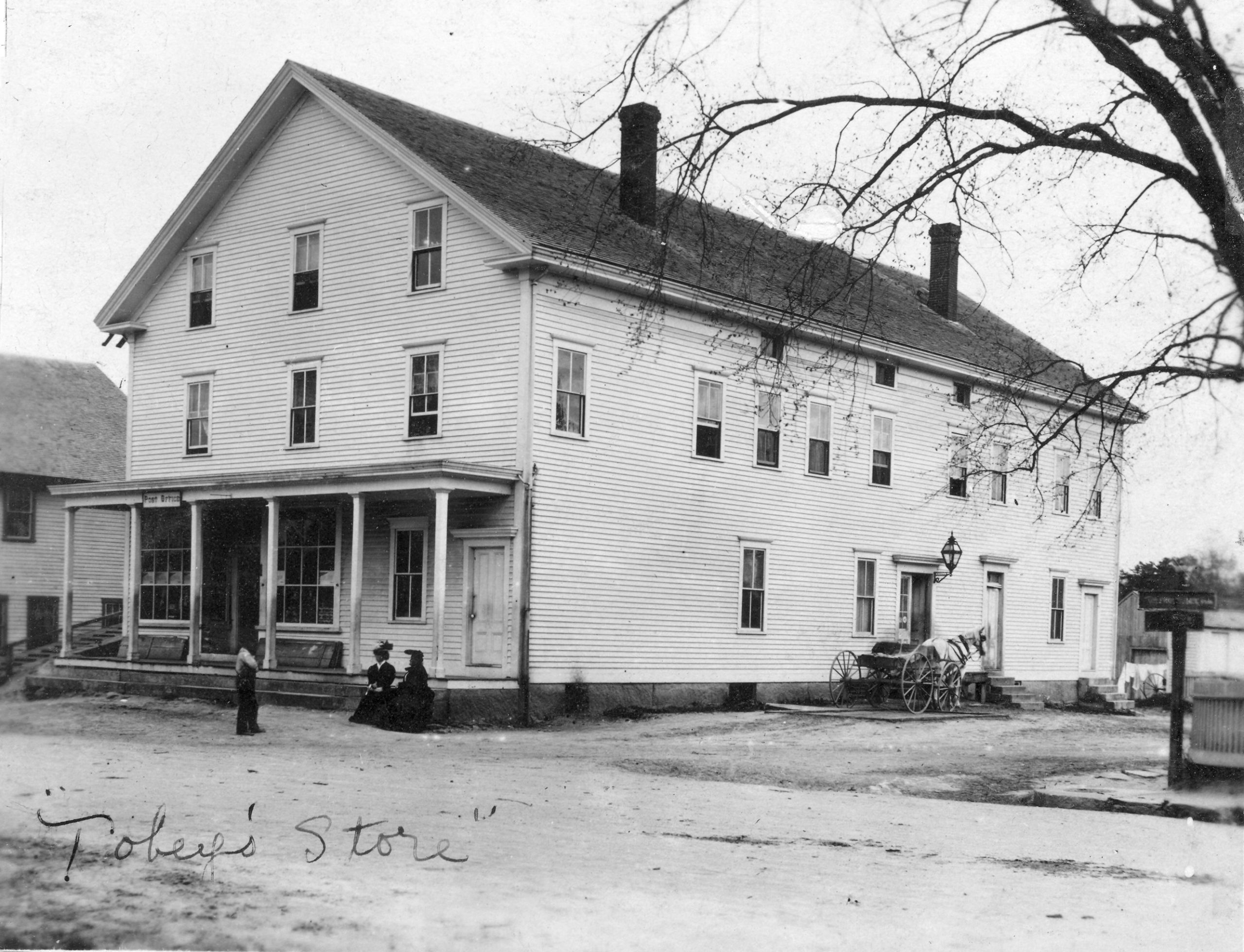
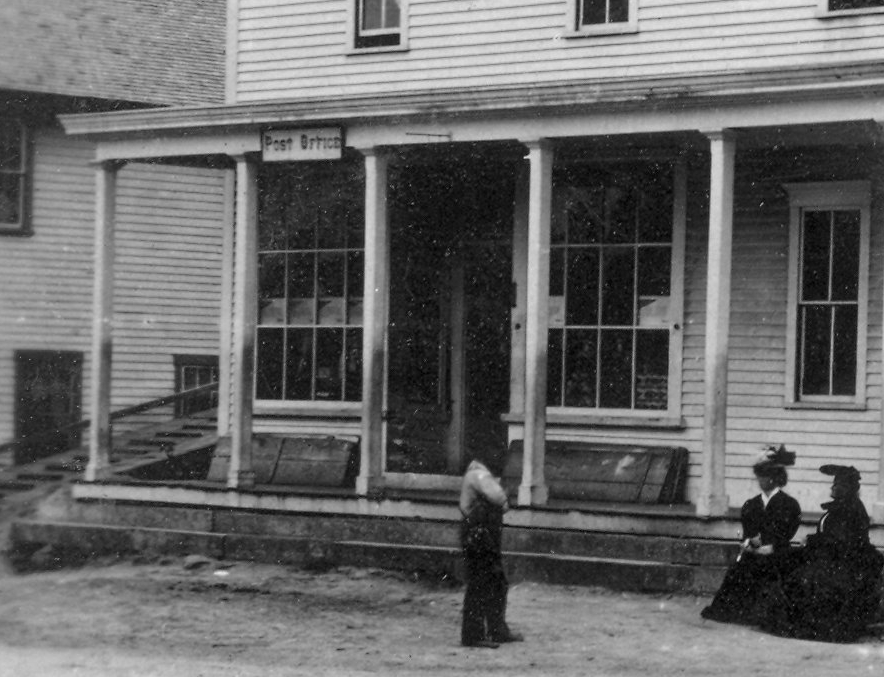
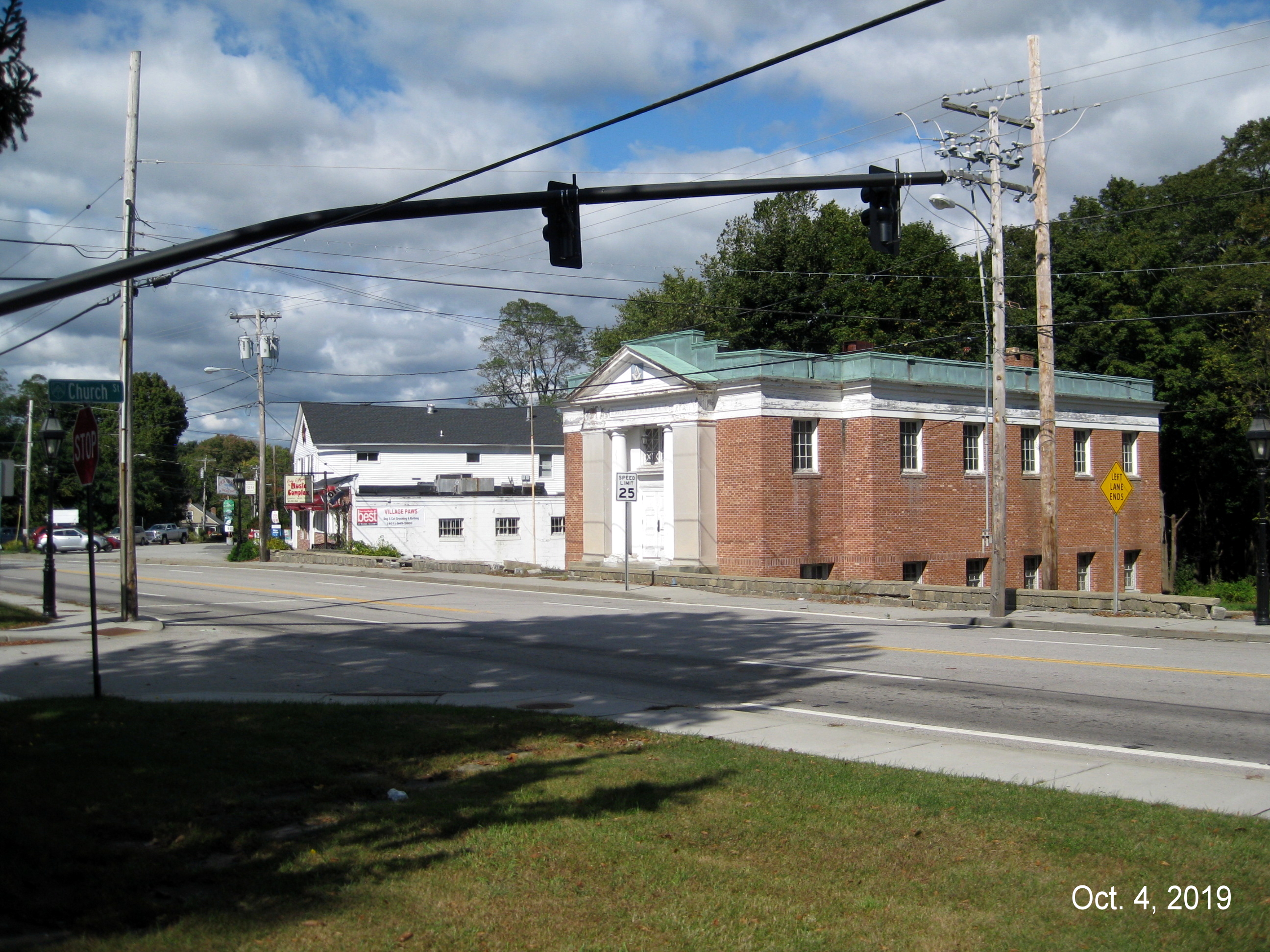
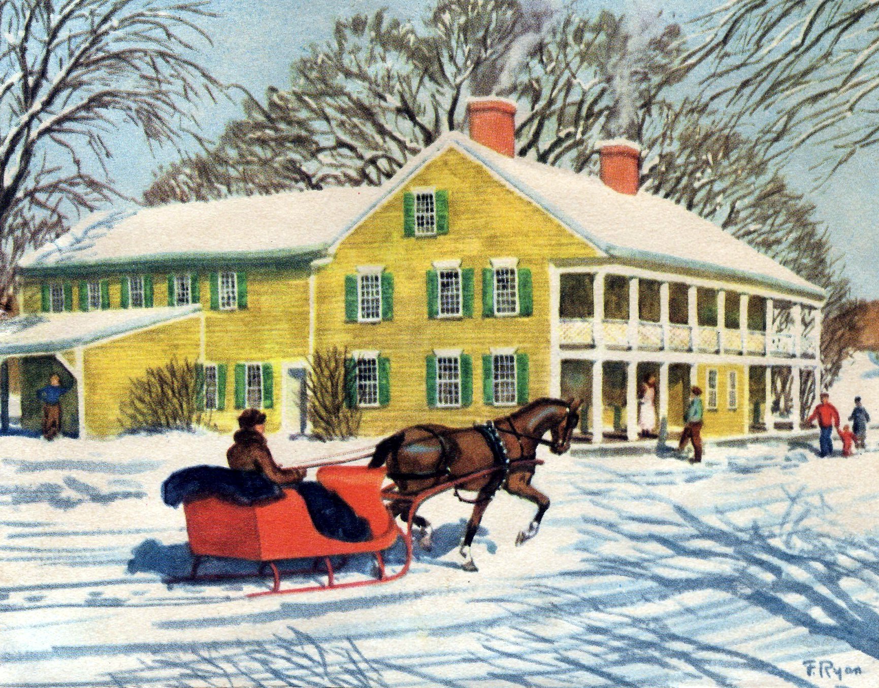
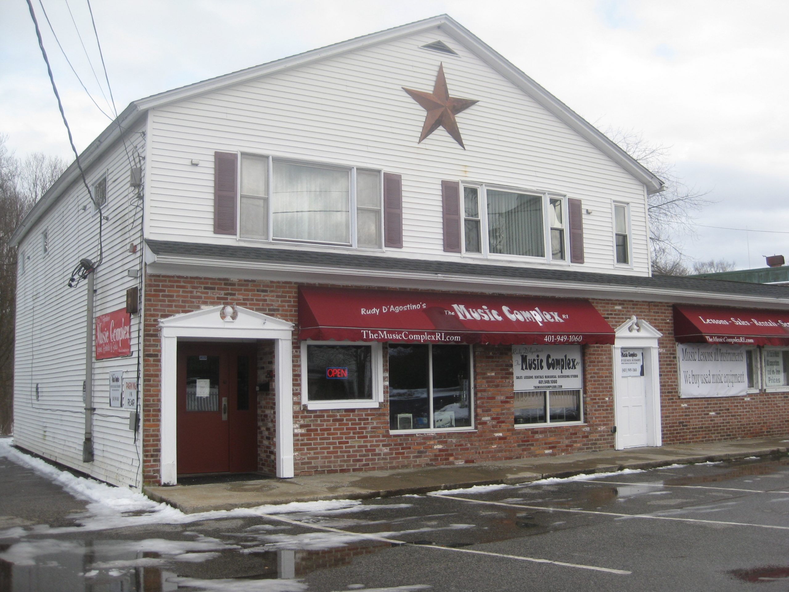
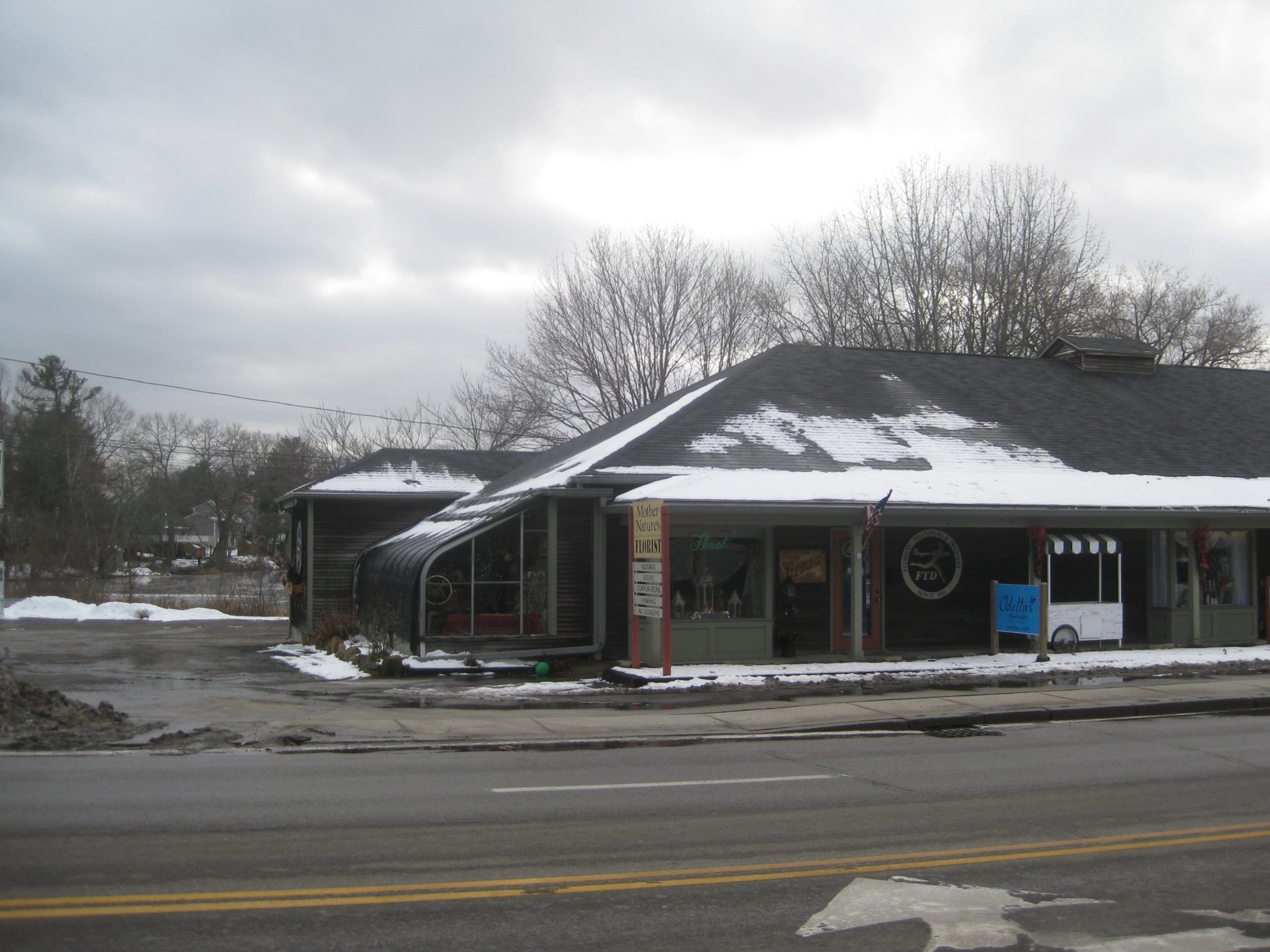
Where the Greenville Grange Hall once stood.

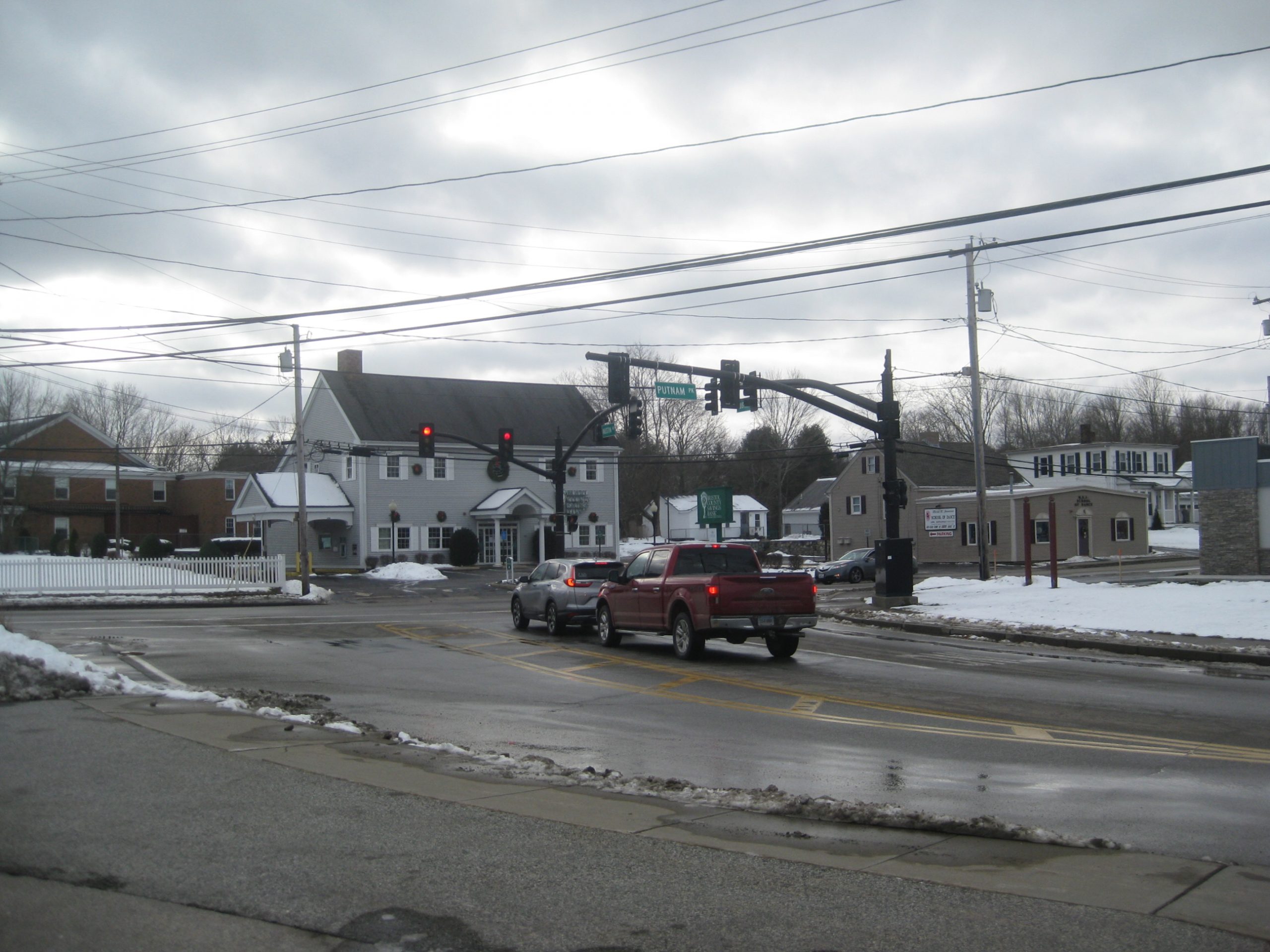
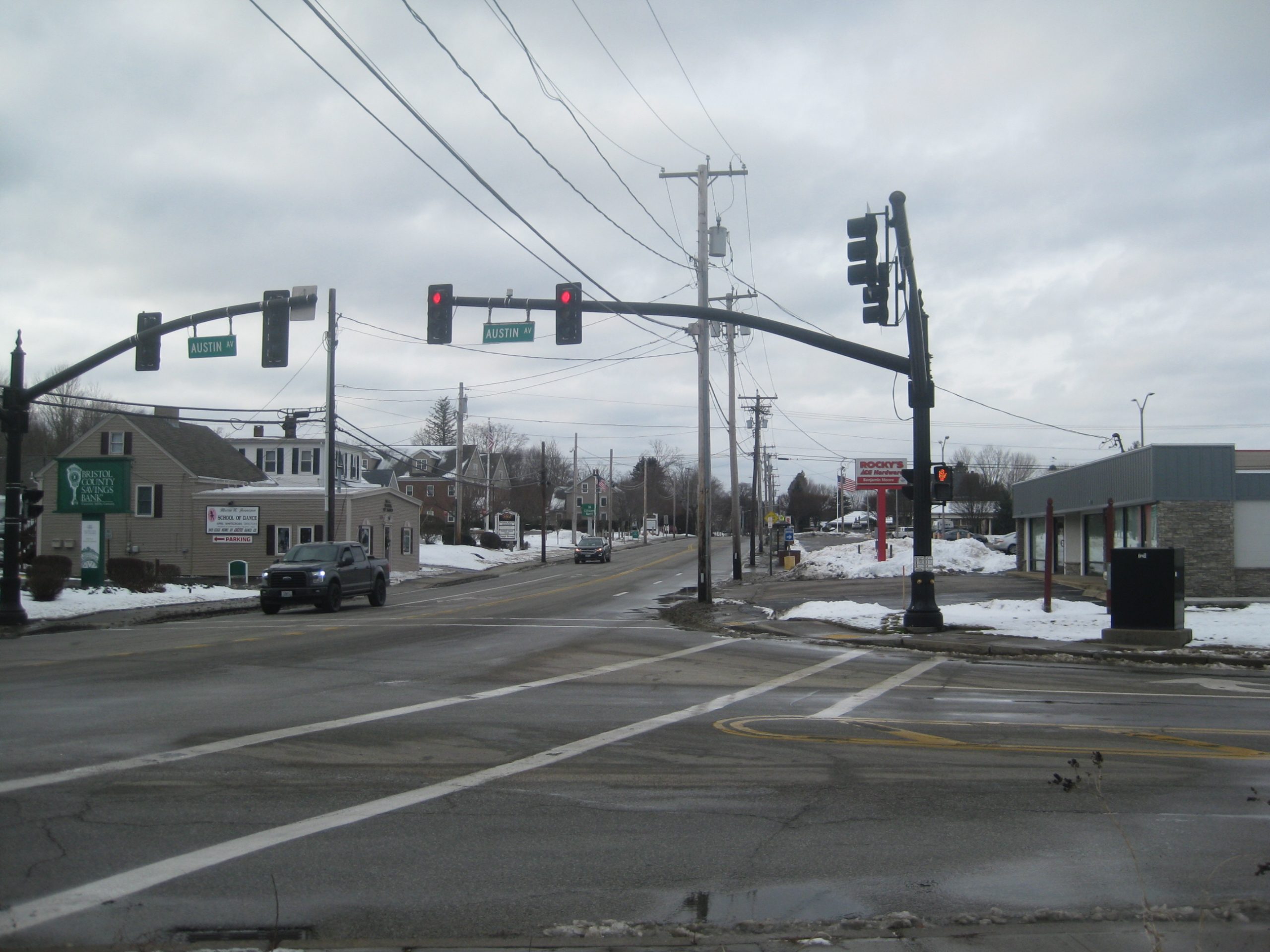
Austin Ave and Rt. 44
Looking west on Rt. 44
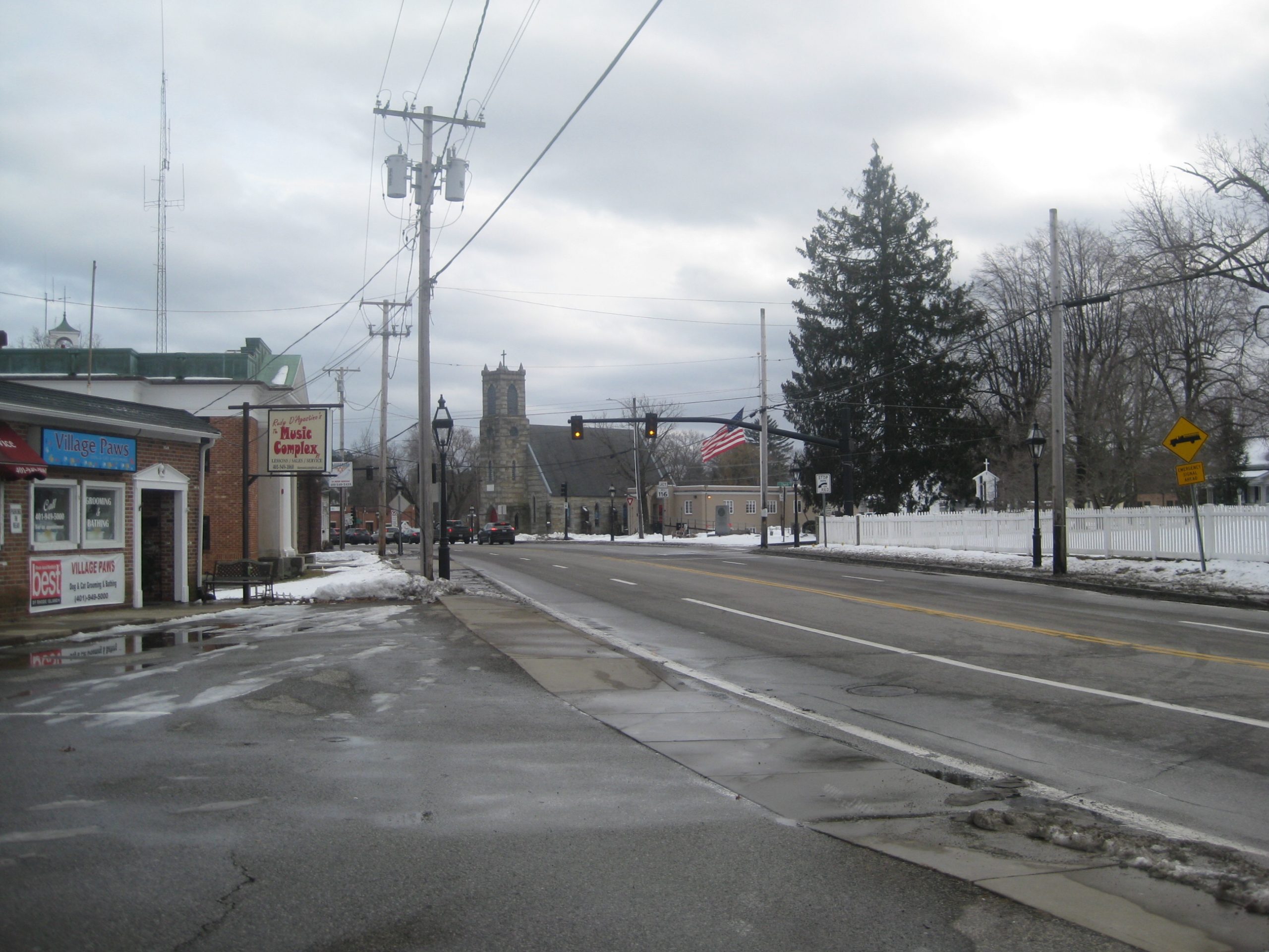
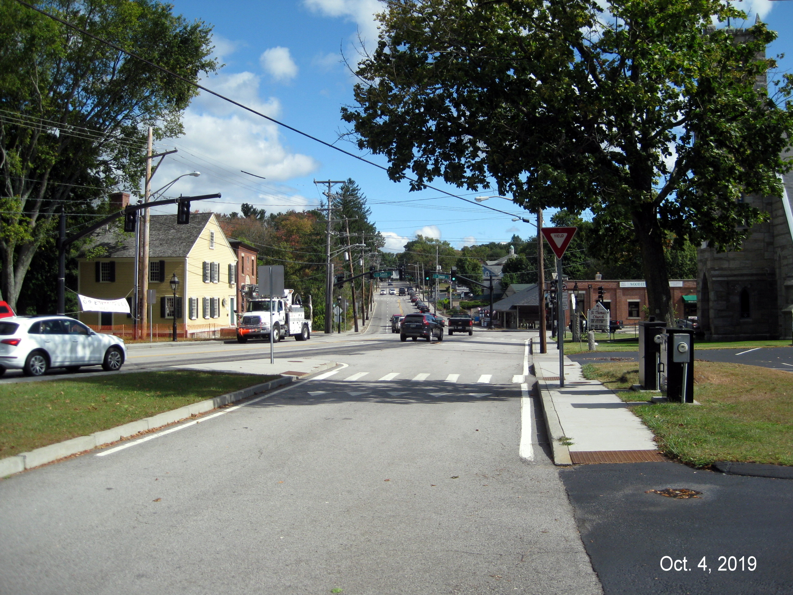
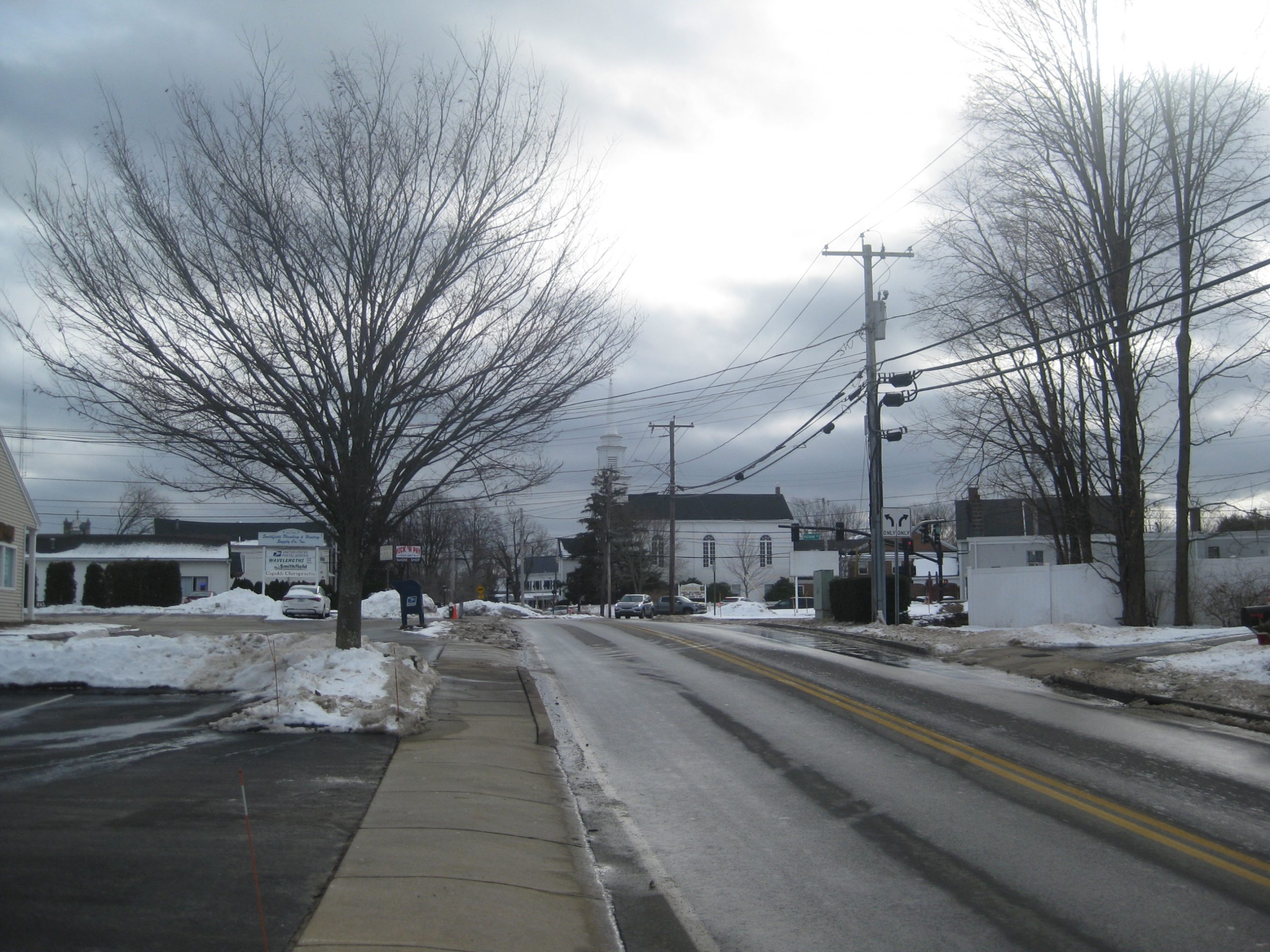
Looking east on Rt. 44 towards St. Thomas Church


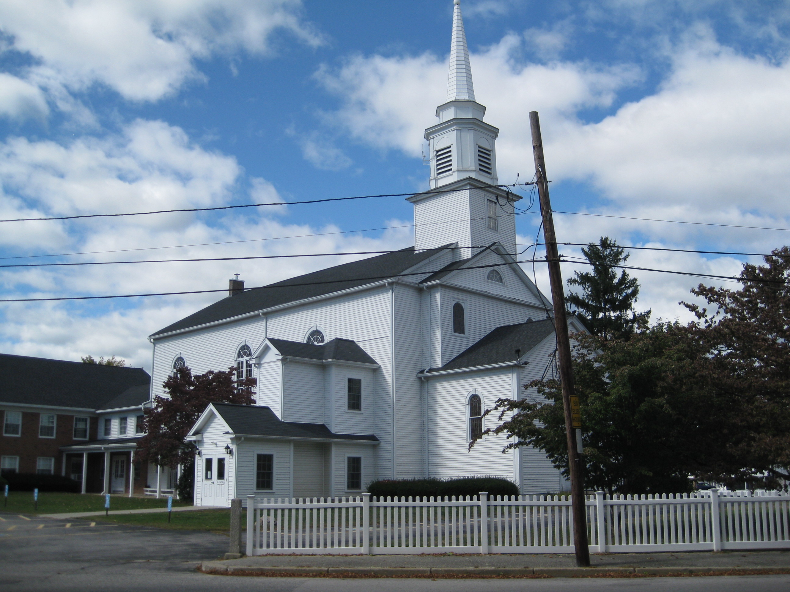
Greenville Baptist Church
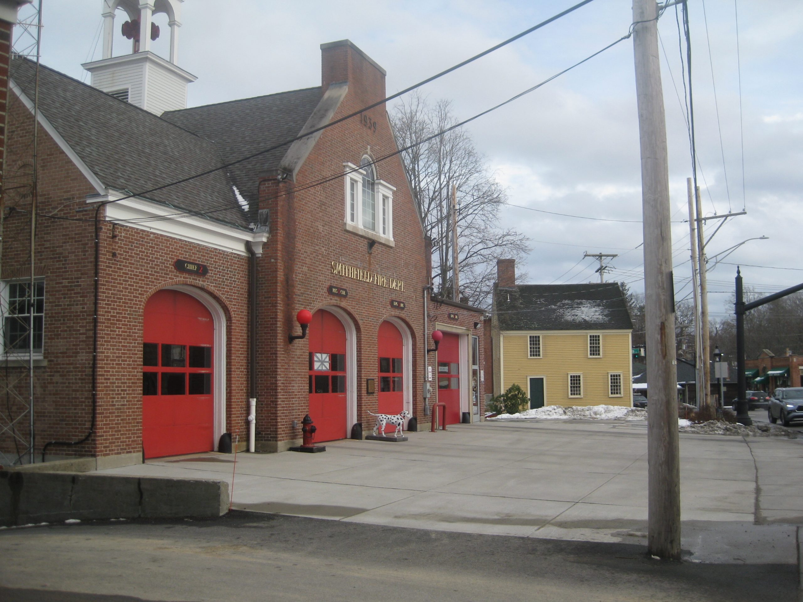
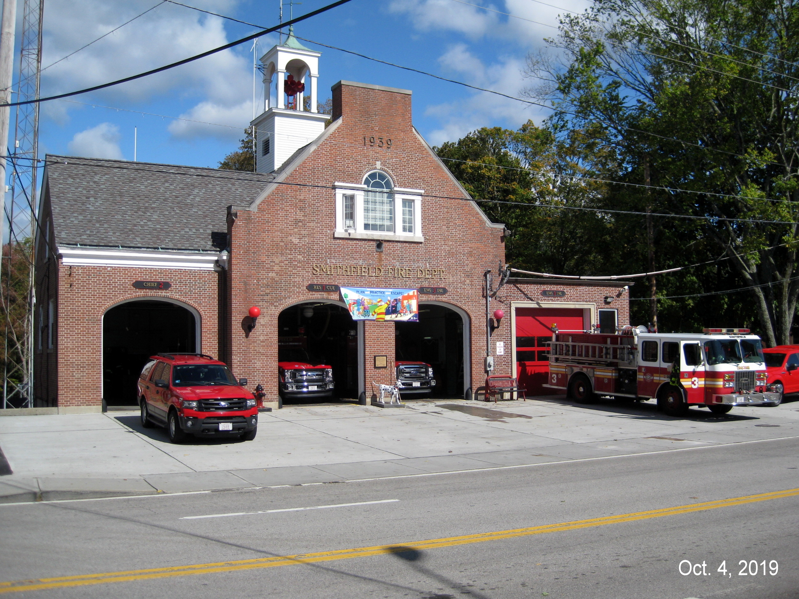
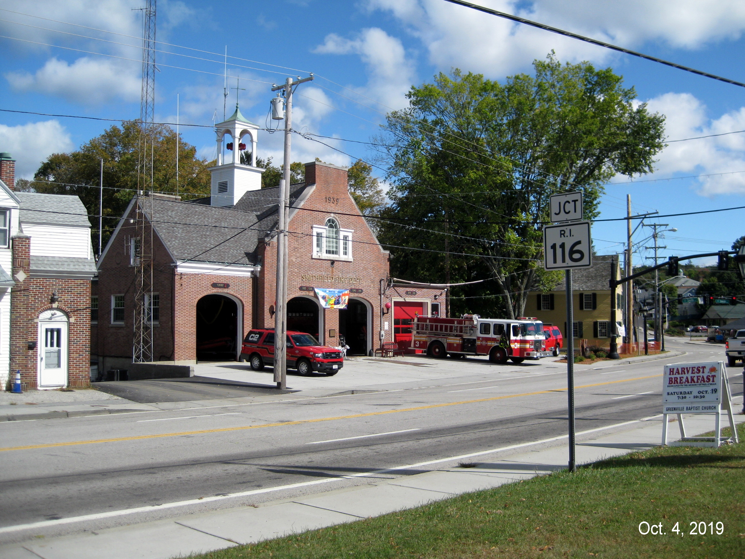
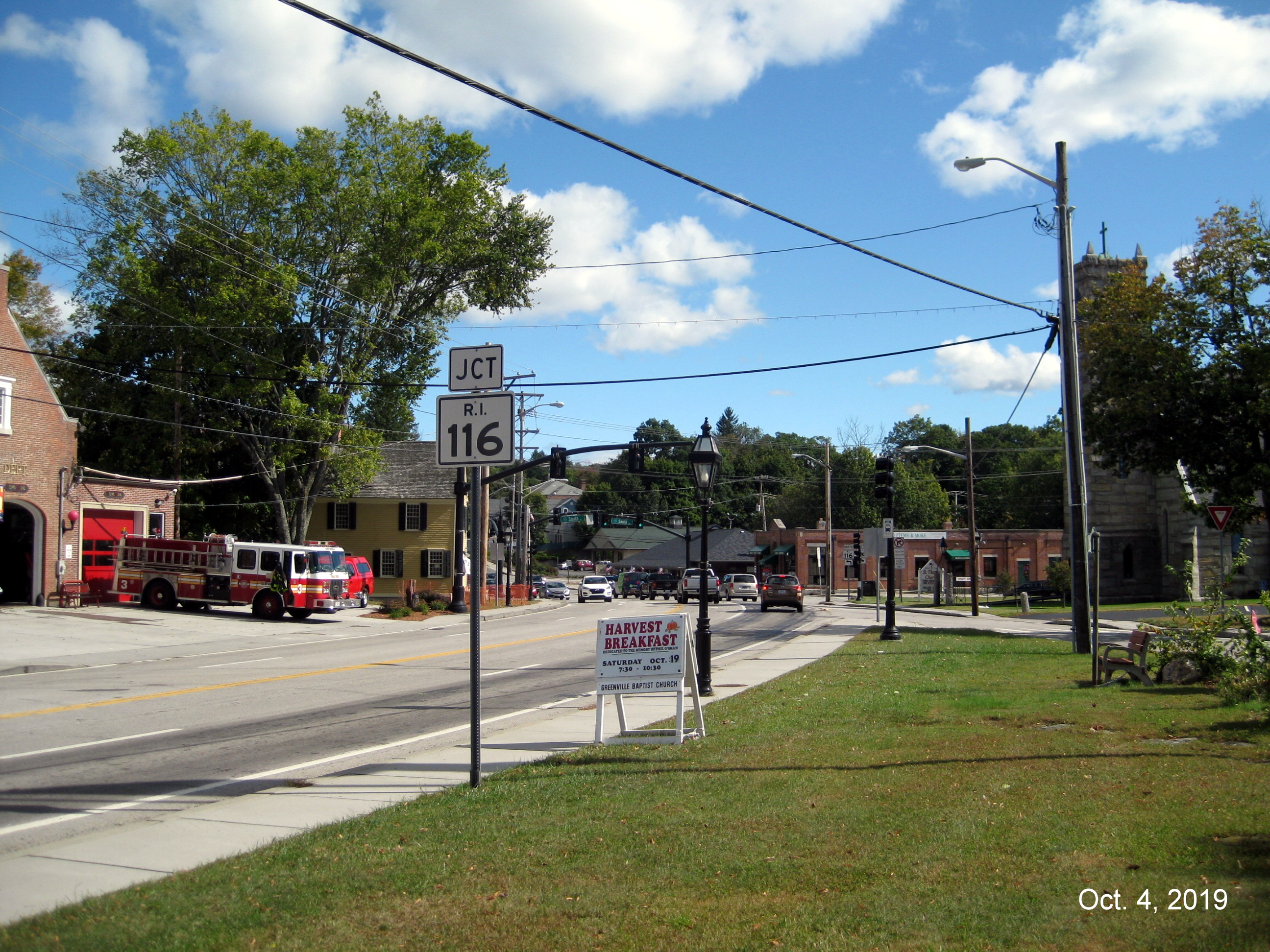
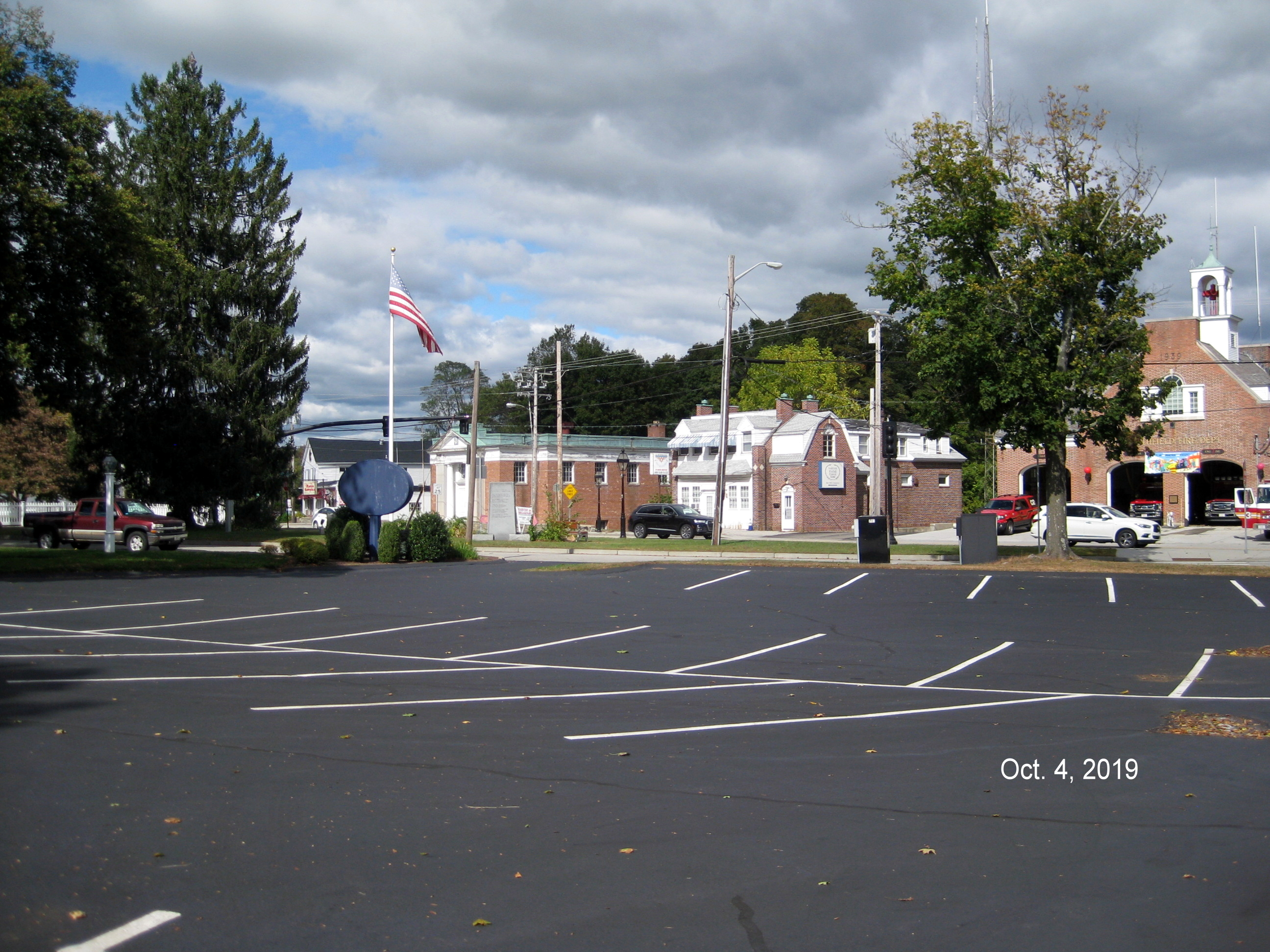
Greenville Fire Station

St. Thomas Church
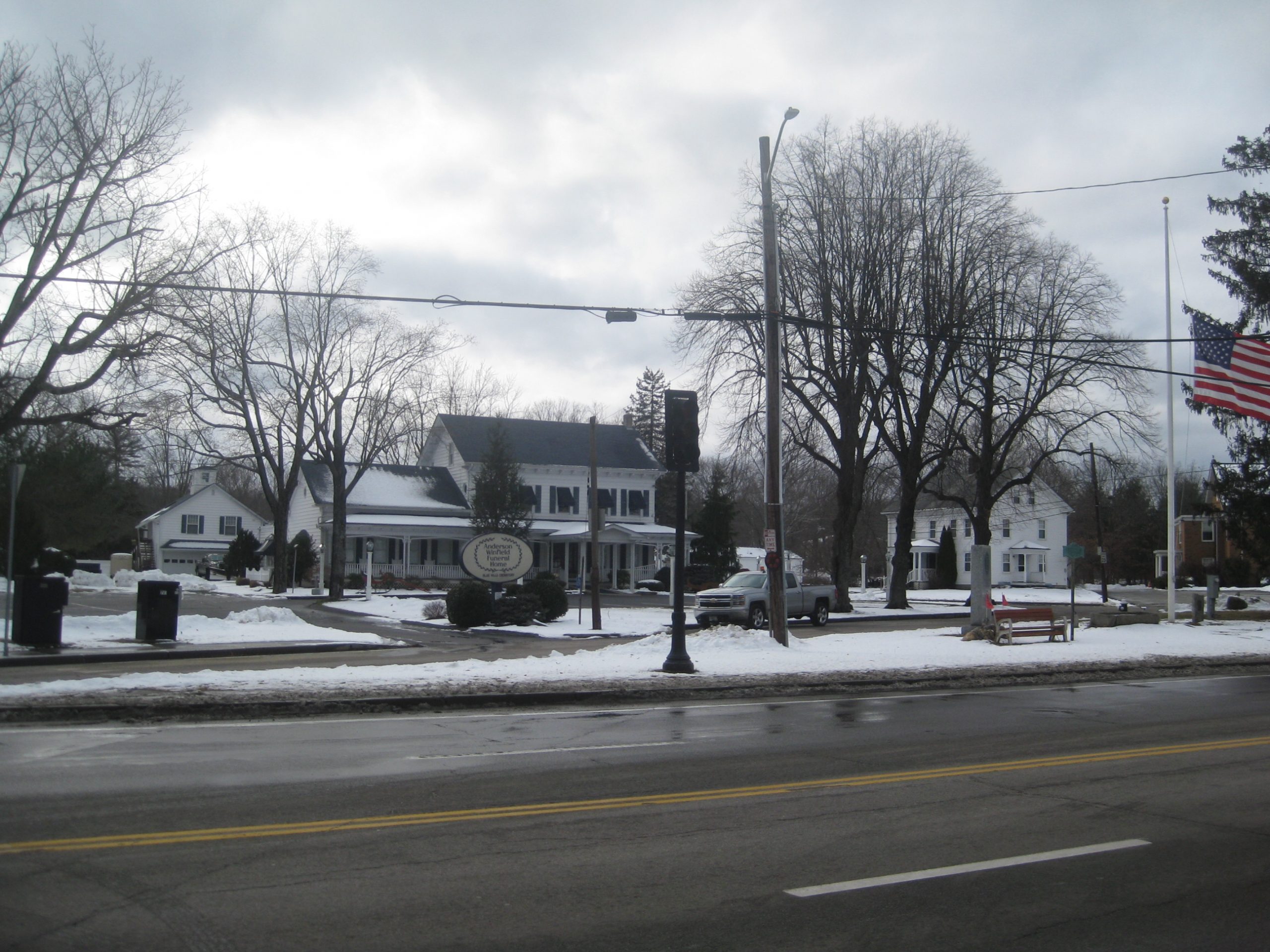
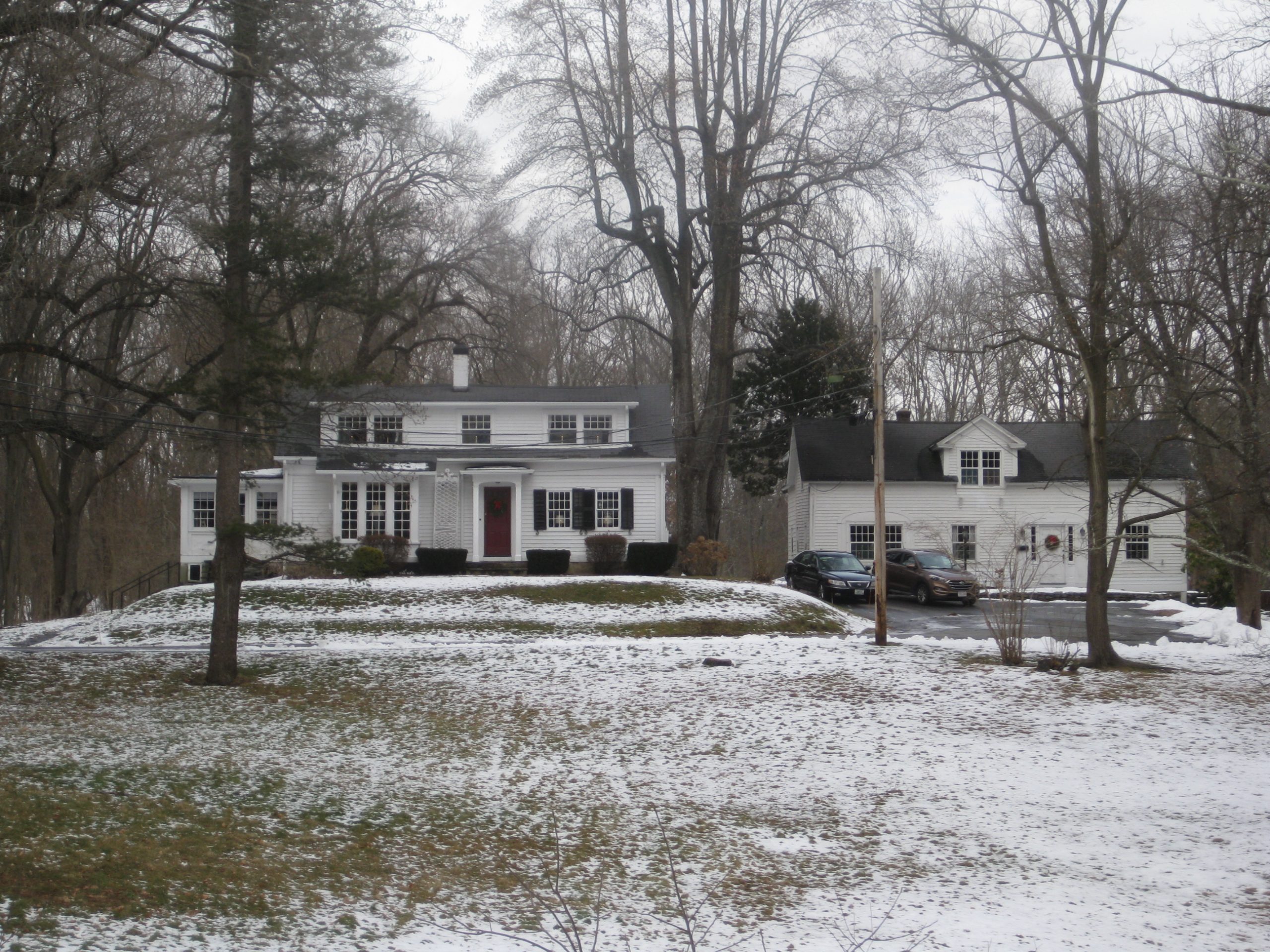
Winfield Funeral Home

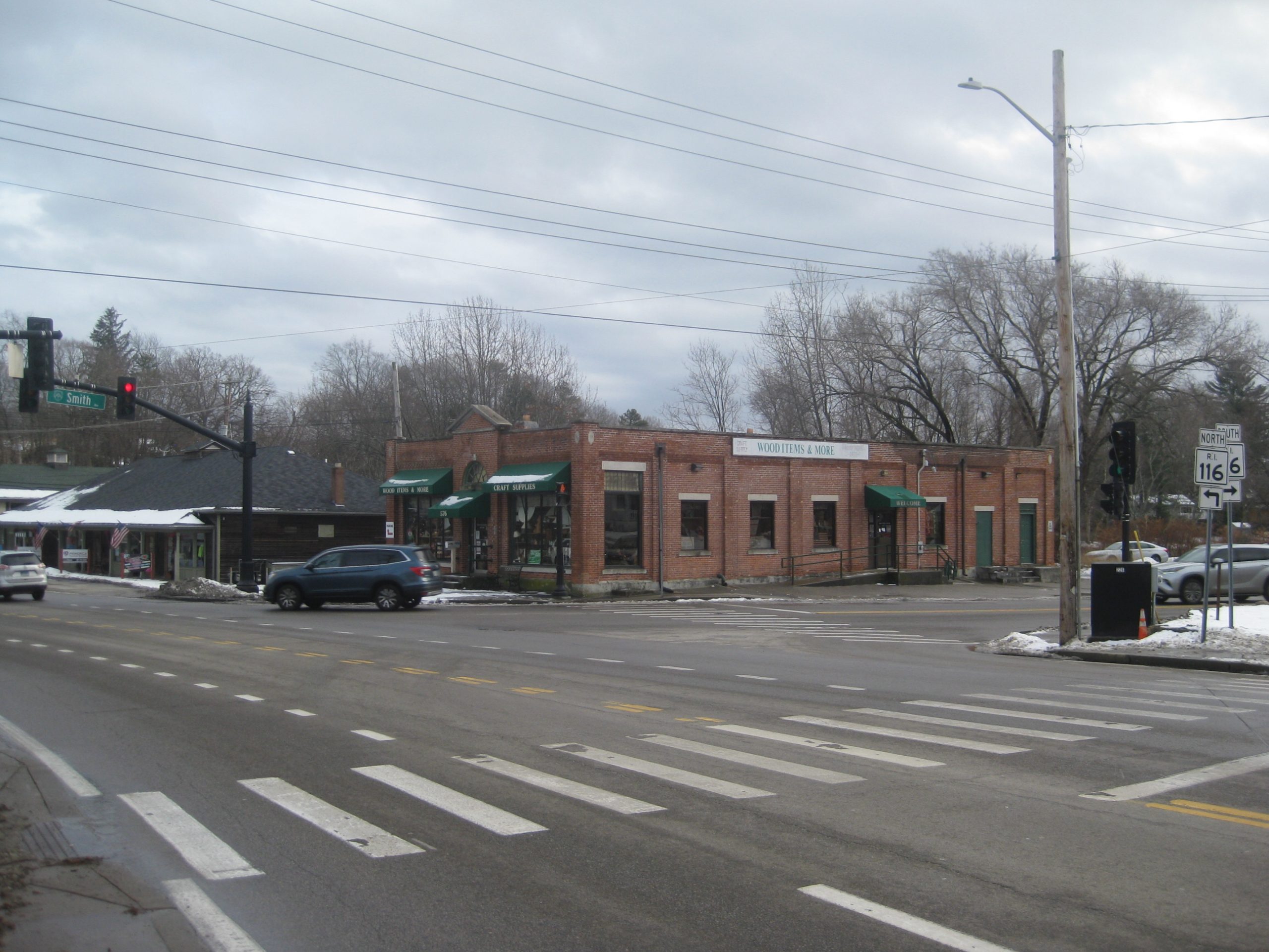
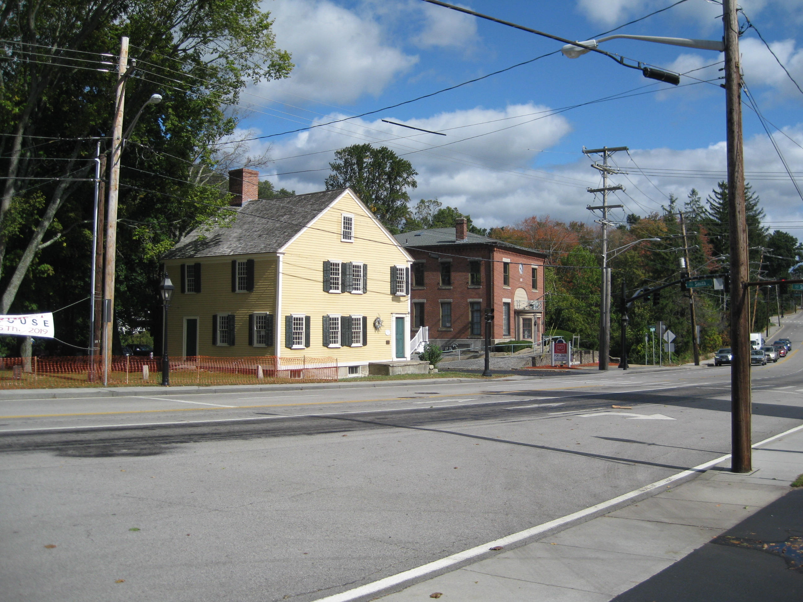
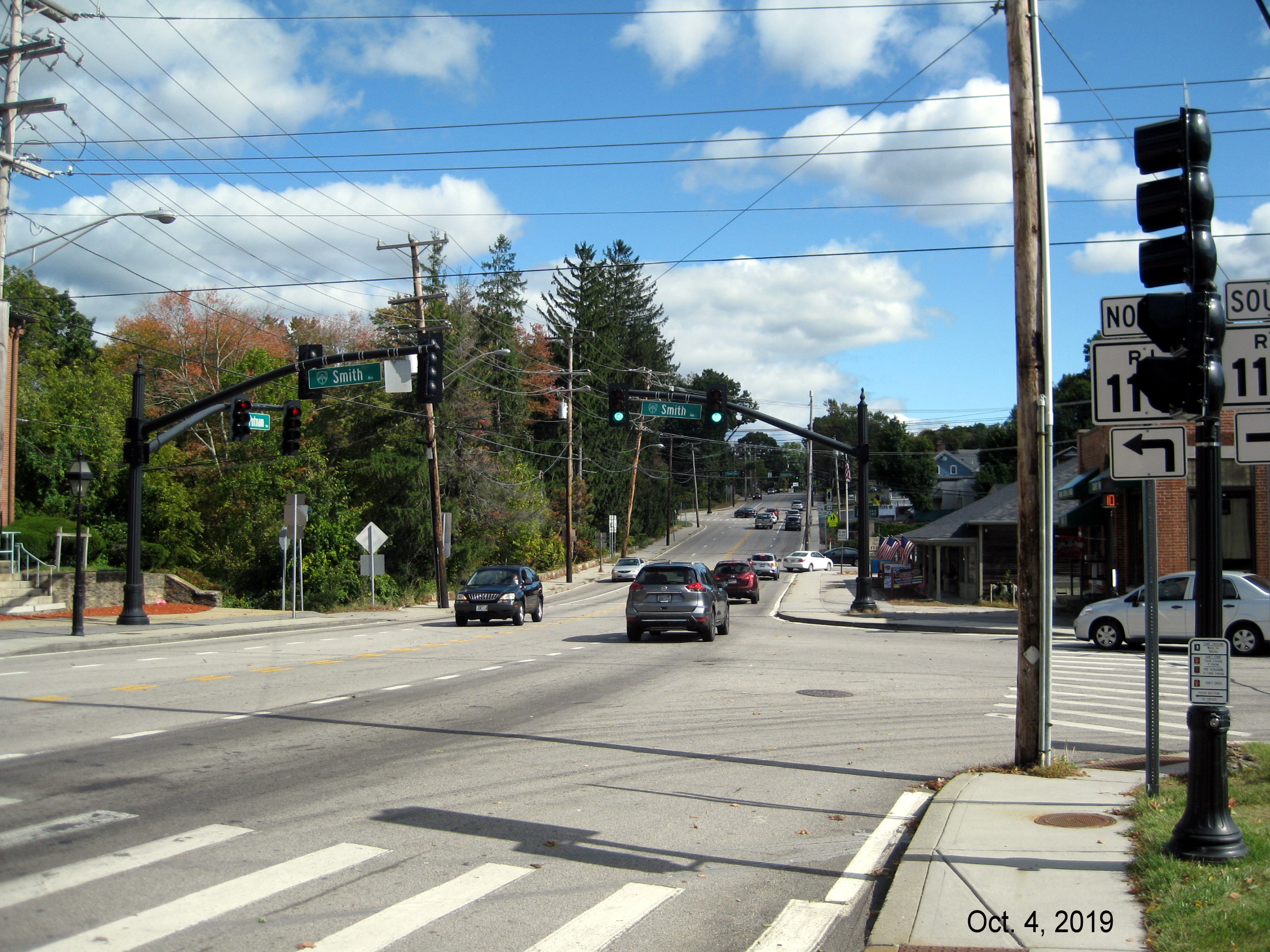
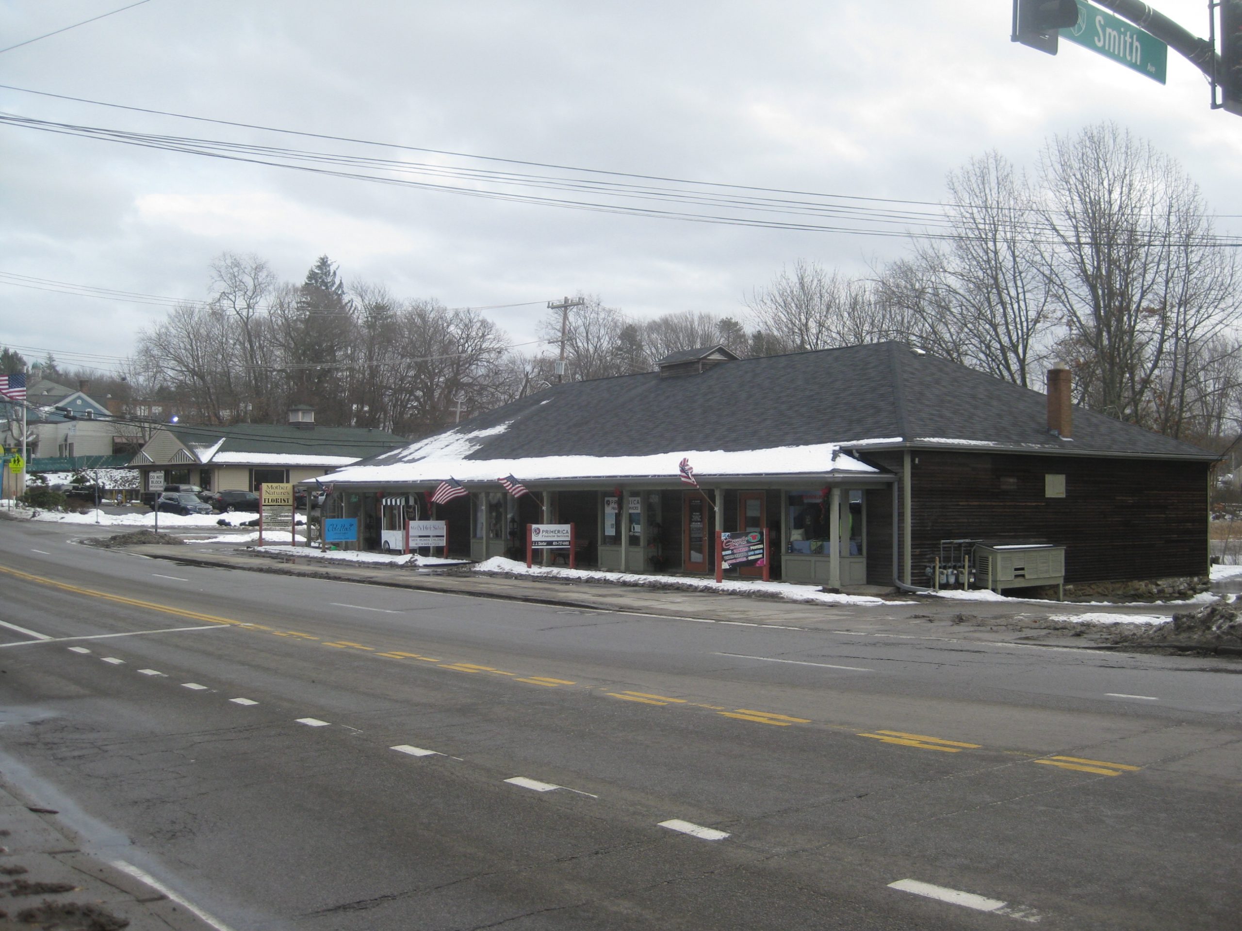
Rt. 44 at Smith Ave.

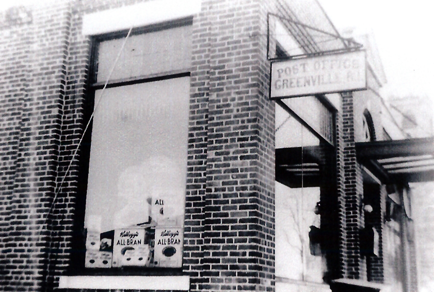
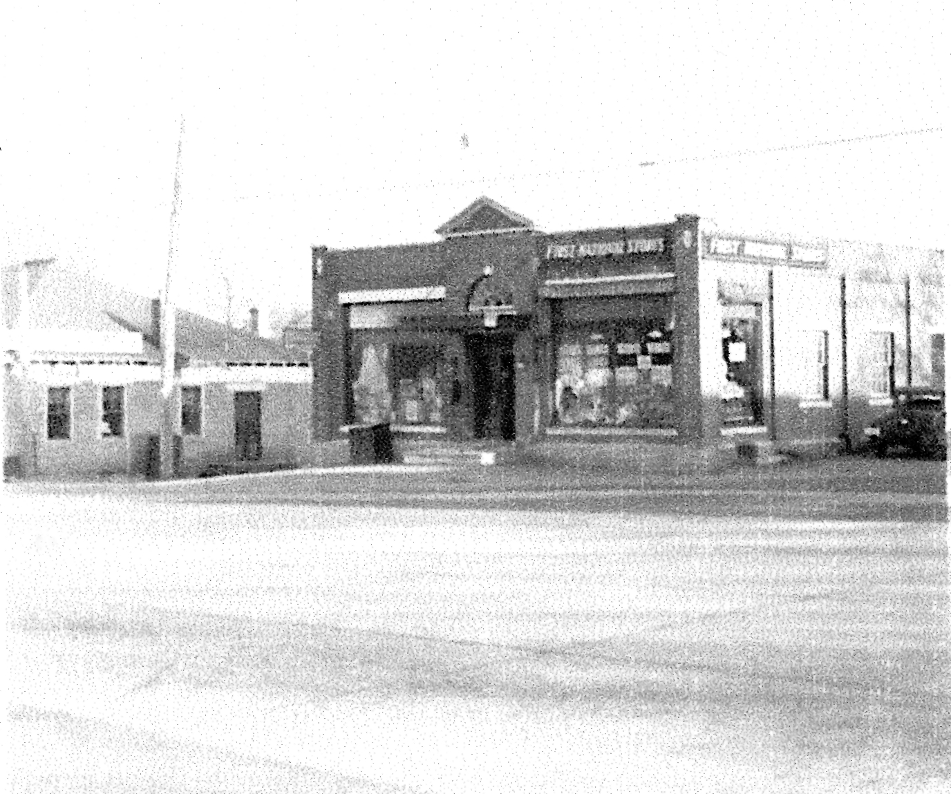
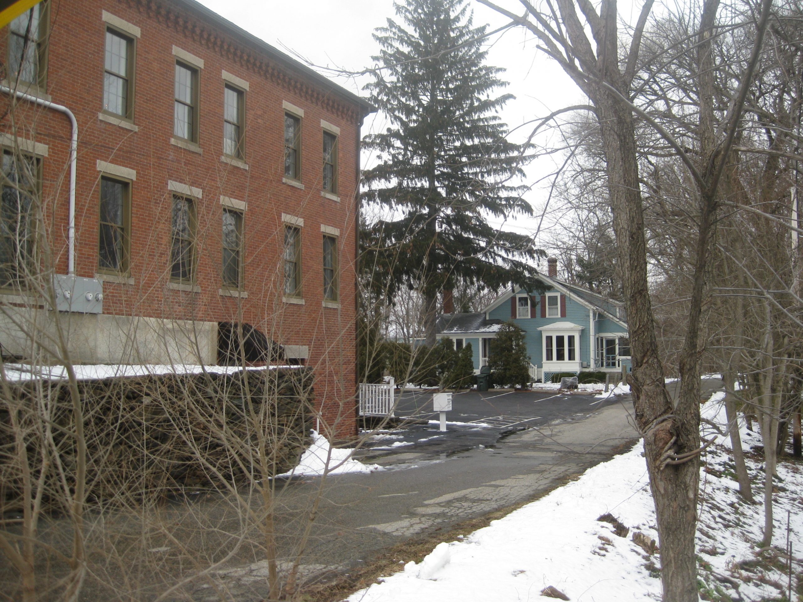
Old Exchange Bank

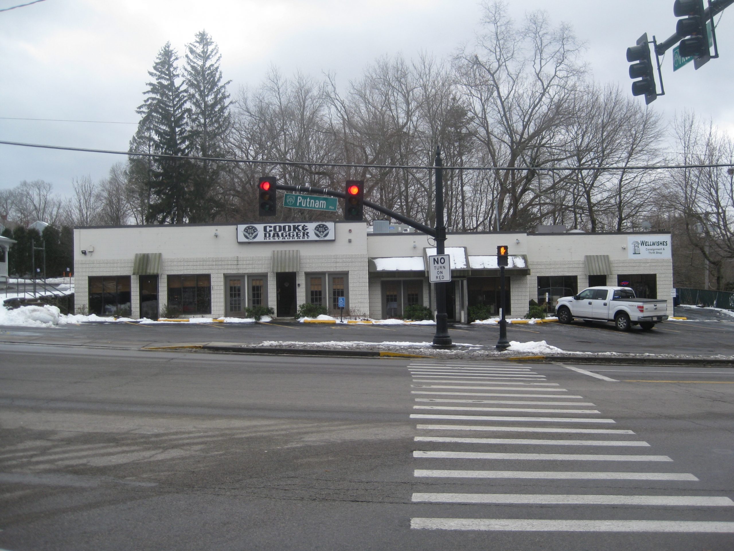
Rt. 44 at Greenville Ave

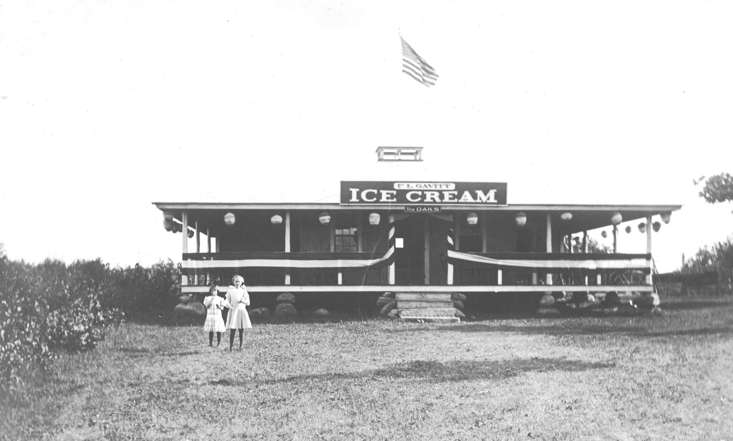
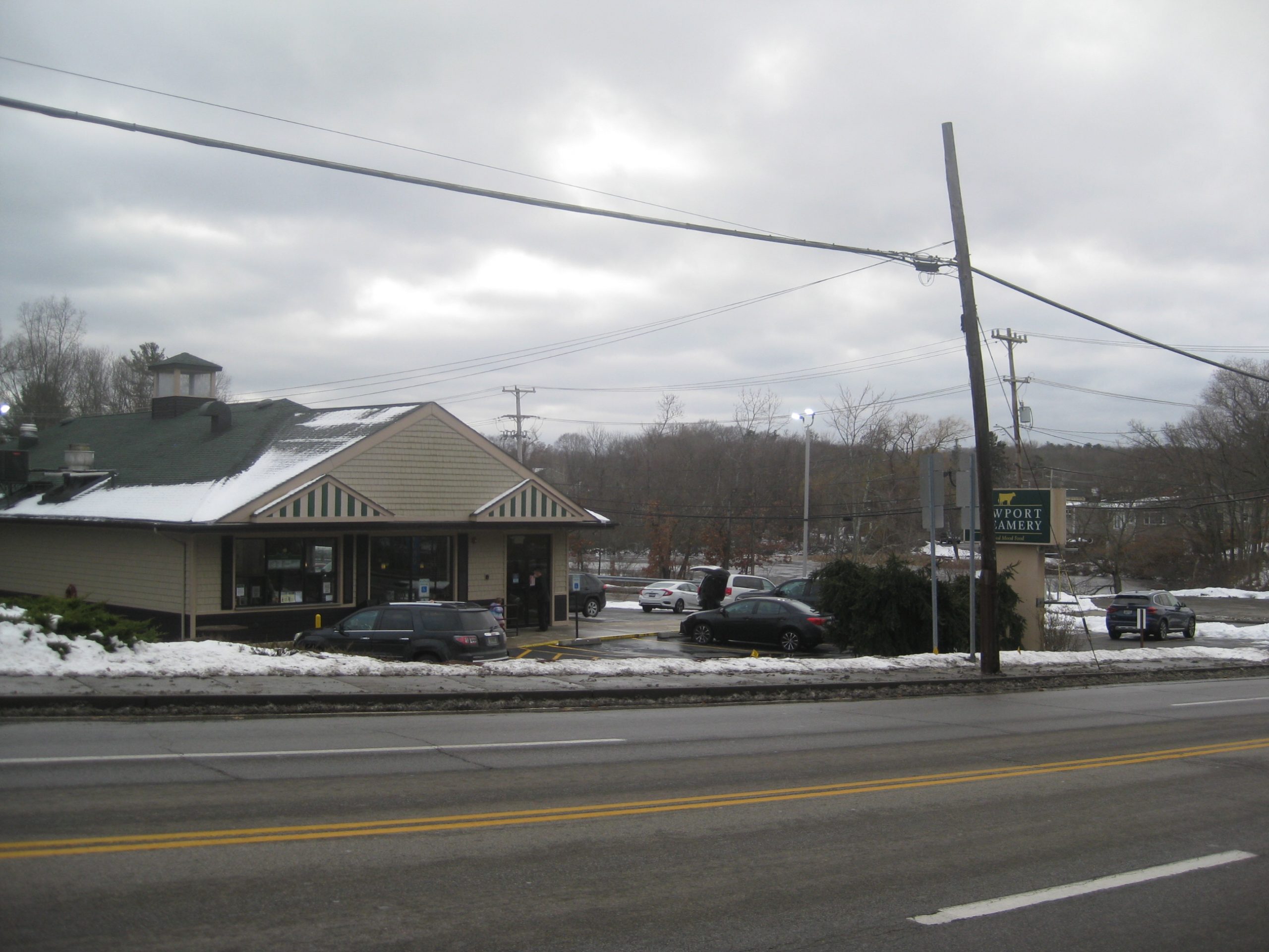
Newport Creamery

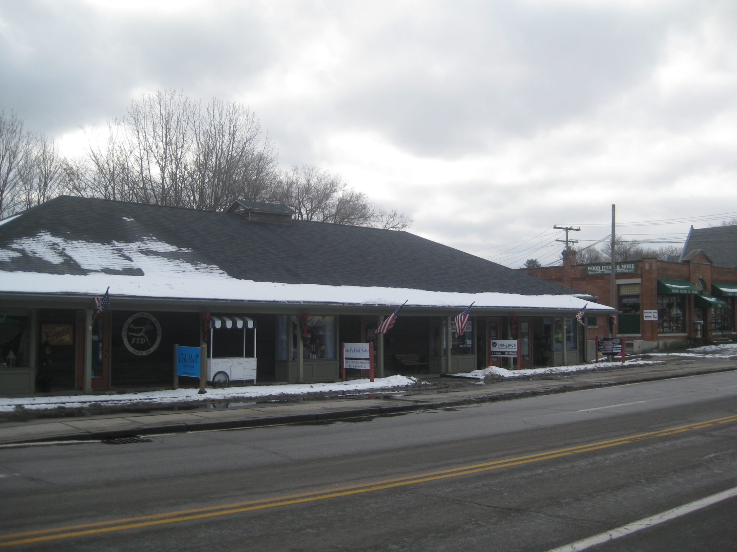
Rt. 44 looking east.

Pleasant View Ave looking towards Rt. 44